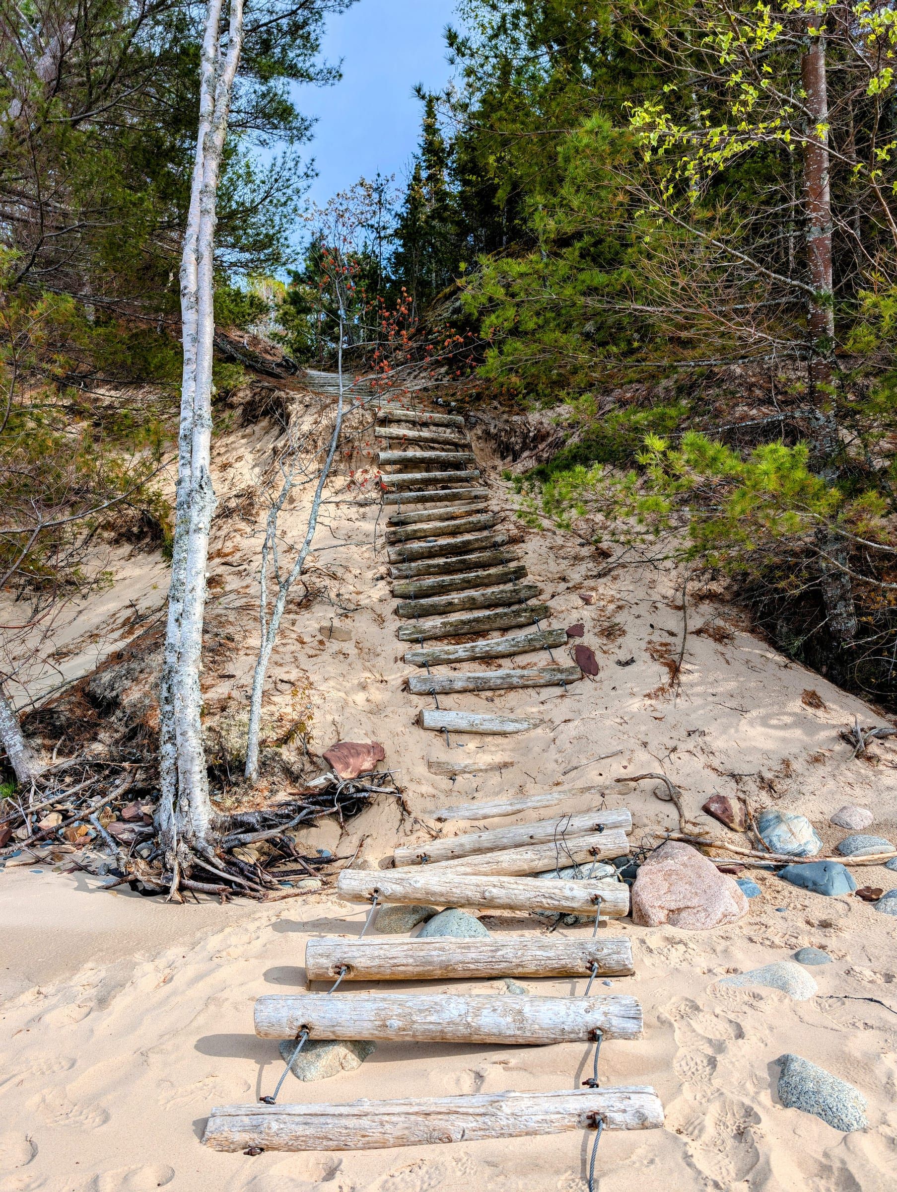
Nature preserve
Arcadia Dunes: The C.S. Mott Nature Preserve
3,927 acres of dunes, forest and grassland on Lake Michigan, with more than 15 miles of trails and an accessible path to a lake overlook.
State parks, the national lakeshore, land conservancy preserves and national forest land give the region a wide range of walks, from short boardwalks to full-day dune hikes.
Nature preserve
3,927 acres of dunes, forest and grassland on Lake Michigan, with more than 15 miles of trails and an accessible path to a lake overlook.
Attraction
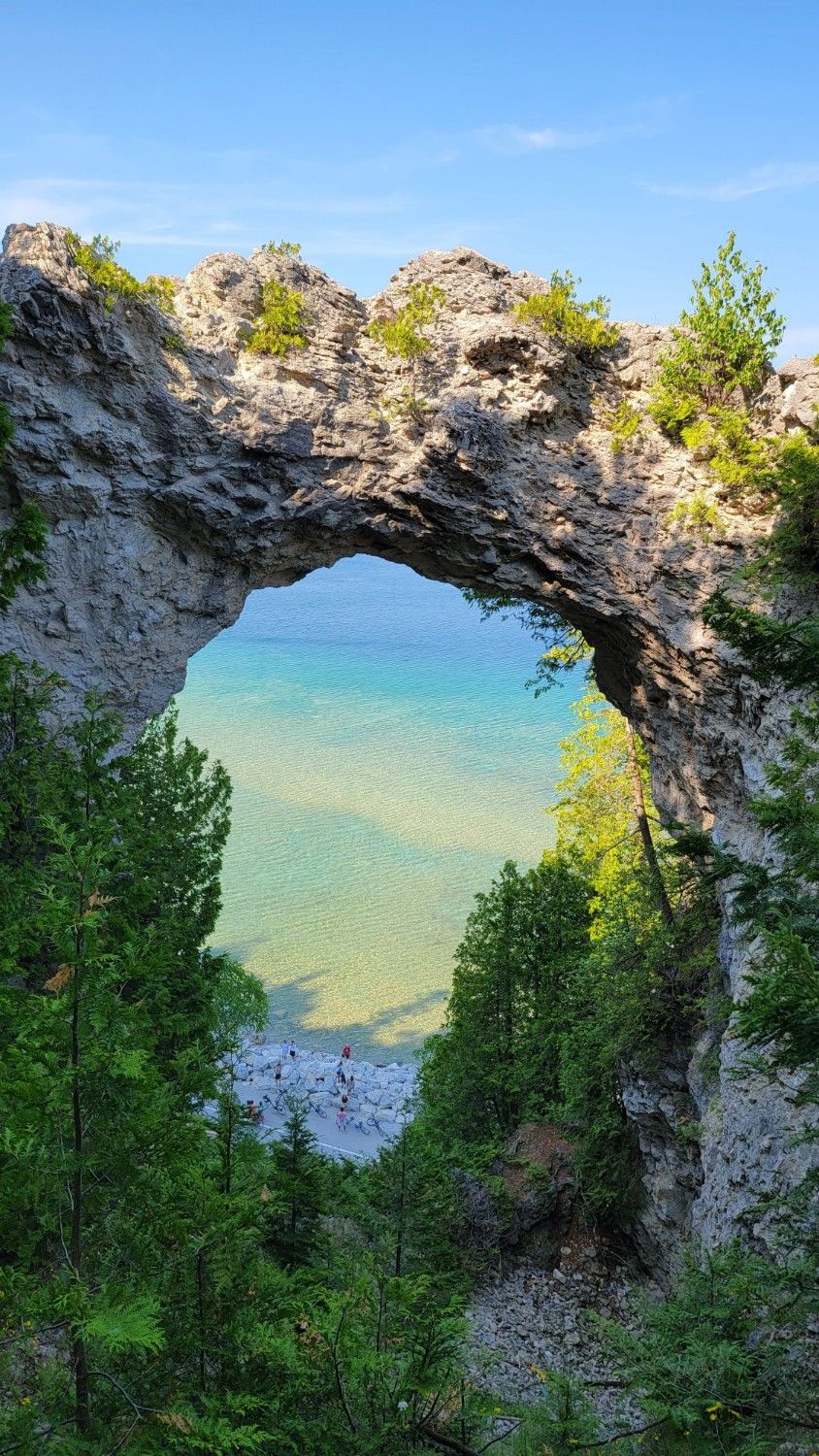
A natural limestone arch on Mackinac Island's east side, 146 feet above the water. You can see it from the shore road or from the bluff above.
Lighthouse
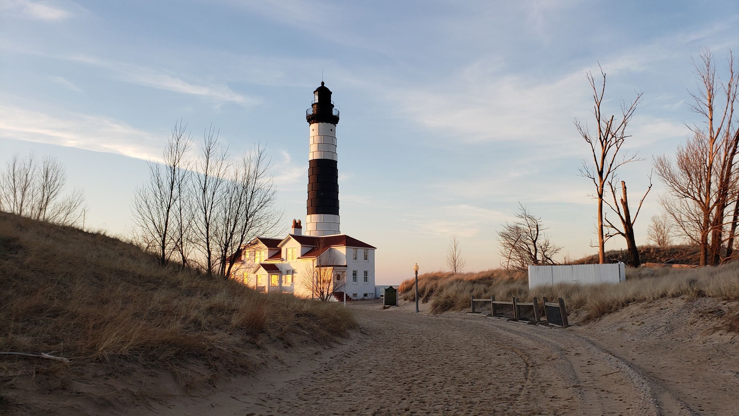
An 1867 lighthouse, 112 feet tall and banded black and white, on the Lake Michigan shore in Ludington State Park. You reach it on a 1.8-mile walk or ride.
Trail
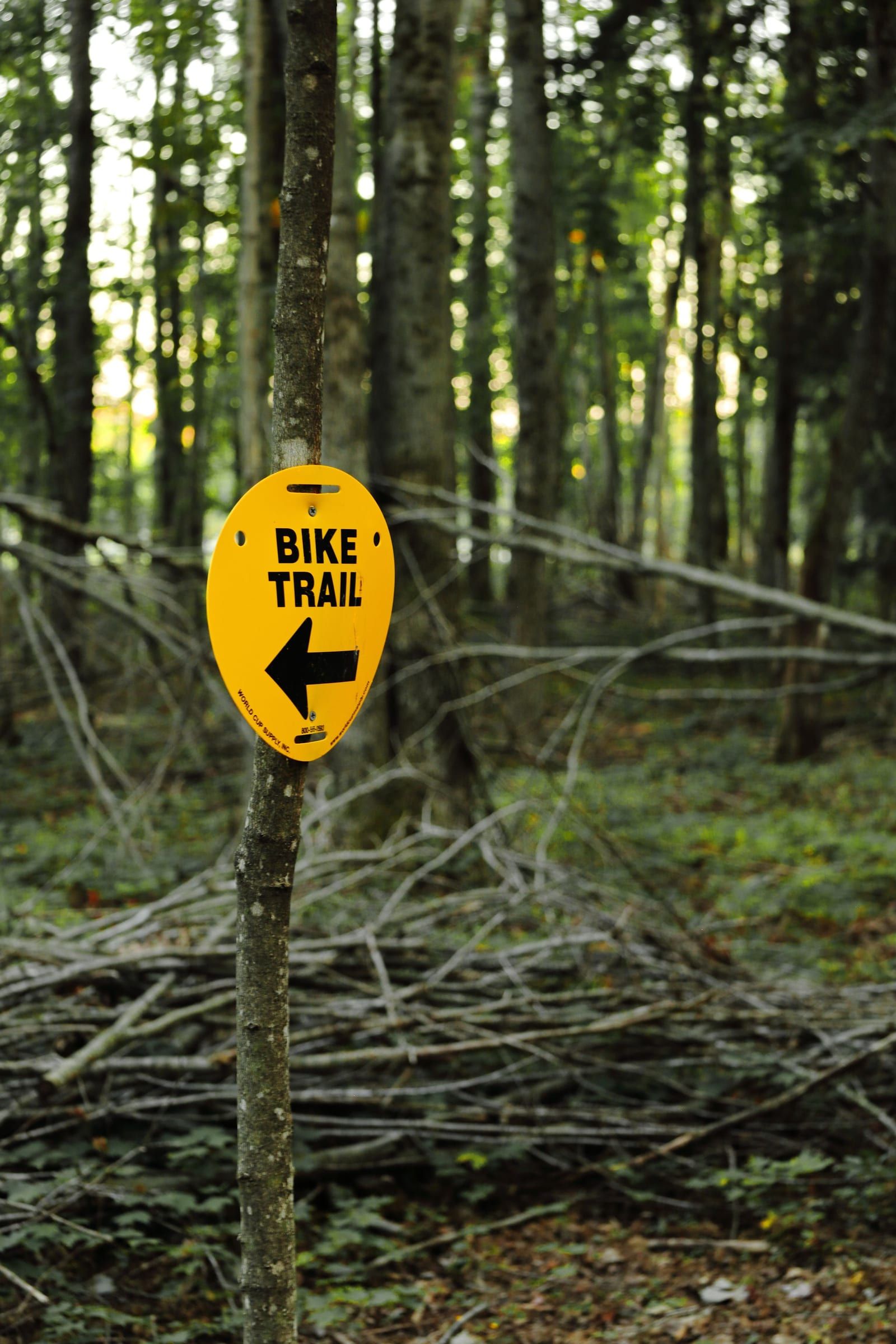
A paved, non-motorized trail along Little Traverse Bay linking Charlevoix, Petoskey and Harbor Springs, much of it with open views of the water.
State park
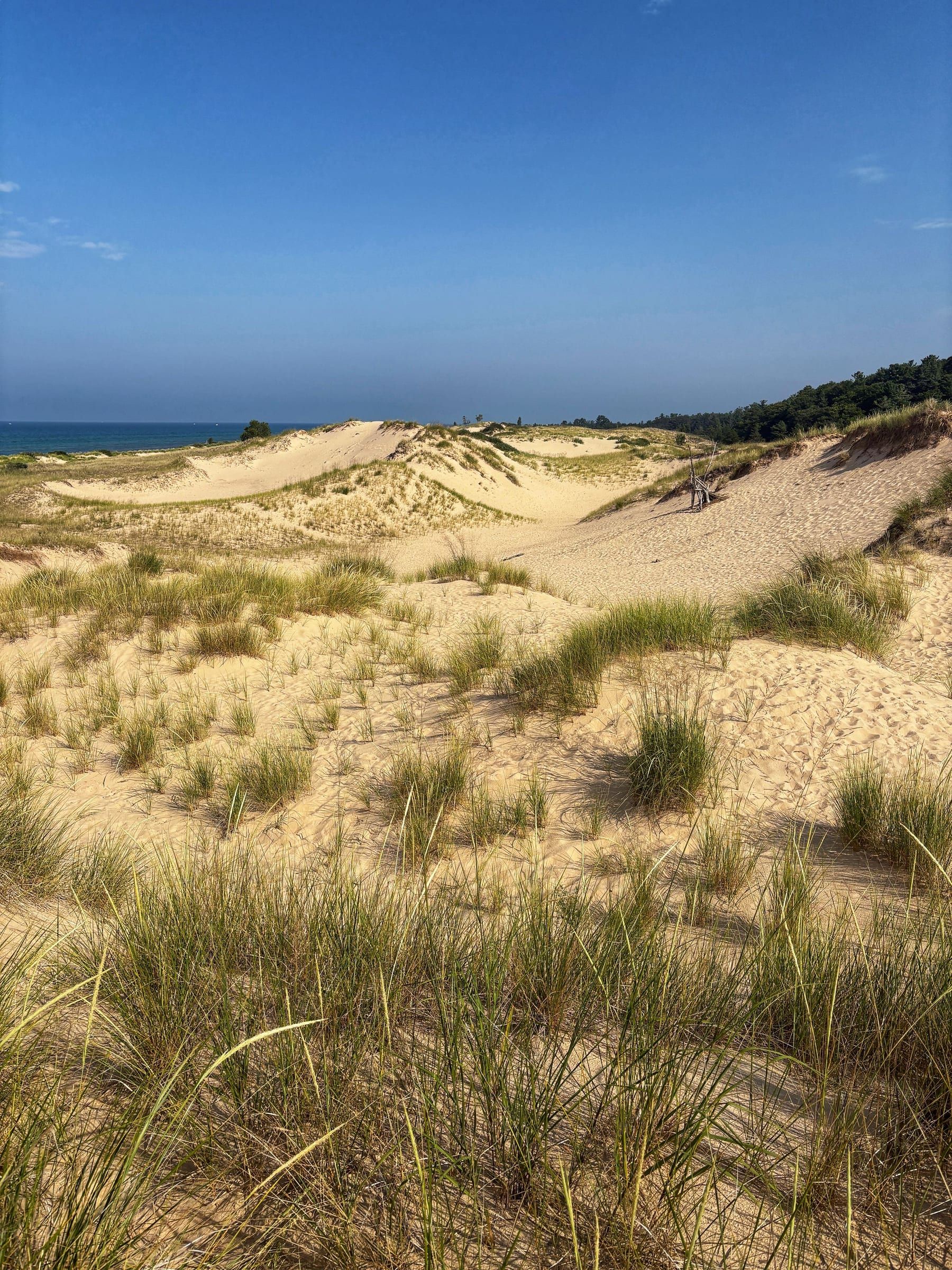
A big dune park between Hamlin Lake and 7 miles of Lake Michigan shore, with three campgrounds, 21 miles of trails and the walk to Big Sable Point Lighthouse.
State park
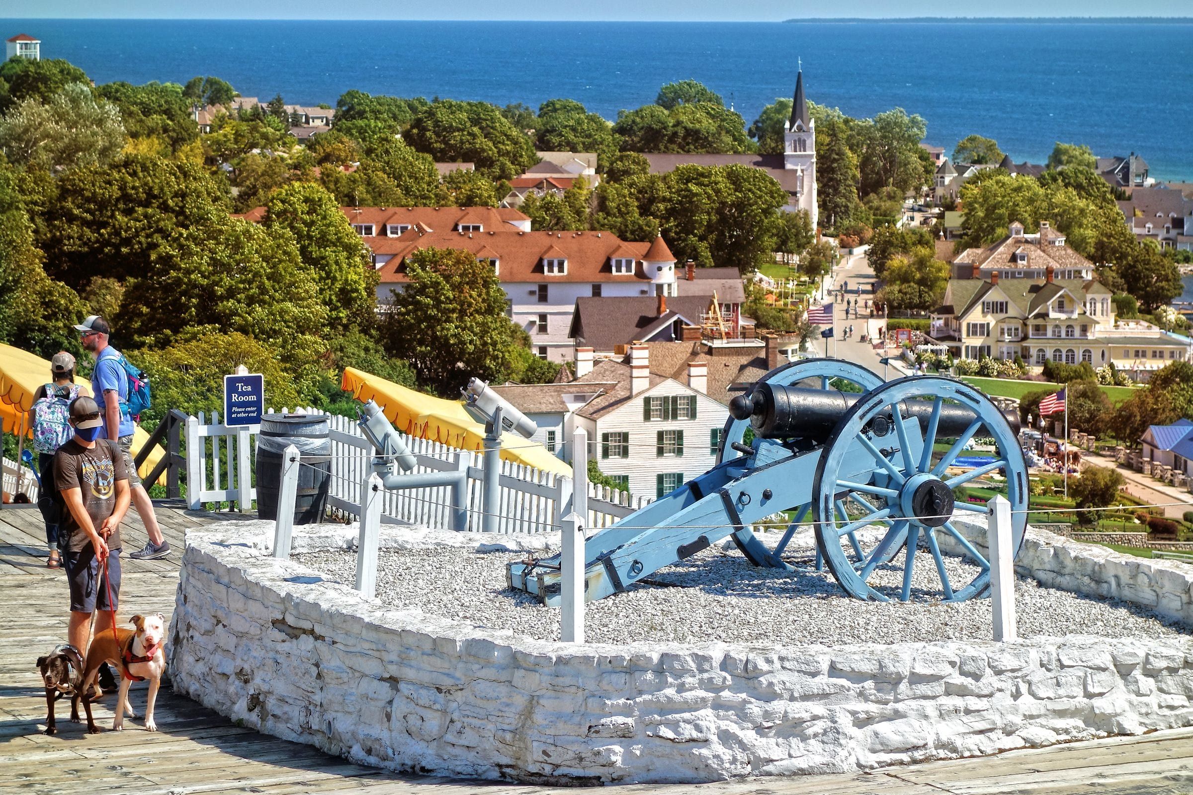
Michigan's first state park covers more than 80 percent of Mackinac Island: forest, limestone formations, historic sites and 70-plus miles of roads and trails.
Lighthouse
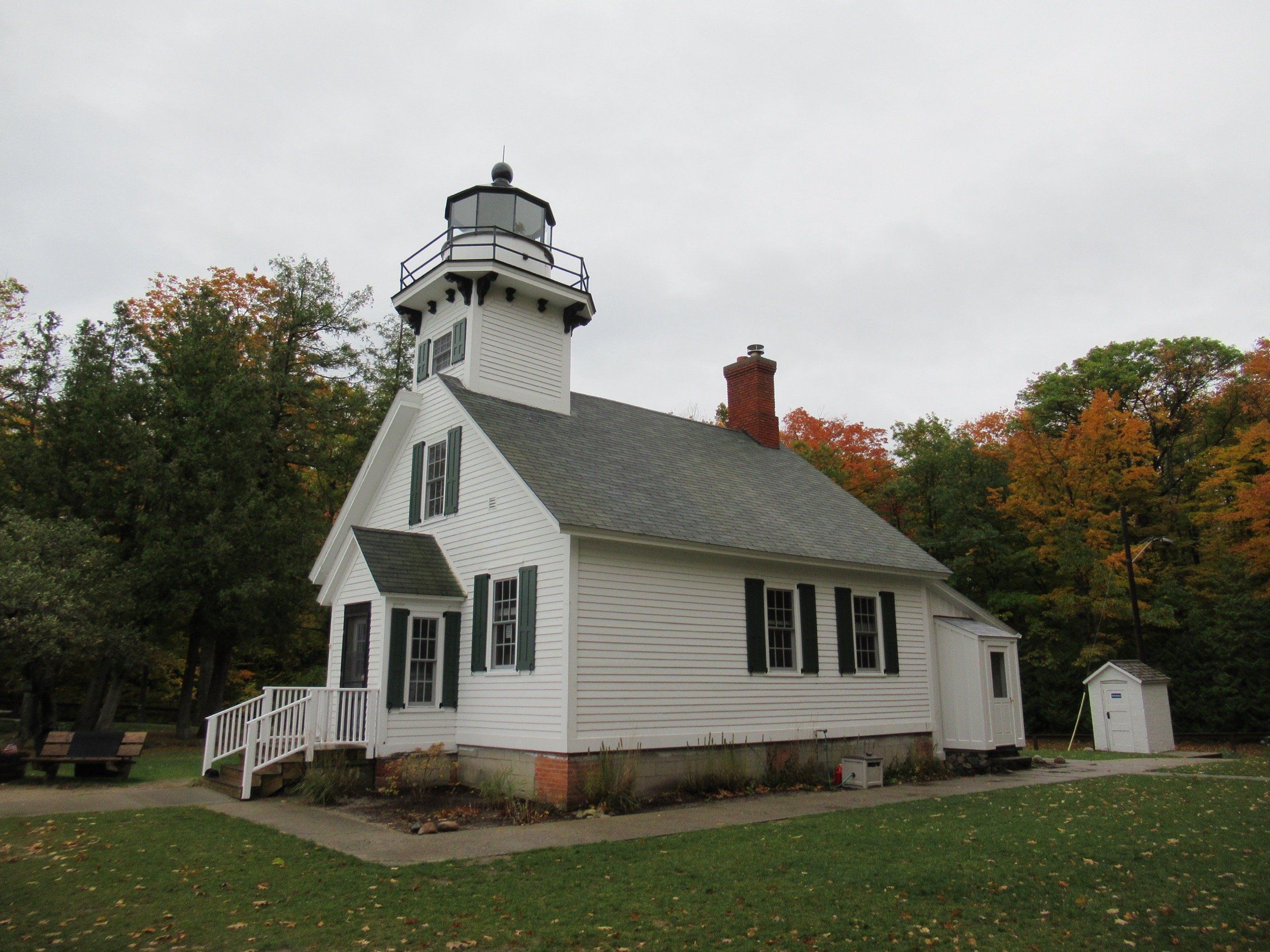
An 1870 lighthouse at the northern tip of the Old Mission Peninsula, with a climbable tower, a small museum, a beach and trails around it.
State park
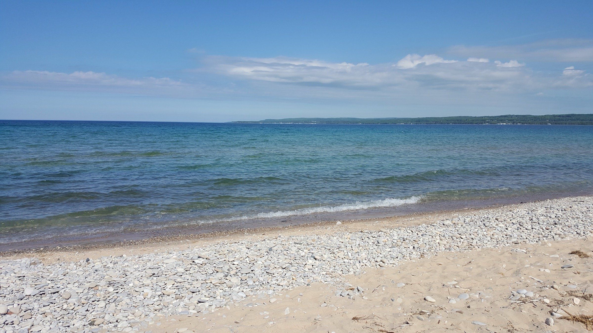
A mile of Lake Michigan beach on Little Traverse Bay between Petoskey and Harbor Springs, with wooded dunes and the climb up Old Baldy.
Scenic drive
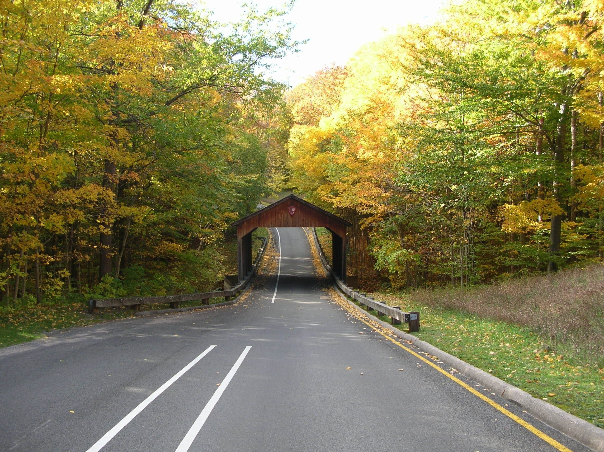
A 7.4-mile one-way loop in Sleeping Bear Dunes National Lakeshore with 12 stops and overlooks of Lake Michigan, the Glen Lakes and the dunes.
National park
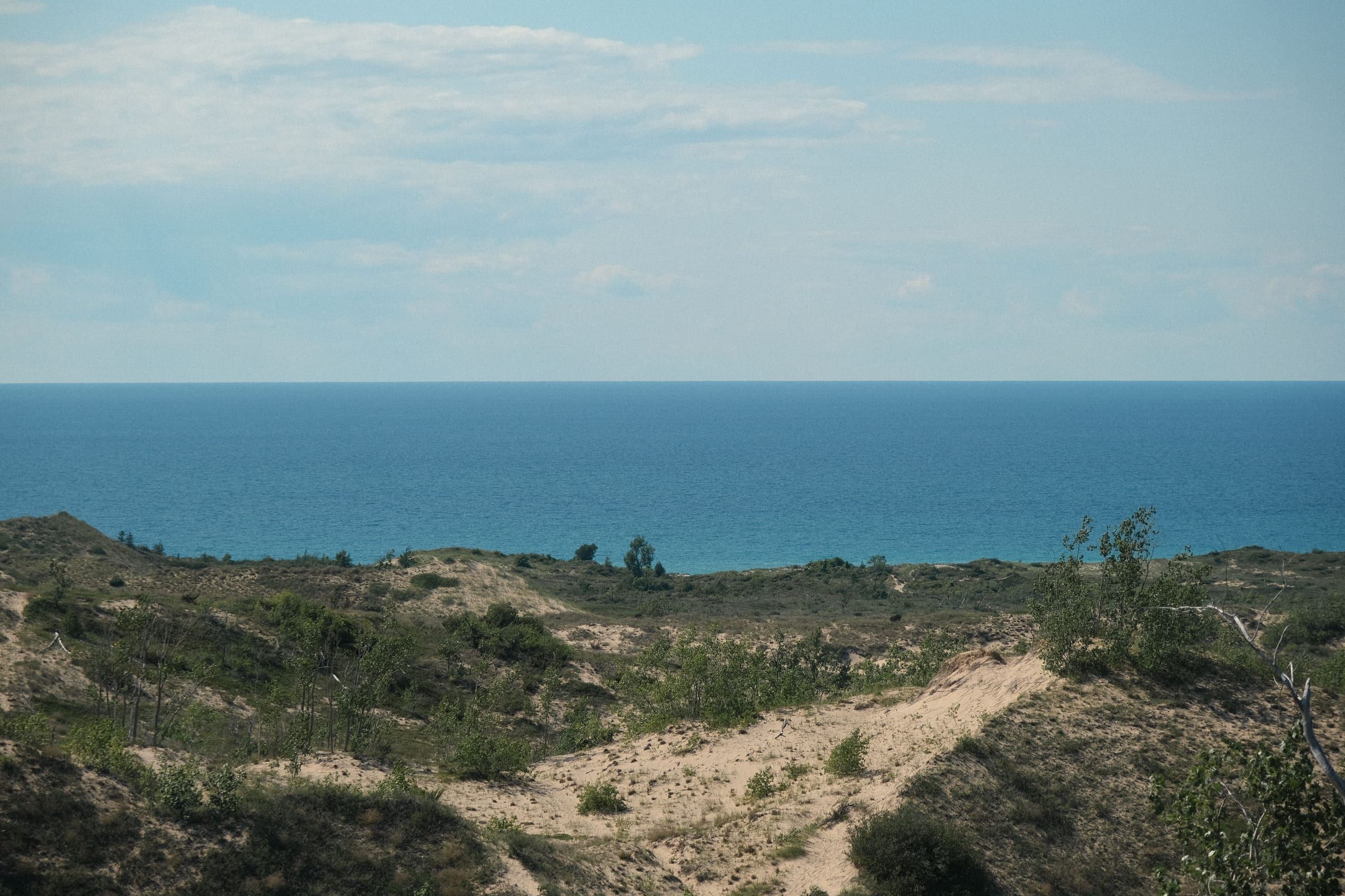
Dunes, high bluffs, beaches, inland lakes and two islands along 65 miles of Lake Michigan shoreline in Benzie and Leelanau counties.
Trail
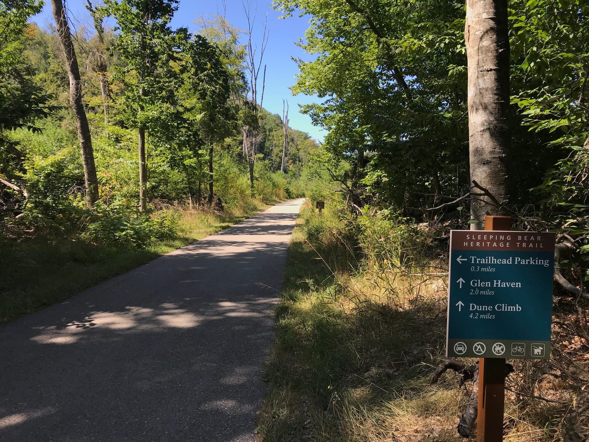
A mostly paved trail of about 22 miles through Sleeping Bear Dunes National Lakeshore, linking Empire, the Dune Climb, Glen Haven, Glen Arbor and Port Oneida.
Trail
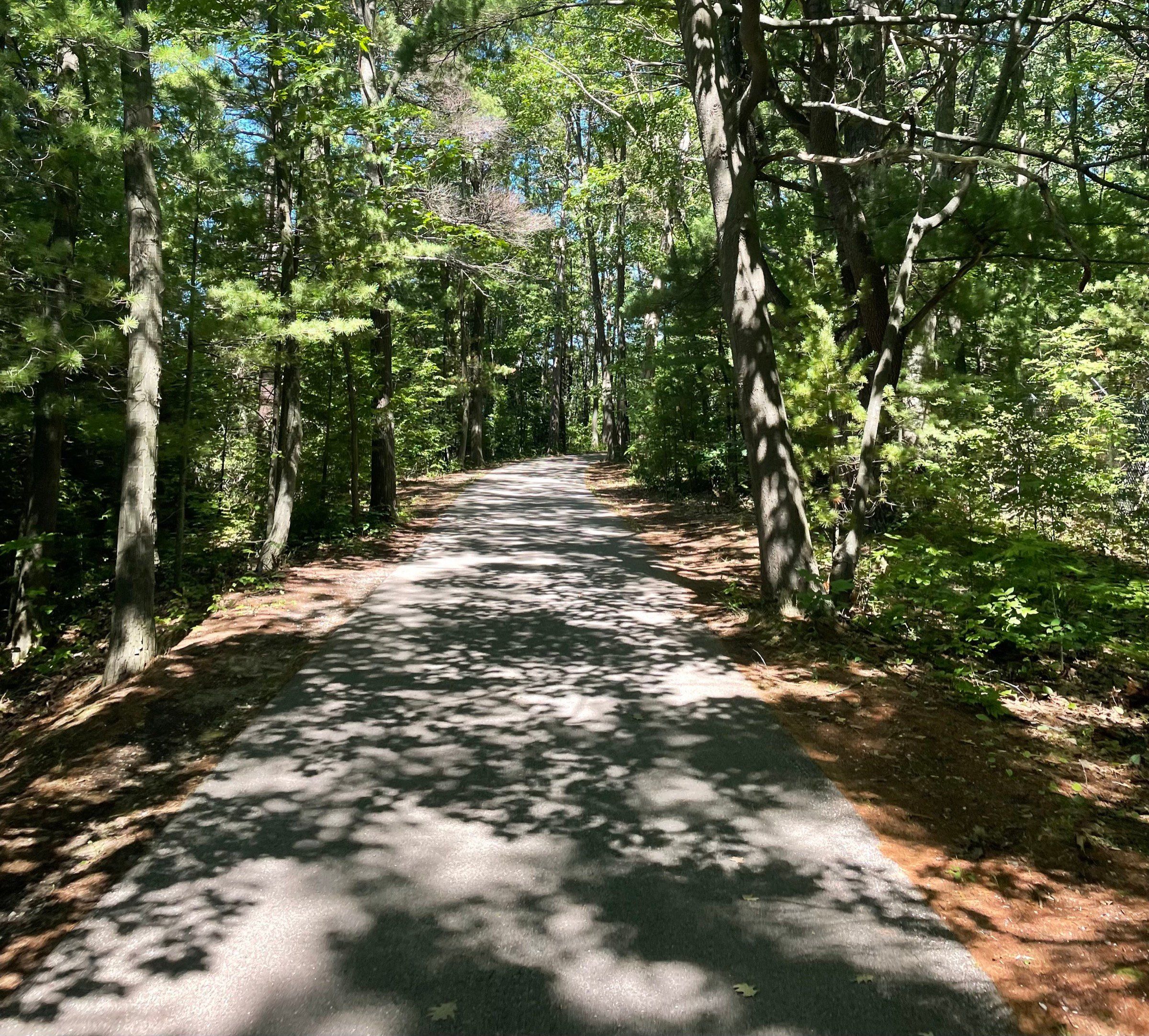
Traverse City's trail network, built around the 10.5-mile paved TART along the bay and linked to the Leelanau Trail, Boardman Lake Loop and VASA Pathway.
Attraction
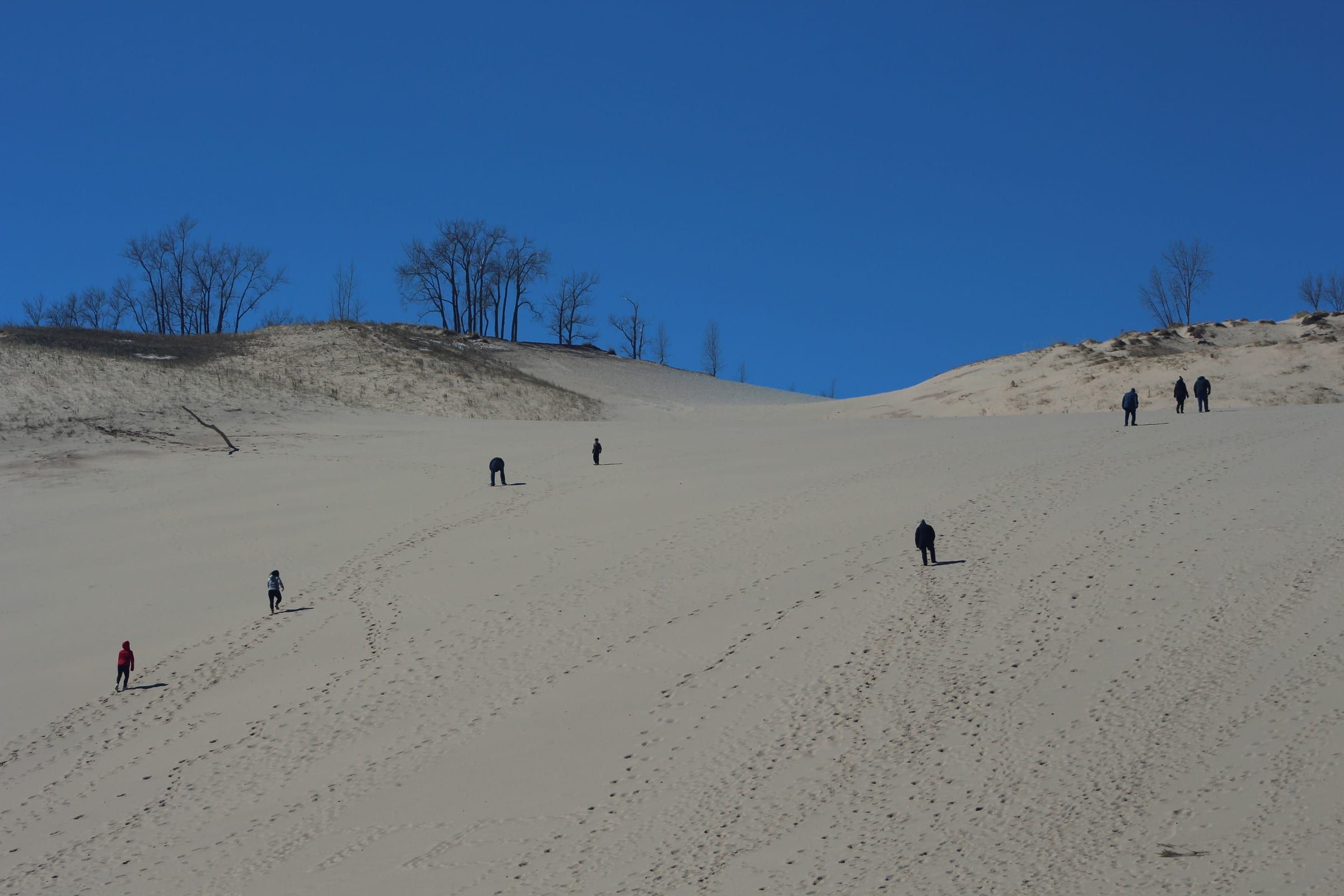
A steep, open sand dune on M-109 in Sleeping Bear Dunes National Lakeshore, with a picnic area at its base and a hard trail over the dunes to Lake Michigan.
Attraction
Lake Michigan's largest island, a ferry ride of just over two hours from Charlevoix, with beaches, lighthouses and long trails. Plan to stay the night.
Trail
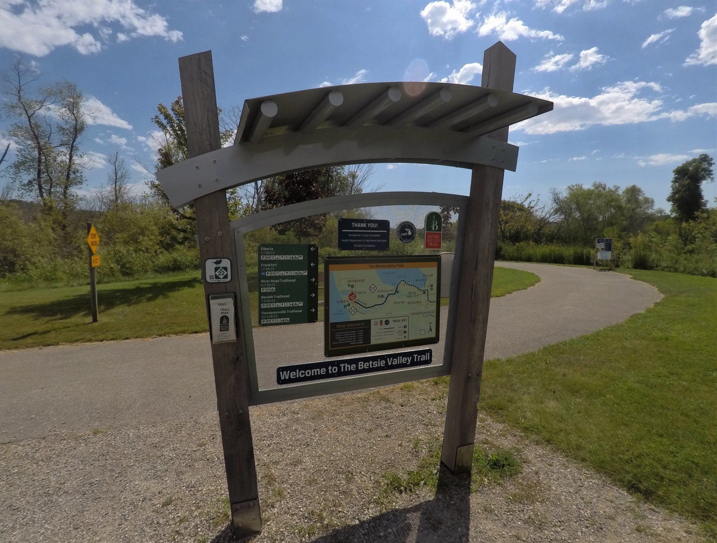
A 22-mile rail trail from Frankfort past Crystal Lake and Beulah, paved at the west end and aggregate beyond, with snowmobiling on the east part in winter.
Ski area
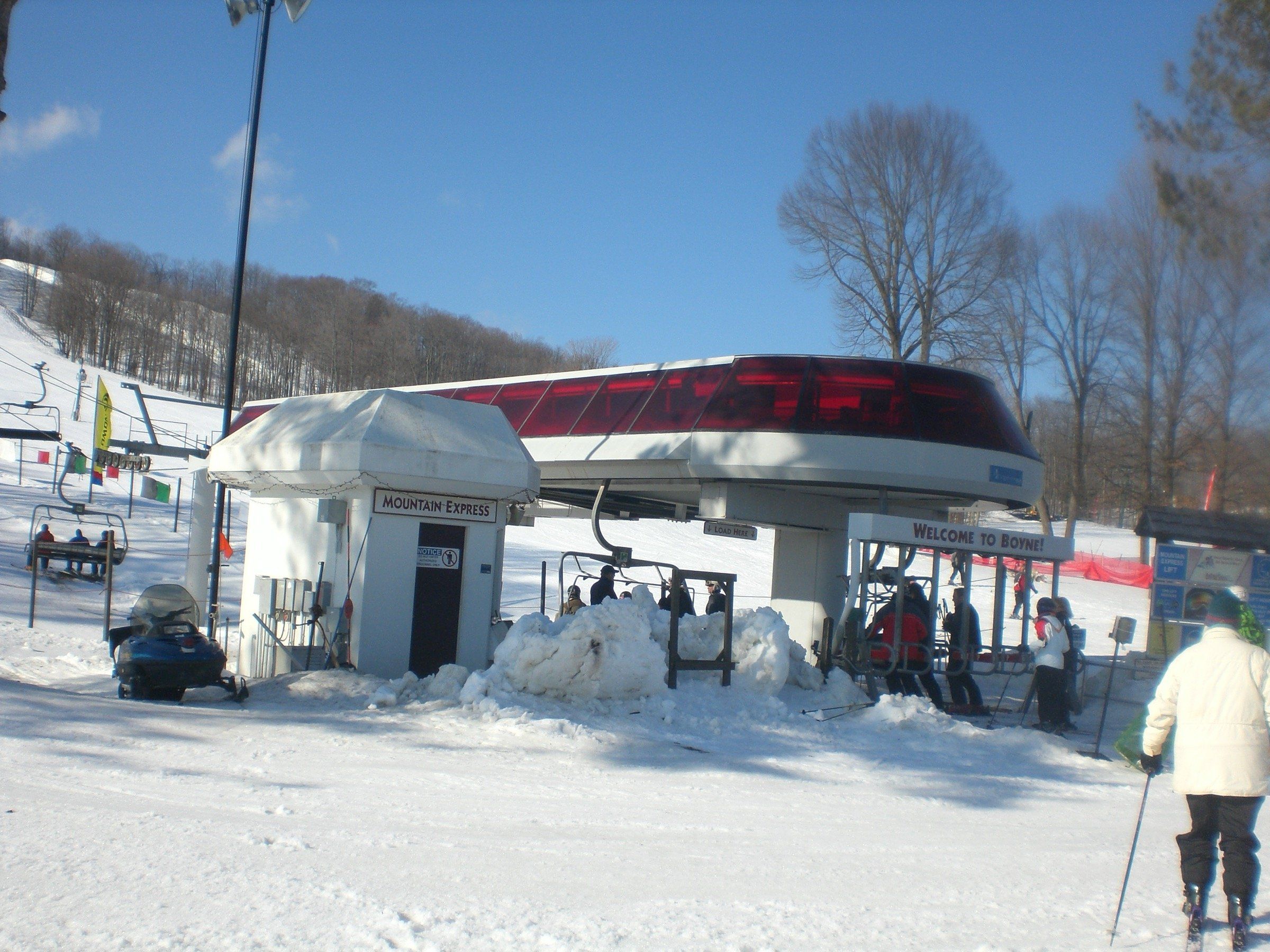
A big resort at Boyne Falls with 65 trails on 415 skiable acres, 35 km of cross-country trails, and SkyBridge Michigan and bike trails in the warm months.
State park
A small Lake Michigan beach park at the edge of Pentwater, with a buoyed swim beach by the harbor pier, a campground and a trail up Old Baldy.
Ski area
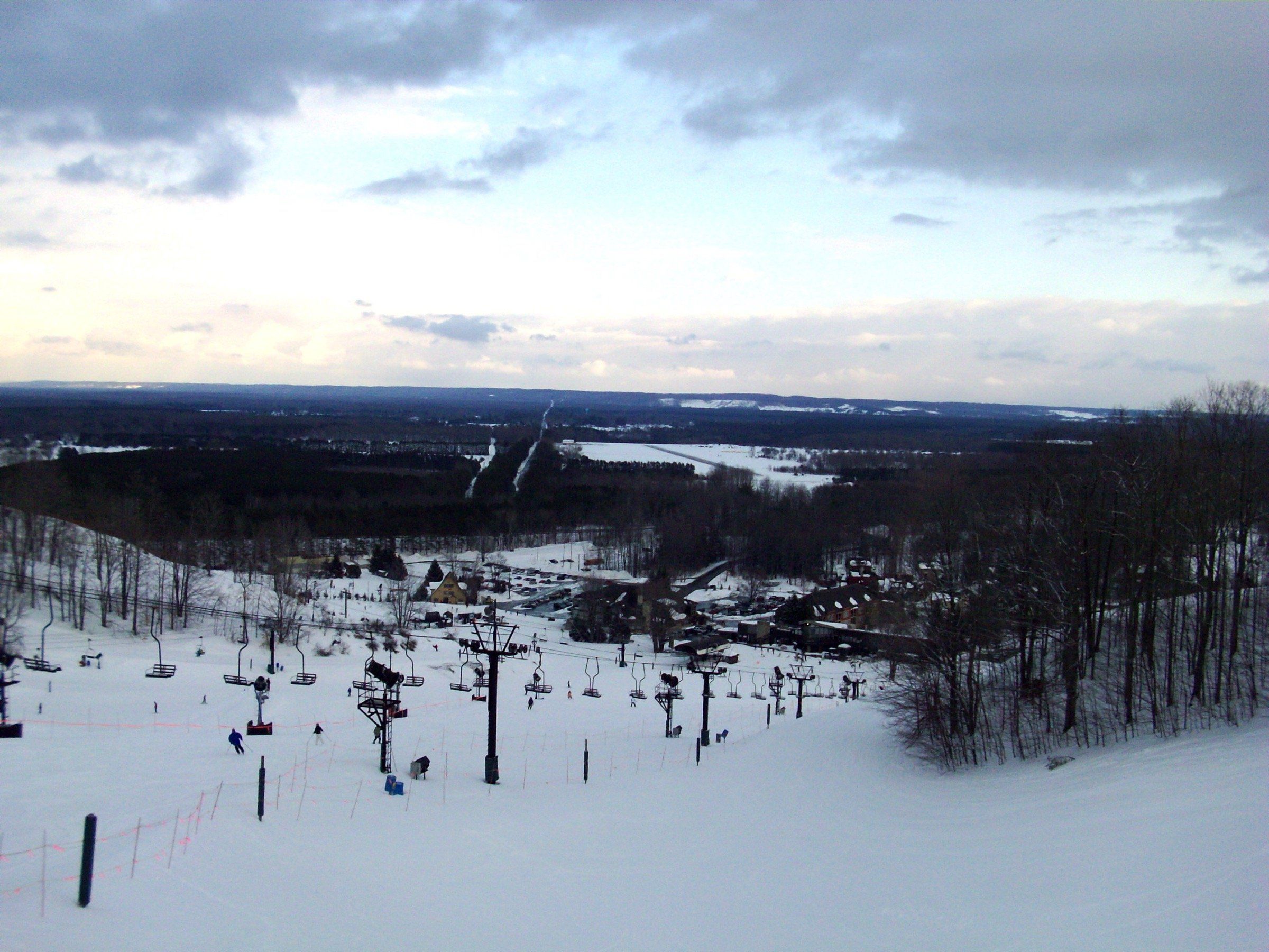
A four-season resort in Thompsonville with 59 downhill runs, 25 km of Nordic trails and groomed winter bike trails, plus singletrack and golf in summer.
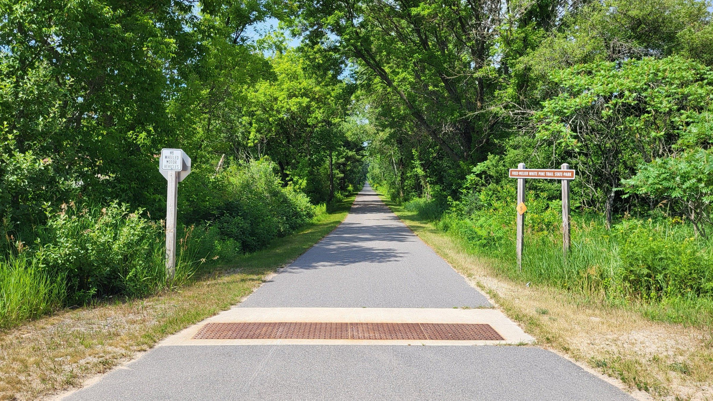
Trail
A 92-mile paved rail trail whose northern end is in Cadillac, for long rides south through towns, farmland and woods toward Grand Rapids.
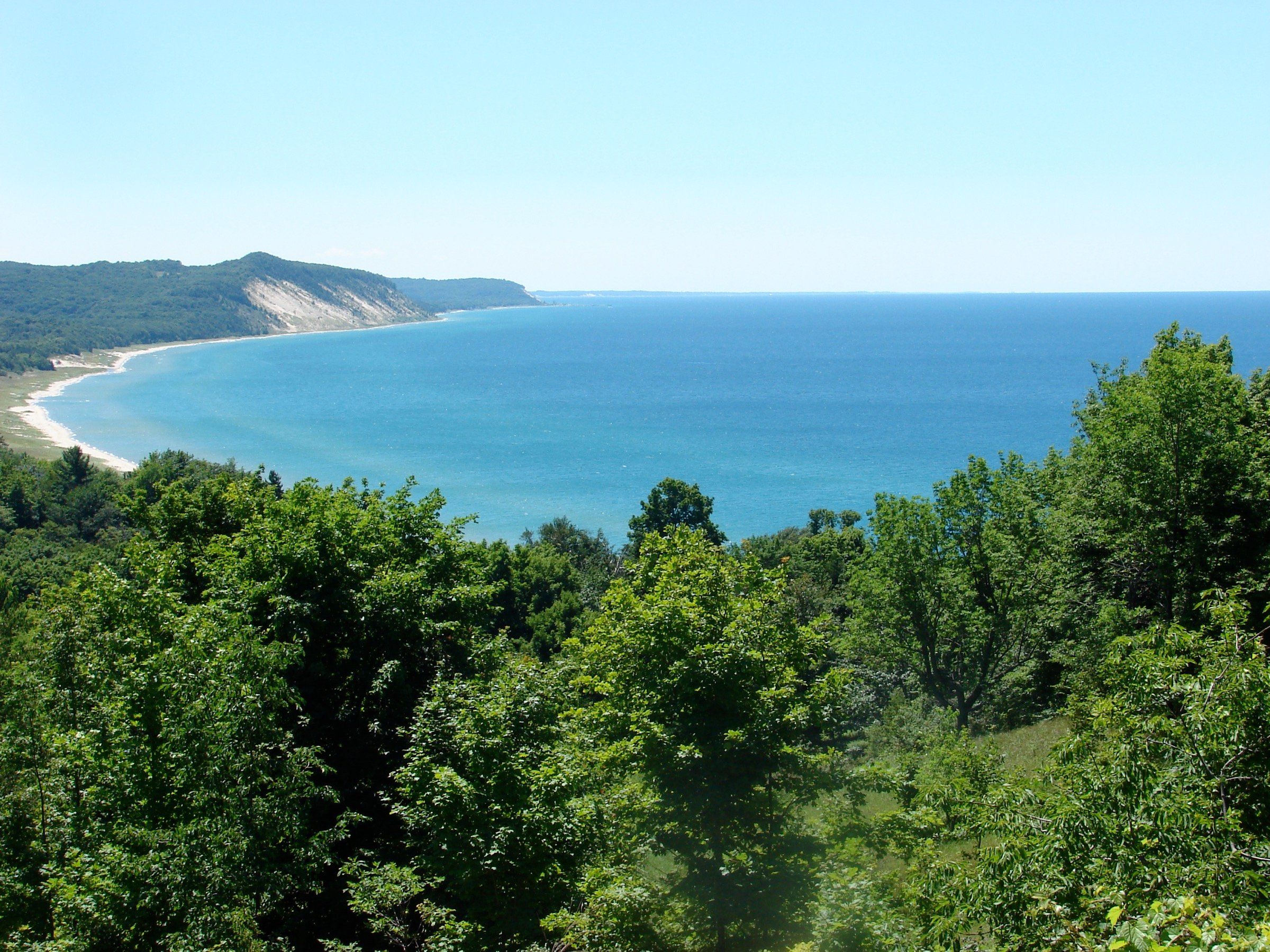
Nature preserve
A 242-acre land conservancy preserve south of Elberta, with a trail of nearly three miles round trip through forest and meadow to Lake Michigan views.
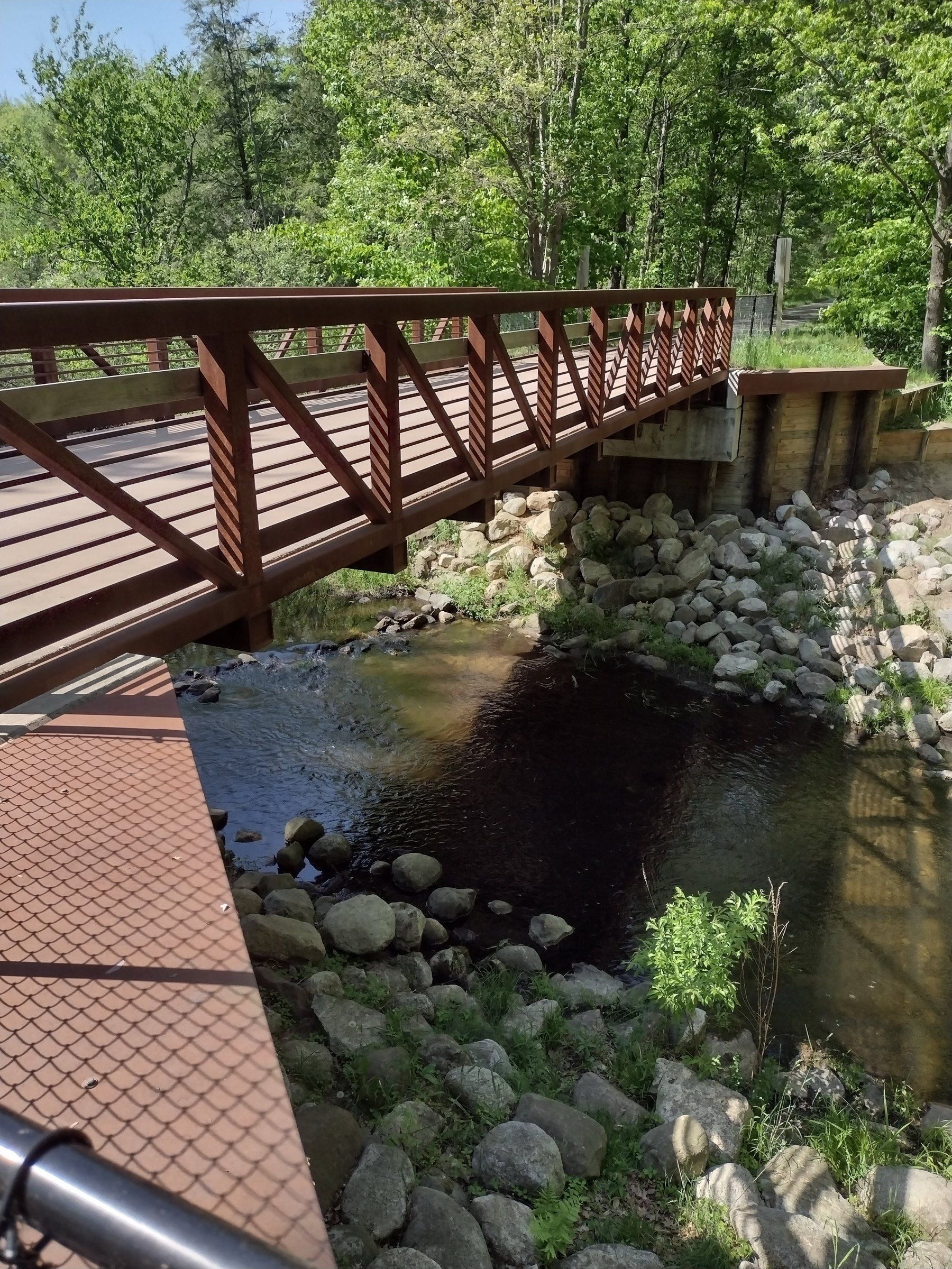
Trail
A 22-mile rail trail state park between Montague and Hart, through woods, orchards, farms and the village of New Era.
Ski area
Traverse City's own ski hill since 1952, with 16 runs, Nordic trails including a lighted loop and an FIS-certified course, and disc golf in summer.
Nature preserve
Michigan Audubon's 75-acre sanctuary on a bluff north of Manistee, with old arboretum trees, about two miles of trails and Lake Michigan frontage.
State park
The state park at the tip of the Leelanau Peninsula, with the Grand Traverse Lighthouse, a rustic campground and the Cathead Bay trails to a sandy beach.
Trail
A paved, flat, 17-mile trail between Traverse City and Suttons Bay through farms and woods, groomed in part for skiing and fat biking in winter.
Nature preserve
A 97-acre Filer Township park south of Manistee with dune and forest trails, a creek, Lake Michigan shoreline and a picnic area.
Attraction
More than half a million acres of public forest, run from Cadillac, with backpacking and ski trails, campgrounds and two National Scenic Rivers.
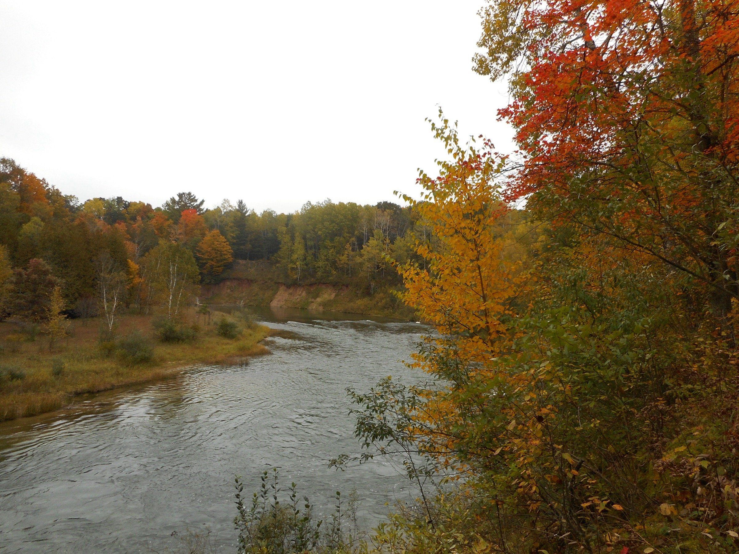
Trail
A backpacking loop in the Manistee National Forest: the Manistee River Trail and the North Country Trail, joined by a suspension bridge near Hodenpyl Dam.
Waterfront
A boardwalk along the Manistee River behind downtown, with benches, history markers and boats going by, open year-round.
Ski area
A small community nonprofit ski hill in East Bay Township, east of Traverse City, with snow tubing in winter and zipline tours and trails in the warmer months.
Trail
About 12 paved miles along Muskegon Lake from Pere Marquette Park to the Muskegon Lake Nature Preserve, with views of the channel and South Pier light.
Attraction
A year-round adventure park inside Muskegon State Park with a luge track, lighted cross-country ski trails and skating in winter, and a zip line in summer.
State park
Three miles of shoreline on Lake Michigan and Muskegon Lake, with forested dunes, two campgrounds, a CCC blockhouse and the Muskegon luge park.
Trail
A paved rail-trail of about six miles east from Spring Lake to Nunica, linked to the Lakeside Trail loop through Spring Lake and Ferrysburg.
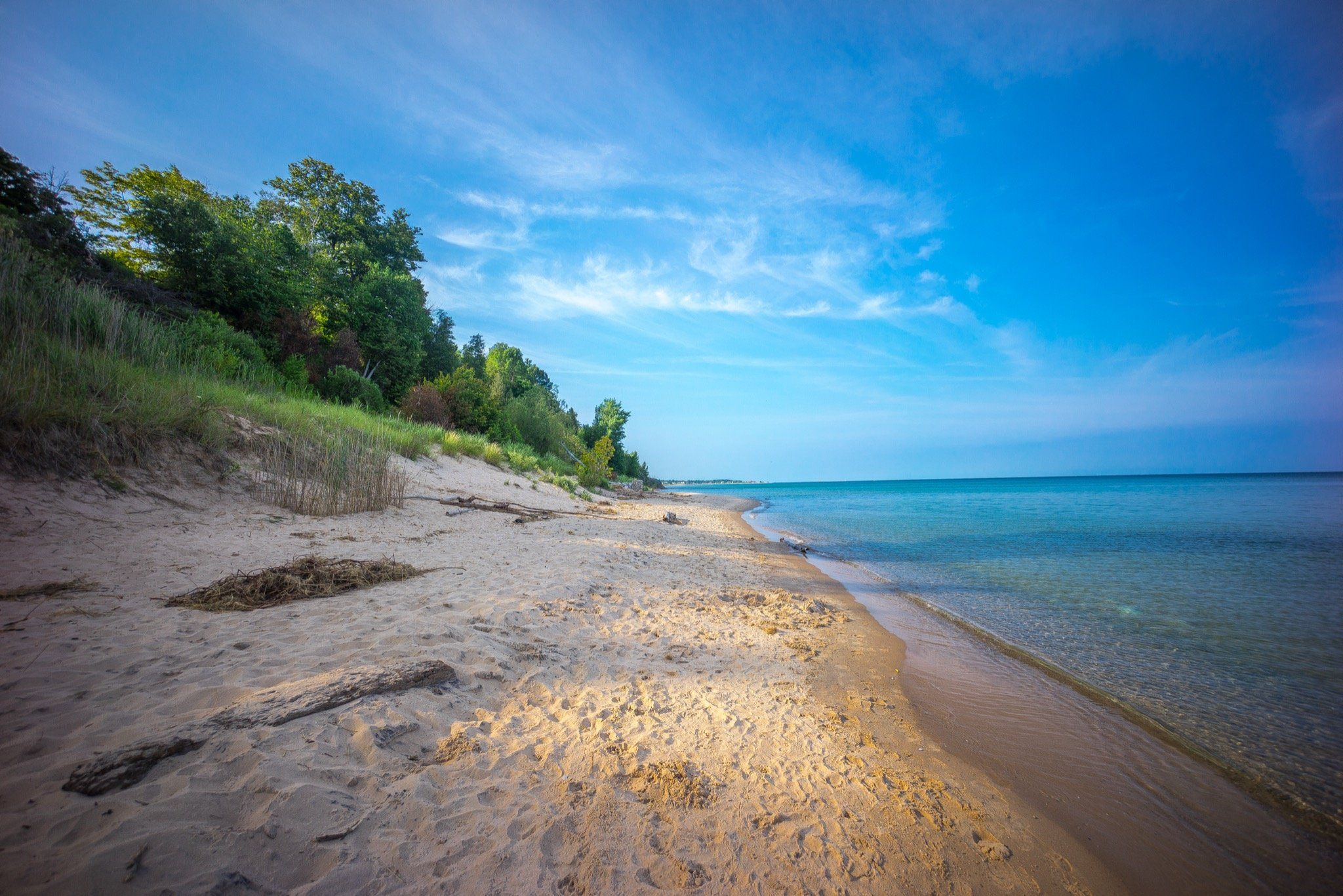
State park
A bluff-top park north of Manistee for Lake Michigan sunsets, forest trails and camping. Despite the name, you cannot reach the beach from the park.
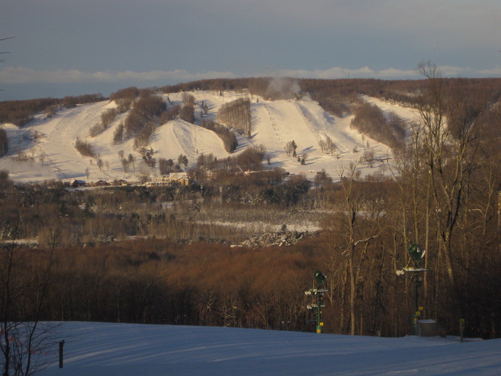
Ski area
A ski resort near Harbor Springs with 55 runs on 435 acres and 552 feet of vertical, plus Nordic trails, and a bike park, hiking and golf in summer.
Trail
Traverse City's big woods trail for cross-country skiing, with loops from 3K to 25K, snowshoe loops, and singletrack for mountain and fat bikes.
State park
Cadillac's state park between Lake Mitchell and Lake Cadillac, with a campground, the Clam Lake Canal and the start of the White Pine Trail.
State park
Boyne City's state park on Lake Charlevoix, with a swimming beach, a boat launch, three modern campgrounds and 6.5 miles of trails.
Hiking: places on the map
39 places on an OpenStreetMap map
Towns an independent source (such as the DNR, the National Park Service or Pure Michigan) singles out for this. Listed by town size, not ranked.
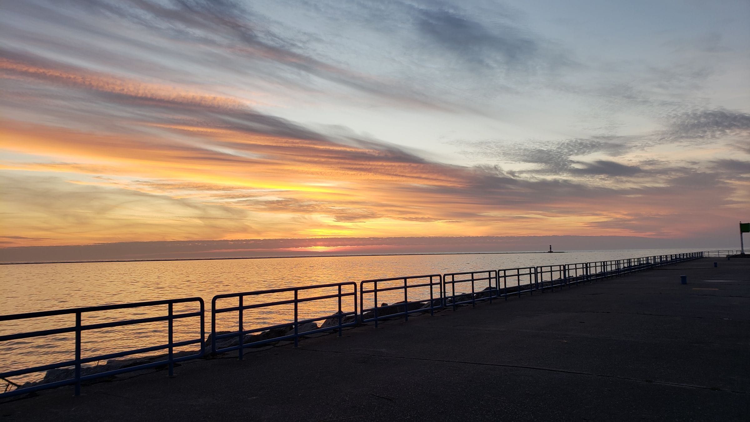
Ludington & Manistee
A Lake Michigan harbor town for beach and lighthouse trips, with the S.S. Badger car ferry and a big dune state park just north of town.
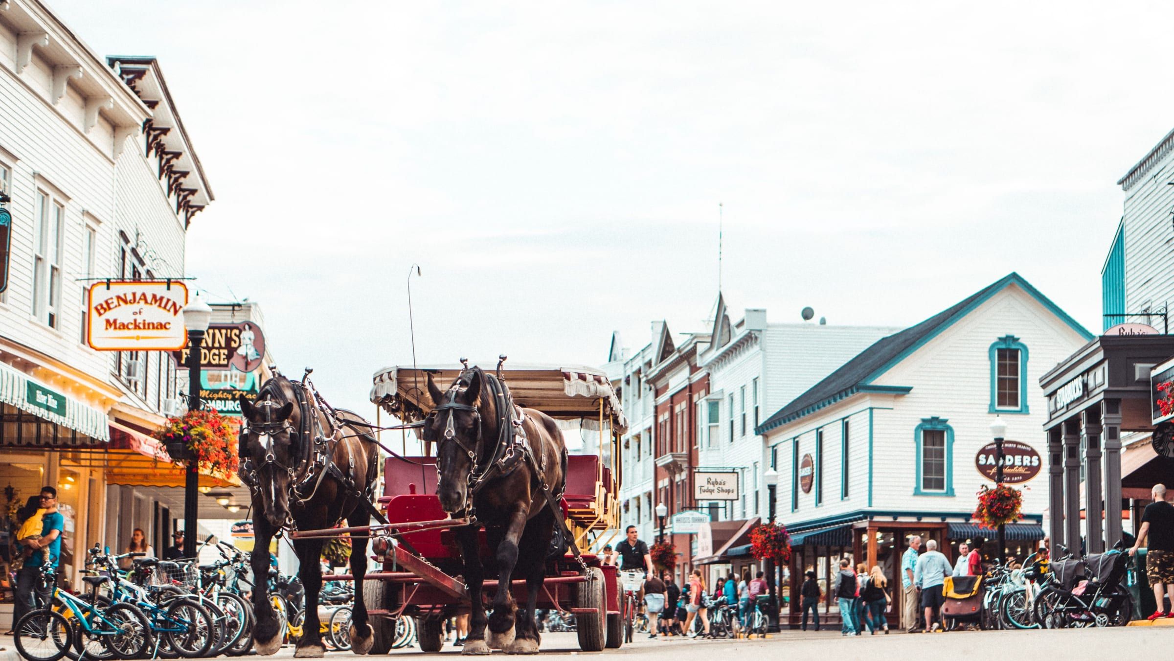
Mackinac & Straits
A car-free island in the Straits of Mackinac. Bike or walk from a busy harbor town to an old fort and a state park that covers most of the island.
Charlevoix & Petoskey
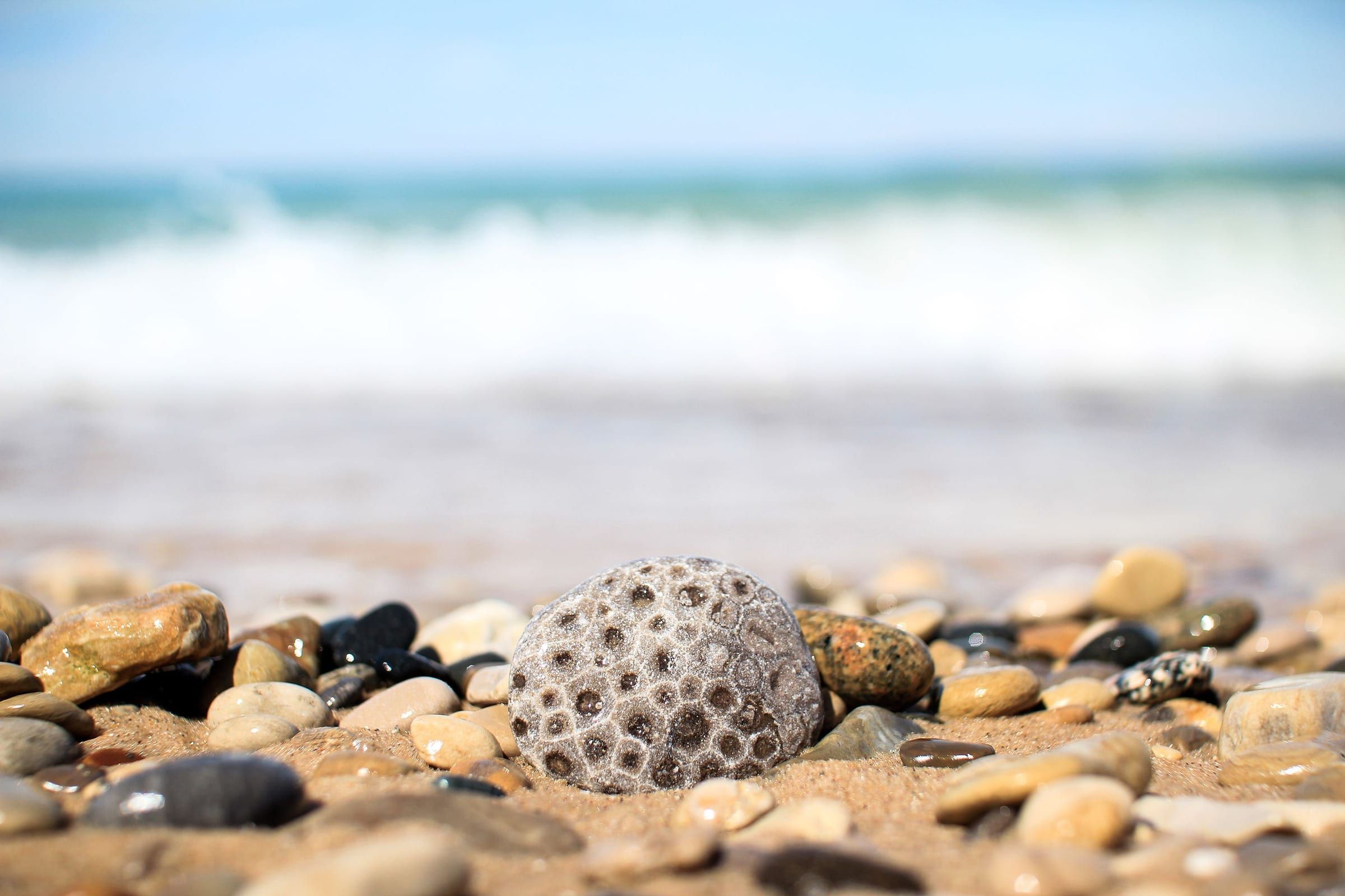
A walkable bay town for stone hunting, shopping the Gaslight District and riding the Little Traverse Wheelway, with historic Bay View next door.
Ludington & Manistee · Small town
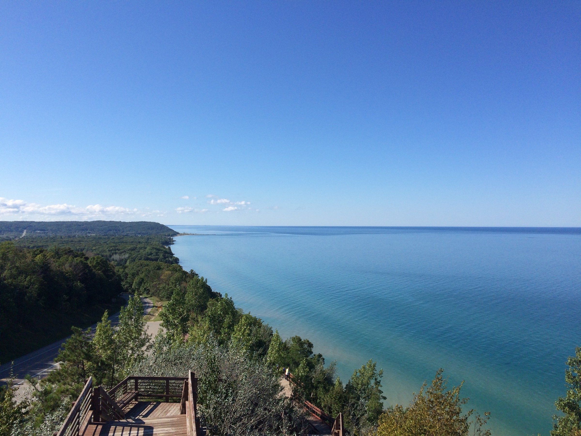
A quiet Lake Michigan stop on M-22: a public beach at the end of Lake Street, a marina on Arcadia Lake, and Arcadia Dunes trails just north.
Benzie & Sleeping Bear · Small town
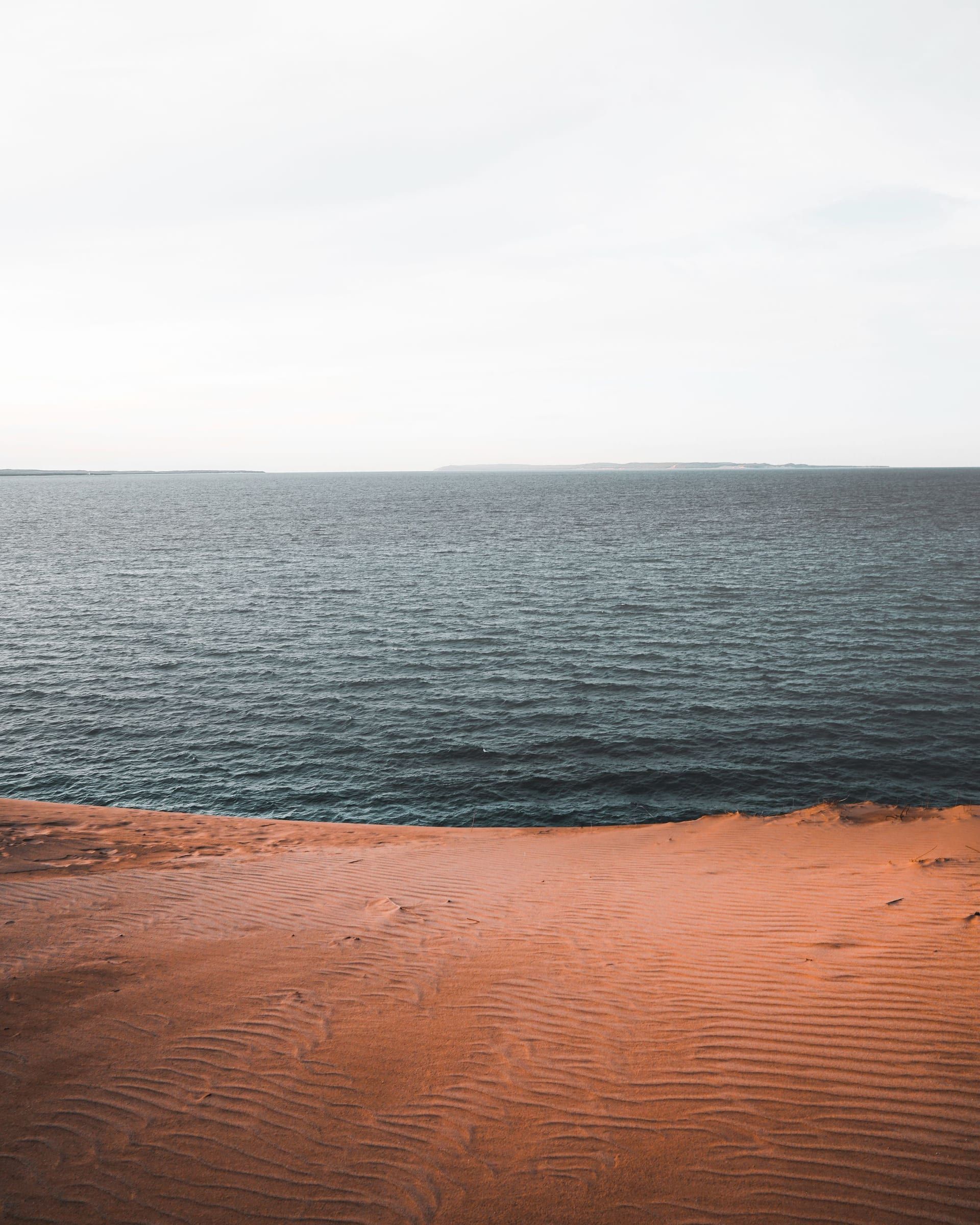
Your base for northern Sleeping Bear Dunes: a small town between Lake Michigan and Glen Lake, about 4 miles from the Dune Climb by trail.
River · Charlevoix & Petoskey
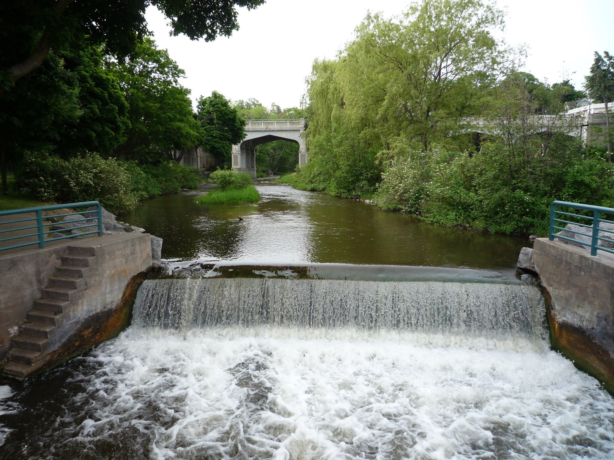
A short, fast river through Petoskey, with a quarter-mile whitewater course, a canoe livery for easy family floats and brook trout above the dam.
Lake · Grand Traverse & Inland Lakes
Traverse City's in-town lake, open to all boating but built for a kayak, a cast or a walk around the 4-mile Boardman Lake Loop just south of downtown.
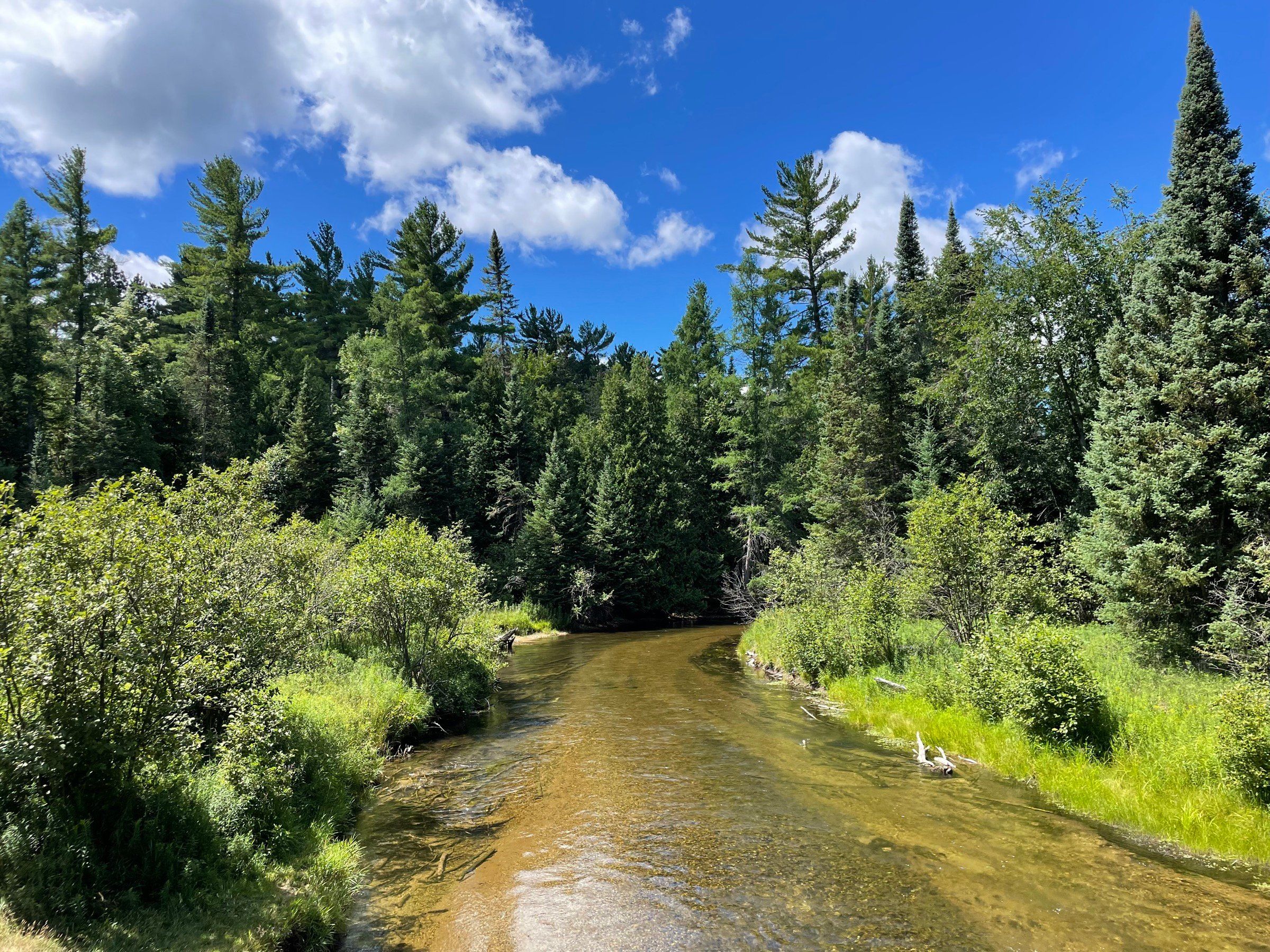
River · Grand Traverse & Inland Lakes
Traverse City's trout river, with three old dams now removed, paddling on the middle river and steelhead from winter into spring below the last dam in town.
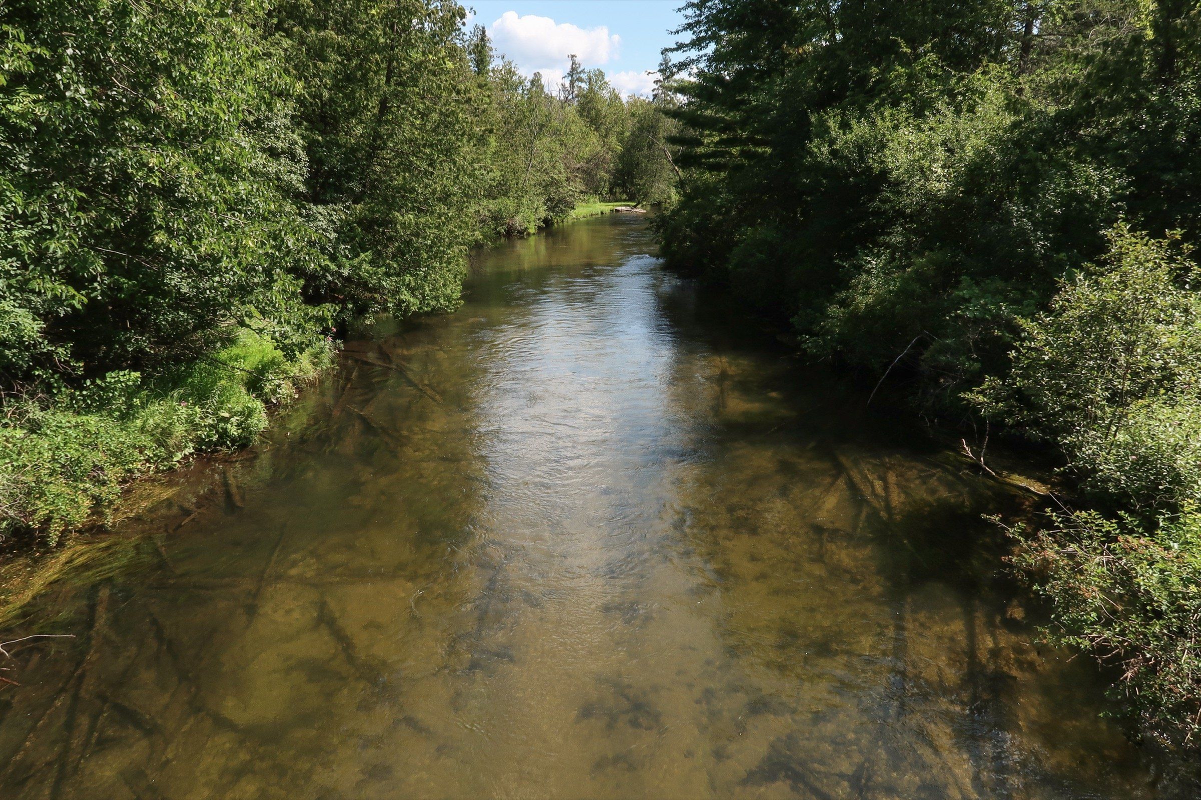
River · Charlevoix & Petoskey
A cold, clear, motor-free trout river for long floats through the Jordan River Valley, with DNR canoe launches, an East Jordan outfitter and winter steelhead.
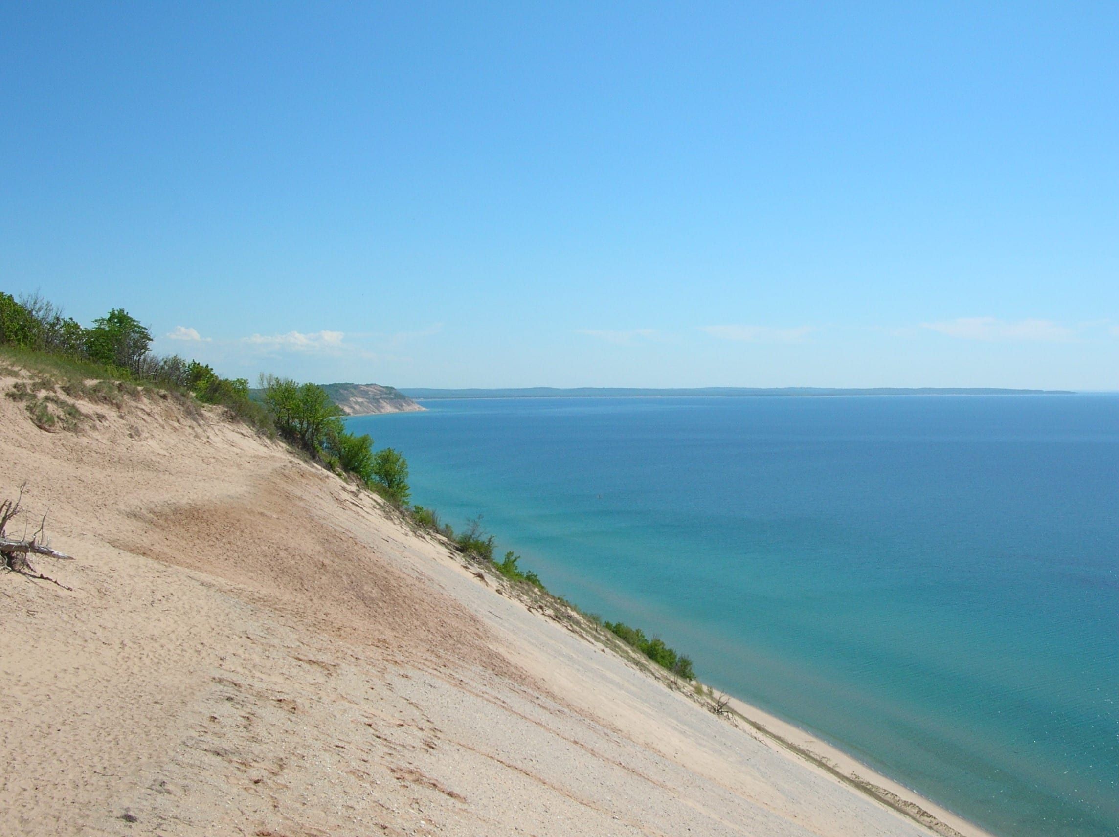
Great Lake
The big lake that shapes this coast: state park and town beaches from Grand Haven to Charlevoix, harbor towns with city marinas, and pier lights to walk out to.
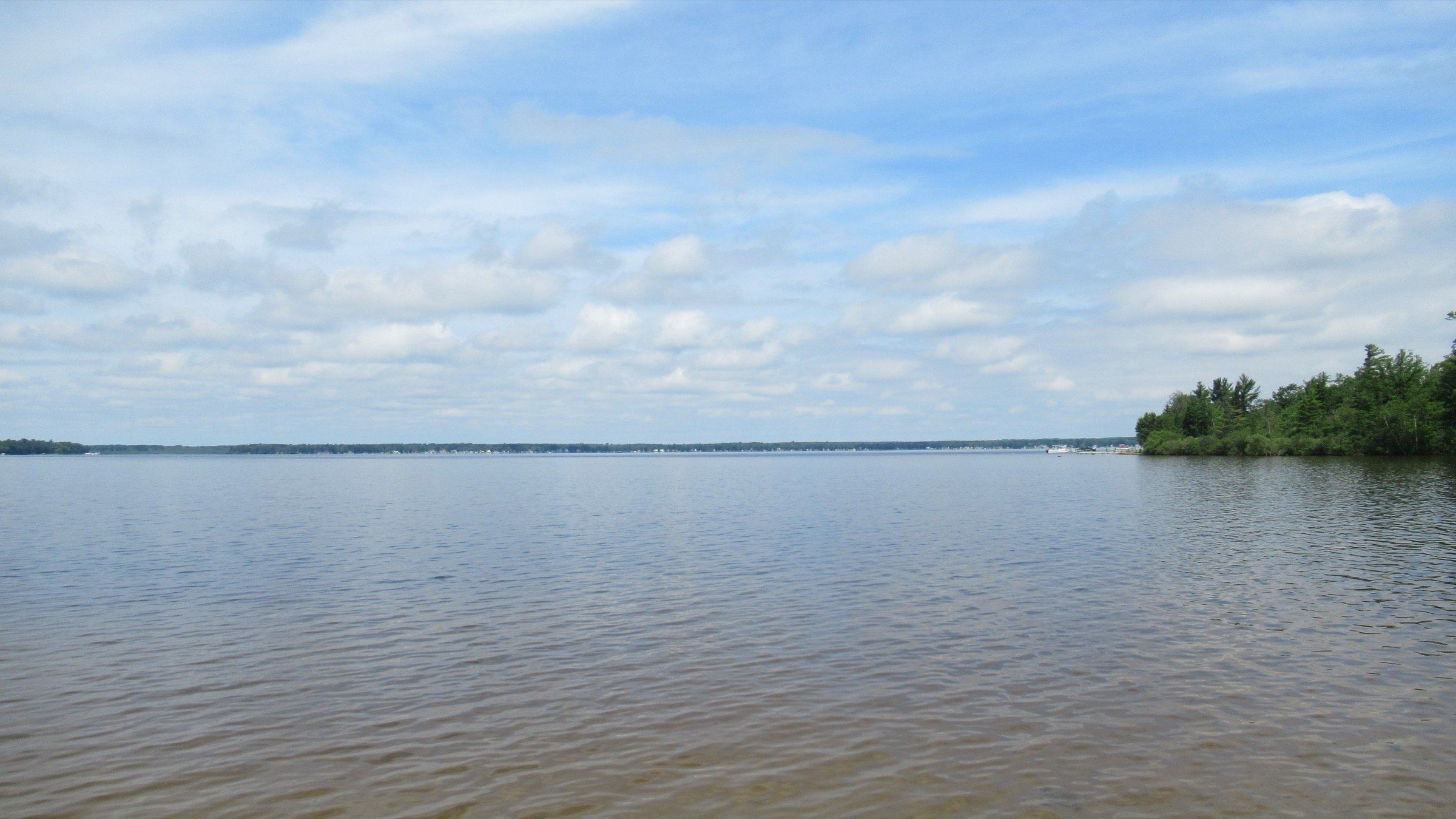
Lake · Grand Traverse & Inland Lakes
A broad, shallow, all-sports lake west of Cadillac: 2,496 acres, a state park beach and campground, a canal to paddle and crappie and bluegill through the ice.
River · Ludington & Manistee
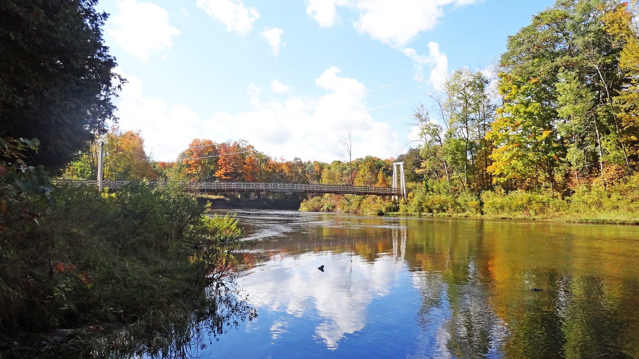
A big steelhead and salmon river below Tippy Dam, with liveries for summer canoe trips, winter steelhead, and 26 miles of National Recreational River.
River · Ludington & Manistee
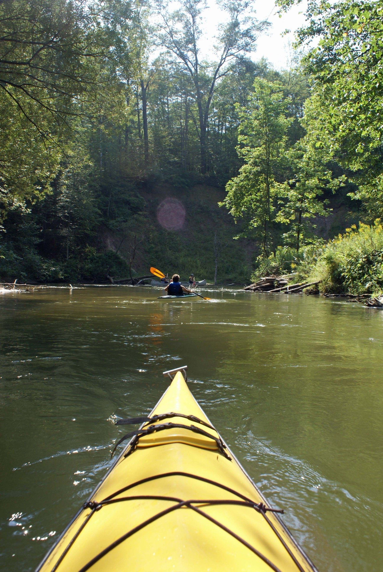
A narrow, winding river near Cadillac for canoe, kayak and raft trips from Wellston liveries, blue ribbon trout fishing and year-round access.
Lake · Charlevoix & Petoskey
A small, shallow all-sports lake behind the Petoskey State Park dunes, with a small DNR launch and a nature preserve with easy trails and a boardwalk.
May we count your visit with Google Analytics? It helps us see which guides are useful. Nothing is collected unless you choose Allow. Details
Your browser sends Global Privacy Control, so analytics stays off and we will not ask again.