
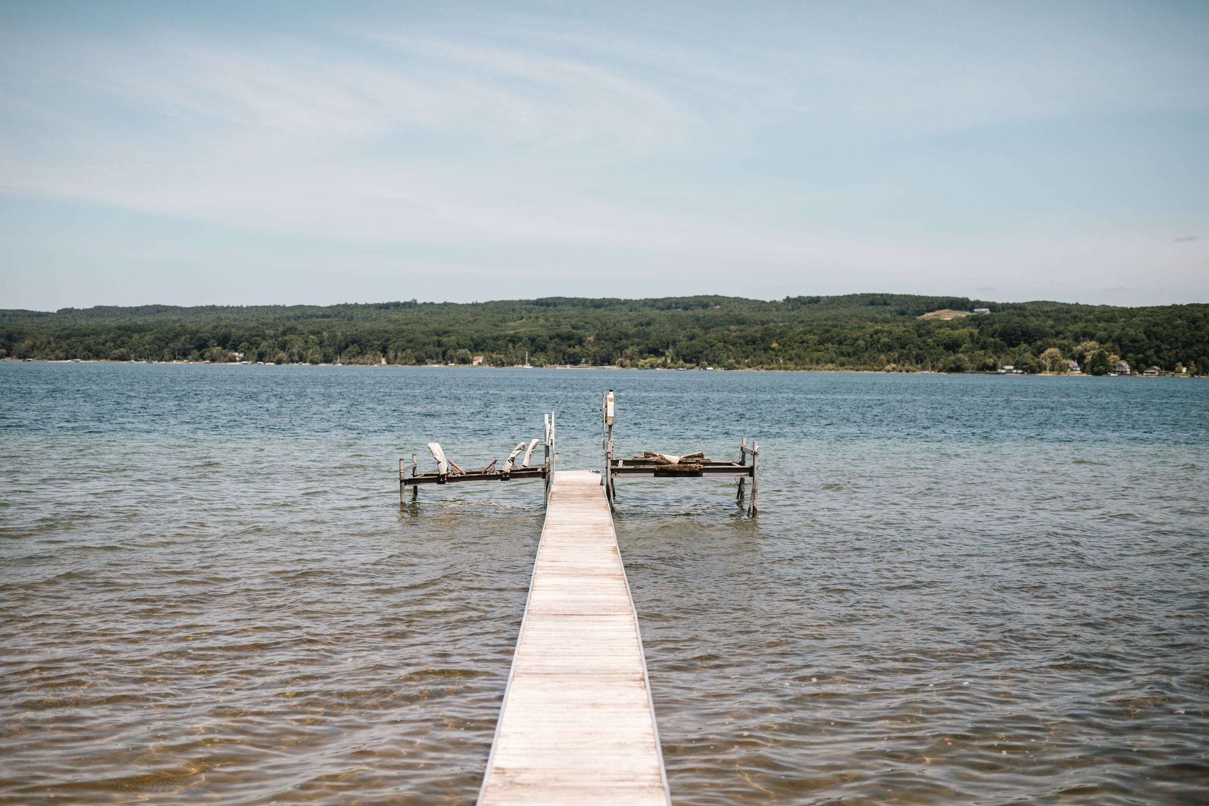
Grand Traverse & Inland Lakes
Cadillac
For lake and trail people in every season: two lakes, a state park beach between them, the end of the White Pine Trail and a big winter trail network.
About 1 miles away (straight line)
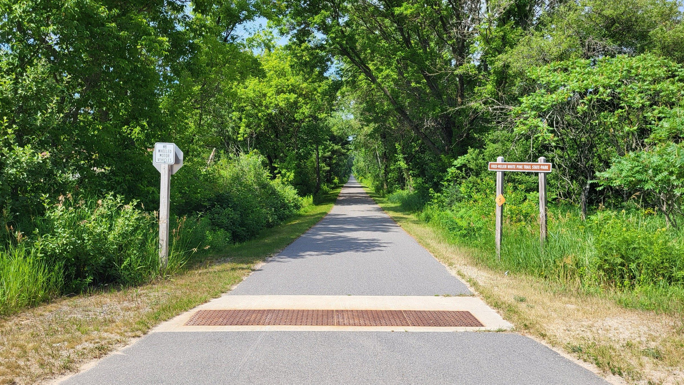
Trail · Grand Traverse & Inland Lakes
A 92-mile paved rail trail whose northern end is in Cadillac, for long rides south through towns, farmland and woods toward Grand Rapids.
Photo: Notorious4life, Wikimedia Commons (CC0 1.0)
If you are based in Cadillac and want a long, traffic-free ride, the White Pine Trail starts right in town. The full trail is 92 paved miles on the old Grand Rapids and Indiana Railroad bed, linking Cadillac to Comstock Park near Grand Rapids, and the DNR calls it Michigan’s second-longest rail trail.
You do not need to ride it all. From the Cadillac trailhead on Chapin Street, head south as far as you like and turn around. If you park at a state-designated trailhead, you need a Recreation Passport on your car (see licenses and passes). The trail passes through 15 towns and cities along its full length, with farmland, picnic areas and overlooks between them.
The whole trail is now paved. The DNR also lists it for hiking and snowmobiling. Check its page for closures before a long day, since construction detours come and go.
Map of Fred Meijer White Pine Trail
4 places on an OpenStreetMap map
Grand Traverse & Inland Lakes
For lake and trail people in every season: two lakes, a state park beach between them, the end of the White Pine Trail and a big winter trail network.
About 1 miles away (straight line)
Straight-line distances, not driving distances.
State park
Cadillac's state park between Lake Mitchell and Lake Cadillac, with a campground, the Clam Lake Canal and the start of the White Pine Trail.
About 2 miles away (straight line)
Ski area
A ski resort west of Cadillac with 27 runs and 5 lifts across three peaks, plus about 10 miles of cross-country trails that are free to use.
About 15 miles away (straight line)
Trail
A backpacking loop in the Manistee National Forest: the Manistee River Trail and the North Country Trail, joined by a suspension bridge near Hodenpyl Dam.
About 20 miles away (straight line)
May we count your visit with Google Analytics? It helps us see which guides are useful. Nothing is collected unless you choose Allow. Details
Your browser sends Global Privacy Control, so analytics stays off and we will not ask again.