Mackinac & Straits
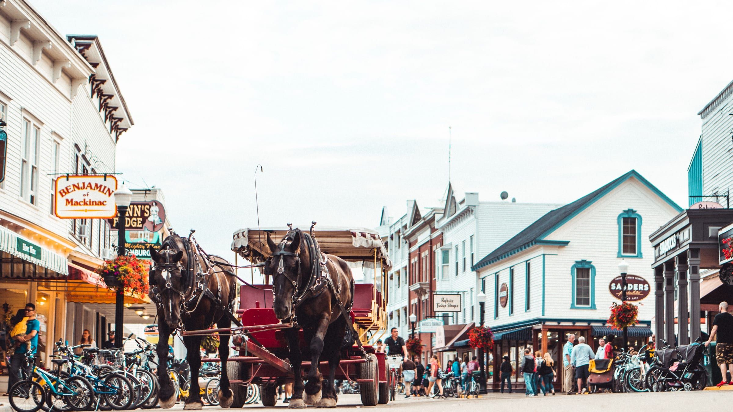
Mackinac Island
A car-free island in the Straits of Mackinac. Bike or walk from a busy harbor town to an old fort and a state park that covers most of the island.
Region 6 of 6
The top of the Lower Peninsula, the bridge and the island.
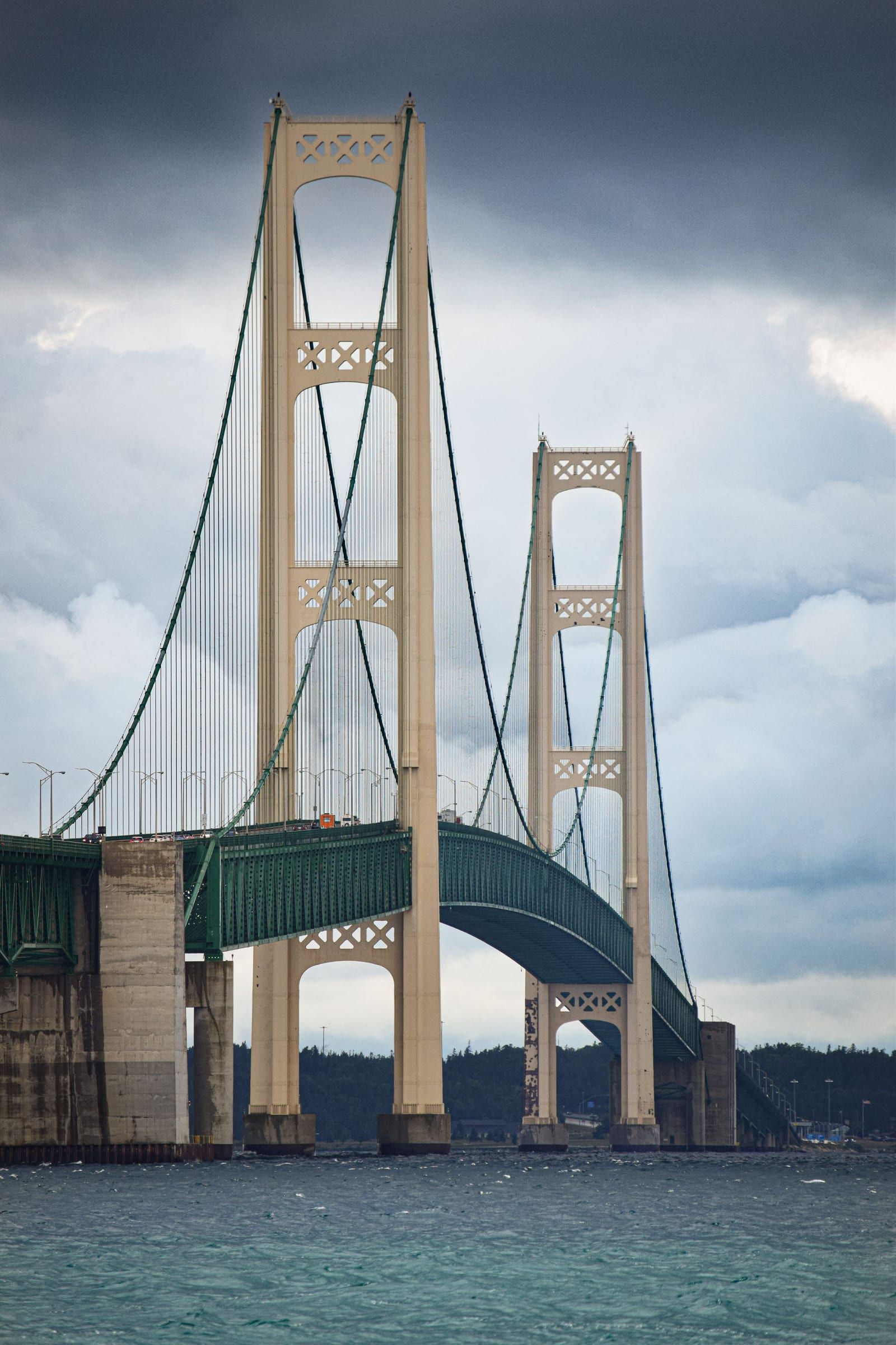
At the northern tip of the Lower Peninsula, Mackinaw City looks out over the Straits of Mackinac, where Lake Michigan and Lake Huron meet. Mackinac Island sits in the straits a ferry ride away.
St. Ignace, across the bridge in the Upper Peninsula, is a nearby gateway but outside the area this guide covers for now.
This is an editorial grouping for trip planning, not a county or tourism-bureau boundary.
Map of Mackinac & the Straits
10 places on an OpenStreetMap map
Mackinac & Straits
A car-free island in the Straits of Mackinac. Bike or walk from a busy harbor town to an old fort and a state park that covers most of the island.
Mackinac & Straits
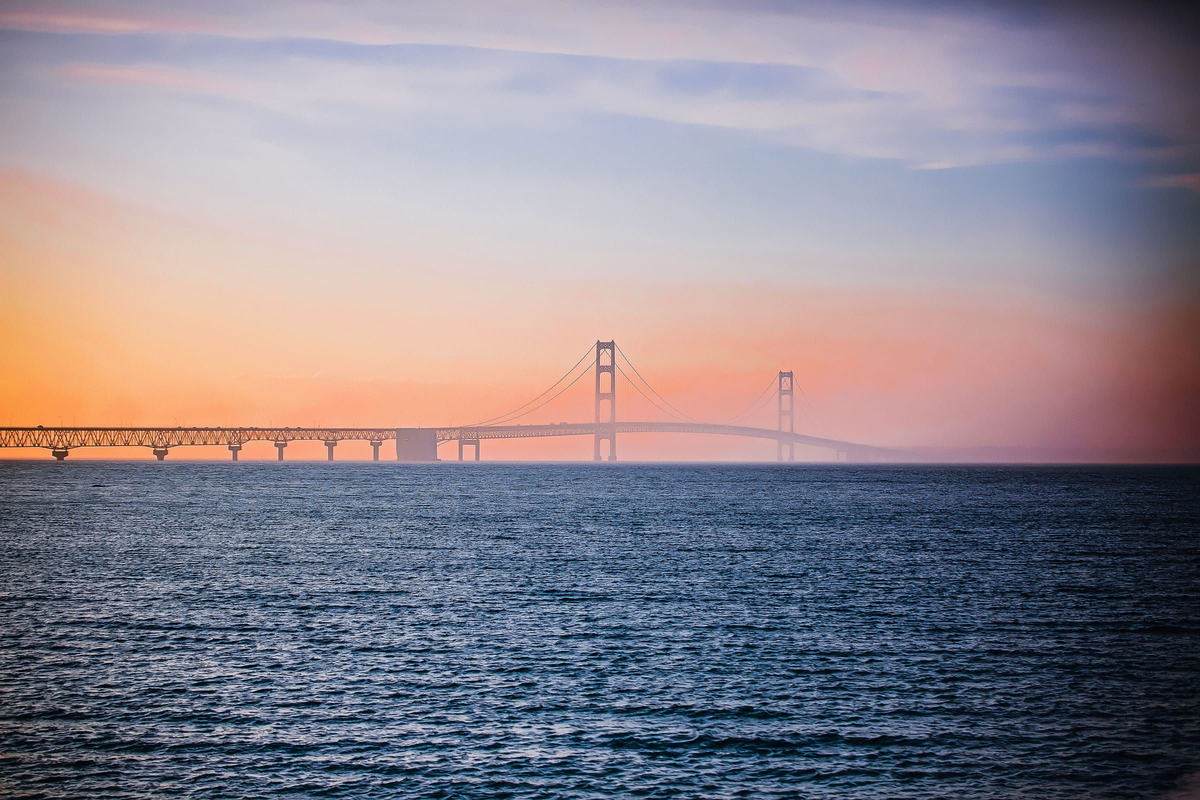
The base for the Straits, beside the Mackinac Bridge at the tip of the Lower Peninsula, with a reconstructed colonial fort and ferries to Mackinac Island.
The inland lakes, bays and rivers that bring many visitors here in summer.
Bay · Mackinac & Straits
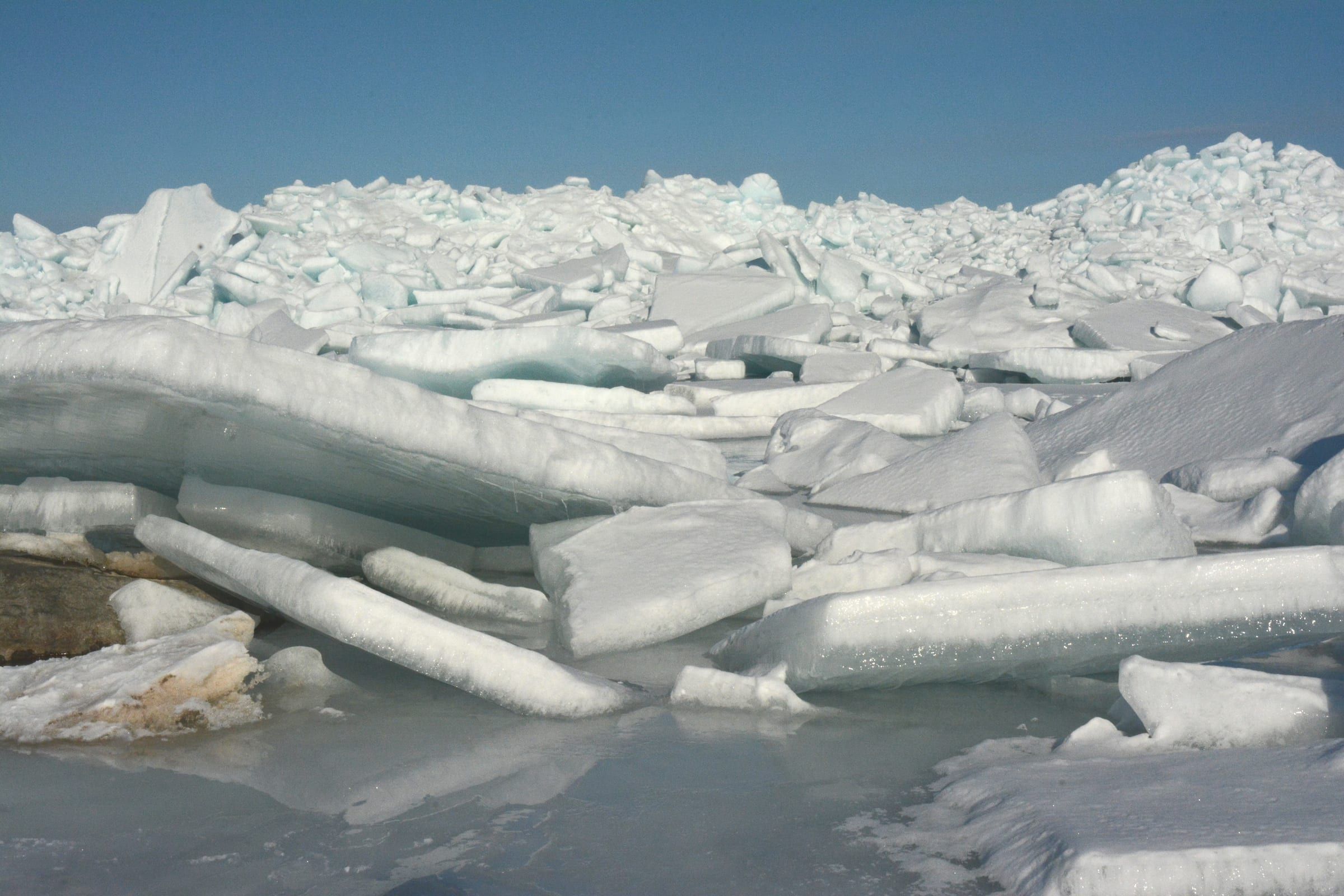
The strait between Michigan's peninsulas, with harbors at Mackinaw City and Mackinac Island, the bridge, island ferries and protected shipwrecks.
Lake · Mackinac & Straits
A big, shallow all-sports lake at Carp Lake village south of Mackinaw City, with tea-colored water, large pike and a DNR launch with a boat wash.
Attraction
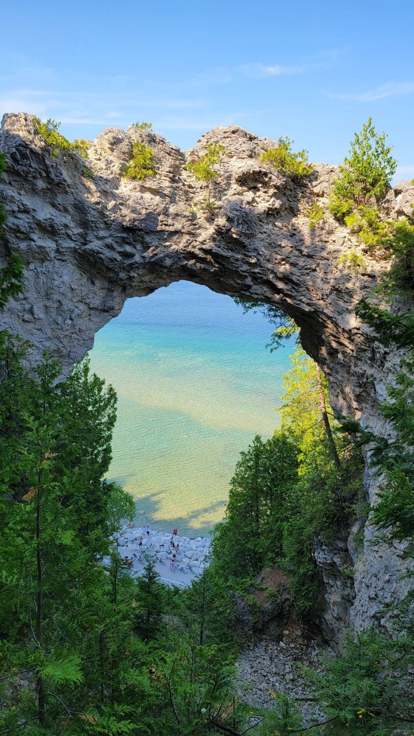
A natural limestone arch on Mackinac Island's east side, 146 feet above the water. You can see it from the shore road or from the bluff above.
Historic site
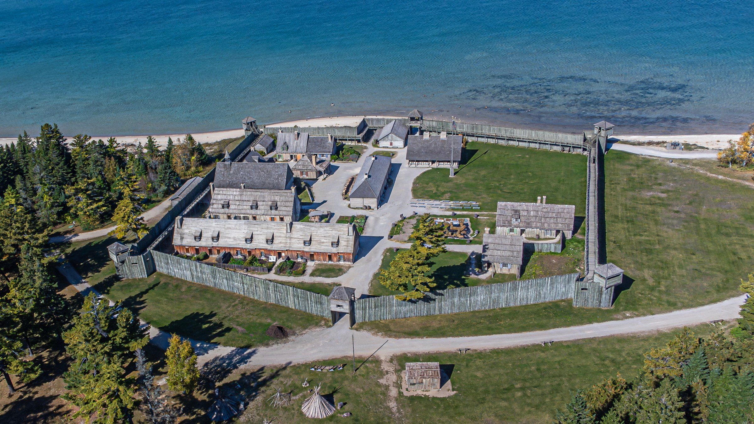
Mackinaw City's 18th-century fort and fur trading village, rebuilt from historic maps and one of the longest-running archaeological digs in the country.
Historic site
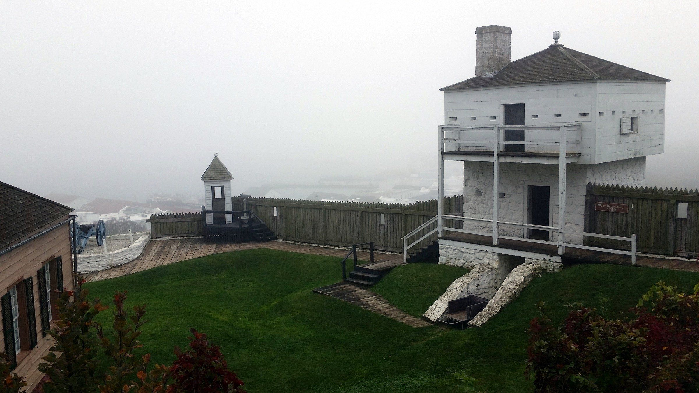
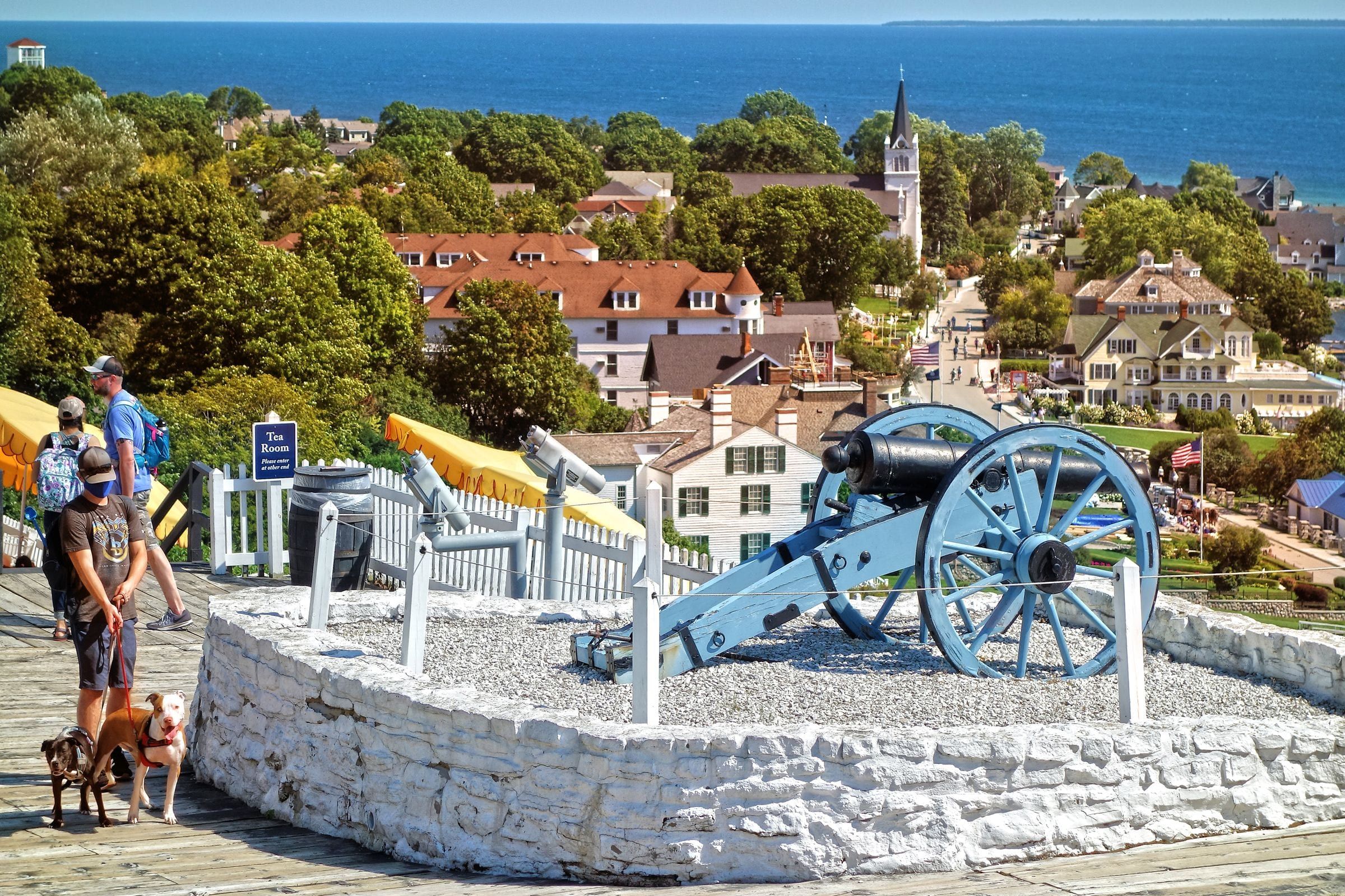
The fort on the bluff above Mackinac Island's harbor, founded by the British in 1780 and now a living history museum with fourteen restored buildings.
Bridge
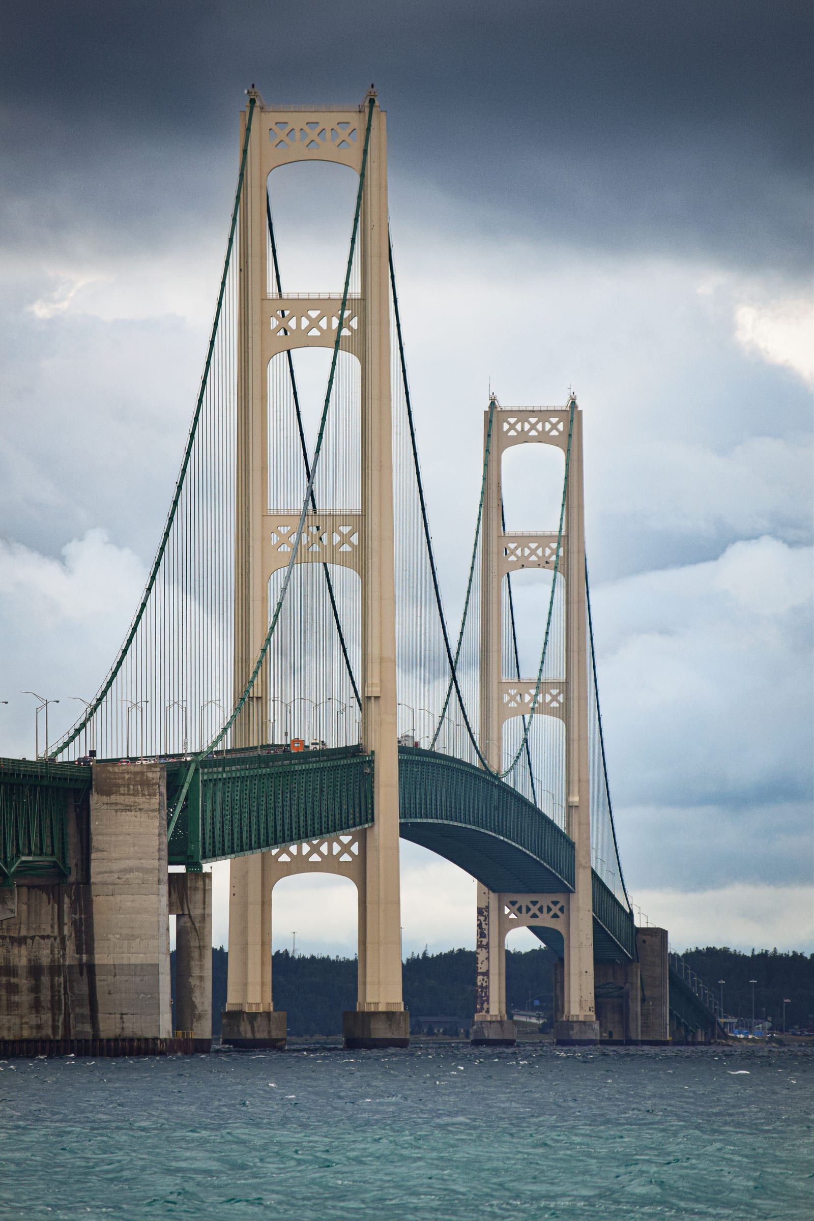
The five-mile suspension bridge that carries I-75 across the Straits of Mackinac between Mackinaw City and St. Ignace, open since November 1, 1957.
State park
Michigan's first state park covers more than 80 percent of Mackinac Island: forest, limestone formations, historic sites and 70-plus miles of roads and trails.
Lighthouse
The 1892 castle-style lighthouse just east of the Mackinac Bridge, with restored keepers' rooms, a tower you can climb and a shipwreck museum.
Saturday, December 12, 2026, 4:00 pm to 7:00 pm
Mackinaw City · Mackinac & Straits
Saturday, May 8, 2027, 9:00 am to 12:00 pm
Mackinac Island · Mackinac & Straits
June 4 to 13, 2027
Mackinac Island · Mackinac & Straits
Friday, July 16, 2027
Mackinac Island · Mackinac & Straits
October 1 to 2, 2027
Mackinac Island · Mackinac & Straits
A day in Mackinaw City for the bridge and Colonial Michilimackinac, then a day on car-free Mackinac Island by bike and on foot.
May we count your visit with Google Analytics? It helps us see which guides are useful. Nothing is collected unless you choose Allow. Details
Your browser sends Global Privacy Control, so analytics stays off and we will not ask again.