
Mackinac & Straits
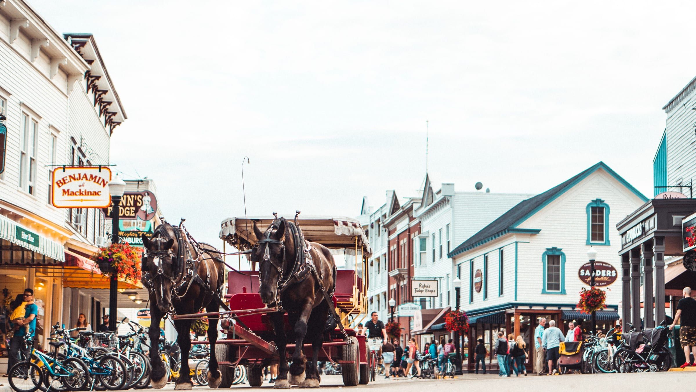
Mackinac Island
A car-free island in the Straits of Mackinac. Bike or walk from a busy harbor town to an old fort and a state park that covers most of the island.
Under a mile away (straight line)
Historic site · Mackinac & Straits
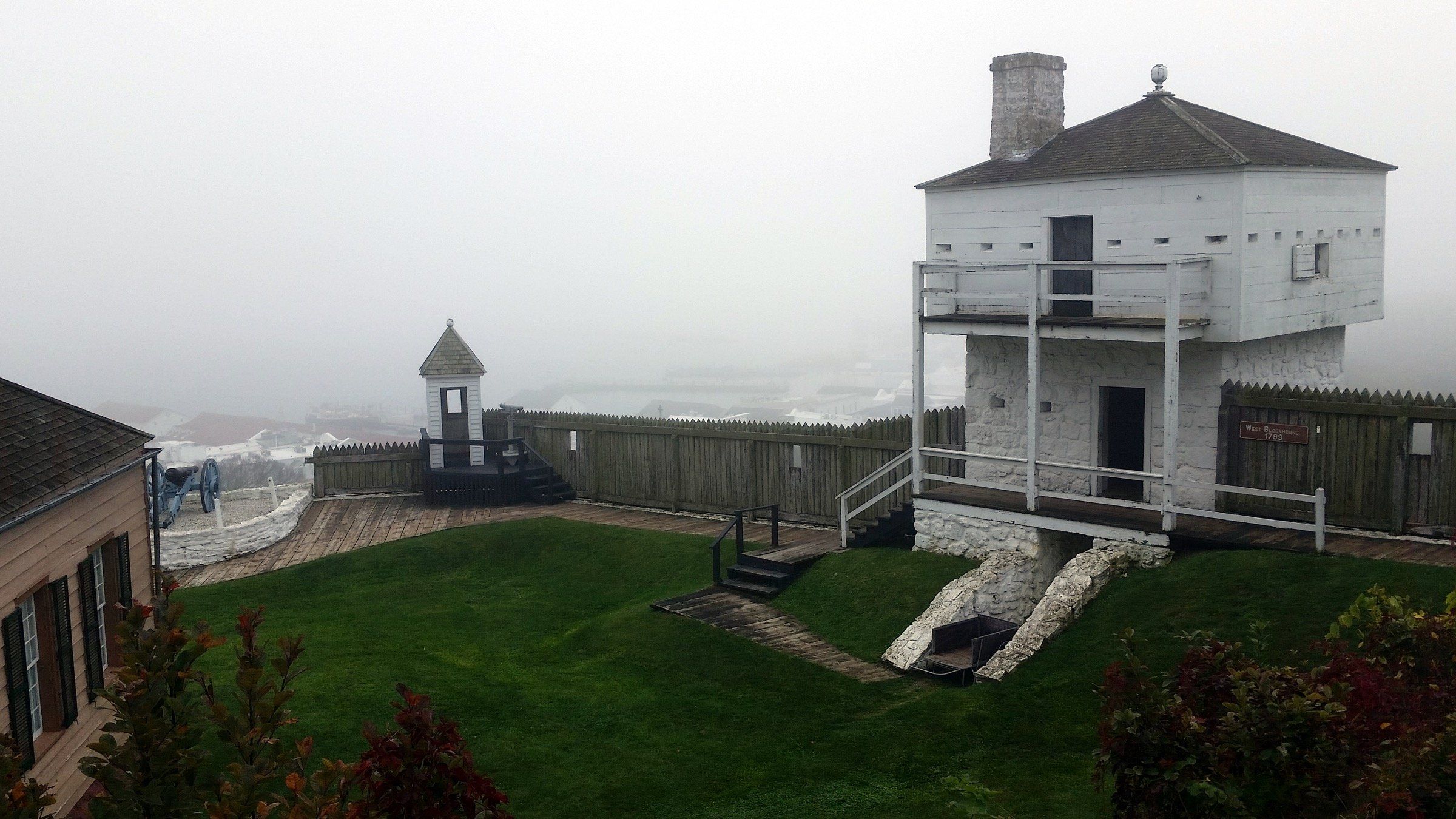
The fort on the bluff above Mackinac Island's harbor, founded by the British in 1780 and now a living history museum with fourteen restored buildings.
Fort Mackinac is for anyone who wants Mackinac Island’s military past up close. It sits on the bluff above the city and Haldimand Bay, inside Mackinac Island State Park, all fourteen of its buildings are restored and open, and costumed interpreters portray the U.S. Army of the 1880s. You need a ticket, which also covers several Historic Downtown Mackinac sites, so plan the fort and downtown as one day.
Catch a tour or a firing demonstration, when interpreters fire rifles and the fort’s cannon. Then work through the buildings, furnished as period rooms or as exhibits on soldier life, military medicine and the War of 1812.
Some of what you see is original. The stone ramparts, the south sally port and the Officers’ Stone Quarters date to the first construction, and Mackinac State Historic Parks calls the Stone Quarters the oldest building in Michigan.
The history moves fast. The British founded the fort in 1780, during the American Revolution, after deciding that Fort Michilimackinac on the mainland was too exposed to attack. American troops arrived in 1796. In July 1812 the British captured the fort in the first land engagement of the War of 1812 in the United States, and an American attempt to retake it in 1814 failed. The island returned to the United States after the war, and the fort stayed an Army post until 1895. It also served as headquarters for Mackinac National Park.
Map of Fort Mackinac
4 places on an OpenStreetMap map
Mackinac & Straits
A car-free island in the Straits of Mackinac. Bike or walk from a busy harbor town to an old fort and a state park that covers most of the island.
Under a mile away (straight line)
Straight-line distances, not driving distances.
Attraction
A natural limestone arch on Mackinac Island's east side, 146 feet above the water. You can see it from the shore road or from the bluff above.
Under a mile away (straight line)
State park
Michigan's first state park covers more than 80 percent of Mackinac Island: forest, limestone formations, historic sites and 70-plus miles of roads and trails.
About 1 miles away (straight line)
Bridge
The five-mile suspension bridge that carries I-75 across the Straits of Mackinac between Mackinaw City and St. Ignace, open since November 1, 1957.
About 6 miles away (straight line)
May we count your visit with Google Analytics? It helps us see which guides are useful. Nothing is collected unless you choose Allow. Details
Your browser sends Global Privacy Control, so analytics stays off and we will not ask again.