Mackinac & Straits
Mackinaw City
The base for the Straits, beside the Mackinac Bridge at the tip of the Lower Peninsula, with a reconstructed colonial fort and ferries to Mackinac Island.
About 2 miles away (straight line)
Bridge · Mackinac & Straits
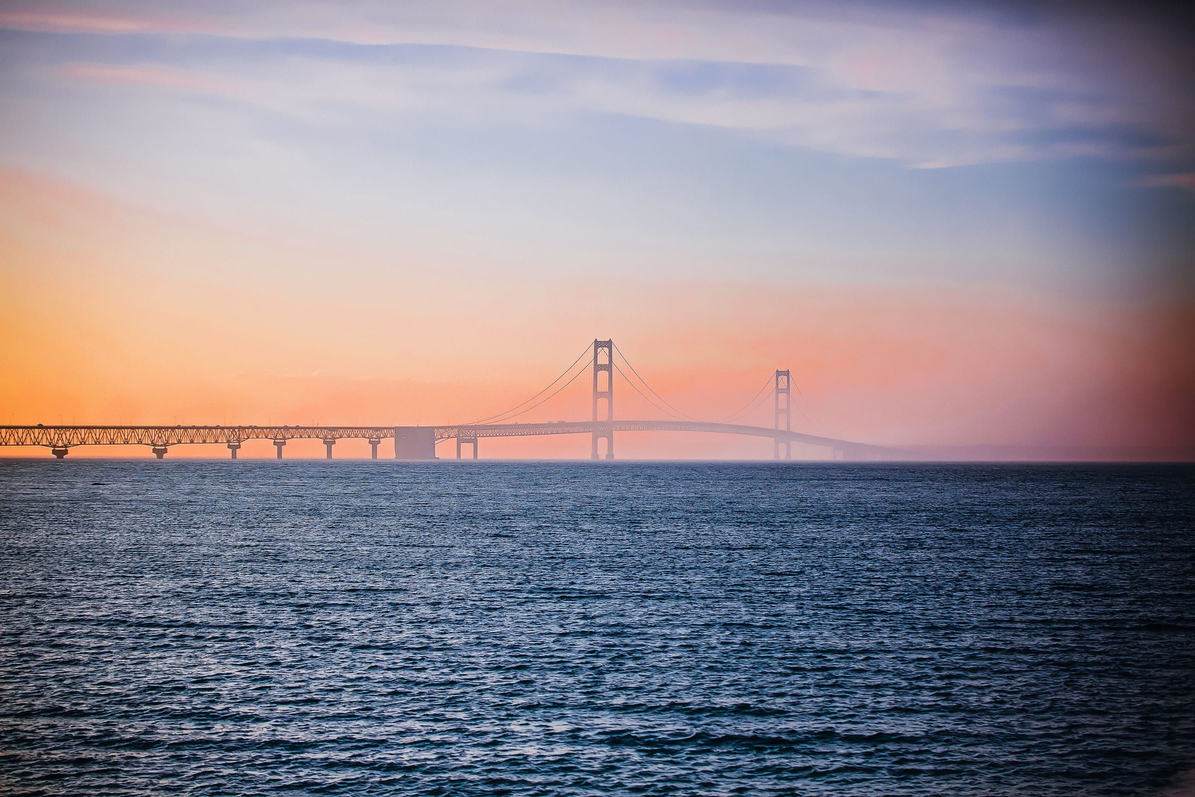
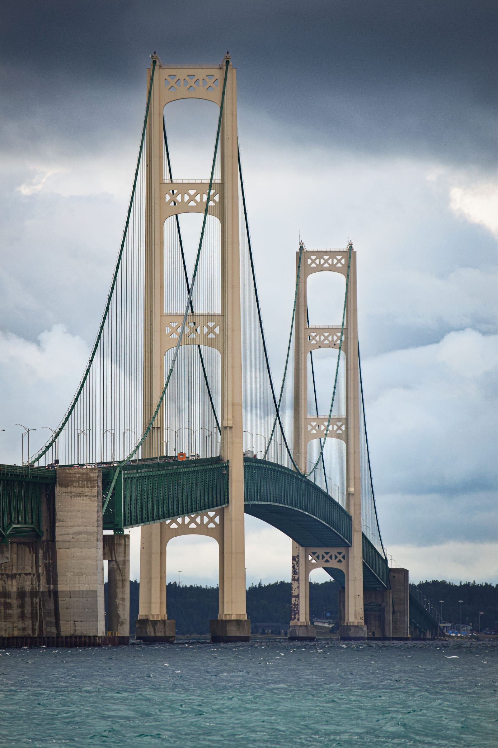
The five-mile suspension bridge that carries I-75 across the Straits of Mackinac between Mackinaw City and St. Ignace, open since November 1, 1957.
The Mackinac Bridge is how you cross the Straits of Mackinac between Michigan’s Lower and Upper peninsulas, and once a year you can walk it. You drive it on I-75, from Mackinaw City at the south end to St. Ignace at the north end, and pay a toll to cross. If you are towing or driving a camper, check conditions first: in high winds the Bridge Authority restricts or escorts high-profile vehicles.
For a view from land, go to Michilimackinac State Park in Mackinaw City, at the bridge’s southern base. The bridge passes directly over the park.
To walk it, come for the Annual Bridge Walk, when the bridge closes to public traffic for a morning. In 2026 it was held on Monday, September 7, Labor Day.
The numbers: a total length of 26,372 feet, about five miles, with main towers that rise 552 feet above the water. The Mackinac Bridge Authority describes it as the longest suspension bridge in the Western Hemisphere. Engineer David B. Steinman designed it.
It was a long time coming. People proposed a crossing here as early as the 1880s, and the state ran car ferries across the Straits starting in 1923. After decades of studies and failed financing attempts, bonds finally sold in late 1953. Construction began with ceremonies in St. Ignace and Mackinaw City in May 1954, and the bridge opened to traffic on schedule on November 1, 1957.
Map of Mackinac Bridge
4 places on an OpenStreetMap map
Mackinac & Straits
The base for the Straits, beside the Mackinac Bridge at the tip of the Lower Peninsula, with a reconstructed colonial fort and ferries to Mackinac Island.
About 2 miles away (straight line)
Straight-line distances, not driving distances.
Lighthouse
The 1892 castle-style lighthouse just east of the Mackinac Bridge, with restored keepers' rooms, a tower you can climb and a shipwreck museum.
About 2 miles away (straight line)
Historic site
Mackinaw City's 18th-century fort and fur trading village, rebuilt from historic maps and one of the longest-running archaeological digs in the country.
About 2 miles away (straight line)
Historic site
The fort on the bluff above Mackinac Island's harbor, founded by the British in 1780 and now a living history museum with fourteen restored buildings.
About 6 miles away (straight line)
May we count your visit with Google Analytics? It helps us see which guides are useful. Nothing is collected unless you choose Allow. Details
Your browser sends Global Privacy Control, so analytics stays off and we will not ask again.