Lake · Benzie & Sleeping Bear
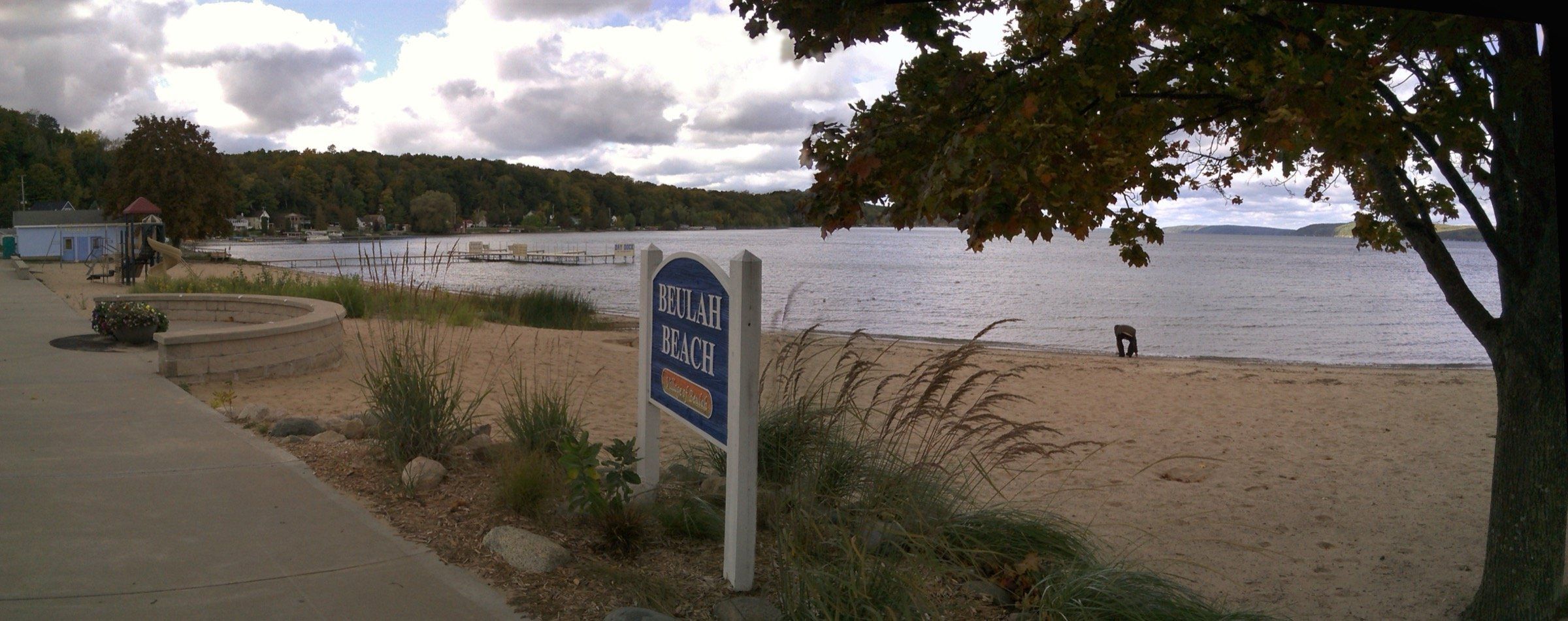
Crystal Lake
An all-sports lake: 9,854 acres, 165 feet deep and very clear. Swim at the sandy Beulah beach, fuel up at the marina, fish for trout and perch.
- All-sports
- Swim beach
- Public launch
- Rentals
Boating
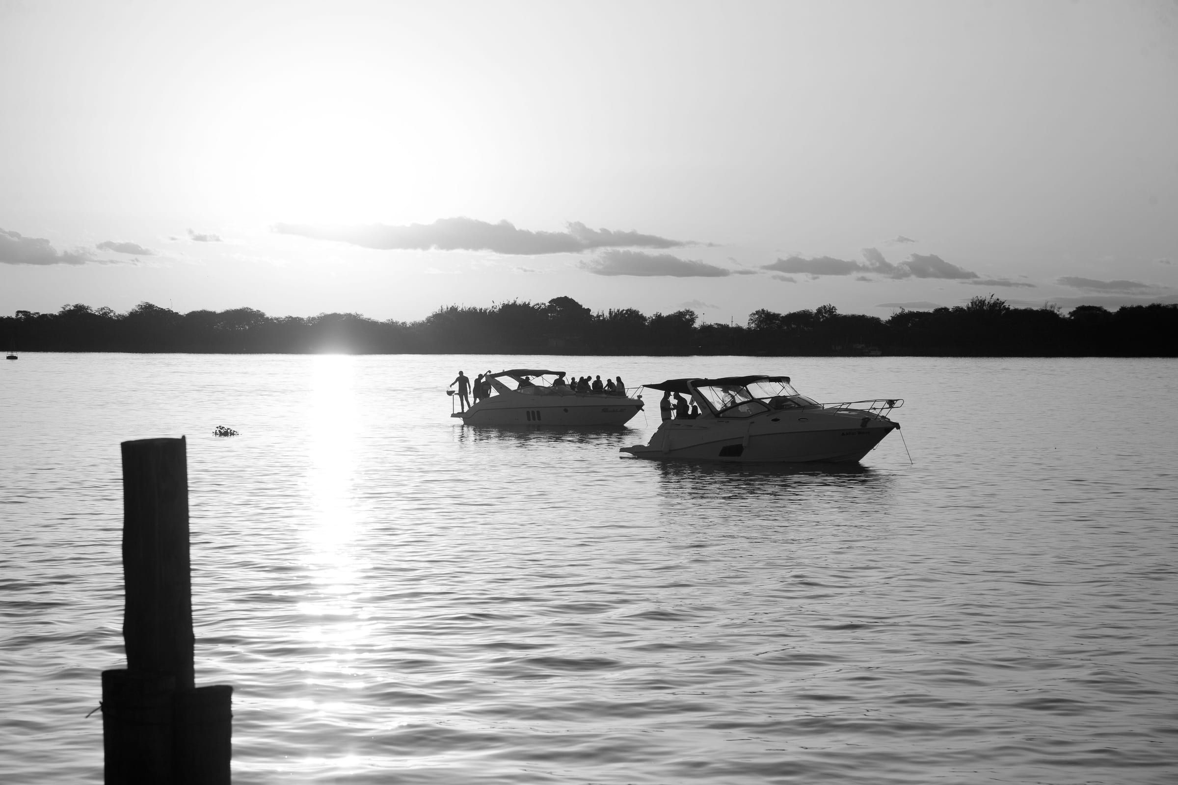
Harbor towns line the Lake Michigan shore from Grand Haven to the Straits, close enough for boaters to cruise north a day at a time and tie up overnight in town.
Not for navigation. Use current NOAA charts and the National Weather Service marine forecast, and check with each harbor before you go. Lake Michigan conditions change fast.
In order from south to north. Each harbor page covers transient slips, fuel and pump-out where an official source confirms them.
Harbors on the map
22 places on an OpenStreetMap map
Boater safety certificates, out-of-state boats, Clean Drain Dry and state harbor reservations are all in our licenses and passes guide.
The Lake Michigan shore from Grand Haven to Frankfort has a string of public harbors, most of them city, village and township marinas that appear on the Michigan Department of Natural Resources harbor map. This guide covers the official basics: how to reserve a transient slip, what Michigan requires of boat operators, how to keep invasive species from hitching a ride, and where to get forecasts and charts. It is not navigation advice. Always rely on official charts, current forecasts and the harbormaster.
The DNR counts 82 harbors in its network: 18 managed by the DNR and 64 grant-in-aid harbors. Its interactive harbor map shows each harbor’s location and how it takes reservations.
DNR harbor rules also note that Michigan is a “No Discharge” state: discharging sewage, treated or not, or oily waste from a boat into state waters is illegal.
According to the DNR, anyone born on or after July 1, 1996, needs a boating safety certificate (also called a boater education card) to operate a vessel in Michigan. The DNR lists three ways to earn it: a classroom course, an approved online course, or an interactive online course. It also notes that the U.S. Coast Guard Auxiliary and America’s Boating Club offer additional courses. The DNR also publishes operator age restrictions for different types of boats.
Michigan law requires boaters to remove aquatic plants from boats, equipment and trailers before putting them in Michigan waters. Before moving a boat over land, the law requires you to:
The state’s NotMISpecies campaign sums this up as Clean, Drain, Dry, Dispose: clean off plants, plant fragments and mud, drain anything that holds water, dry surfaces in the sun or with a towel, and put unused bait in the trash, never in the water. The state says this applies to every kind of watercraft, from kayaks and tubes to larger boats.
The National Weather Service issues nearshore forecasts for Lake Michigan, covering the water within five nautical miles of shore, along with an open lakes forecast. Along this shore:
The NWS says nearshore forecasts are issued through the boating season, usually from about April 1 to about December 31, depending on ice. Each office’s marine page also links to observations, radar, wave forecasts and definitions of marine warnings and advisories.
NOAA’s Office of Coast Survey publishes the official nautical charts for the Great Lakes. NOAA electronic navigational charts (ENCs) are free when downloaded directly from Coast Survey, either one at a time from the NOAA Chart Locator or in regional groups from the ENC download page. NOAA’s Custom Chart tool lets boaters build and print their own charts from current ENC data, and NOAA lists certified chart agents for paper charts. The U.S. Coast Pilot, NOAA’s supplemental navigation guide, is also free online.
Lakes where an official source lists a public launch or boating details.
Lake · Benzie & Sleeping Bear
An all-sports lake: 9,854 acres, 165 feet deep and very clear. Swim at the sandy Beulah beach, fuel up at the marina, fish for trout and perch.
Lake · Benzie & Sleeping Bear
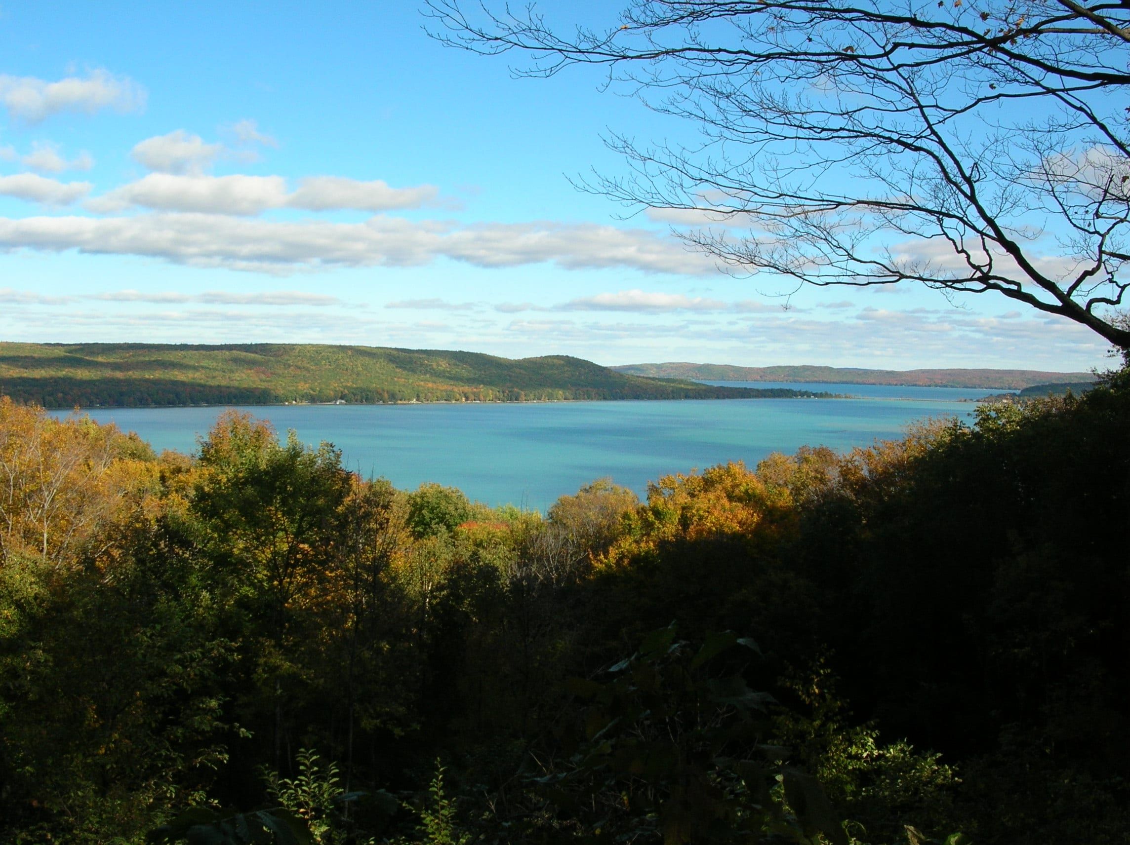
A clear two-basin lake at Glen Arbor: ski and cruise deep Big Glen from the marina, swim and paddle sandy Little Glen, ice fish for perch in winter.
Bay · Grand Traverse & Inland Lakes
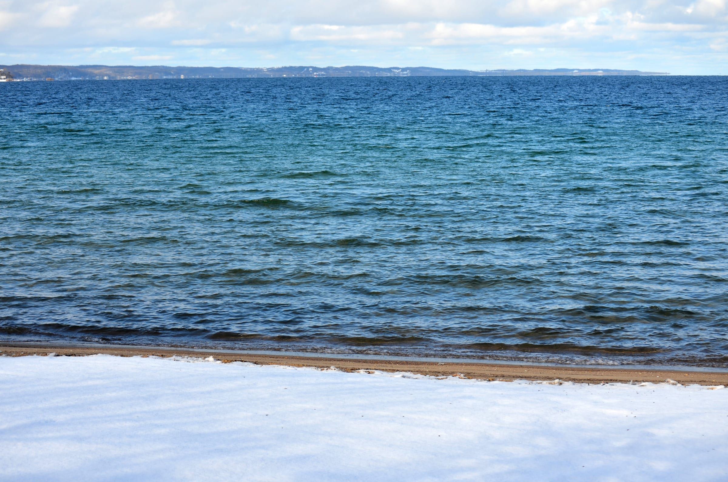
Traverse City's big water: a Lake Michigan bay with city beaches, five public harbors with slips, fuel at two, sailing, paddling and trout and salmon fishing.
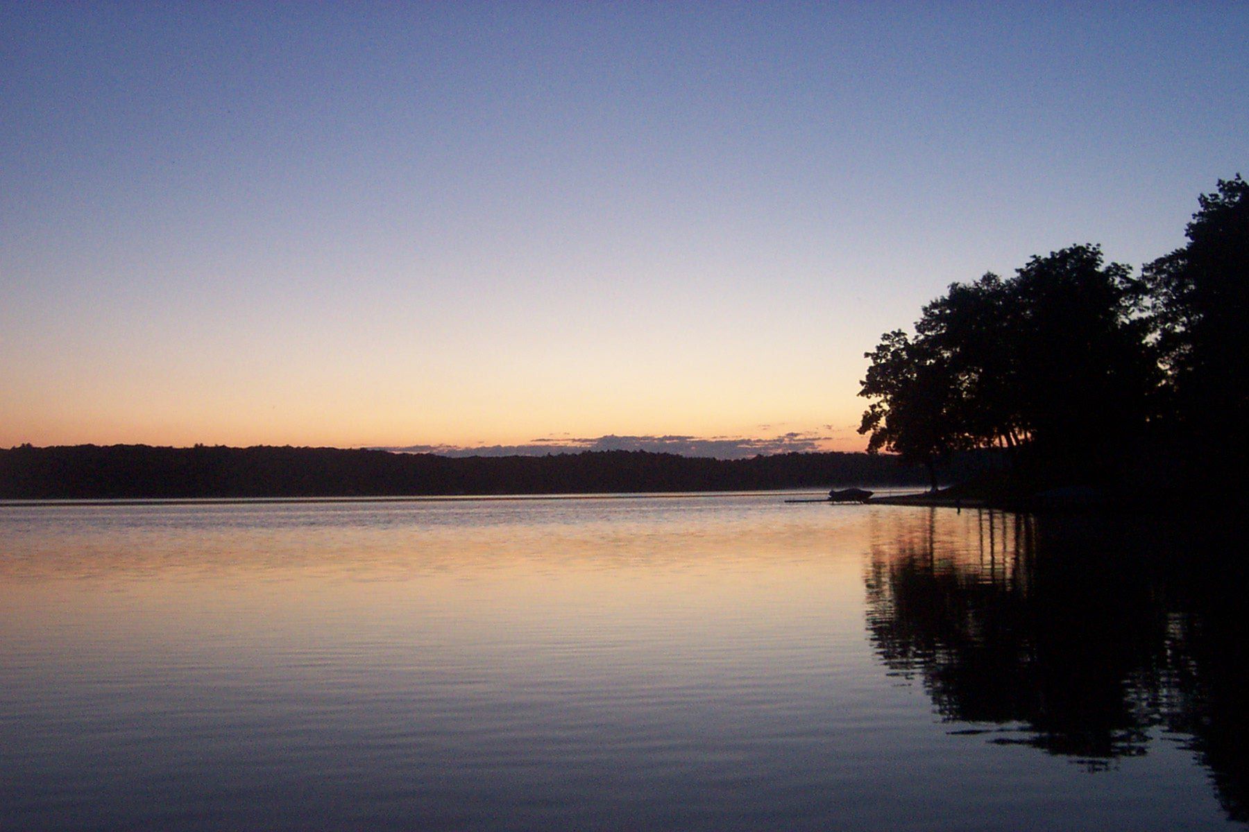
Lake · Ludington & Manistee
Ludington State Park's big all-sports lake: ski and tube the open water, swim at the park beach, paddle the marsh trail, and ice fish for bluegill in winter.
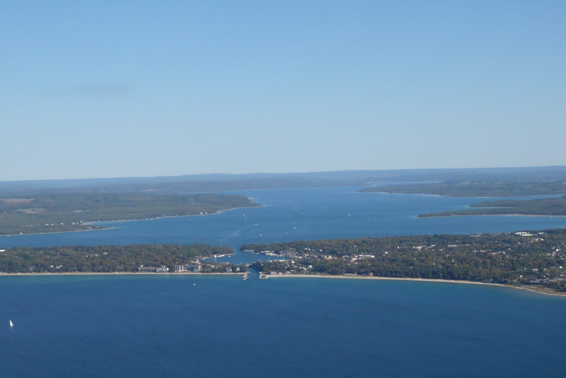
Lake · Charlevoix & Petoskey
An all-sports lake of 17,200 acres linking Charlevoix, Boyne City and East Jordan, with town marinas, a channel to Lake Michigan and walleye through the ice.
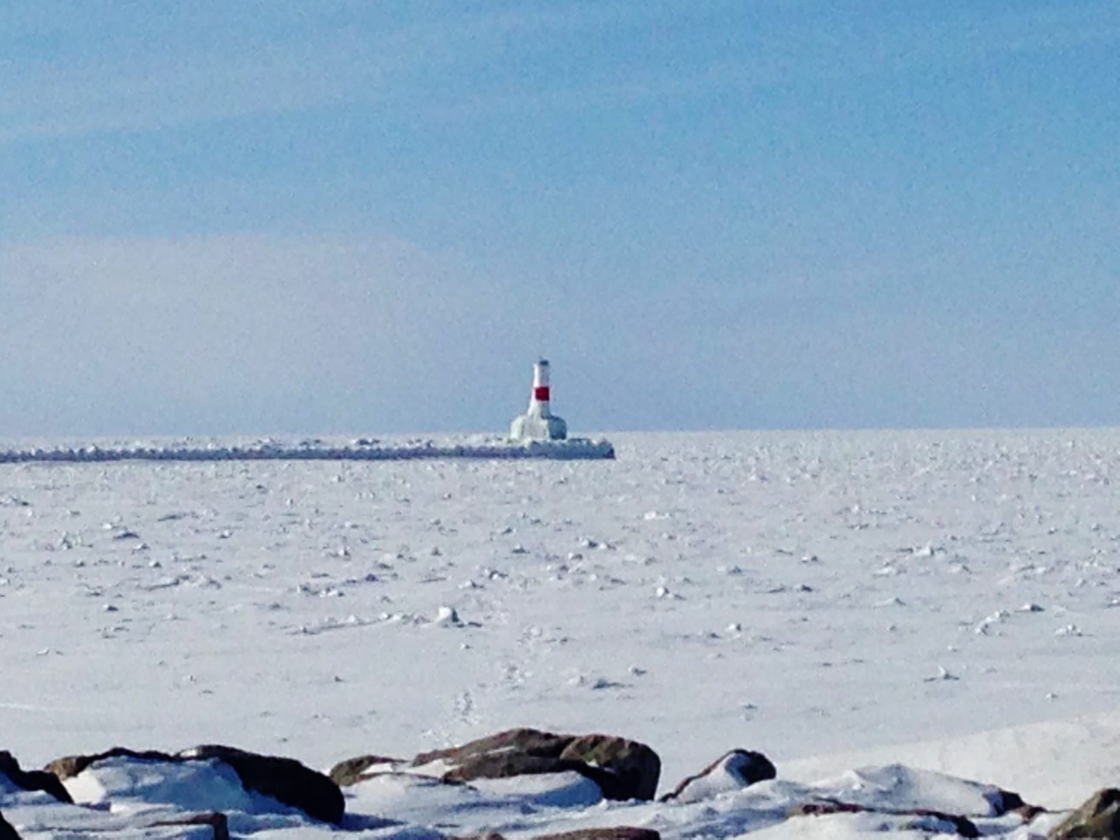
Bay · Charlevoix & Petoskey
A Lake Michigan bay with marinas in Petoskey, Harbor Springs and Bay Harbor, swim beaches at the state park and Zorn Park, and Petoskey stones in the shallows.
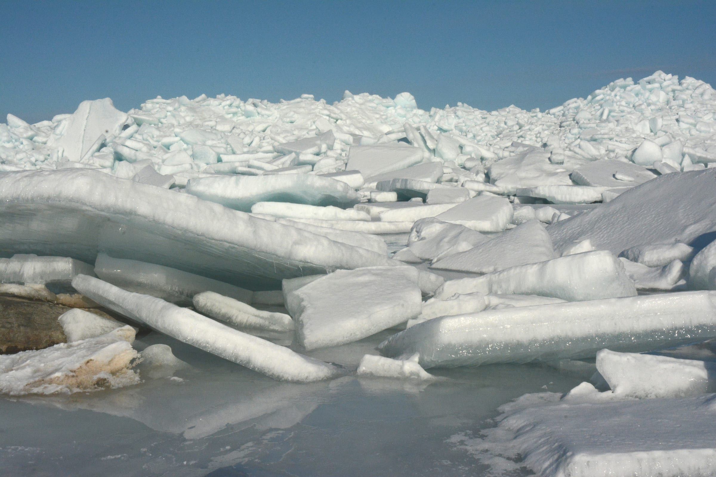
Bay · Mackinac & Straits
The strait between Michigan's peninsulas, with harbors at Mackinaw City and Mackinac Island, the bridge, island ferries and protected shipwrecks.
Lake · Grand Traverse & Inland Lakes
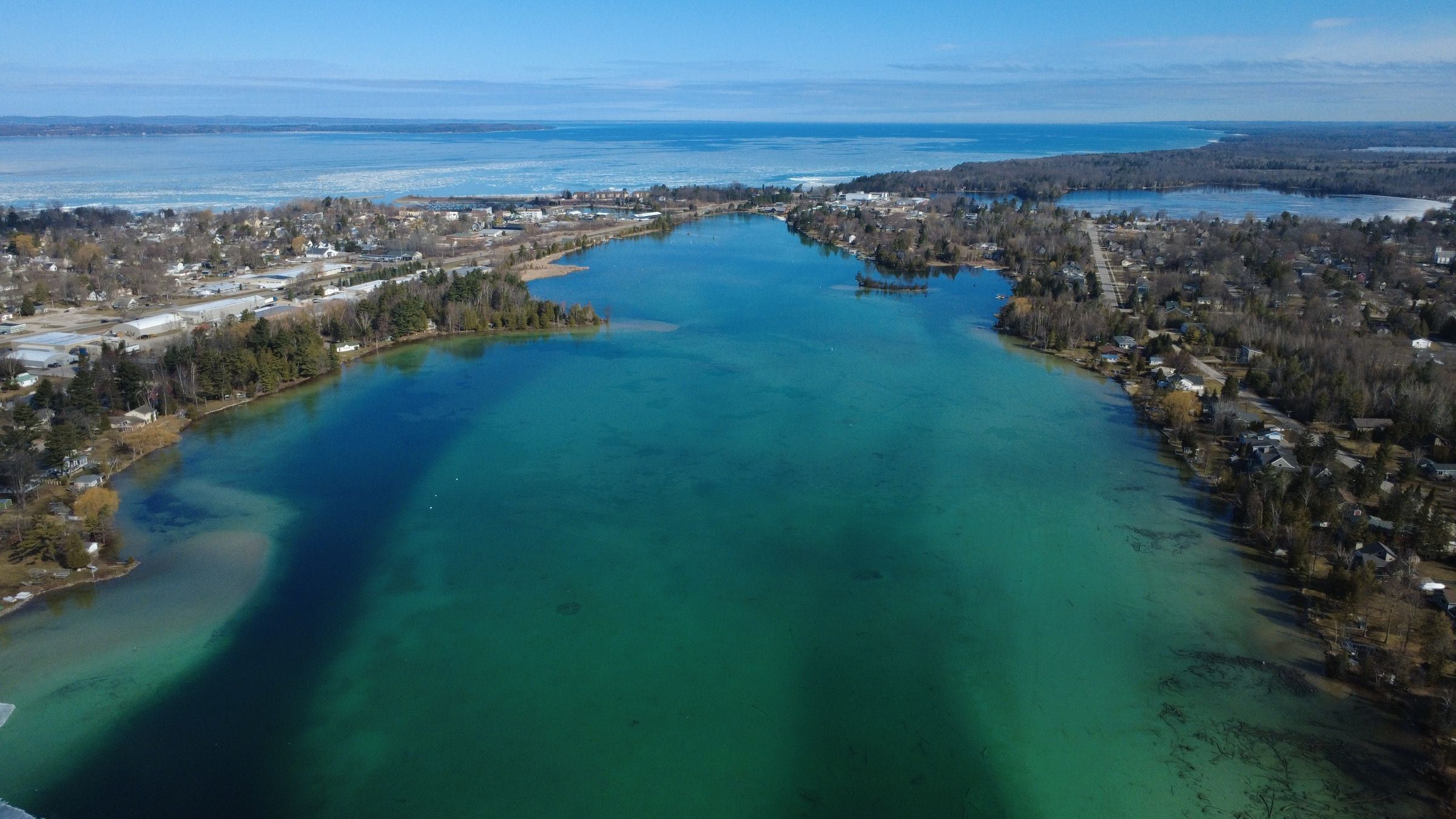
Michigan's longest inland lake: 19 miles of deep, clear, all-sports water for skiing, tubing and the sandbar, plus lake trout and a Chain of Lakes link.
Lake · Ludington & Manistee
A small harbor lake at Arcadia with a township marina, a kayak put-in and a channel to Lake Michigan. Ski and tube outside the no-wake north end.
Looking for charters, rentals and launches by town? See boating on Things to Do.
May we count your visit with Google Analytics? It helps us see which guides are useful. Nothing is collected unless you choose Allow. Details
Your browser sends Global Privacy Control, so analytics stays off and we will not ask again.