Resort
Mission Point Resort
On the Lake Huron shore of Mackinac Island
A lakefront resort on the sunrise side of Mackinac Island, with a wide lawn facing Lake Huron, a spa, an outdoor pool and a putting course.
Bay · Mackinac & Straits
The strait between Michigan's peninsulas, with harbors at Mackinaw City and Mackinac Island, the bridge, island ferries and protected shipwrecks.
The Straits of Mackinac is where you cross between Michigan’s peninsulas, by bridge or by ferry. Come to drive the Mackinac Bridge, catch a boat to Mackinac Island, or stand at the Old Mackinac Point Lighthouse and watch the freighters go by.
If you bring your own boat, Mackinaw City has two harbors, the village marina and the Straits State Harbor, which sells fuel and has a three-lane DNR launch. Across the water, the Mackinac Island State Harbor puts you steps from downtown, but it fills in midsummer, so reserve early. Plan for fast, shifting currents and busy shipping lanes.
It is the narrow waterway that joins Lake Michigan and Lake Huron and separates the Lower and Upper peninsulas. Water moves so freely through the strait that the two lakes are treated as a single lake, Michigan-Huron. Overall the flow runs from Lake Michigan toward Lake Huron, but wind drives water back and forth, and in summer the surface and deeper layers can move in opposite directions.
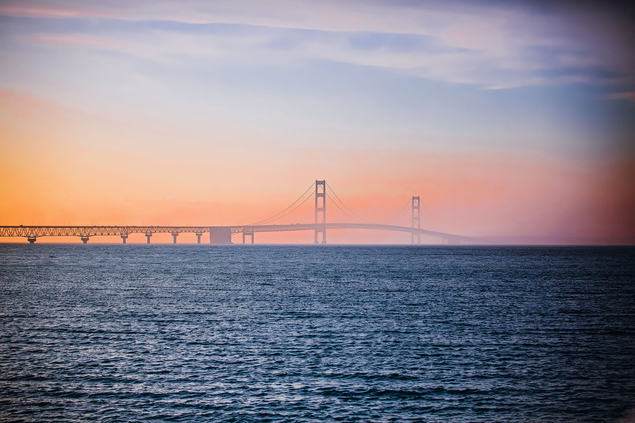
The Mackinac Bridge, opened in 1957, crosses the strait for about five miles between Mackinaw City and St. Ignace. The water at midspan is 295 feet deep, and the bridge is the customary dividing line between the two lakes. From the Old Mackinac Point Lighthouse in Mackinaw City, you can look out over the shipping lane and the bridge.
For the island, the ferries from Mackinaw City and St. Ignace take about 15 minutes, or about 25 on routes that swing under the bridge. Day-trippers leave their vehicles in ferry lots on the mainland.
Under the water is a long record of wrecks. Rocky shoals and quickly building storms have sunk many ships here, and the Straits of Mackinac Shipwreck Preserve protects wrecks such as the 604-foot freighter Cedarville, lost in 1965, and the brig Sandusky, which sank in 1856.
The strait is a busy route for commercial shipping and recreation. Currents are fast and reverse direction about every day and a half as wind pushes water between the two lakes, reaching about one meter per second, so plan for them.
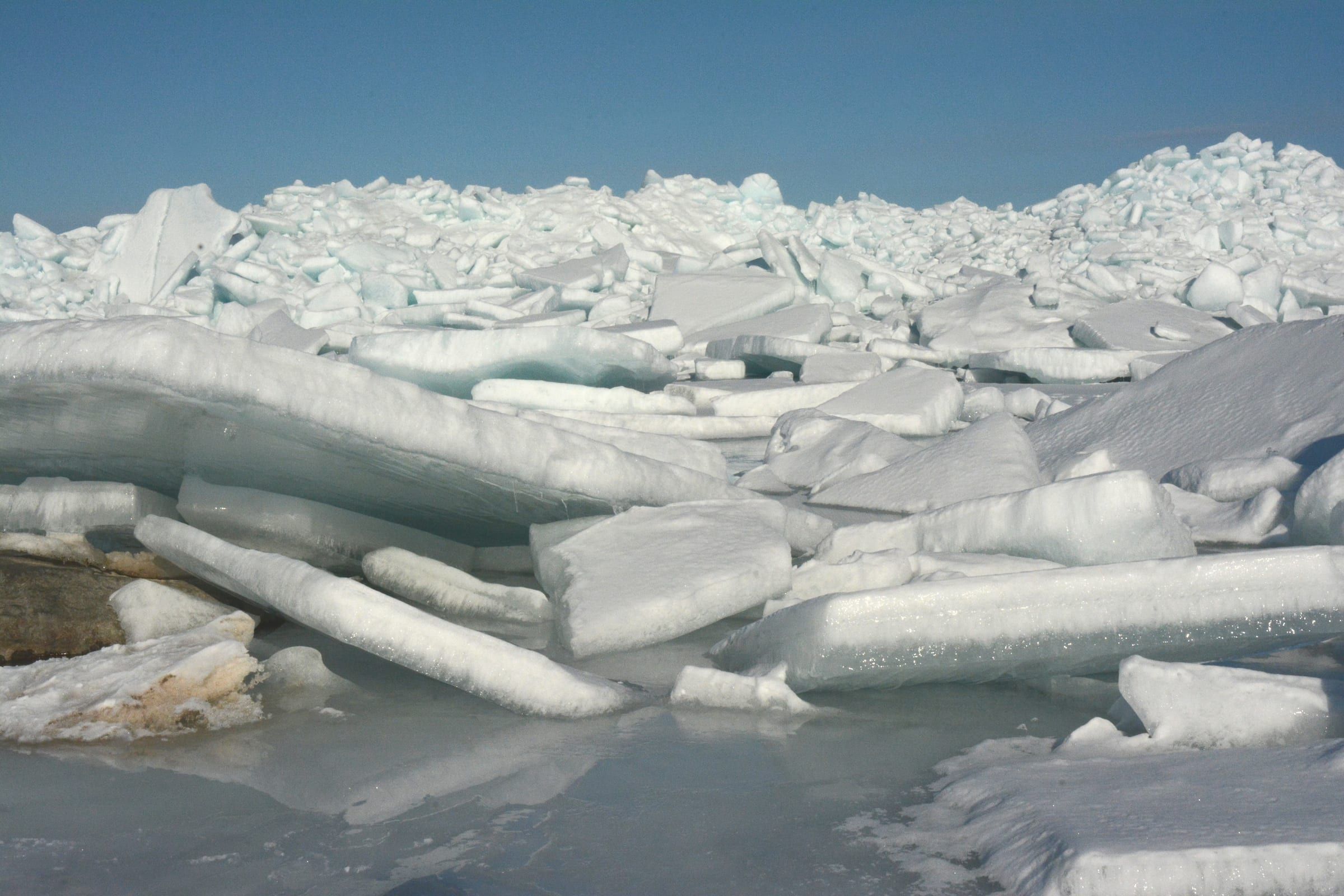
In some winters the strait freezes solid enough for an ice bridge between St. Ignace and Mackinac Island, marked with a line of trees and used by islanders on snowmobiles. The Mackinac County Sheriff warns that no ice is safe ice: currents under the ice make it impossible to predict, and no one inspects the route. When ice closes the strait, the island's airport is the link to the mainland.
Straits State Harbor (Mackinaw City)
DNR launch with three lanes, a deep hard-surfaced ramp and 72 trailer spaces. Recreation Passport required.
Mackinaw City Municipal Marina
Village-run one-lane ramp deep enough for most trailered boats, with 54 trailer spaces and a flush toilet.
St. Ignace launch
City-run four-lane launch on the north shore with a flush toilet. Launch fee.
Mackinaw City Municipal Marina
Village marina and harbor of refuge for transient boats on the Straits, with restrooms, showers, a boaters' lounge and a gas dock listed. Slips are booked through the DNR system.
Straits State Harbor (Mackinaw City)
State harbor on South Huron Street, listed with gas and diesel, pump-out, restrooms, showers and day-use dockage. Book through MiDNRReservations.com.
Mackinac Island State Harbor
Public marina in Haldimand Bay below Fort Mackinac, with about 80 slips, most for transient boats, pump-out, showers and power. Reserve through the DNR well ahead, especially around the Chicago and Port Huron sailboat races.
Fishing, launching at a state site or parking at a state park? See licenses and passes for what you need before you go.
Anything not listed here is unverified. Do not assume public access across private shoreline. Check the Michigan DNR boating access listings and the current fishing regulations.
Map of Straits of Mackinac
3 places on an OpenStreetMap map
Lakefront cottages and homes are listed by the local rental managers and booking sites below.
Mid-range
Holiday Inn Express Mackinaw CityAAA Three Diamond
Listed as open all year.
Budget
Baymont by Wyndham Mackinaw CityTripadvisor Travelers' Choice 2026 · AAA Approved
Search all hotels in Mackinaw City: Booking.com · Expedia · Hotels.com · Google Hotels
We don’t take bookings or earn anything from these links. Rates, availability and any booking problems are handled by the booking site.
Resort
On the Lake Huron shore of Mackinac Island
A lakefront resort on the sunrise side of Mackinac Island, with a wide lawn facing Lake Huron, a spa, an outdoor pool and a putting course.
Mackinac & Straits
The base for the Straits, beside the Mackinac Bridge at the tip of the Lower Peninsula, with a reconstructed colonial fort and ferries to Mackinac Island.
About 2 miles away (straight line)
Mackinac & Straits
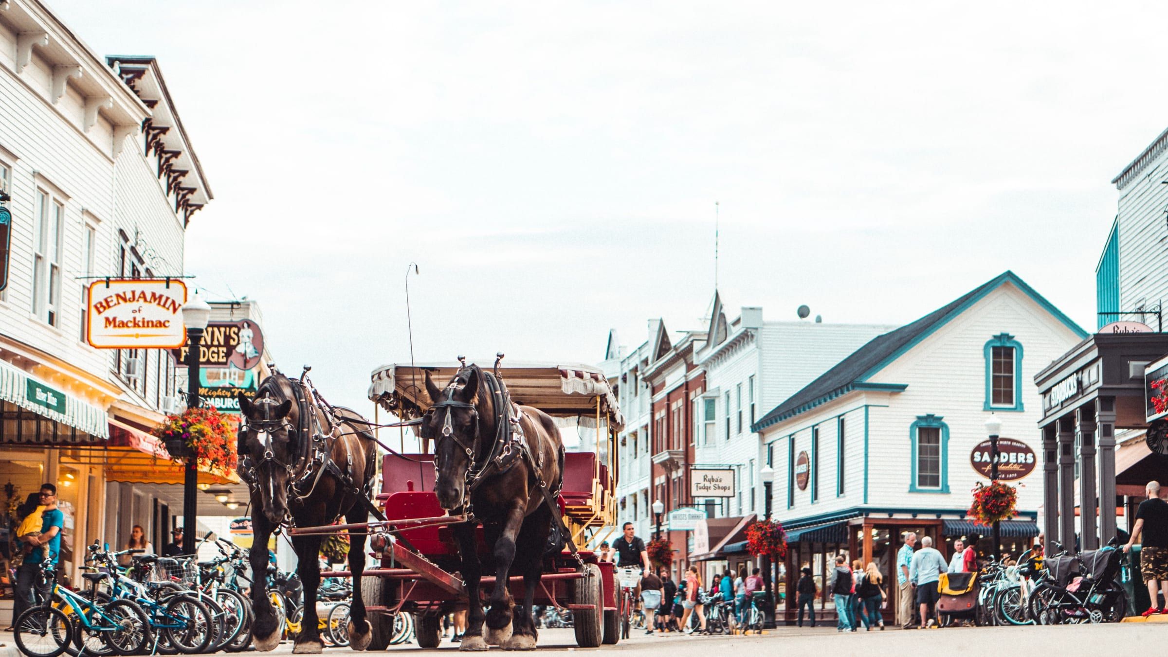
A car-free island in the Straits of Mackinac. Bike or walk from a busy harbor town to an old fort and a state park that covers most of the island.
About 6 miles away (straight line)
Straight-line distances from the map point.
Bridge
The five-mile suspension bridge that carries I-75 across the Straits of Mackinac between Mackinaw City and St. Ignace, open since November 1, 1957.
Under a mile away (straight line)
State park
Michigan's first state park covers more than 80 percent of Mackinac Island: forest, limestone formations, historic sites and 70-plus miles of roads and trails.
About 7 miles away (straight line)
Lake · Mackinac & Straits
A big, shallow all-sports lake at Carp Lake village south of Mackinaw City, with tea-colored water, large pike and a DNR launch with a boat wash.
May we count your visit with Google Analytics? It helps us see which guides are useful. Nothing is collected unless you choose Allow. Details
Your browser sends Global Privacy Control, so analytics stays off and we will not ask again.