Historic site
Colonial Michilimackinac
Mackinaw City's 18th-century fort and fur trading village, rebuilt from historic maps and one of the longest-running archaeological digs in the country.
About 7 miles away (straight line)
Lake · Mackinac & Straits
A big, shallow all-sports lake at Carp Lake village south of Mackinaw City, with tea-colored water, large pike and a DNR launch with a boat wash.
Paradise Lake is a big, shallow all-sports lake near the Straits, with no local speed or hour limits. Paddlers, anglers, boaters and swimmers all use it, and the pike are the draw if you fish. Watch your depth: most of the lake is under 10 feet.
Long known as Carp Lake, it sits in northern Emmet County, near the Straits of Mackinac. It covers 1,947 acres with nearly 10 miles of shoreline, but a maximum depth of only 18 feet. Most of the lake is under 10 feet deep, with a narrow trough along the north side holding the deepest water, and that is where the large northern pike are.
It is about three miles long and widens toward the west, where Stony Point splits it into two lobes. The dark, tea-colored water comes from natural tannins, not poor quality.
The village of Carp Lake lies along US-31 on the west shore, close to the DNR boat launch. Use the boat wash there, since Eurasian watermilfoil is in the lake. The lake drains north through the Carp River to Lake Michigan at Cecil Bay.
No special local watercraft controls apply on Paradise Lake, so standard state boating law is the rule. Most of the lake is under 10 feet deep, so watch your depth.
The Michigan DNR launch is near the middle of the west shore, and a boat-washing station was added there in 2013 to help keep invasive species out. Little Traverse Conservancy preserves protect parts of the south shore.
The lake has an active fishery, with large northern pike in the deeper water. Check current Michigan DNR rules before fishing.
The water is naturally tea-colored from tannins, so it looks dark, but quality is high.
Eurasian watermilfoil is present. Use the boat wash at the DNR launch so you do not spread it.
Paradise Lake boating access site
DNR launch on the west shore with one lane, a hard-surfaced ramp deep enough for most trailered boats, 10 trailer spaces, a vault toilet and a boat wash station. Recreation Passport required.
Fishing, launching at a state site or parking at a state park? See licenses and passes for what you need before you go.
Anything not listed here is unverified. Do not assume public access across private shoreline. Check the Michigan DNR boating access listings and the current fishing regulations.
Map of Paradise Lake
1 place on an OpenStreetMap map
Lakefront cottages and homes are listed by the local rental managers and booking sites below.
Mid-range
Holiday Inn Express Mackinaw CityAAA Three Diamond
Listed as open all year.
Budget
Baymont by Wyndham Mackinaw CityTripadvisor Travelers' Choice 2026 · AAA Approved
Search all hotels in Mackinaw City: Booking.com · Expedia · Hotels.com · Google Hotels
We don’t take bookings or earn anything from these links. Rates, availability and any booking problems are handled by the booking site.
Straight-line distances from the map point.
Historic site
Mackinaw City's 18th-century fort and fur trading village, rebuilt from historic maps and one of the longest-running archaeological digs in the country.
About 7 miles away (straight line)
Lighthouse
The 1892 castle-style lighthouse just east of the Mackinac Bridge, with restored keepers' rooms, a tower you can climb and a shipwreck museum.
About 7 miles away (straight line)
Bridge
The five-mile suspension bridge that carries I-75 across the Straits of Mackinac between Mackinaw City and St. Ignace, open since November 1, 1957.
About 9 miles away (straight line)
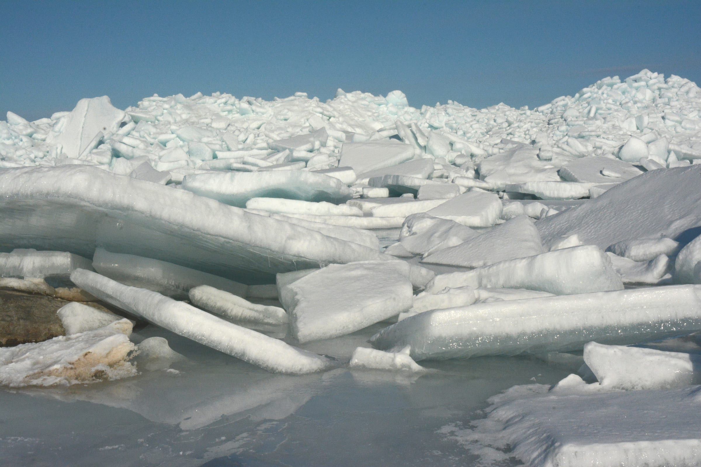
Bay · Mackinac & Straits
The strait between Michigan's peninsulas, with harbors at Mackinaw City and Mackinac Island, the bridge, island ferries and protected shipwrecks.
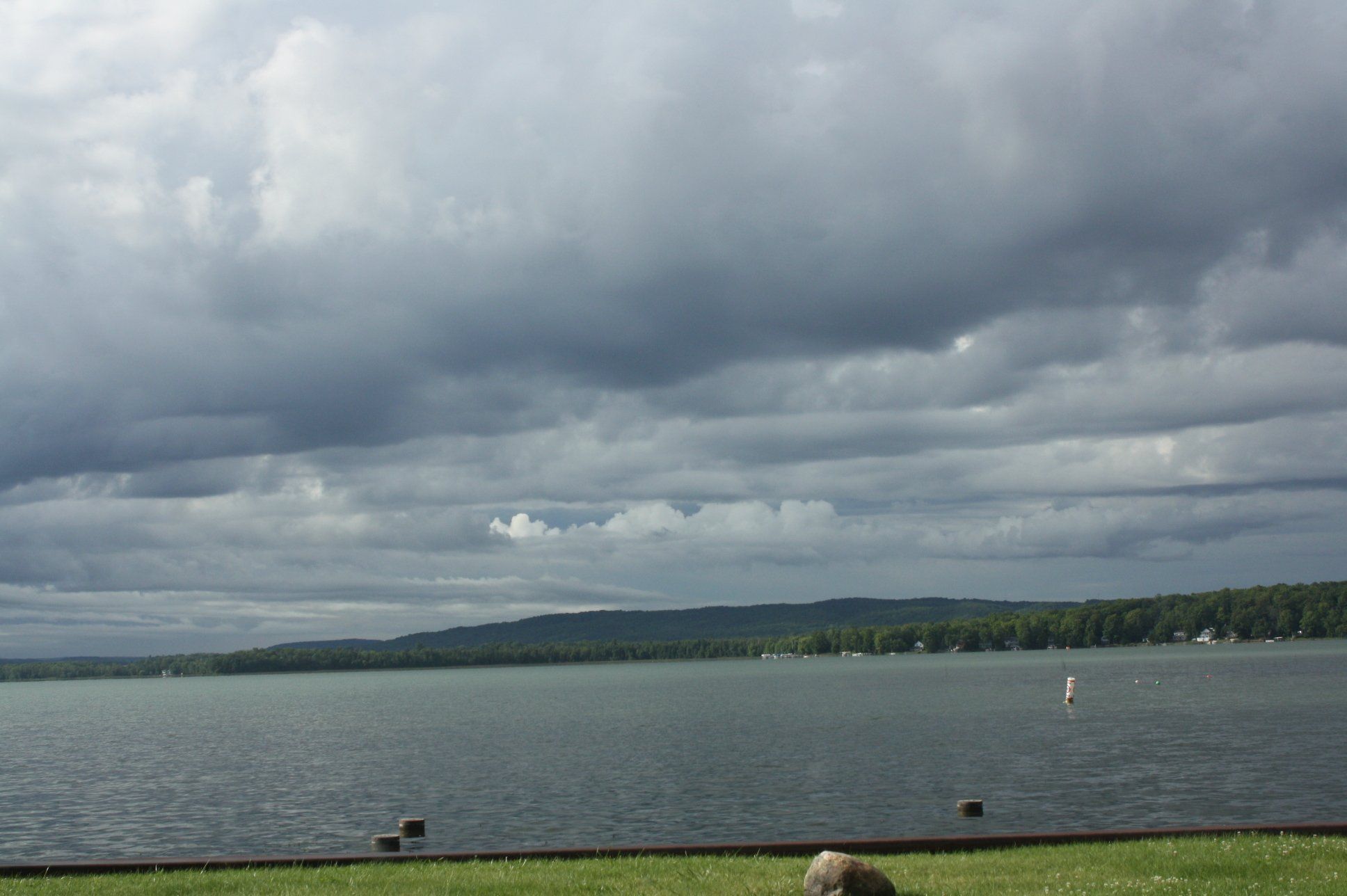
Lake · Charlevoix & Petoskey
A broad, shallow all-sports lake east of Petoskey that starts the Inland Waterway, with marinas and rentals in Oden and Alanson and slow channels at each end.
Lake · Charlevoix & Petoskey
Crooked Lake's deeper all-sports neighbor east of Petoskey, with a free county park beach and a short channel onto the Inland Waterway.
May we count your visit with Google Analytics? It helps us see which guides are useful. Nothing is collected unless you choose Allow. Details
Your browser sends Global Privacy Control, so analytics stays off and we will not ask again.