
Mackinac & Straits
Mackinaw City
The base for the Straits, beside the Mackinac Bridge at the tip of the Lower Peninsula, with a reconstructed colonial fort and ferries to Mackinac Island.
Under a mile away (straight line)
Historic site · Mackinac & Straits
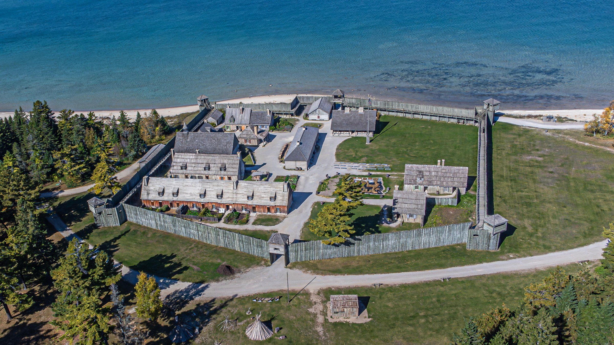
Mackinaw City's 18th-century fort and fur trading village, rebuilt from historic maps and one of the longest-running archaeological digs in the country.
Photo: WMrapids, Wikimedia Commons (CC BY-SA 4.0)
Colonial Michilimackinac puts you inside an 18th-century fur trading fort, rebuilt on its original ground, with costumed interpreters, muskets firing and archaeologists still digging. It suits families and anyone curious about the fur trade. Park free in the lot by the Visitor’s Center under the Mackinac Bridge, buy a ticket, and come between early June and mid-August if you want to see the dig.
Start by walking the fort. All sixteen buildings are open and furnished with period settings and exhibits; look for the underground exhibit on archaeology and another on slavery at the Straits. Interpreters portray voyageurs, British soldiers and French-Canadian families, and the fort’s cannon, mortar and muskets are fired in demonstrations.
Then watch the dig. It has run every summer since 1959, one of the longest-running archaeological digs in the country, and the reconstruction itself draws on historic maps and those decades of excavation.
The story behind it: French soldiers built Fort Michilimackinac on the south shore of the Straits of Mackinac in 1715. For decades it was the main fur trade center of the upper Great Lakes, a meeting place for traders, Native nations, soldiers and explorers. The British took it over in 1761. During the American Revolution they moved the garrison and community to Mackinac Island and burned what they left behind, and blowing sand gradually covered the site.
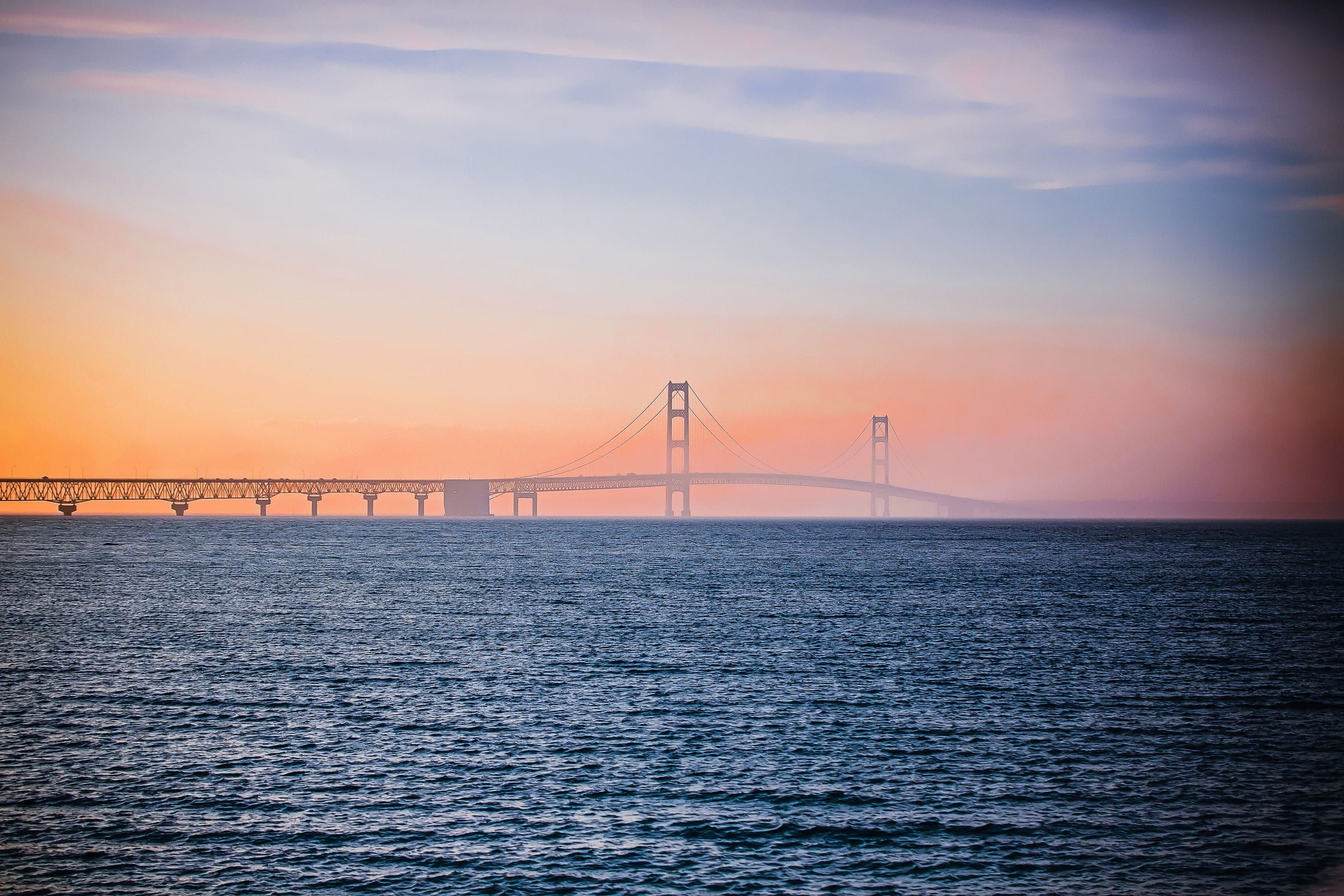
Before you leave, look out over the Straits toward the Mackinac Bridge and the Upper Peninsula.
Map of Colonial Michilimackinac
4 places on an OpenStreetMap map
Mackinac & Straits
The base for the Straits, beside the Mackinac Bridge at the tip of the Lower Peninsula, with a reconstructed colonial fort and ferries to Mackinac Island.
Under a mile away (straight line)
Straight-line distances, not driving distances.
Lighthouse
The 1892 castle-style lighthouse just east of the Mackinac Bridge, with restored keepers' rooms, a tower you can climb and a shipwreck museum.
Under a mile away (straight line)
Bridge
The five-mile suspension bridge that carries I-75 across the Straits of Mackinac between Mackinaw City and St. Ignace, open since November 1, 1957.
About 2 miles away (straight line)
Historic site
The fort on the bluff above Mackinac Island's harbor, founded by the British in 1780 and now a living history museum with fourteen restored buildings.
About 7 miles away (straight line)
May we count your visit with Google Analytics? It helps us see which guides are useful. Nothing is collected unless you choose Allow. Details
Your browser sends Global Privacy Control, so analytics stays off and we will not ask again.