Mackinac & Straits
Mackinac Island
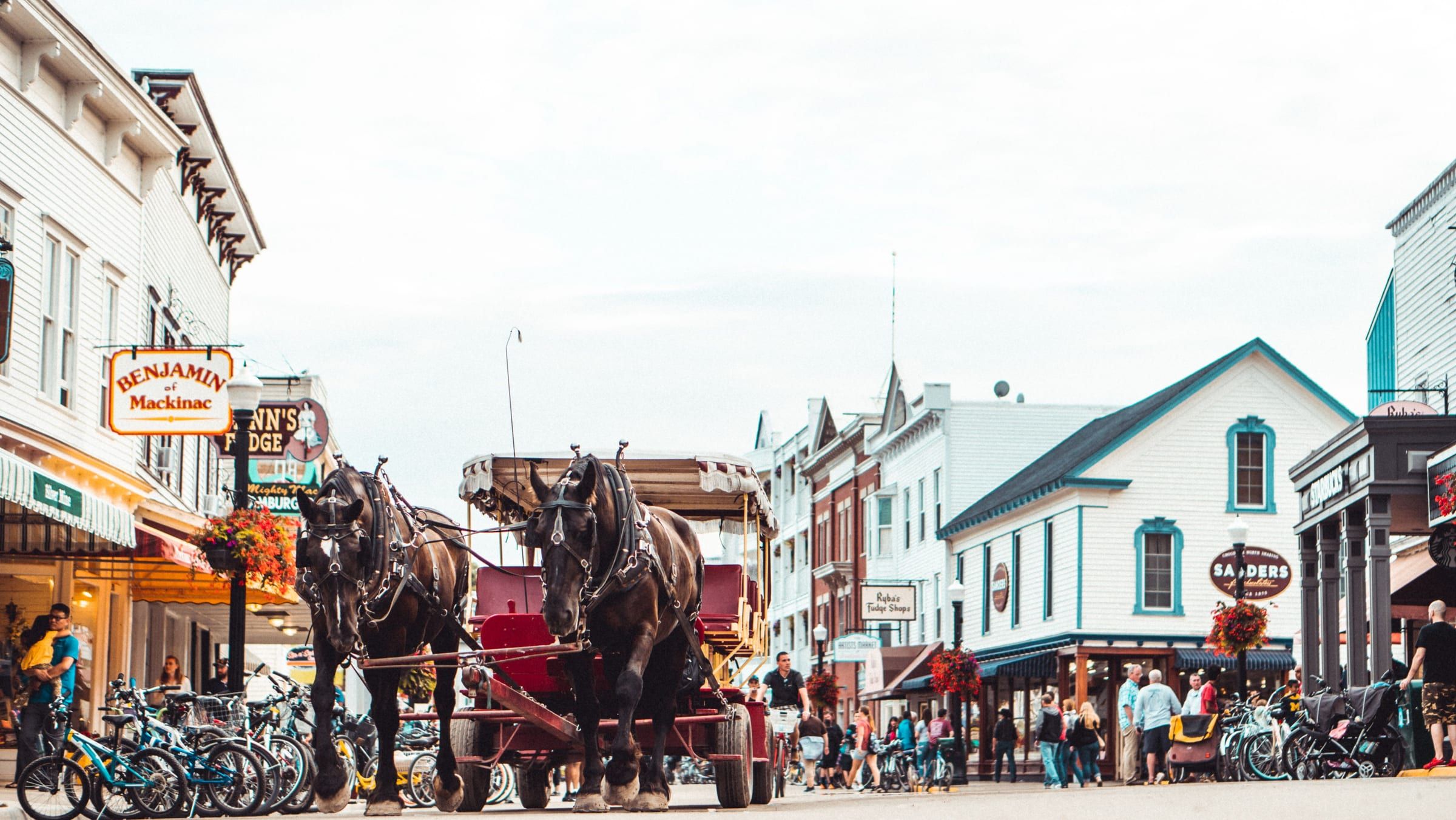
A car-free island in the Straits of Mackinac. Bike or walk from a busy harbor town to an old fort and a state park that covers most of the island.
Under a mile away (straight line)
State park · Mackinac & Straits
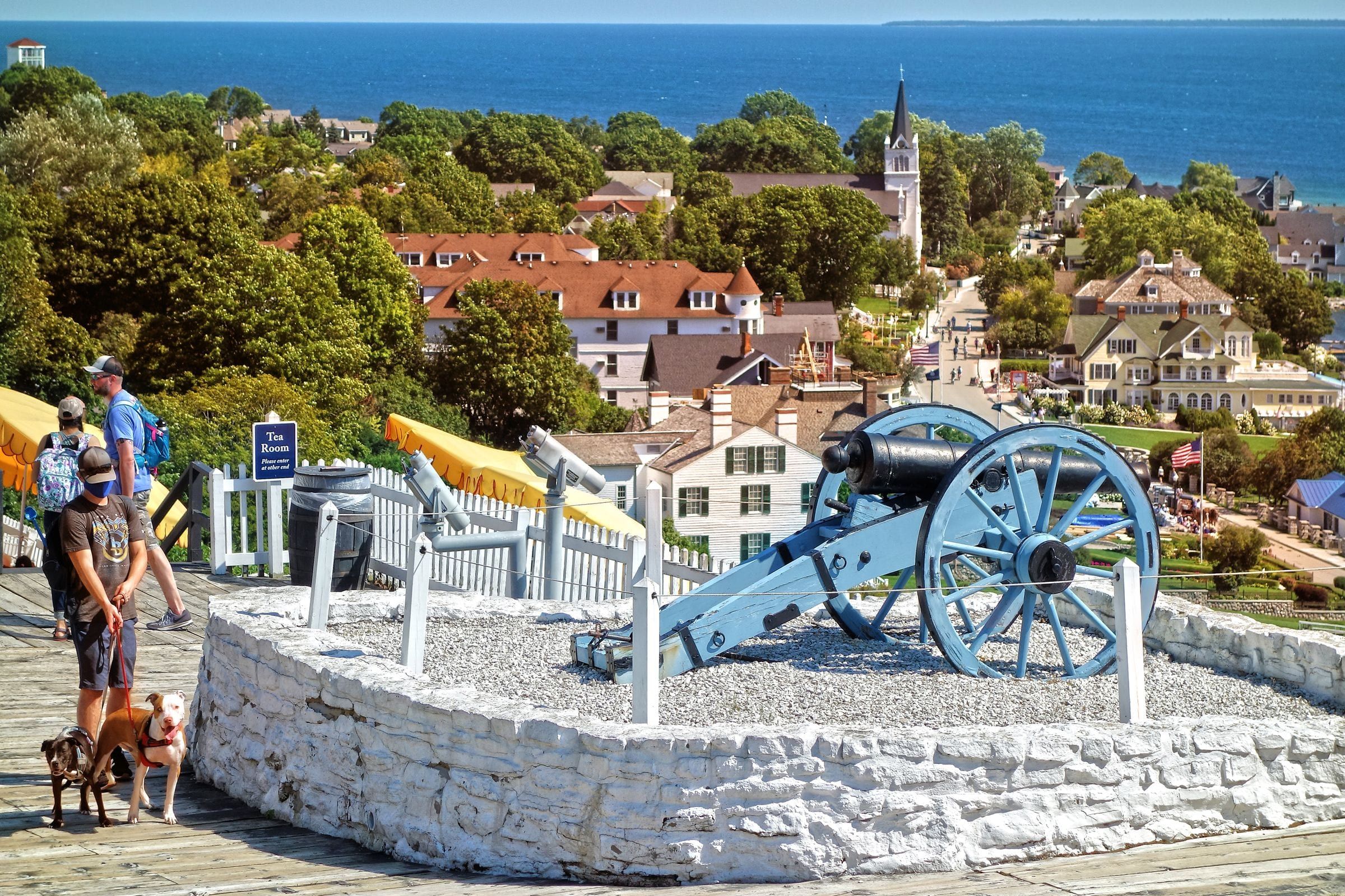
Michigan's first state park covers more than 80 percent of Mackinac Island: forest, limestone formations, historic sites and 70-plus miles of roads and trails.
Mackinac Island State Park is the island’s outdoors and much of its history in one: more than 80 percent of the land, with no motor vehicles, and many of the best-known places, including Fort Mackinac, Marquette Park, Arch Rock, Sugar Loaf, British Landing and Fort Holmes. It suits walkers, cyclists and history fans alike.
You arrive by ferry or by plane; I-75 brings you to Mackinaw City and St. Ignace on the mainland. The roads, trails and natural sites are open around the clock; Fort Mackinac and the downtown historic buildings take a ticket.
You get around on foot, by bicycle, on horseback or by carriage. Mackinac State Historic Parks credits the absence of motor vehicles with preserving the character of this National Historic Landmark.
Choose your route by effort. M-185, the road around the island’s edge, is fairly level. Interior routes climb toward the high center of the island, so expect hills if you head inland. In all, more than 70 miles of signed roads and trails wind through the park, some paved and some not, and five interpreted trails explain the island’s plants, natural history and Native American history.
Most of the park remains in a natural state, with cedar, spruce and birch near the shore and hardwood forest in the interior.
The park was established in 1895. For the twenty years before that, the land was Mackinac National Park, the second national park in the United States.
Map of Mackinac Island State Park
4 places on an OpenStreetMap map
Mackinac & Straits
A car-free island in the Straits of Mackinac. Bike or walk from a busy harbor town to an old fort and a state park that covers most of the island.
Under a mile away (straight line)
Straight-line distances, not driving distances.
Attraction
A natural limestone arch on Mackinac Island's east side, 146 feet above the water. You can see it from the shore road or from the bluff above.
Under a mile away (straight line)
Historic site
The fort on the bluff above Mackinac Island's harbor, founded by the British in 1780 and now a living history museum with fourteen restored buildings.
About 1 miles away (straight line)
Bridge
The five-mile suspension bridge that carries I-75 across the Straits of Mackinac between Mackinaw City and St. Ignace, open since November 1, 1957.
About 6 miles away (straight line)
May we count your visit with Google Analytics? It helps us see which guides are useful. Nothing is collected unless you choose Allow. Details
Your browser sends Global Privacy Control, so analytics stays off and we will not ask again.