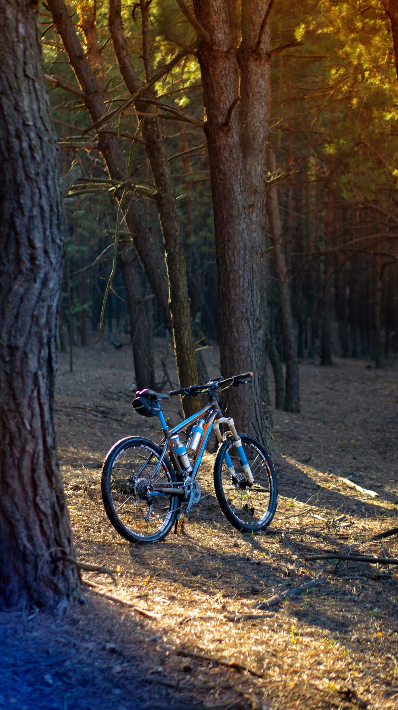
Nature preserve
Arcadia Dunes: The C.S. Mott Nature Preserve
3,927 acres of dunes, forest and grassland on Lake Michigan, with more than 15 miles of trails and an accessible path to a lake overlook.
Several towns sit on paved trails that make it easy to leave the car parked. Each trail page here names the organization that manages it.
Nature preserve
3,927 acres of dunes, forest and grassland on Lake Michigan, with more than 15 miles of trails and an accessible path to a lake overlook.
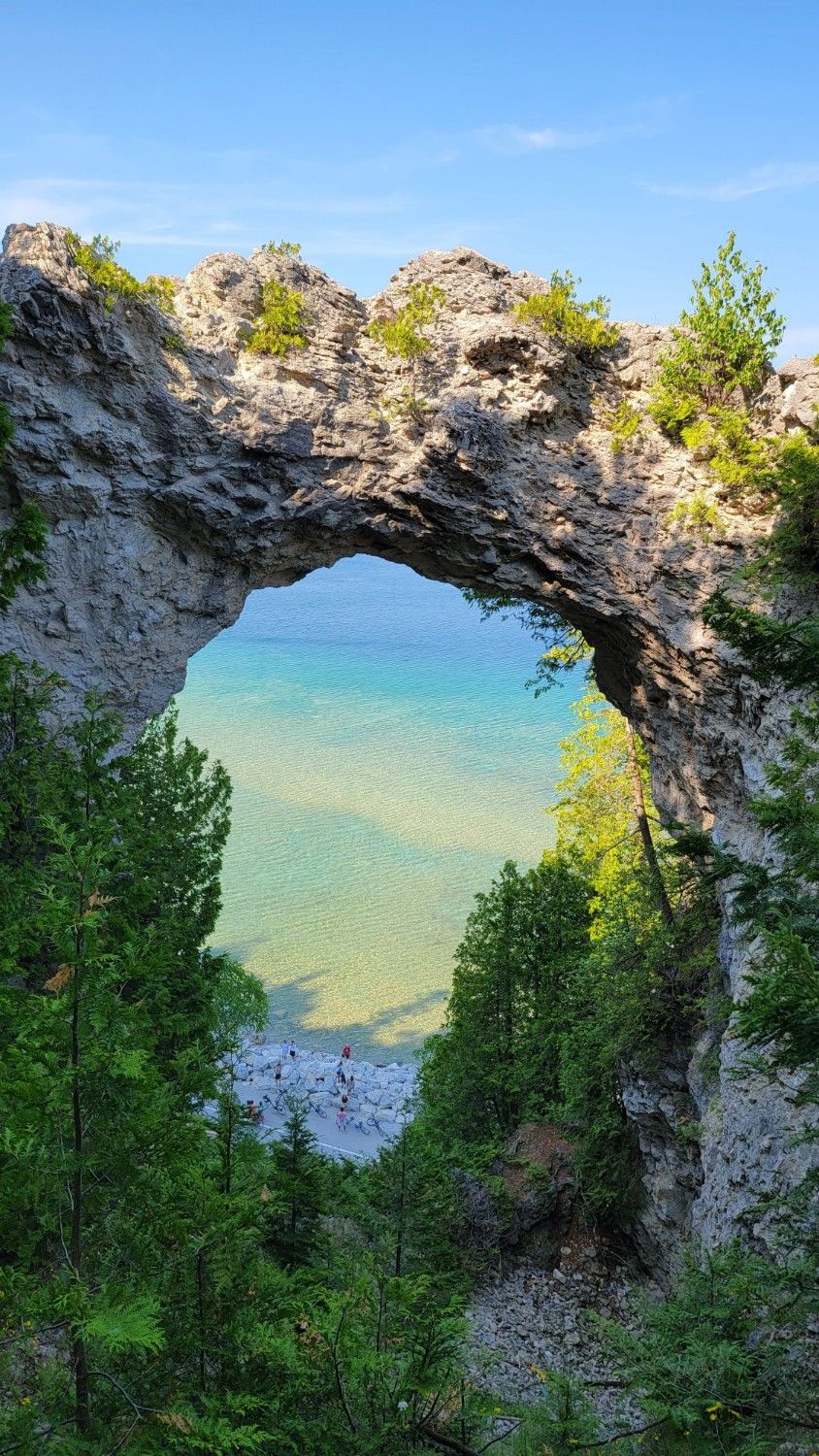
Attraction
A natural limestone arch on Mackinac Island's east side, 146 feet above the water. You can see it from the shore road or from the bluff above.
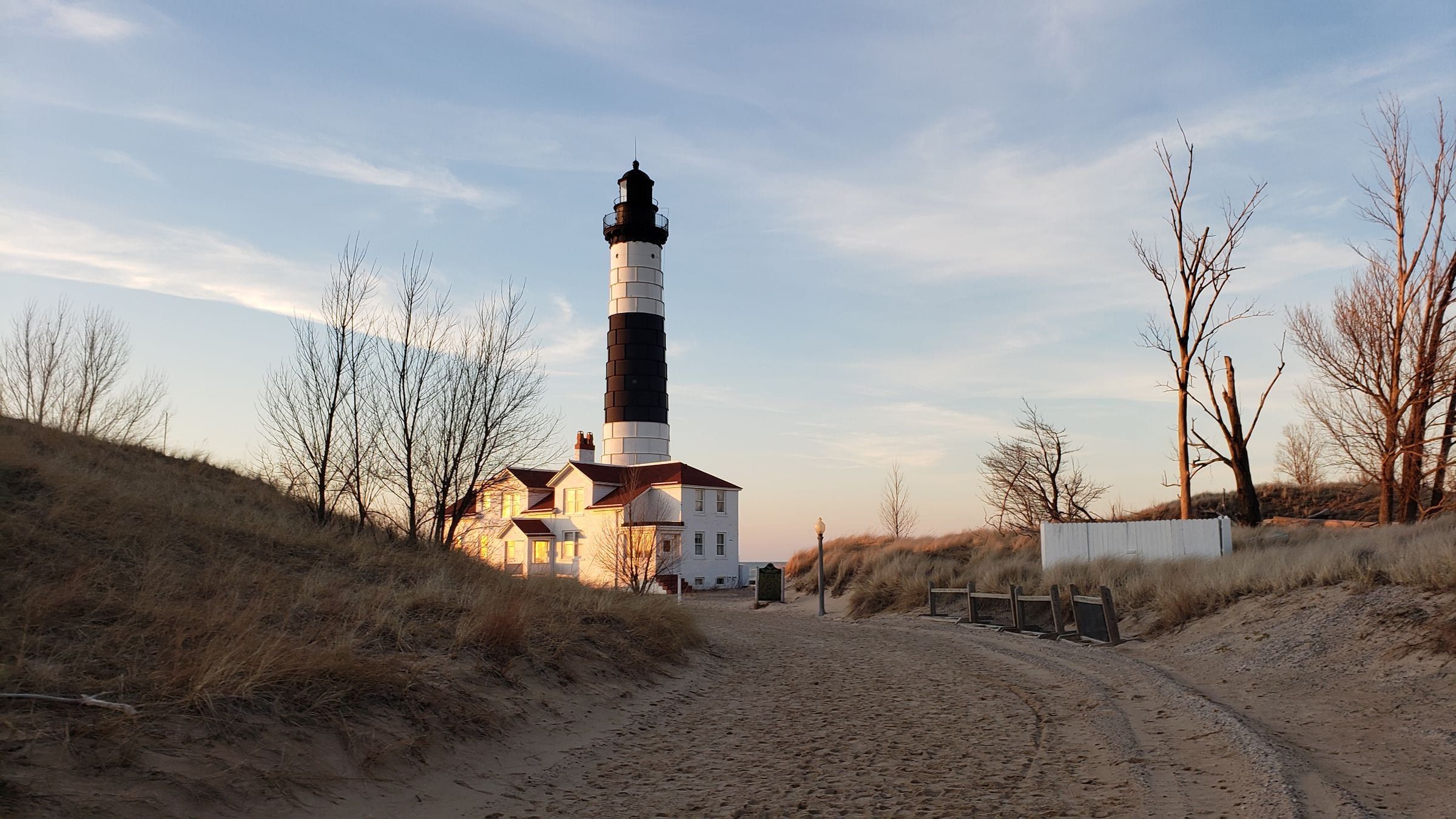
Lighthouse
An 1867 lighthouse, 112 feet tall and banded black and white, on the Lake Michigan shore in Ludington State Park. You reach it on a 1.8-mile walk or ride.
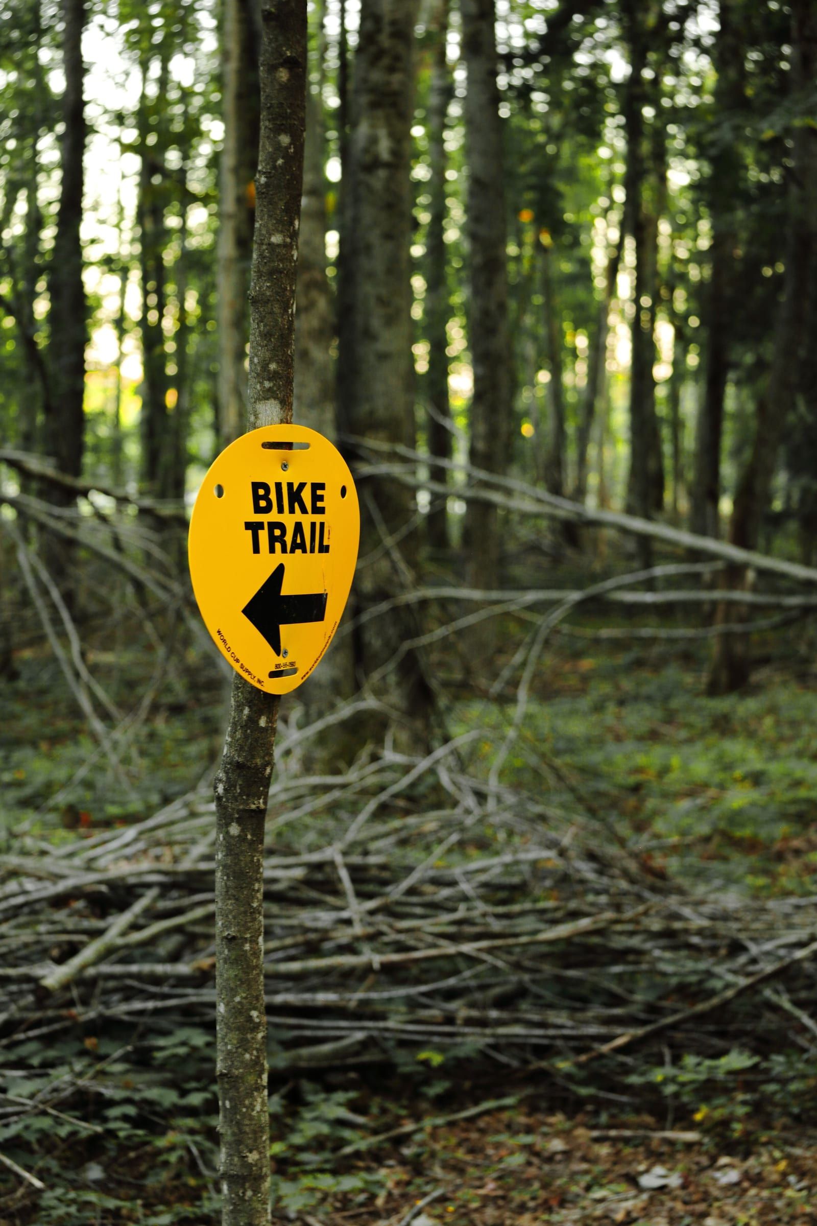
Trail
A paved, non-motorized trail along Little Traverse Bay linking Charlevoix, Petoskey and Harbor Springs, much of it with open views of the water.
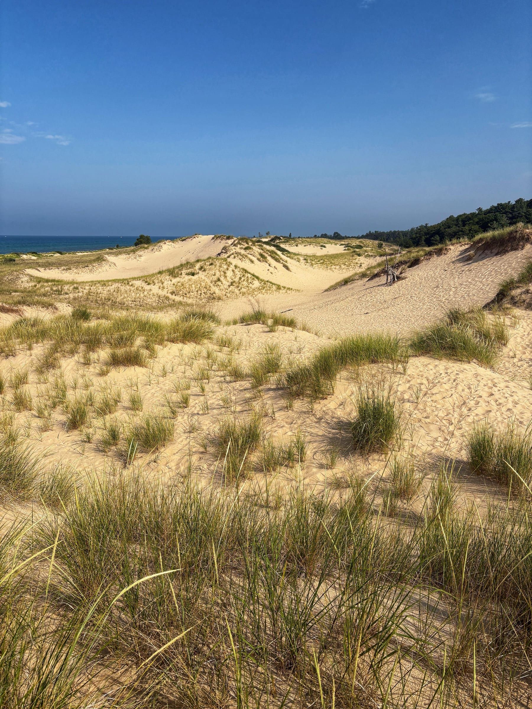
State park
A big dune park between Hamlin Lake and 7 miles of Lake Michigan shore, with three campgrounds, 21 miles of trails and the walk to Big Sable Point Lighthouse.
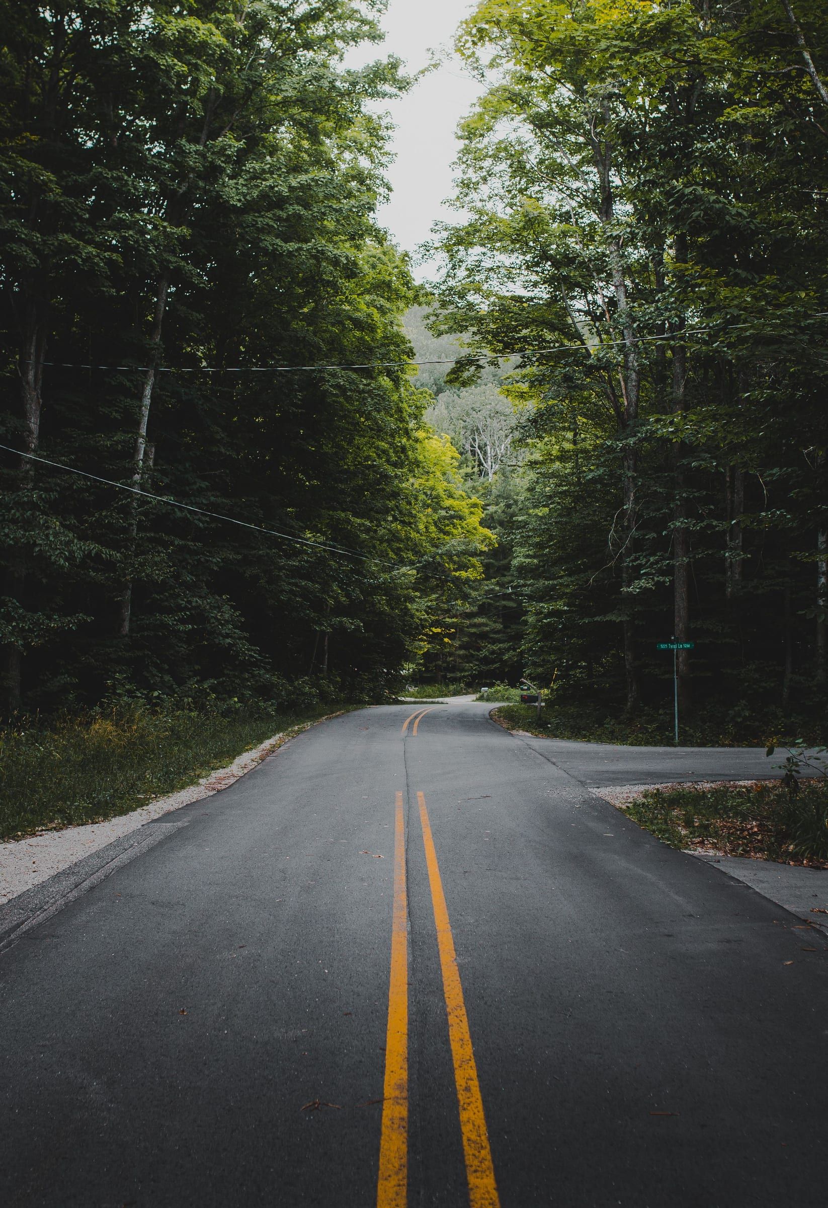
Scenic drive
A narrow, winding stretch of M-119 along the Lake Michigan shoreline north of Harbor Springs toward Cross Village, made for a slow drive.
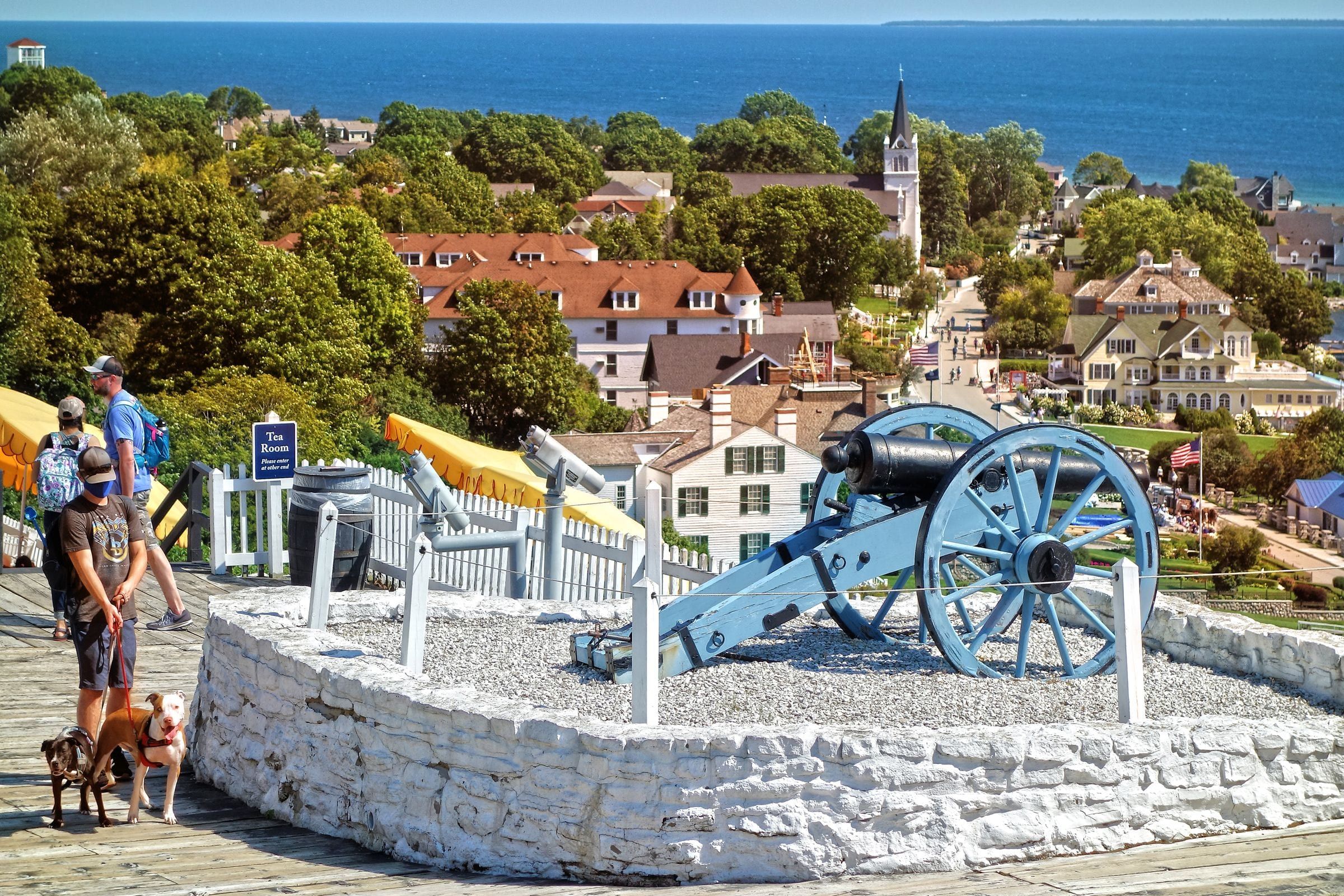
State park
Michigan's first state park covers more than 80 percent of Mackinac Island: forest, limestone formations, historic sites and 70-plus miles of roads and trails.
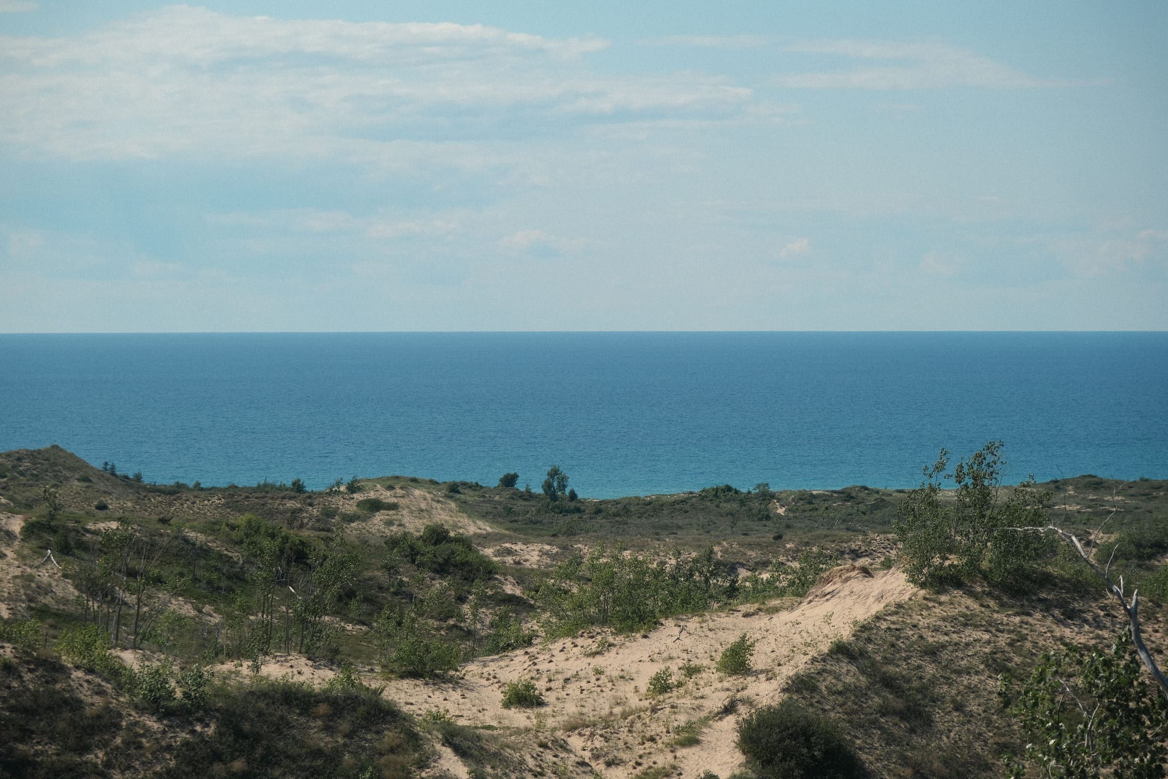
National park
Dunes, high bluffs, beaches, inland lakes and two islands along 65 miles of Lake Michigan shoreline in Benzie and Leelanau counties.
Trail
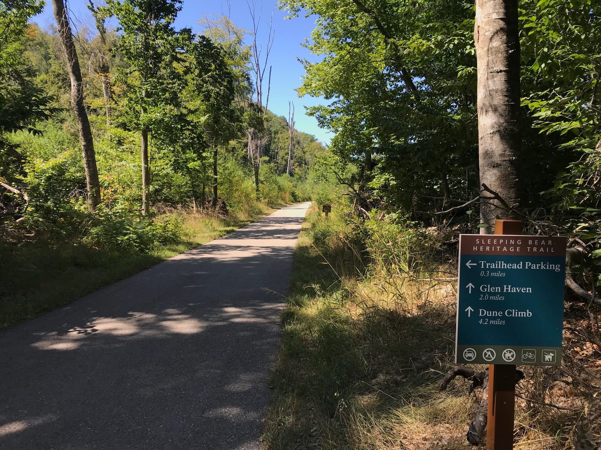
A mostly paved trail of about 22 miles through Sleeping Bear Dunes National Lakeshore, linking Empire, the Dune Climb, Glen Haven, Glen Arbor and Port Oneida.
Trail
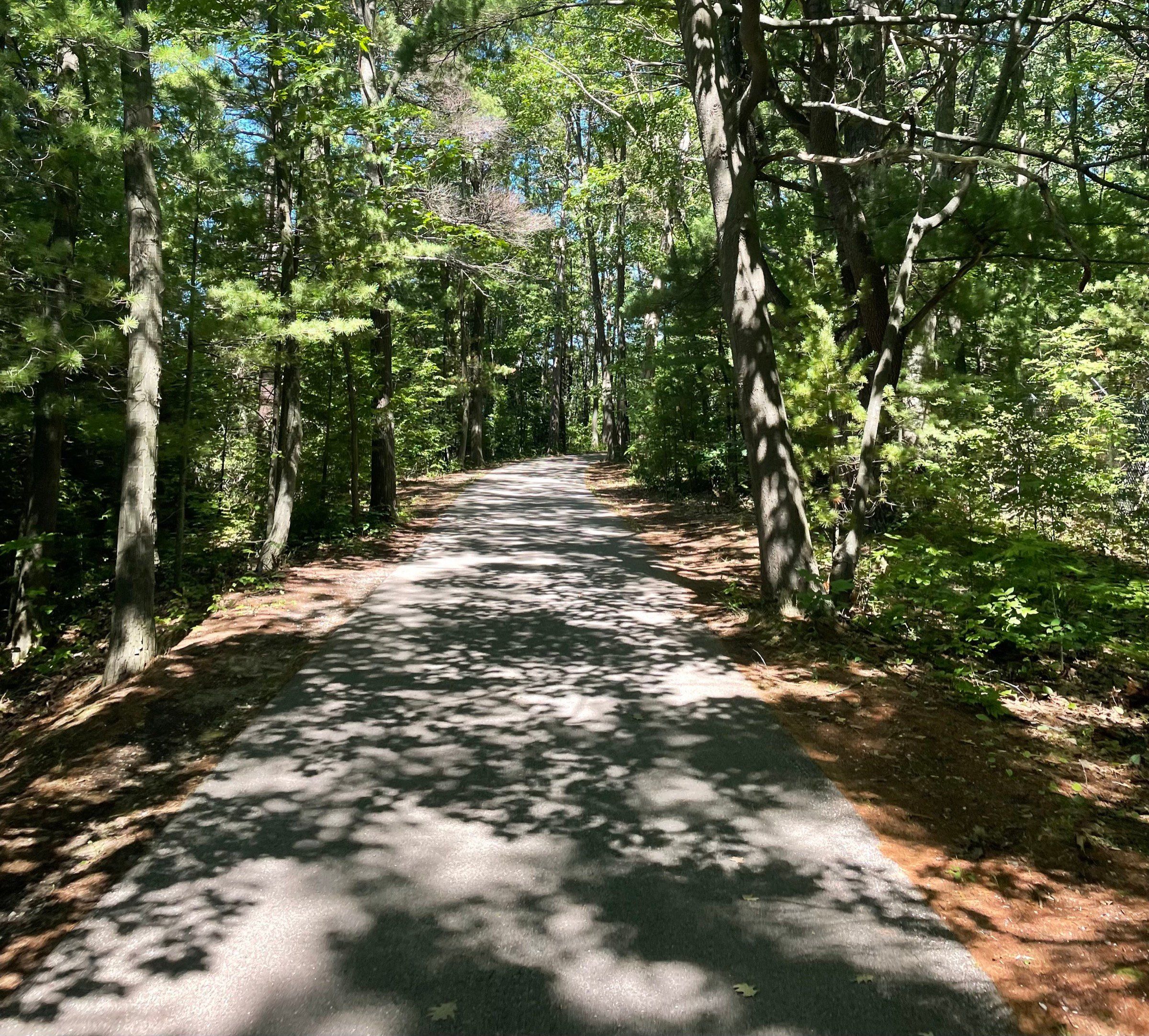
Traverse City's trail network, built around the 10.5-mile paved TART along the bay and linked to the Leelanau Trail, Boardman Lake Loop and VASA Pathway.
Attraction
Lake Michigan's largest island, a ferry ride of just over two hours from Charlevoix, with beaches, lighthouses and long trails. Plan to stay the night.
Trail
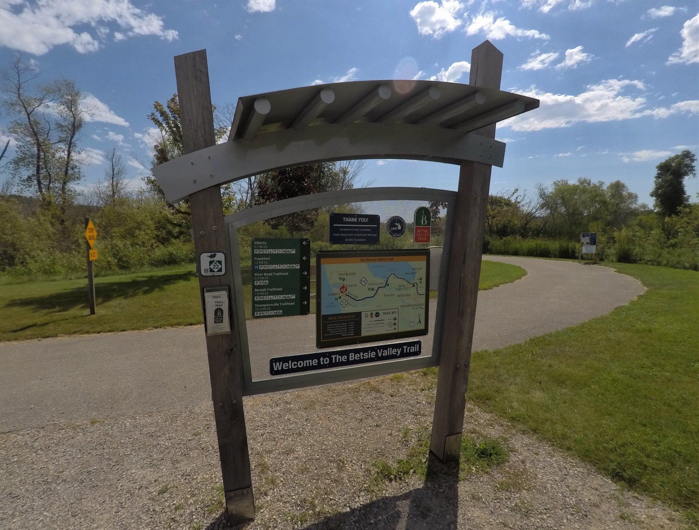
A 22-mile rail trail from Frankfort past Crystal Lake and Beulah, paved at the west end and aggregate beyond, with snowmobiling on the east part in winter.
Trail
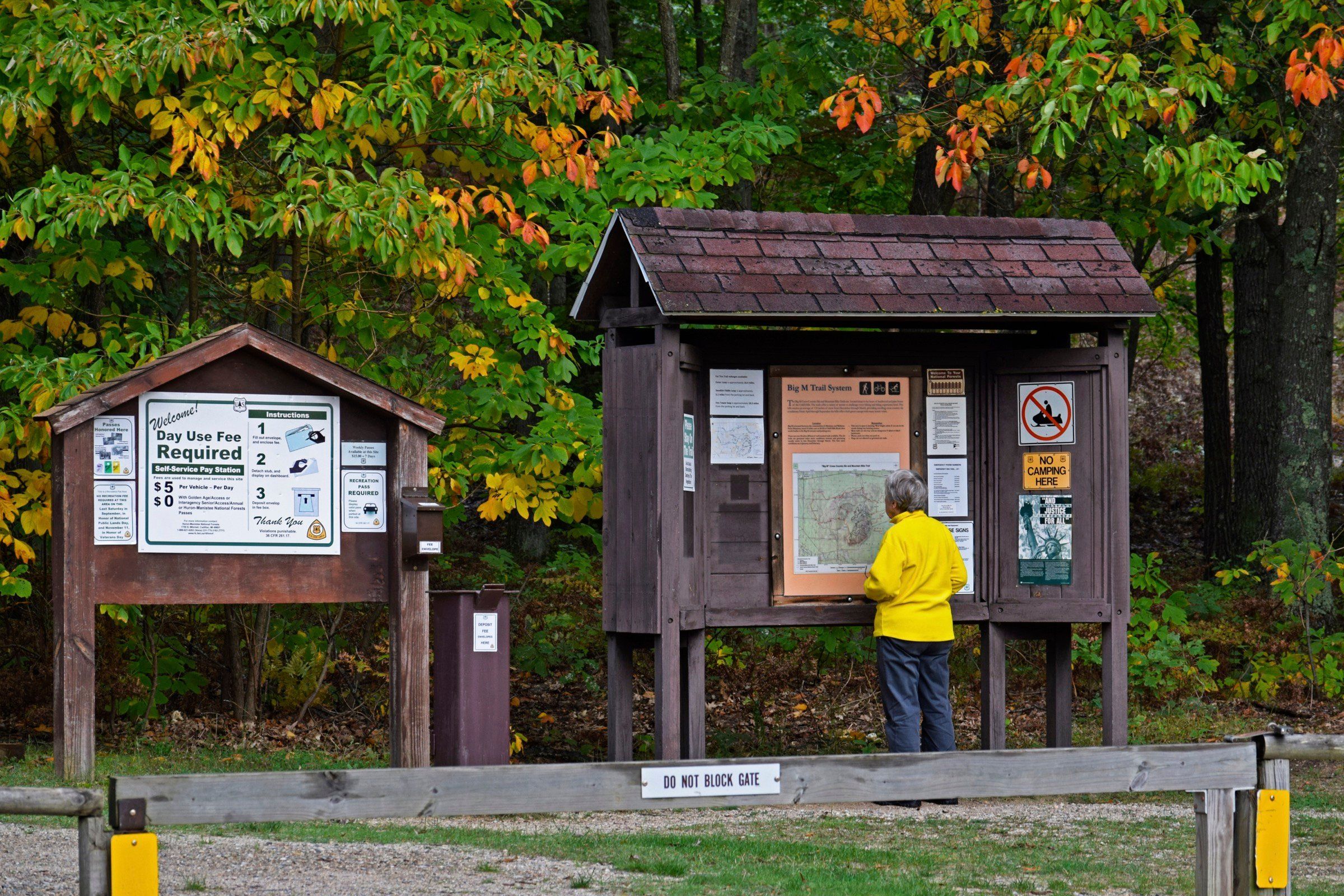
Groomed cross-country ski and winter fat-tire bike trails, and summer singletrack, in the Manistee National Forest near Wellston.
Ski area
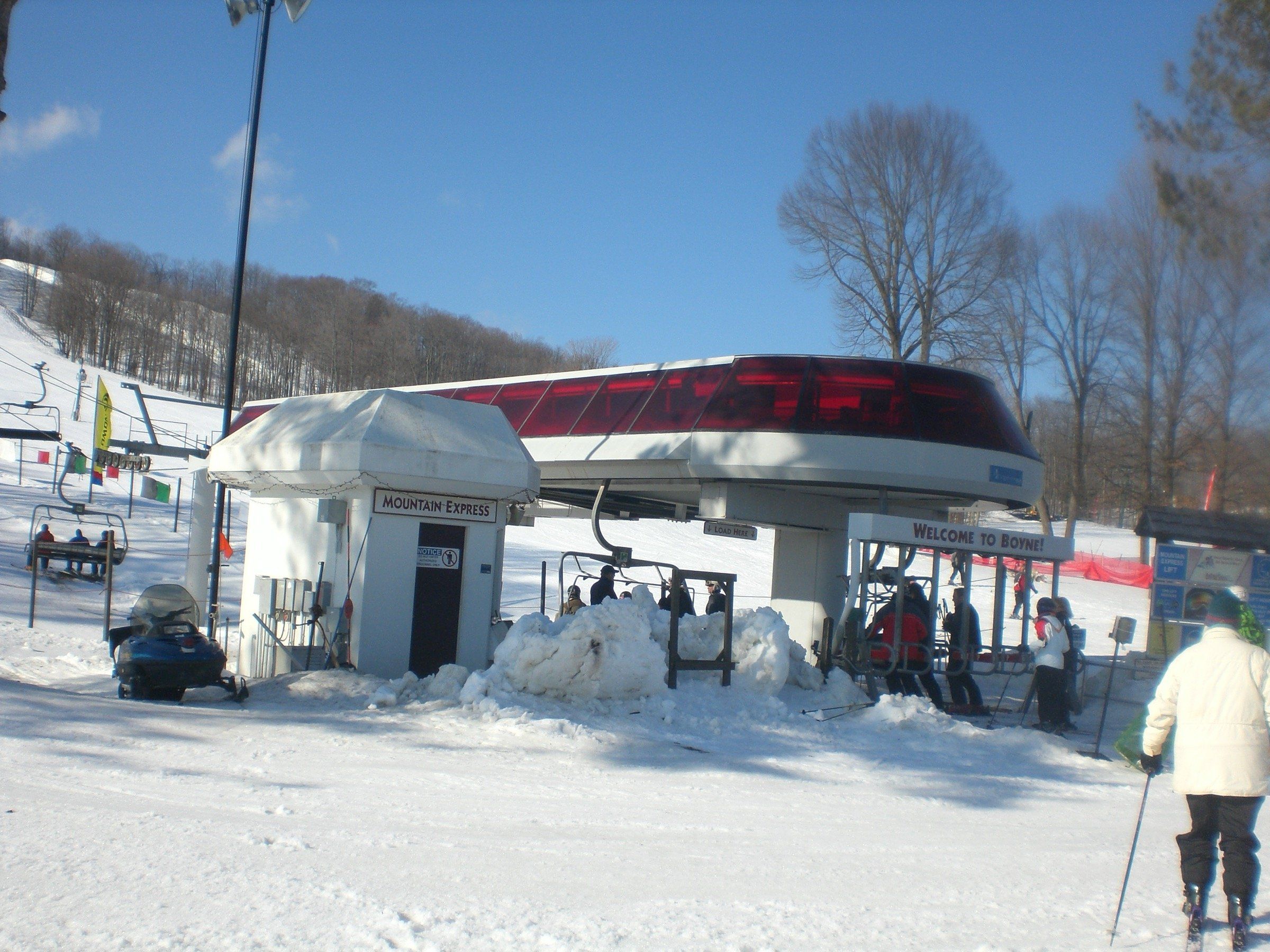
A big resort at Boyne Falls with 65 trails on 415 skiable acres, 35 km of cross-country trails, and SkyBridge Michigan and bike trails in the warm months.
Beach
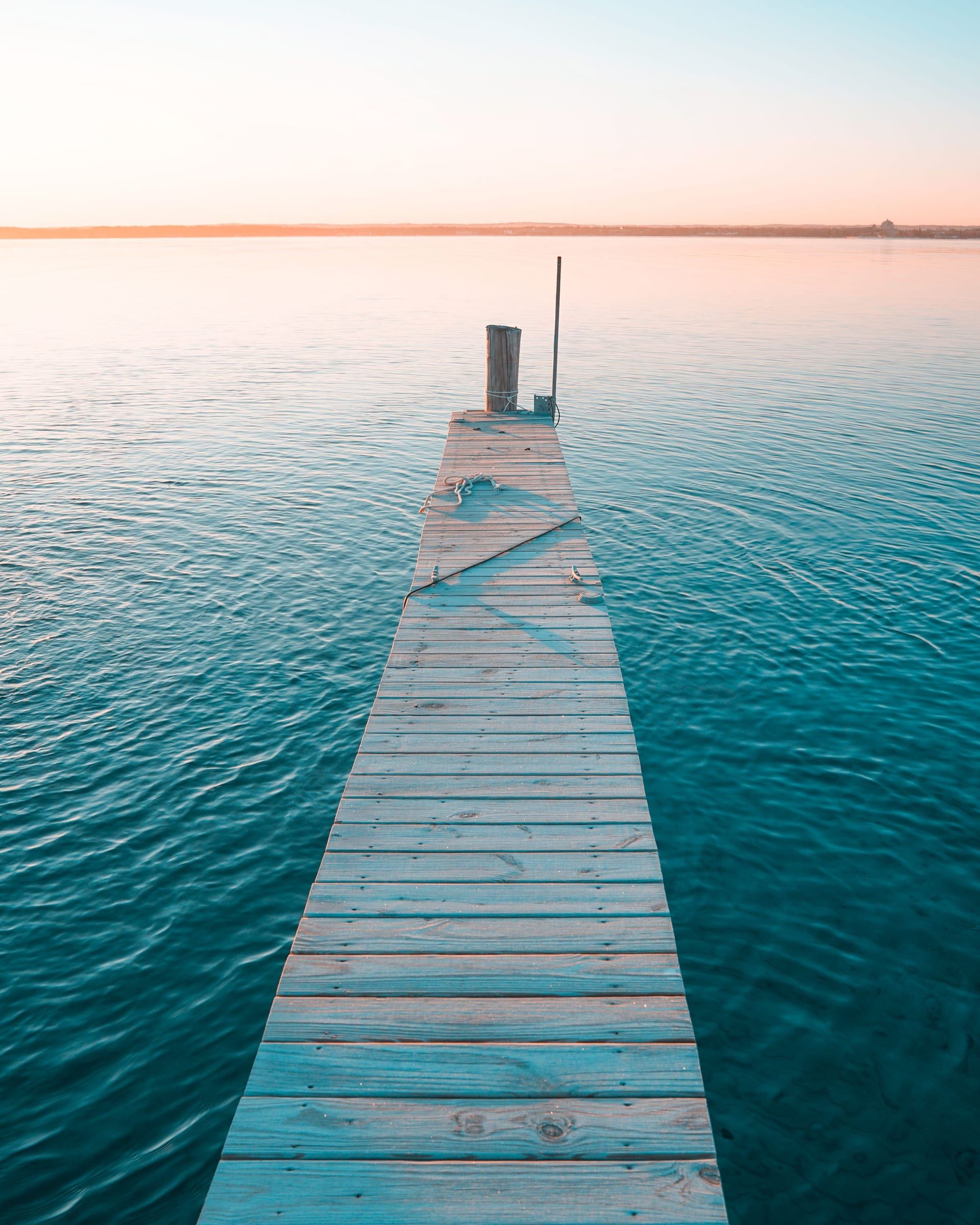
Traverse City's downtown beach on West Grand Traverse Bay, with a splash pad, playground, city marina and the TART trail running through.
Ski area
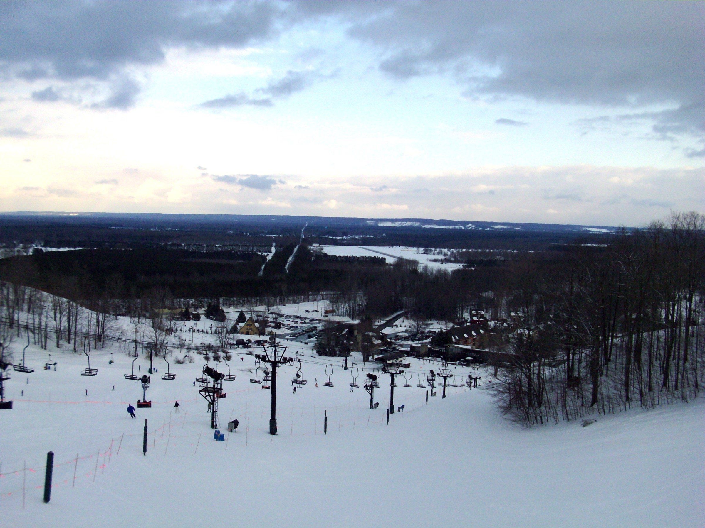
A four-season resort in Thompsonville with 59 downhill runs, 25 km of Nordic trails and groomed winter bike trails, plus singletrack and golf in summer.
Trail
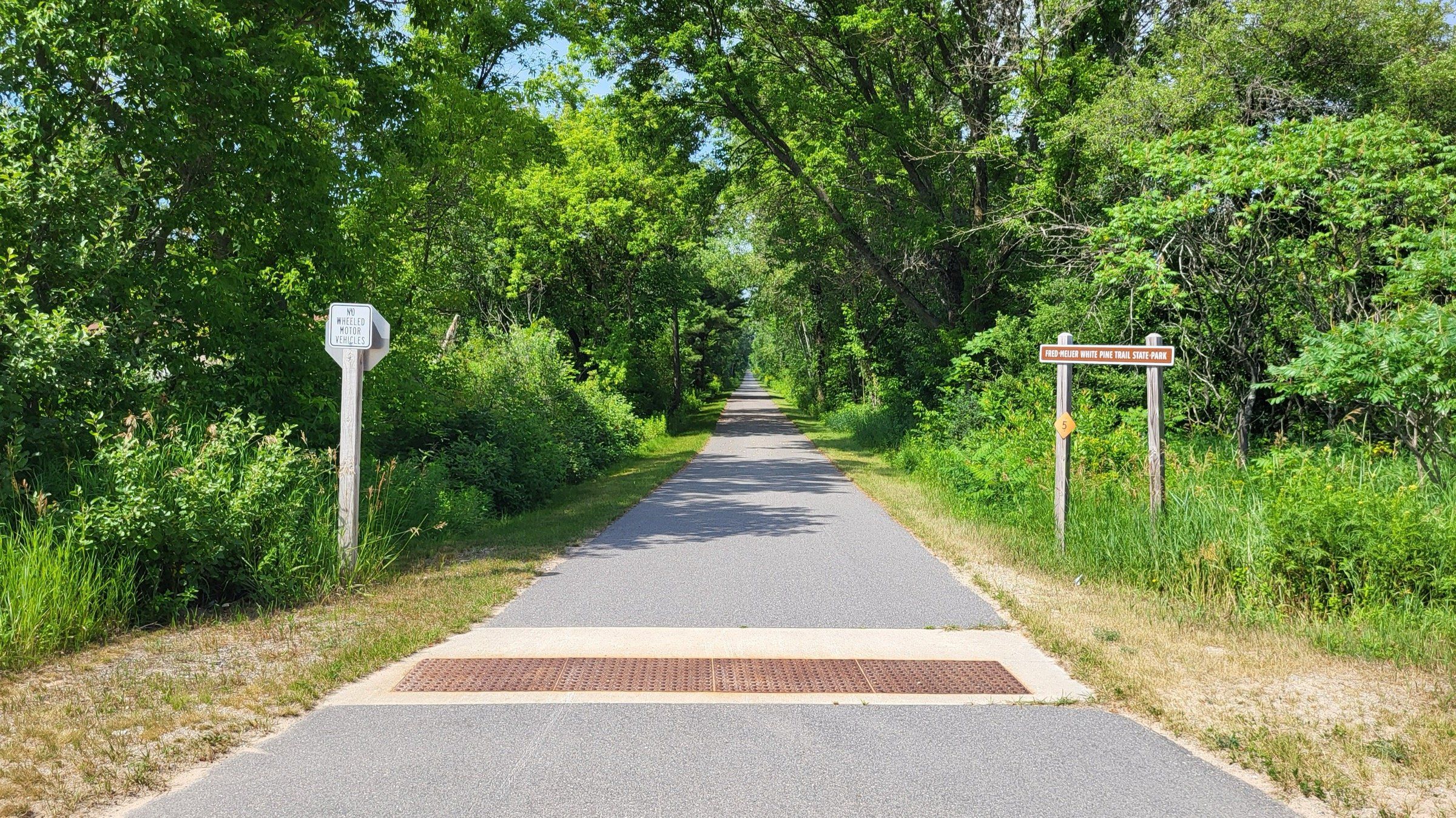
A 92-mile paved rail trail whose northern end is in Cadillac, for long rides south through towns, farmland and woods toward Grand Rapids.
Trail
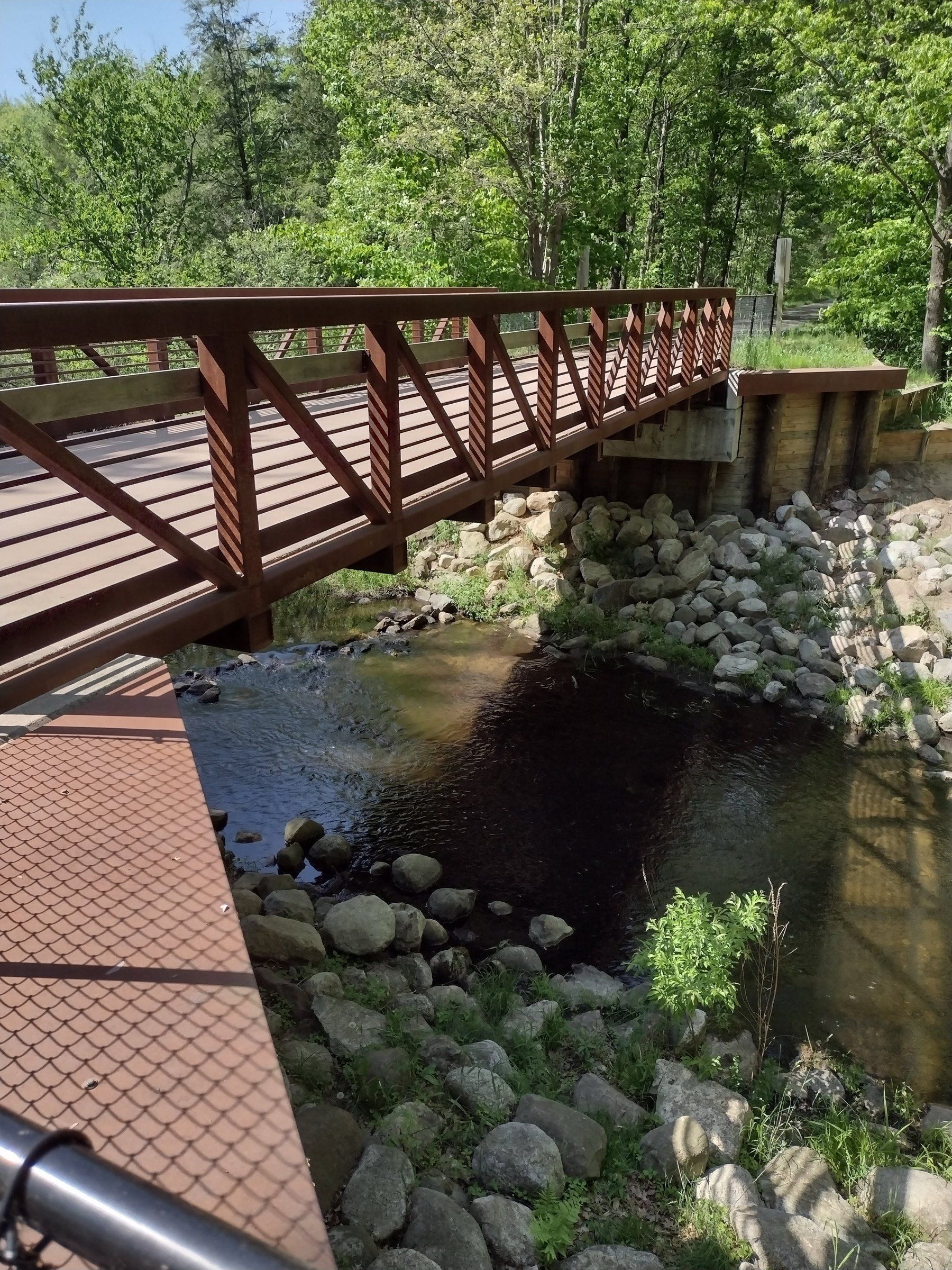
A 22-mile rail trail state park between Montague and Hart, through woods, orchards, farms and the village of New Era.
Trail
A paved, flat, 17-mile trail between Traverse City and Suttons Bay through farms and woods, groomed in part for skiing and fat biking in winter.
Attraction
More than half a million acres of public forest, run from Cadillac, with backpacking and ski trails, campgrounds and two National Scenic Rivers.
Ski area
A small community nonprofit ski hill in East Bay Township, east of Traverse City, with snow tubing in winter and zipline tours and trails in the warmer months.
Trail
About 12 paved miles along Muskegon Lake from Pere Marquette Park to the Muskegon Lake Nature Preserve, with views of the channel and South Pier light.
Trail
A paved rail-trail of about six miles east from Spring Lake to Nunica, linked to the Lakeside Trail loop through Spring Lake and Ferrysburg.
Ski area
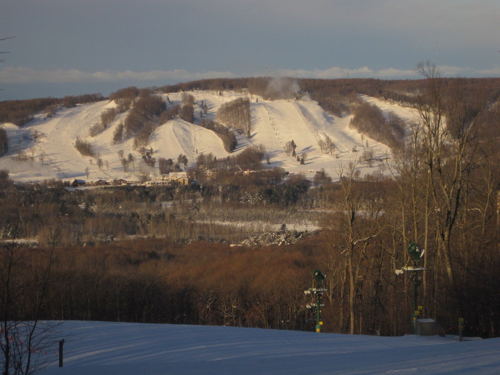
A ski resort near Harbor Springs with 55 runs on 435 acres and 552 feet of vertical, plus Nordic trails, and a bike park, hiking and golf in summer.
Trail
Traverse City's big woods trail for cross-country skiing, with loops from 3K to 25K, snowshoe loops, and singletrack for mountain and fat bikes.
State park
Cadillac's state park between Lake Mitchell and Lake Cadillac, with a campground, the Clam Lake Canal and the start of the White Pine Trail.
Biking: places on the map
26 places on an OpenStreetMap map
Towns an independent source (such as the DNR, the National Park Service or Pure Michigan) singles out for this. Listed by town size, not ranked.
Charlevoix & Petoskey
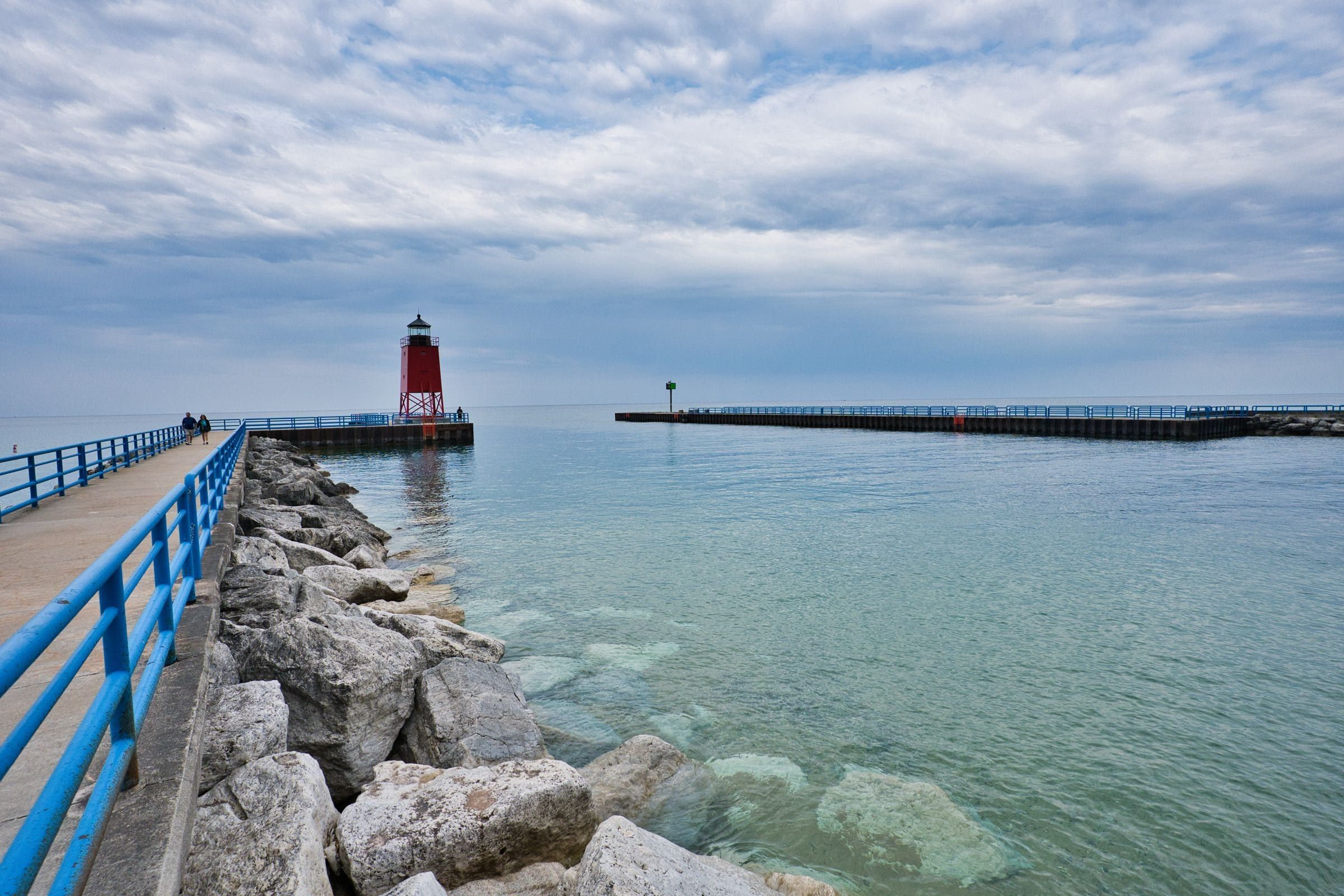
For boaters, beachgoers and first-timers: a harbor town where three lakes meet, with a summer drawbridge, a pier lighthouse and Earl Young's stone houses.
Benzie & Sleeping Bear
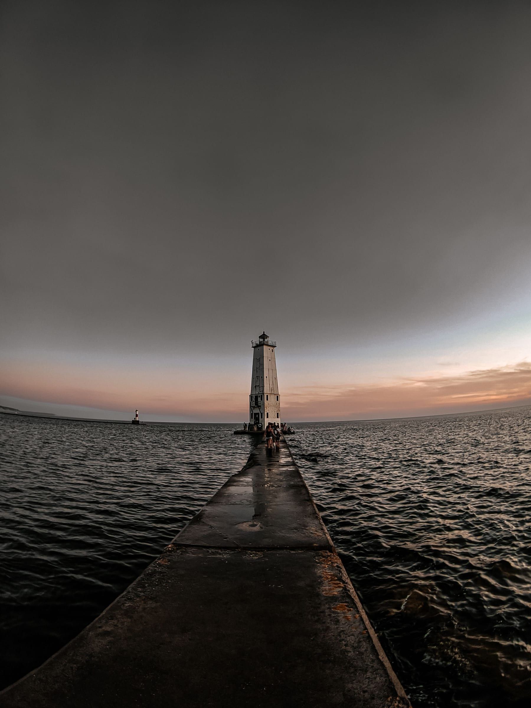
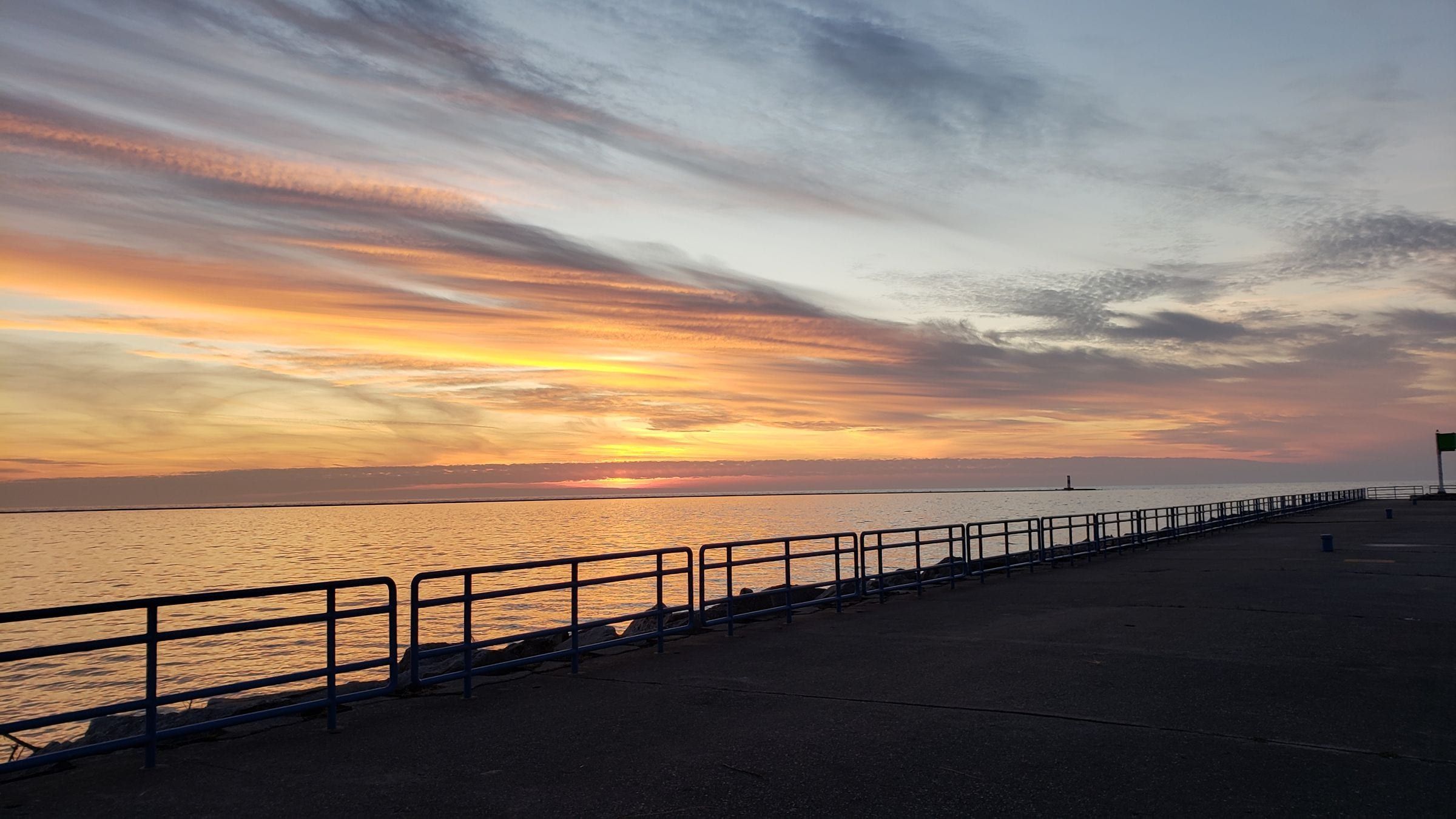
A beach-and-lighthouse harbor town: a Lake Michigan beach at the end of Main Street, a breakwater light off the sand and Point Betsie up the shore.
Ludington & Manistee
A Lake Michigan harbor town for beach and lighthouse trips, with the S.S. Badger car ferry and a big dune state park just north of town.
Mackinac & Straits
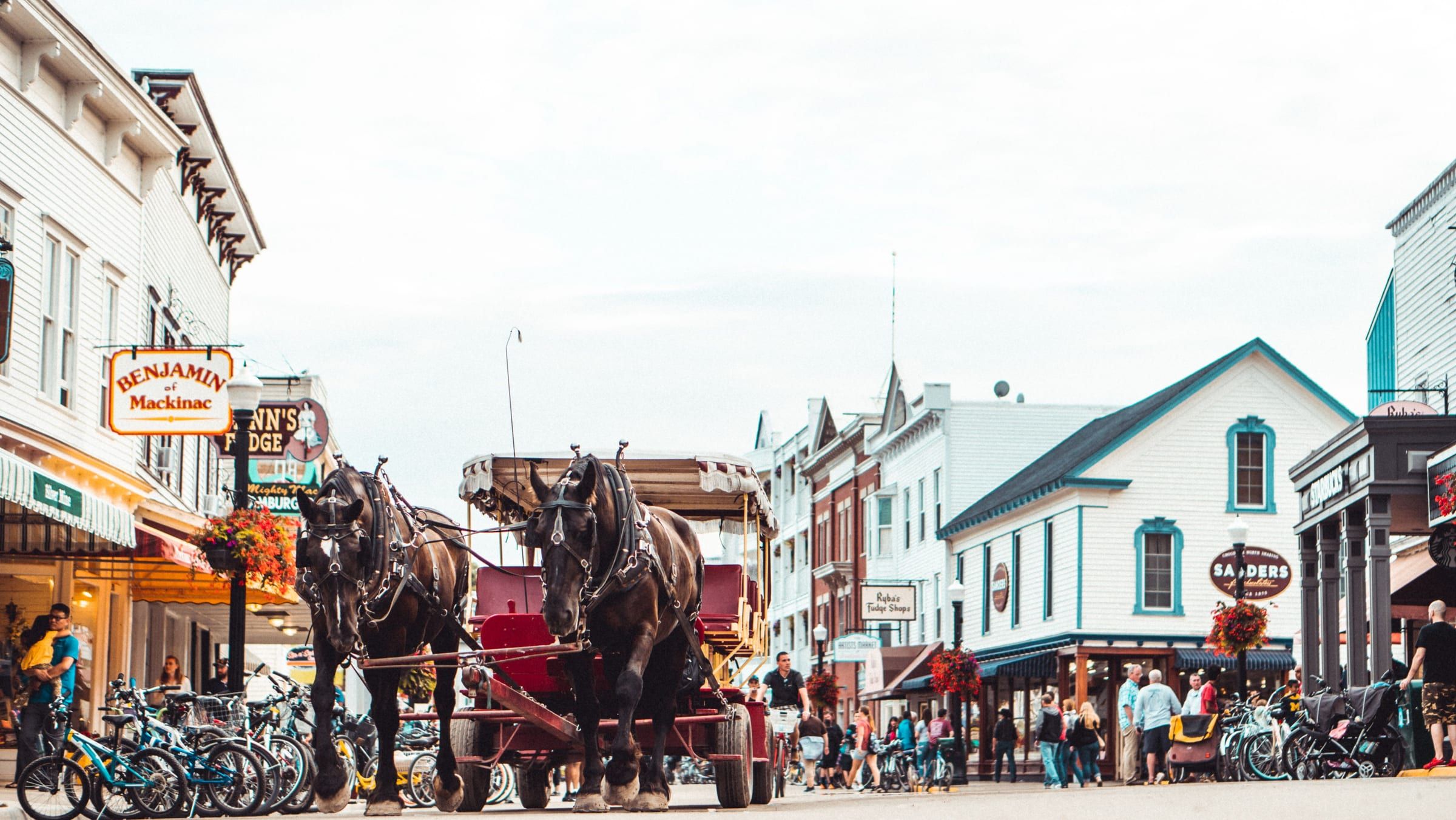
A car-free island in the Straits of Mackinac. Bike or walk from a busy harbor town to an old fort and a state park that covers most of the island.
Charlevoix & Petoskey
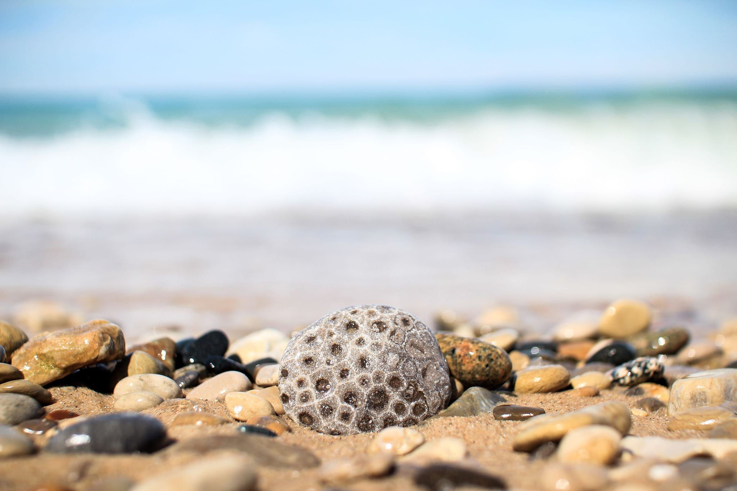
A walkable bay town for stone hunting, shopping the Gaslight District and riding the Little Traverse Wheelway, with historic Bay View next door.
Grand Traverse & Inland Lakes
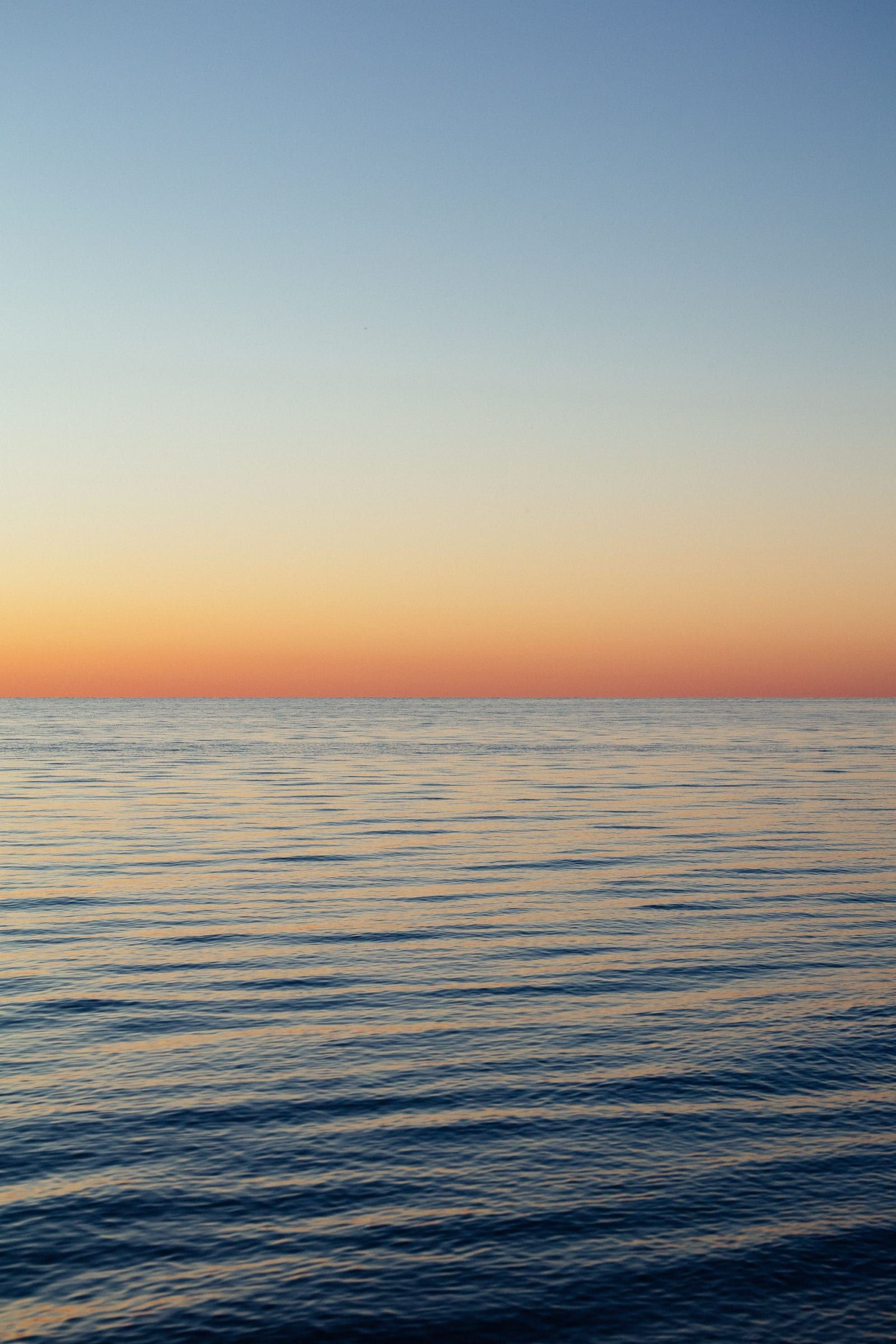
A bayfront city at the head of Grand Traverse Bay, with a walkable Front Street downtown, bay beaches, cherry orchards and two wine peninsulas close by.
Benzie & Sleeping Bear · Small town
For an easy Crystal Lake day: Benzie County's small seat has a sandy village beach, a public launch and the Betsie Valley Trail running through.
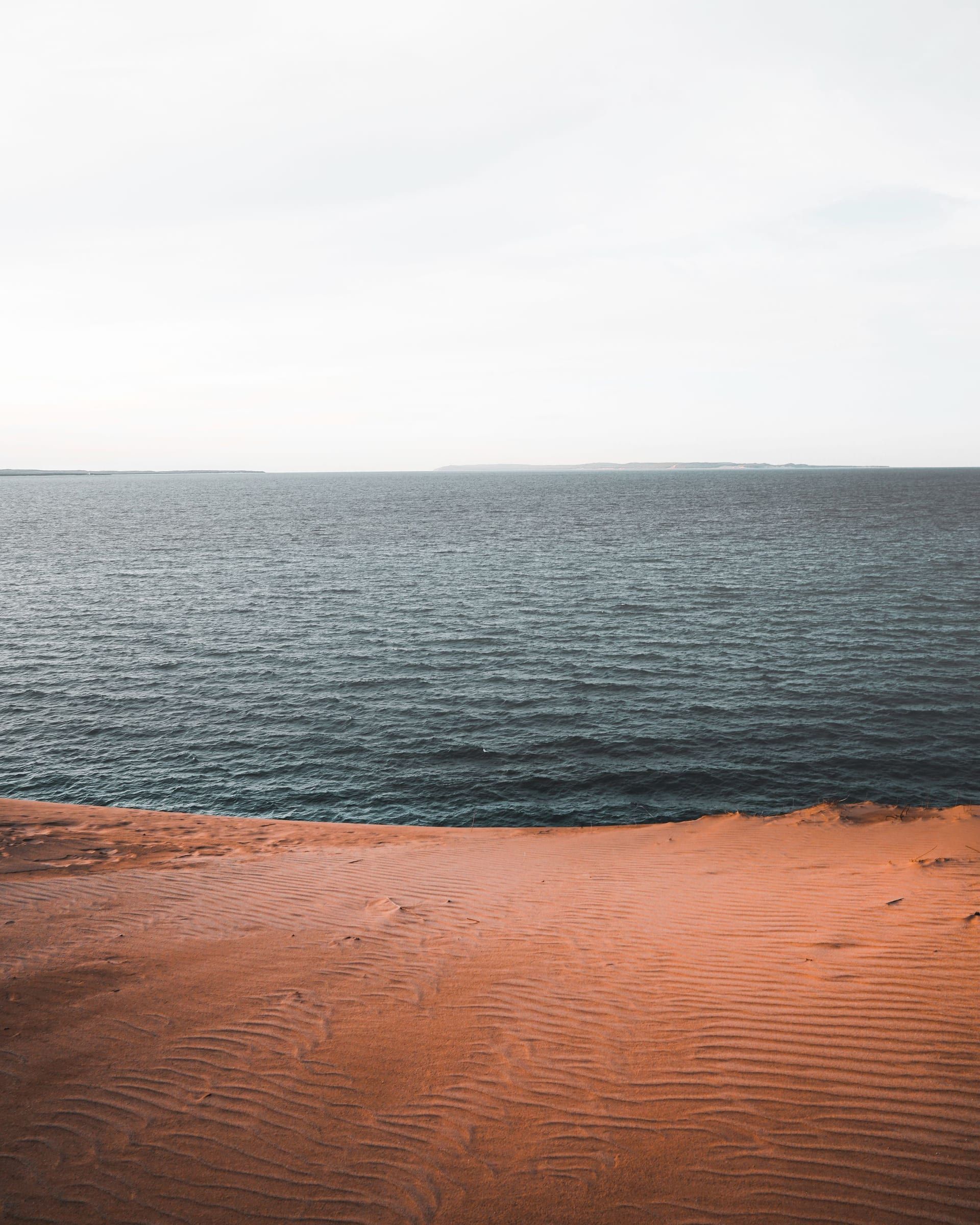
Benzie & Sleeping Bear · Small town
Your base for northern Sleeping Bear Dunes: a small town between Lake Michigan and Glen Lake, about 4 miles from the Dune Climb by trail.
Lake · Grand Traverse & Inland Lakes
Traverse City's in-town lake, open to all boating but built for a kayak, a cast or a walk around the 4-mile Boardman Lake Loop just south of downtown.
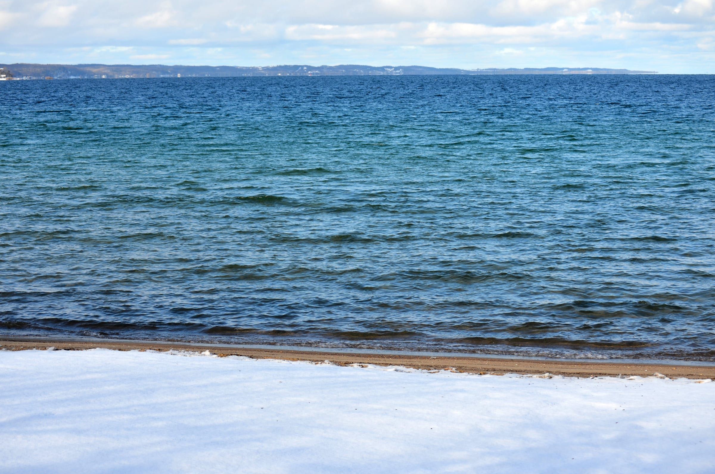
Bay · Grand Traverse & Inland Lakes
Traverse City's big water: a Lake Michigan bay with city beaches, five public harbors with slips, fuel at two, sailing, paddling and trout and salmon fishing.
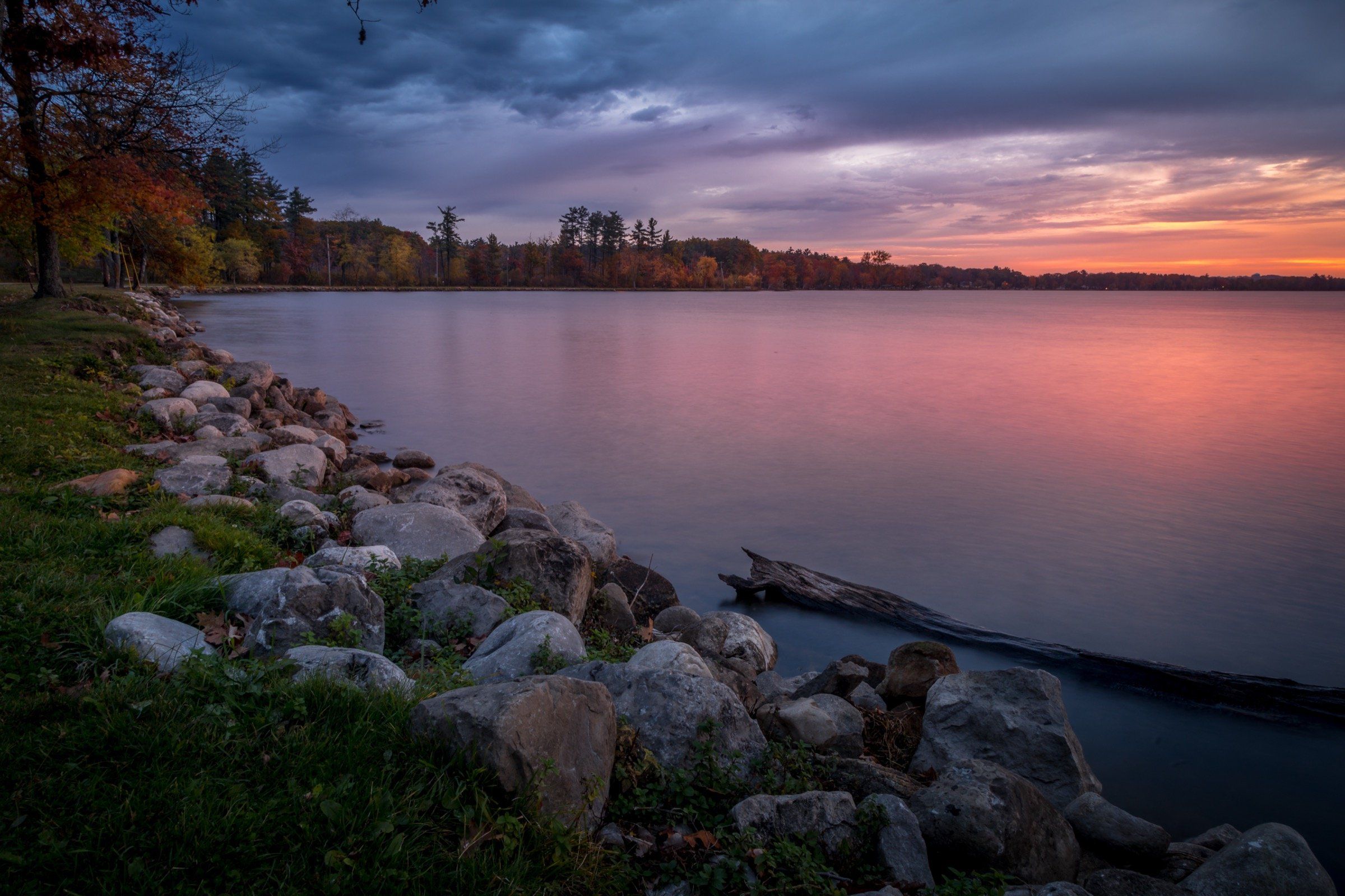
Lake · Grand Traverse & Inland Lakes
Cadillac's in-town, all-sports lake: 1,150 acres and 28 feet deep, a canal to Lake Mitchell, a 7.5-mile path and winter ice fishing for perch and walleye.
Lake · Southern Gateway
A bayou-lined lake by Grand Haven with marinas, a public beach and a river route to Lake Michigan. Boats 26 feet and up stay no-wake; kayak the coves.
May we count your visit with Google Analytics? It helps us see which guides are useful. Nothing is collected unless you choose Allow. Details
Your browser sends Global Privacy Control, so analytics stays off and we will not ask again.