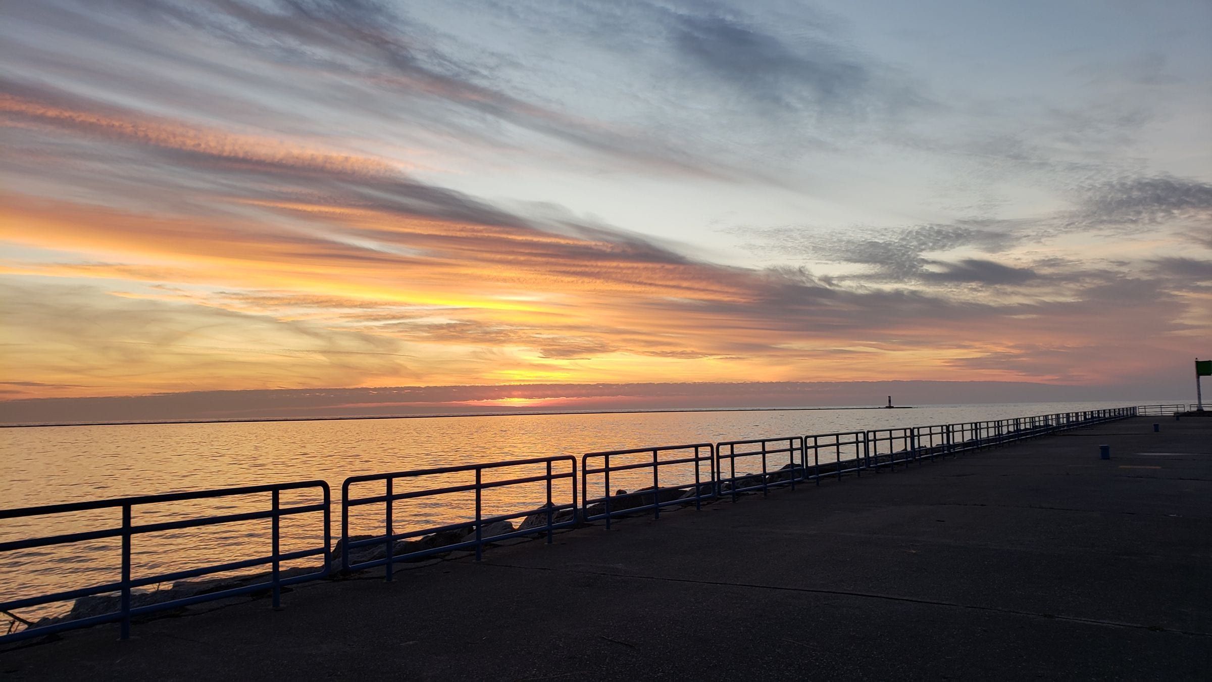
Ludington & Manistee
Ludington
A Lake Michigan harbor town for beach and lighthouse trips, with the S.S. Badger car ferry and a big dune state park just north of town.
About 6 miles away (straight line)
State park · Ludington & Manistee
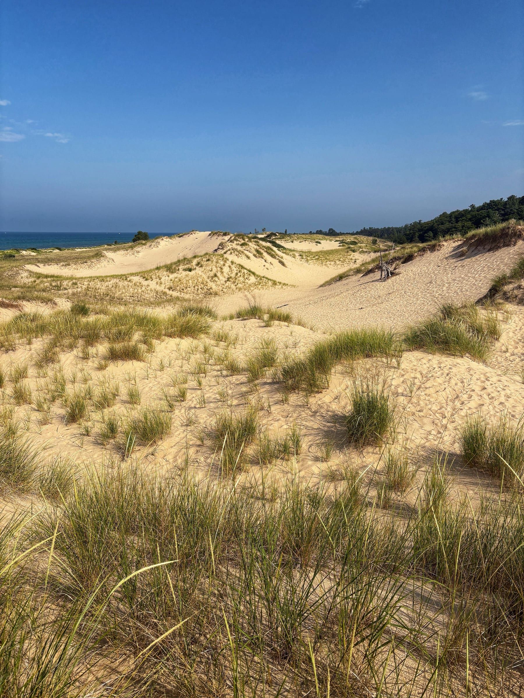
A big dune park between Hamlin Lake and 7 miles of Lake Michigan shore, with three campgrounds, 21 miles of trails and the walk to Big Sable Point Lighthouse.
Ludington State Park suits a trip where you want to swim, paddle, fish, hike and camp in one place. It fills the land between Hamlin Lake and 7 miles of sandy Lake Michigan shoreline north of Ludington, and dunes cover much of it. Drive in at the end of M-116 with a Recreation Passport on your car.
Families get two swim beaches, on Lake Michigan and on Hamlin Lake, each with buoyed swim areas, a beach house with restrooms and food, and floating beach wheelchairs. If you bring the dog, use the pet-friendly stretch of Lake Michigan beach between the beach house and the Big Sable River; most of the shoreline is closed to pets to protect piping plovers.
On the water, the park lists swimming beaches, a boat launch, a fishing pier and paddlesport rentals. Hamlin Lake is listed at 5,000 acres, and a one-mile stretch of the Big Sable River runs through the park for fishing, paddling and tubing.
On land, the park lists 21 miles of marked trails and bike rentals. The popular walk is the one to Big Sable Point Lighthouse: a 1.8-mile sand and gravel path, open to walkers and cyclists, with little shade along the way. For a break indoors, exhibits at the historic Lake Michigan Beach House cover Great Lakes and dune ecology.
Stay in one of the three campgrounds, in a mini cabin or at the rustic walk-in tent area.
One tradeoff right now: the Skyline Trail and the amphitheater are closed. Work on the trail began in September 2026 to protect the dunes and improve safety, funded largely by a $3.3 million Michigan State Parks Endowment Fund grant.
In winter the park is listed for cross-country skiing and snowshoeing.
Map of Ludington State Park
4 places on an OpenStreetMap map
Ludington & Manistee
A Lake Michigan harbor town for beach and lighthouse trips, with the S.S. Badger car ferry and a big dune state park just north of town.
About 6 miles away (straight line)
Straight-line distances, not driving distances.
Lighthouse
An 1867 lighthouse, 112 feet tall and banded black and white, on the Lake Michigan shore in Ludington State Park. You reach it on a 1.8-mile walk or ride.
About 2 miles away (straight line)
Beach
Ludington's free city beach on Lake Michigan: 2,500 feet of sand, a playground, mini golf, accessible paths and the pier to the North Breakwater Light.
About 6 miles away (straight line)
Attraction
A 1953 coal-fired steamship and National Historic Landmark that carries passengers and vehicles across Lake Michigan between Ludington and Manitowoc, Wisconsin.
About 7 miles away (straight line)
May we count your visit with Google Analytics? It helps us see which guides are useful. Nothing is collected unless you choose Allow. Details
Your browser sends Global Privacy Control, so analytics stays off and we will not ask again.