Benzie & Sleeping Bear · Small town
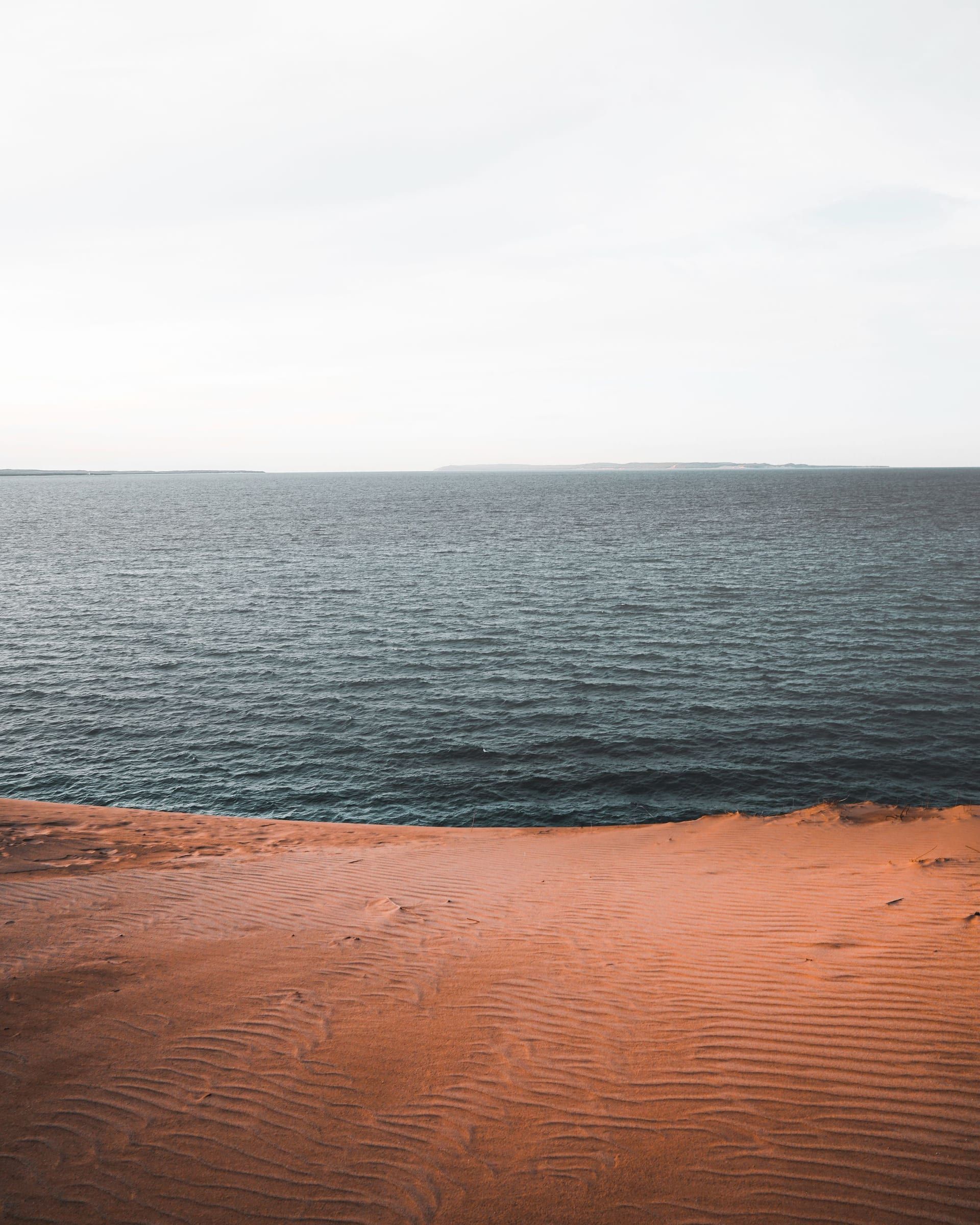
Glen Arbor
Your base for northern Sleeping Bear Dunes: a small town between Lake Michigan and Glen Lake, about 4 miles from the Dune Climb by trail.
About 7 miles away (straight line)
National park · Benzie & Sleeping Bear
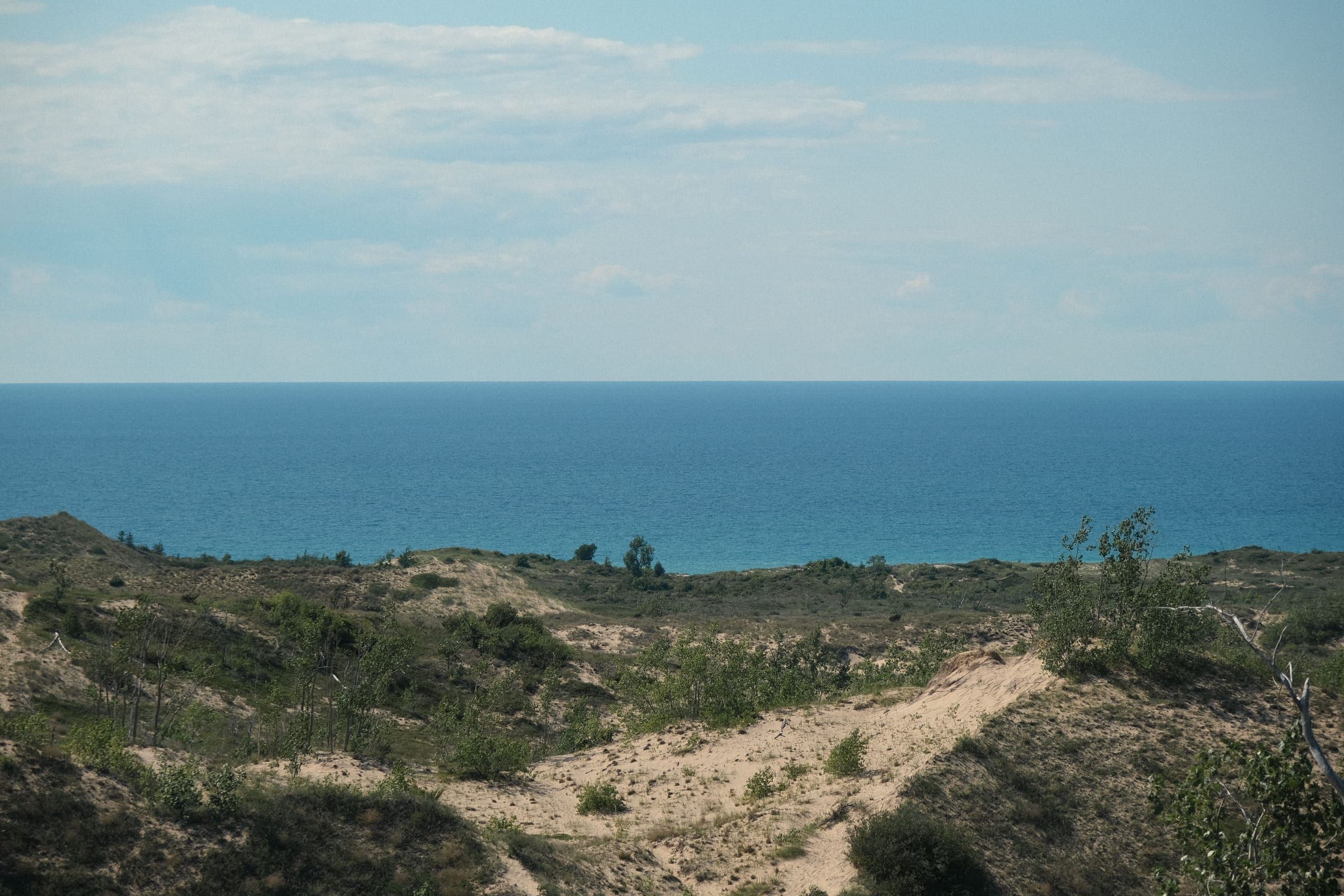
Dunes, high bluffs, beaches, inland lakes and two islands along 65 miles of Lake Michigan shoreline in Benzie and Leelanau counties.
Sleeping Bear Dunes is where you see Lake Michigan’s dune country at full scale: 71,318 acres of open dunes, high bluffs, forests and inland lakes along 65 miles of shoreline.
Start at the Philip A. Hart Visitor Center in Empire, which lists year-round hours and sells the park entrance pass you need once you stop and use the park (see licenses and passes). M-22 runs through the park, and the M-109 loop north of Empire reaches the busiest stops. Then work through the main mainland stops: the Pierce Stocking Scenic Drive, the Dune Climb, the historic village of Glen Haven and its Maritime Museum, and the Sleeping Bear Heritage Trail, a mostly paved path that links Empire, Glen Arbor and points north.
For the big view, go to the Lake Michigan Overlook on the scenic drive, where the tallest dune bluff rises about 450 feet above the water.
If you plan to swim, know the tradeoff: Lake Michigan stays cold all summer, while inland lakes such as Glen Lake and North Bar Lake usually run warmer.
The park spans Benzie and Leelanau counties, and Congress authorized it on October 21, 1970. It takes in 65 miles of shoreline (35 of them on the mainland), North and South Manitou islands, 26 inland lakes and about 105 miles of trails. It also protects a long human story, including a lighthouse, farmsteads, a life-saving station and hundreds of historic structures.
How to plan Sleeping Bear Dunes: passes, roads, the big sights, beaches and safety, the Manitou Islands, hikes and floats, plans by length and winter.
Sleeping Bear Dunes is 65 miles of Lake Michigan shoreline in Benzie and Leelanau counties: open dunes, bluffs about 450 feet above the water, clear inland lakes, two offshore islands and a long maritime story. The main mainland stops sit between Empire and Glen Arbor, with quieter beaches and the Platte River to the south.
Give it two days if you can. One day covers the scenic drive, the Dune Climb and a beach. A second day lets you add Glen Haven, a hike and a swim or float without rushing. A long weekend lets you take in the south end too.
Base yourself in Glen Arbor for the northern half, with the Heritage Trail leaving from town, or in Empire, which has the park’s main visitor center and sits closest to the scenic drive. Frankfort suits a trip that leans toward the south end, Point Betsie and Crystal Lake.
You need a park entrance pass once you stop and use the park: a trailhead, a beach access, the Dune Climb, the scenic drive. Driving through on the county and state roads is free. Your Michigan Recreation Passport does not count here; this is a federal park with its own pass.
A vehicle pass covers everyone in the car and lasts seven days. Anyone 16 or older arriving on foot or by bike needs their own pass, and children under 16 do not need one. America the Beautiful passes are accepted; bring photo ID with yours.
Buy it ahead online at Recreation.gov, where the seven-day pass can be bought up to six months out, or in person at the Philip A. Hart Visitor Center in Empire, which sells passes all year. Campgrounds and some park sites sell them in season, the park lists QR codes at trailheads and beach accesses for buying a weekly pass on your phone, and a few area businesses sell them too. Staffed park locations do not take cash, so bring a card. Keep the pass where it can be seen in your car, since a car without one on display can be fined.
Fees and the full list of pass types are on the NPS fees page; our licenses and passes guide sets them beside the Michigan passes.
M-22 runs through most of the park and reaches every main area. About 2 miles north of Empire, the M-109 loop leaves M-22 and passes the Pierce Stocking Scenic Drive, the Dune Climb, Glen Haven and D. H. Day Campground before rejoining M-22 in Glen Arbor.
From Traverse City, take M-72 west to Empire; the visitor center is just off M-72 as you reach the village. The closest airport is Cherry Capital Airport in Traverse City, an estimated 44 minutes’ drive to Empire and 50 minutes to Glen Arbor. From the south, follow M-22 through Frankfort, and in about 10 miles you reach the park’s Platte River Campground. Our estimated drive times to Empire are about 3 hours from Grand Rapids, about 5 hours 15 minutes from Detroit and about 6 hours 30 minutes from Chicago.
Without a car, look at BATA, the Traverse City area bus system. Its Route 11 runs from Traverse City to Glen Arbor and carries a few bikes, and BATA points riders to its on-demand Link service for Empire and Leland. The park has also listed summer bus stops at the Dune Climb, D. H. Day Campground, the scenic drive and Empire. Schedules have changed between seasons, so check BATA for this year’s service before you plan around it.
Parking is the pinch point in summer. The Lake Michigan Overlook on the scenic drive has limited parking, and the park suggests cooler days, midweek, or early or late in the day. Platte River Point and Peterson Beach fill on busy days, and Point Betsie’s free lot fills too. Leave any trailer at the Shauger Hill lot before you start the scenic drive.
The easiest way around the northern half is the Sleeping Bear Heritage Trail, about 22 mostly paved miles from Empire to Bohemian Road (County Road 669) for walkers, cyclists, wheelchairs and strollers. The Glen Arbor to Dune Climb stretch is about 4 miles and relatively flat, through Glen Haven. The roughly 3 miles from Empire to the scenic drive are the hilliest. Bikes are allowed on the Heritage Trail and park roads but not on hiking trails, dunes or beaches.
Phone service is unreliable in the dunes and wilderness areas, so tell someone your plans before a long hike.
Dune Climb The open sand slope beside M-109 that you climb as far as you like, with a picnic area, restrooms and the Dune Center bookstore at the base. From the top you look back over Glen Lake; Lake Michigan is out of sight. The Dunes Trail beyond it is about 3.5 miles round trip over steep hills to the lake and back, and the park estimates 3 to 4 hours, so carry water and agree on a turnaround time.
Pierce Stocking Scenic Drive A 7.4-mile one-way loop through forest and dunes with 12 stops. Give it at least an hour and a half to two hours. Stop 9, the Lake Michigan Overlook, is the big view from the park’s tallest dune bluff, about 450 feet above the lake. Going down the bluff is discouraged: the climb back up is very strenuous and causes erosion. The drive is open to cars from late spring to late fall.
Empire Bluff Trail A 1.5-mile round trip through beech-maple forest to a boardwalk and deck high above Lake Michigan, just south of Empire. A few hills and stairs make it moderate, and most people do it in under an hour. On a clear day you see Point Betsie, South Manitou Island and part of the dune plateau. Leashed dogs are allowed. See the Empire page for the rest of the village.
Glen Haven and the Maritime Museum A historic village on the M-109 loop and the Heritage Trail. The museum fills the 1901 Sleeping Bear Point Life-Saving Station, with a wheelhouse room looking over the Manitou Passage and a boathouse of rescue boats. The blacksmith shop and general store are open and staffed from Memorial Day to Labor Day, and the Cannery boat museum is here too. Pets are not allowed on the museum grounds.
Point Betsie Lighthouse Just south of the park, on the shore north of Frankfort: an 1850s lighthouse with a museum, a tower you can climb and a public beach beside it. Tours are seasonal, so check the Friends of Point Betsie schedule. Pair it with the south end of the park.
Platte Point Where the Platte River meets Lake Michigan at the end of Lake Michigan Road, the river mouth forms a sandy spit full of kids and waders, with a view across Platte Bay toward the Empire bluffs. The south lot has restrooms and changing rooms, though water and restrooms may only be open from Memorial Day to Labor Day. Lots fill on busy summer days.
The whole Lake Michigan shoreline in the park is open to swimming. Here is how the named beaches compare.
For families
Quieter and more exposed
Lake Michigan safety. There are no lifeguards in the park. Rip currents are not common here but can form at any beach with breaking waves, and Lake Michigan is the deadliest of the Great Lakes for drownings. If one pulls you out, do not fight it: swim parallel to shore, then head in, or float and wave for help. Check the beach forecast and the park’s swim risk level before you go in, keep kids within arm’s reach in life jackets, and when in doubt, stay out. The big lake stays cold all summer, so ease in. Glass is not allowed on park beaches. Beach fires are allowed on mainland Lake Michigan beaches between the water’s edge and the first dune. On Glen Lake, swimmer’s itch shows up in summer; it is worst in the morning in warm shallows, so swim later and towel off.
North and South Manitou are part of the park, reached by the Manitou Island Transit ferry from Fishtown in Leland. In a normal season the ferry runs roughly May to October, takes about 1.5 hours each way, carries campers to both islands and offers day trips to South Manitou. Reservations are required.
There was no ferry in 2026. The park closed the island docks for construction, and the ferry operator ran no trips. The docks and villages are expected to reopen in 2027, but nothing is confirmed yet, so check with the park and the ferry before you plan an island day.
When service returns, South Manitou is the easier island: dunes, about 10 miles of pebble beaches, a grove of old-growth white cedars, a lighthouse and the Francisco Morazan shipwreck. On a day trip your time on the island is limited, so know when the boat leaves. Campers stay at designated campgrounds with a backcountry permit and carry all their gear, since there is no transport on the island. North Manitou is about 15,000 acres of wilderness for backcountry campers, with a permit, stoves only and no open fires. Pets are not allowed on the islands. Bring rain gear, sturdy boots and bug spray, and arrive at the dock early.
A park pass is required to use the trails. A few to start with, by length as the park lists them:
Bring at least 2 liters of water per person on the dunes, wear shoes because the sand gets hot, stay back from bluff edges and off steep slopes that can slide, and check for ticks afterward. In deer rifle season, November 15 to 30, wear bright colors.
Paddling. Two easy rivers, both suited to families:
With kids. The Dune Climb is the classic, since you can turn back at any point. Then pick a creek or a shallow lake: North Bar Lake, Esch Beach, Good Harbor at County Road 669 or Little Glen. The Glen Arbor to Dune Climb stretch of the Heritage Trail is the flattest bike ride, and the Maritime Museum suits kids curious about shipwrecks. Walk, do not run, down the Dune Climb; tumbles cause injuries.
With dogs. Pets must be on a leash no longer than 6 feet. Leashed dogs are welcome on the Empire Bluff, Pyramid Point and Cottonwood trails, and on several stretches of beach, including Esch Road Beach north to Empire and Glen Haven Beach east to Glen Arbor. Dogs are never allowed on the face of the Dune Climb, at North Bar Lake, on the Maritime Museum grounds or on Sleeping Bear Point Trail, or in backcountry camping areas. From mid-April to mid-August, beaches in the south end (including Peterson Beach and Platte Point) and parts of Glen Haven Beach close to pets to protect nesting piping plovers. In winter, dogs are kept off the ski trails (see below). The rules shift through the year, so read the park’s pet page before you go.
Accessibility. The park lists:
Confirm current facilities with the park if you are counting on one.
One day. Stop at the visitor center in Empire for your pass and a map. Drive the Pierce Stocking Scenic Drive in the morning, before the Lake Michigan Overlook lot fills. Climb the Dune Climb, then swim at North Bar Lake or Glen Haven Beach, and catch the sunset from the Empire Bluff Trail or Empire Beach.
Two days. Day one as above. On day two, ride the Heritage Trail from Glen Arbor to Glen Haven and the Maritime Museum, and on to the Dune Climb if you skipped it. In the afternoon, float the Crystal River or swim at Little Glen, or hike Pyramid Point for the island view.
A long weekend. Add the south end. Start at Point Betsie, then head north to Platte Point and float the Platte from the M-22 livery, or take an easy walk on the Platte Plains trails and swim at Esch Beach. Our Sleeping Bear long weekend lays out a three-day route from Frankfort to Glen Arbor.
Summer is peak season: everything is open and staffed, and the inland lakes are at their warmest. Start early, go midweek if you can, and buy your pass ahead. Glen Haven’s buildings and the Maritime Museum are staffed from Memorial Day to Labor Day.
Spring is quiet. Cherry blossoms and wildflowers along M-22 usually peak in mid-May, though piping plover closures start on some beaches in mid-April.
Fall is a strong second choice. M-22 makes a self-guided color drive, and fall is a prime time to hike and bike. The scenic drive closes to cars in late October or early November, depending on weather, so check its status late in the season.
Winter. The park stays open. The visitor center is open all year except Thanksgiving, Christmas and New Year’s Day, with hours that change by season. The Dune Climb and hiking trails stay open.
Stay in the towns around the park and let the park be your day.
Each town page lists its places to stay, and the Glen Arbor and Frankfort guides cover where to eat.
Hours, menus and schedules change, so check with each place before you go.
Map of Sleeping Bear Dunes National Lakeshore
4 places on an OpenStreetMap map
Benzie & Sleeping Bear · Small town
Your base for northern Sleeping Bear Dunes: a small town between Lake Michigan and Glen Lake, about 4 miles from the Dune Climb by trail.
About 7 miles away (straight line)
Benzie & Sleeping Bear
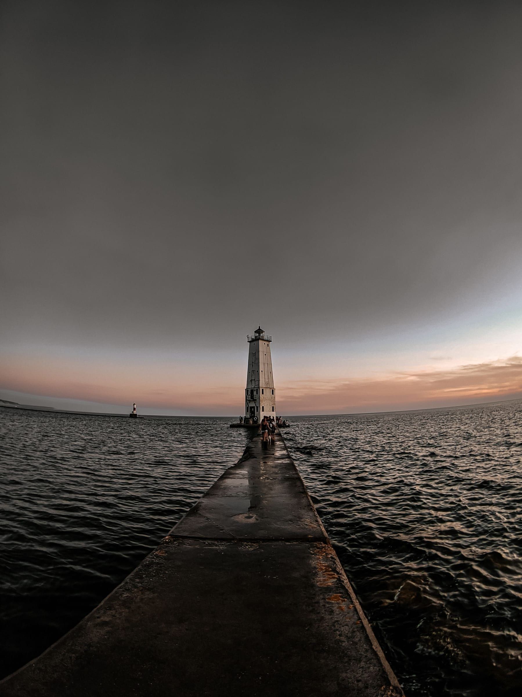
A beach-and-lighthouse harbor town: a Lake Michigan beach at the end of Main Street, a breakwater light off the sand and Point Betsie up the shore.
About 15 miles away (straight line)
Benzie & Sleeping Bear · Small town
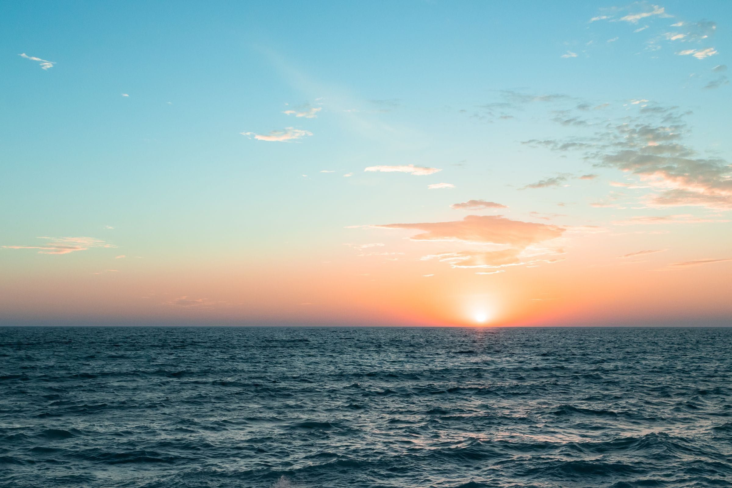
Your first stop at Sleeping Bear Dunes: a small M-22 village with the park's main visitor center, a sunset beach and the start of the Heritage Trail.
Under a mile away (straight line)
Straight-line distances, not driving distances.
Scenic drive
A 7.4-mile one-way loop in Sleeping Bear Dunes National Lakeshore with 12 stops and overlooks of Lake Michigan, the Glen Lakes and the dunes.
About 3 miles away (straight line)
Attraction
A steep, open sand dune on M-109 in Sleeping Bear Dunes National Lakeshore, with a picnic area at its base and a hard trail over the dunes to Lake Michigan.
About 5 miles away (straight line)
Trail
A mostly paved trail of about 22 miles through Sleeping Bear Dunes National Lakeshore, linking Empire, the Dune Climb, Glen Haven, Glen Arbor and Port Oneida.
About 5 miles away (straight line)
May we count your visit with Google Analytics? It helps us see which guides are useful. Nothing is collected unless you choose Allow. Details
Your browser sends Global Privacy Control, so analytics stays off and we will not ask again.