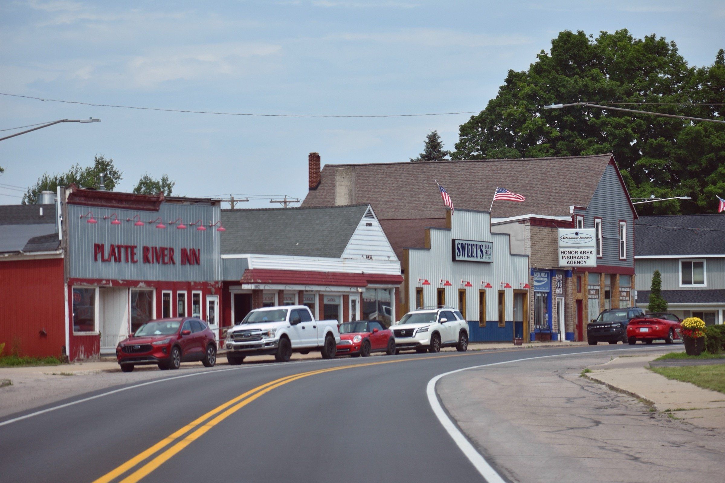
Benzie & Sleeping Bear · Small town
Honor
For paddlers, anglers and fall salmon watchers: a small Benzie County village on US-31 with the Platte River running through and the state hatchery upstream.
About 8 miles away (straight line)
River · Benzie & Sleeping Bear
An easy, clear, shallow river for tubing and paddling through Sleeping Bear Dunes to Platte Bay, with fall salmon and steelhead in fall and spring.
The Platte is the easy float in Sleeping Bear Dunes. It is shallow, clear and quick with no rapids, and the livery at the M-22 crossing lists tube, canoe and kayak rentals for the drift down toward Lake Michigan. It is one of the park’s most popular summer outings, so expect company from late June through August. Anglers come in fall for salmon and steelhead, and again in spring for steelhead.
The river begins in Grand Traverse County and runs west across Benzie County, passing the village of Honor, flowing into and out of Platte Lake, widening through Loon Lake and ending at Platte Bay on Lake Michigan. Its lower miles lie inside Sleeping Bear Dunes National Lakeshore.
Pick your float. The one-hour trip runs above Loon Lake, and the two-hour trip runs from the fish weir to the lake. Near the mouth the current picks up, and on breezy days waves can greet you at the big lake.
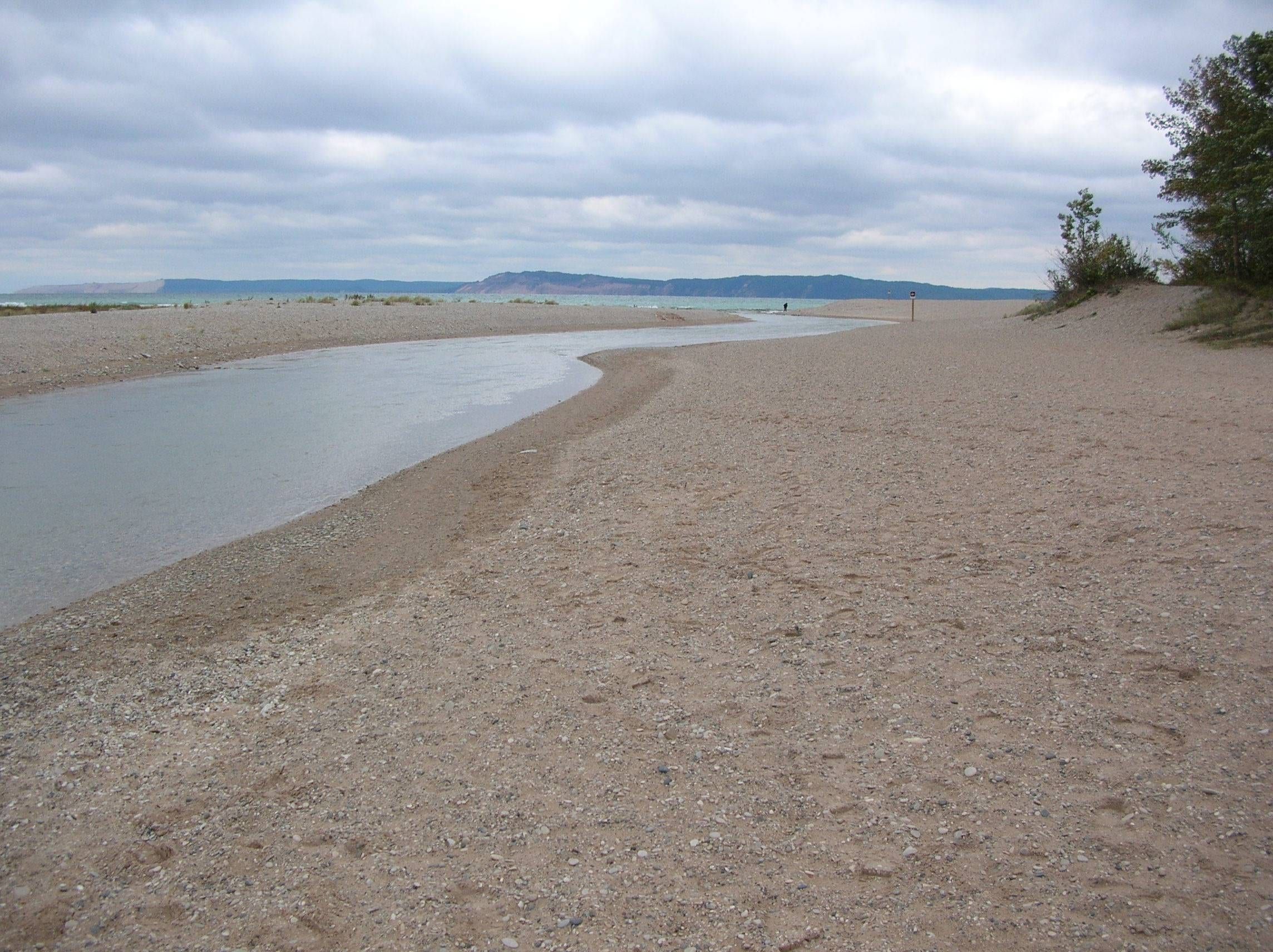
Finish at Platte River Point, where a sandy spit looks out across Platte Bay toward Empire Bluffs and the Sleeping Bear Dunes. The beach area is listed with accessible parking, restrooms and changing rooms; confirm before you go if you need them. The map point marks the river mouth at Platte Bay.
Upstream in Honor, Homestead Township’s 52-acre Platte River Park protects more than 1,500 feet of undeveloped river frontage.
Motorboats must hold slow, no-wake speed from Lake Michigan up through Loon Lake to the last channel marker at Platte Lake.
At the mouth, a sandy spit on Platte Bay is a good place to wade and cool off on a hot day. Water and restrooms may only be open from Memorial Day to Labor Day.
Platte River Point, at the end of Lake Michigan Road, has a paved trailer launch to Lake Michigan and a separate take-out for river floaters beside the south parking lot. El Dorado, a half mile east on Lake Michigan Road, is a popular put-in for a float of about a mile to the lake. Parking fills on busy summer days, and an automated fee station is at the south lot.
The Platte is shallow, clear and moves at a good pace with no rapids. For a short float of about an hour, start at the Platte River Picnic Area or the M-22 livery and end just above Loon Lake. For a longer float of about two hours, start at the fish weir below Loon Lake and end where the river meets Lake Michigan, with a car shuttle to Platte Point. From mid-August through October you must portage around the state fish weir.
The Platte River in Benzie County is good water for brown trout, coho salmon and steelhead. The time to see salmon at the lower weir is mid-September to late October. Steelhead come in with the fall runs and again in spring, when the DNR has reported fresh fish at El Dorado and the mouth. Check current Michigan DNR rules before fishing.
Coho salmon every year from 2015 through 2026, rainbow trout every year in that span except 2021, and brown trout in 2021 and 2023.
Platte River Point
Paved trailer ramp to Lake Michigan at the end of Lake Michigan Road, plus a separate take-out for floaters next to the south lot restrooms. Lots fill on busy summer days, and there is an automated fee station at the south lot.
El Dorado put-in
Popular tubing put-in about a mile above Lake Michigan, with parking and a toilet. Shuttle a car to Platte Point for the take-out.
Platte River State Forest Campground
Carry-down launch for canoes and kayaks on the upper river. You need a Recreation Passport.
Veterans Memorial State Forest Campground
Carry-down launch for canoes and kayaks on the upper river, with a small gravel lot. You need a Recreation Passport.
Lists tubes, kayaks, canoes, paddleboards and rafts for the lower Platte, from the M-22 bridge near Honor.
Listed because their own sites say they rent on this water. Not an endorsement, and we have no ties to them. Check with them for what is available.
Fishing, launching at a state site or parking at a state park? See licenses and passes for what you need before you go.
Anything not listed here is unverified. Do not assume public access across private riverbanks. Check the Michigan DNR boating access listings and the current fishing regulations.
You can float the Platte in spring, summer and fall.
The river is crowded from late June through August and quieter in early summer and September. At the mouth, a sandy spit on Platte Bay is popular for wading and swimming on hot days.
Fall floats are scenic, and salmon run up to the lower weir from mid-September into late October.
Map of Platte River
2 places on an OpenStreetMap map
The pin marks one well-known point on the river, not its full course.
Riverfront homes and cabins are listed by the local rental managers and booking sites below.
Mid-range
Honor MotelFeatured by Traverse City Tourism in its Along the Roadside article (2024) · Listed by Pure Michigan, the state travel bureau
Search all hotels in Honor: Booking.com · Expedia · Hotels.com · Google Hotels
We don’t take bookings or earn anything from these links. Rates, availability and any booking problems are handled by the booking site.
Benzie & Sleeping Bear · Small town
For paddlers, anglers and fall salmon watchers: a small Benzie County village on US-31 with the Platte River running through and the state hatchery upstream.
About 8 miles away (straight line)
Straight-line distances from the map point.
National park
Dunes, high bluffs, beaches, inland lakes and two islands along 65 miles of Lake Michigan shoreline in Benzie and Leelanau counties.
About 7 miles away (straight line)
Lake · Benzie & Sleeping Bear
An all-sports lake of about 2,500 acres near Honor: ski, tube and sail, then fish for walleye and smallmouth. The no-wake Platte River runs on to Lake Michigan.
Lake · Benzie & Sleeping Bear
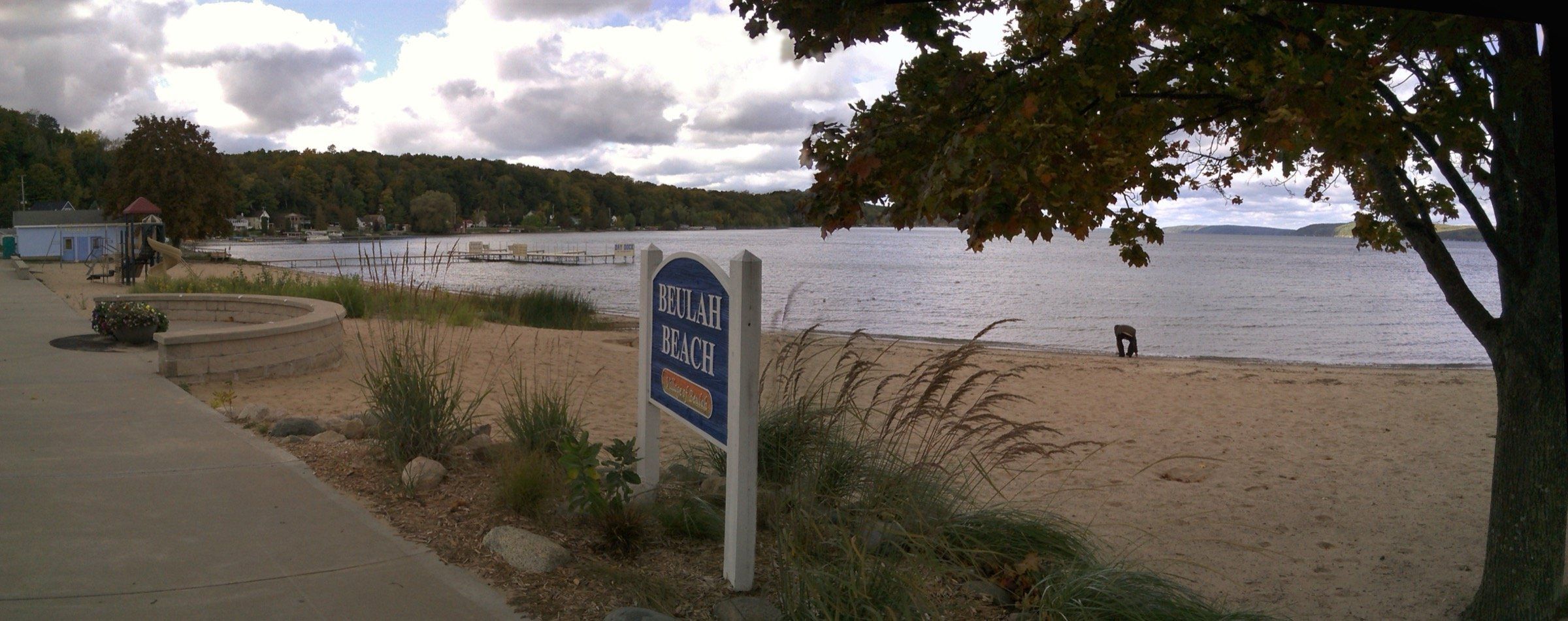
An all-sports lake: 9,854 acres, 165 feet deep and very clear. Swim at the sandy Beulah beach, fuel up at the marina, fish for trout and perch.
Lake · Benzie & Sleeping Bear
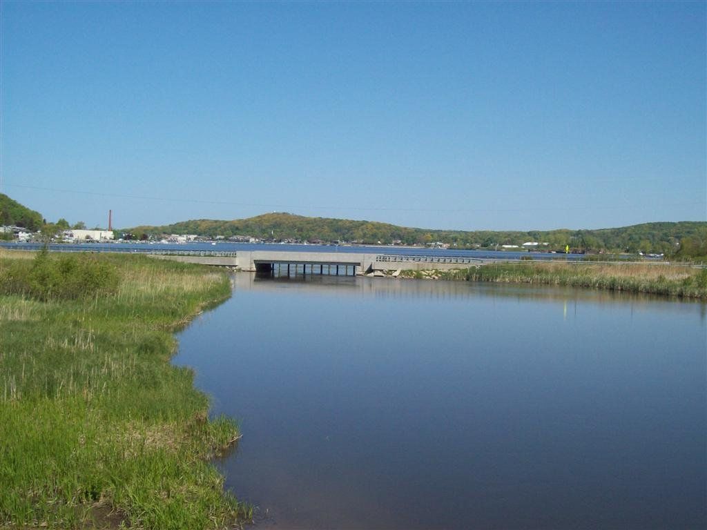
Frankfort's no-wake harbor at the mouth of the Betsie River, with marinas on both shores, a big city launch and a short run to Lake Michigan.
May we count your visit with Google Analytics? It helps us see which guides are useful. Nothing is collected unless you choose Allow. Details
Your browser sends Global Privacy Control, so analytics stays off and we will not ask again.