Benzie & Sleeping Bear · Small town
Glen Arbor
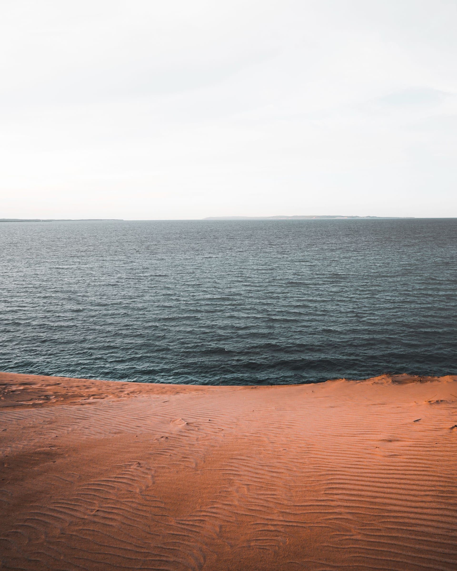
Your base for northern Sleeping Bear Dunes: a small town between Lake Michigan and Glen Lake, about 4 miles from the Dune Climb by trail.
About 4 miles away (straight line)
Scenic drive · Benzie & Sleeping Bear
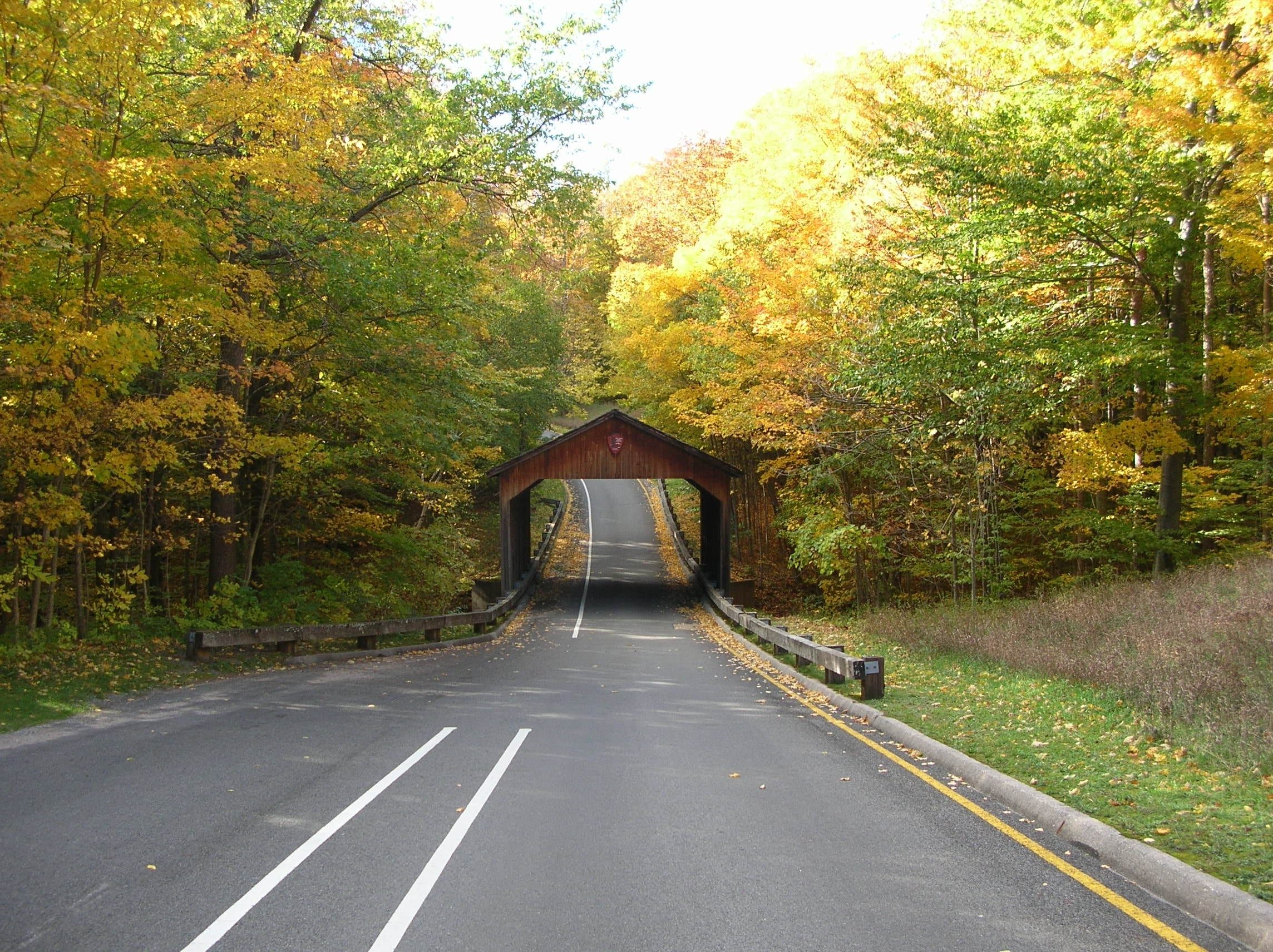
A 7.4-mile one-way loop in Sleeping Bear Dunes National Lakeshore with 12 stops and overlooks of Lake Michigan, the Glen Lakes and the dunes.
The Pierce Stocking Scenic Drive is how you see Sleeping Bear from above by car: a 7.4-mile one-way paved loop through forest and dunes north of Empire, with 12 numbered stops. They range from picnic areas and a covered bridge to overlooks of Lake Michigan, the Glen Lakes and the dunes.
The entrance is off M-109 north of Empire, and you need a park entrance pass (see licenses and passes). Leave any trailer at the Shauger Hill lot before you start. Give it at least an hour and a half to two hours if you stop at each one.
Make time for stop 9, the Lake Michigan Overlook, on the park’s tallest dune bluff, about 450 feet above the lakeshore. The tradeoff is the climb: it and the neighboring Sleeping Bear Dune Overlook are reached by a steep asphalt path and boardwalk. If steep paths are hard for you, the North Bar Lake Overlook (stop 11) is fairly flat, and the park lists accessible toilets there.
The road is named for Pierce Stocking, a lumberman and self-taught naturalist who bought forest land south of Glen Haven in 1948. He planned a road to the top of the dunes in the early 1960s and opened it to the public in 1967 as Sleeping Bear Dunes Park, which he ran until his death in 1976. The drive became part of the national lakeshore in 1977 and was later renamed for him.
Map of Pierce Stocking Scenic Drive
4 places on an OpenStreetMap map
Benzie & Sleeping Bear · Small town
Your base for northern Sleeping Bear Dunes: a small town between Lake Michigan and Glen Lake, about 4 miles from the Dune Climb by trail.
About 4 miles away (straight line)
Straight-line distances, not driving distances.
Attraction
A steep, open sand dune on M-109 in Sleeping Bear Dunes National Lakeshore, with a picnic area at its base and a hard trail over the dunes to Lake Michigan.
About 2 miles away (straight line)
Trail
A mostly paved trail of about 22 miles through Sleeping Bear Dunes National Lakeshore, linking Empire, the Dune Climb, Glen Haven, Glen Arbor and Port Oneida.
About 2 miles away (straight line)
Beach
A Lake Michigan beach on Sleeping Bear Bay at Glen Haven Historic Village, with seasonal restrooms, picnic areas, the Cannery Boat Museum and loaner sand wheelchairs.
About 3 miles away (straight line)
May we count your visit with Google Analytics? It helps us see which guides are useful. Nothing is collected unless you choose Allow. Details
Your browser sends Global Privacy Control, so analytics stays off and we will not ask again.