2 days · Best in spring or summer or fall
The Straits and Mackinac Island in two days
A day in Mackinaw City for the bridge and Colonial Michilimackinac, then a day on car-free Mackinac Island by bike and on foot.
This trip suits families, cyclists and history fans who want the Straits without a lot of driving. Spend one day on the mainland for the fort and the bridge, and one day on Mackinac Island, where there are no cars and you get around on foot, by bike or behind a horse.
Day 1: Mackinaw City. Start at Colonial Michilimackinac, the 1715 French fort rebuilt on its original ground. All sixteen buildings are open, interpreters fire muskets and cannon, and from early June to mid-August you can watch archaeologists at work on a dig that has run every summer since 1959. The fort sits in Michilimackinac State Park, right under the Mackinac Bridge, so the bridge views come with it. Old Mackinac Point Lighthouse is nearby on the Lake Huron shore. For a swim, the village has two sandy, shallow beaches on Cecil Bay just west of town. Downtown is busy with restaurants, souvenir stores and fudge shops. After dark, drive west of downtown to the Headlands, an International Dark Sky Park. Sleep in Mackinaw City.
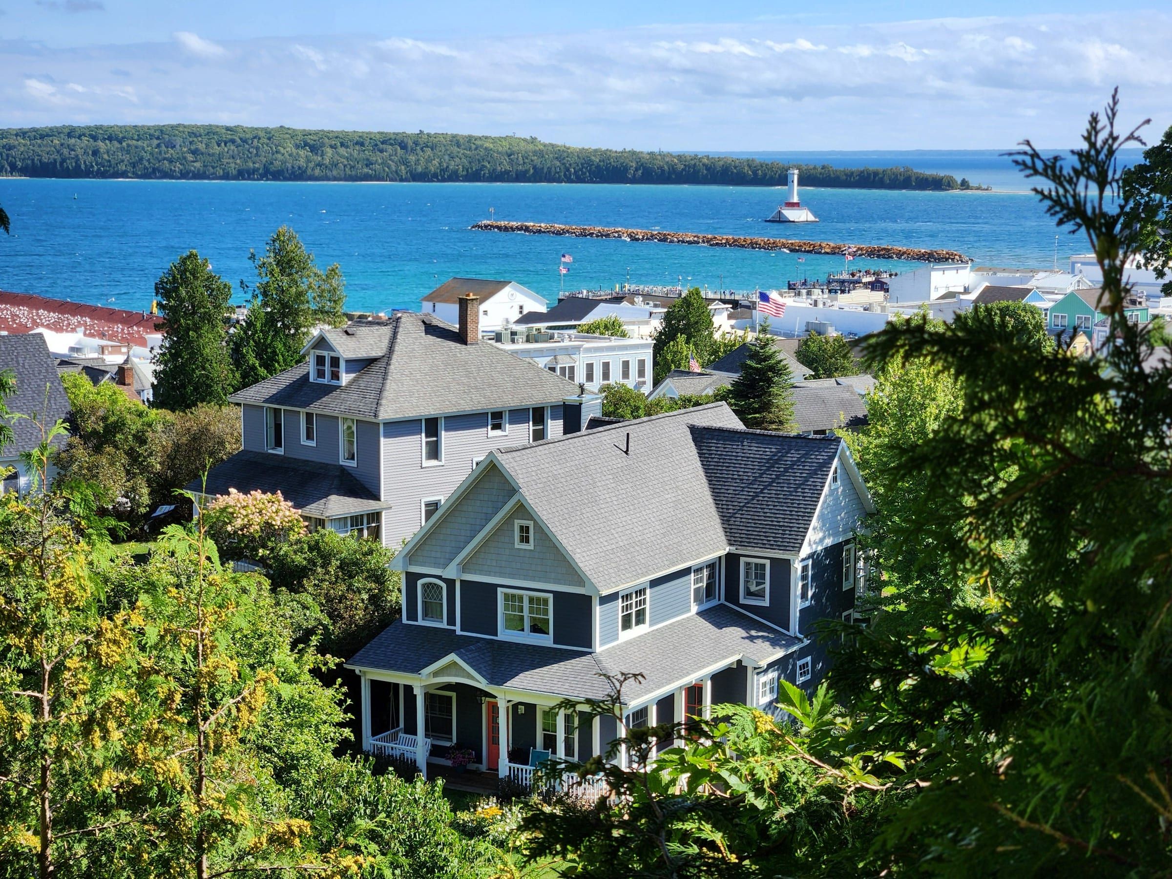
Day 2: Mackinac Island. Take an early passenger ferry and leave the car in a mainland lot. Rent a bike downtown or bring your own, and ride M-185 around the island, 8.2 fairly level miles through Mackinac Island State Park. British Landing, about halfway around, is the popular place to wade; the shore is rocky, so pack water shoes, and the water can stay very cold into early summer. Stop at Arch Rock on the east side. In the afternoon, climb up to Fort Mackinac on the bluff, and use the same ticket for the historic buildings downtown. Most of the island’s restaurants are downtown near the docks. Take a late ferry back, or stay the night on the island. Our Mackinac Island visitor guide covers ferries, bikes and carriages in detail.
The tradeoff. Summer is peak season on the island, with ferries running as often as every 15 minutes and crowds to match. In late spring and fall, boats run about hourly, the forts are open only from early May into October, and island shops close for winter in late October, so check what is open.
Book ahead. If your dates fall during the Lilac Festival in early June, book a room early. On Labor Day morning the Bridge Walk closes the bridge to public traffic, so plan around it if you are driving across. E-bikes are banned in the state park and the city without authorization, so leave yours at home.
The route
Day 1
Park once; the fort, the bridge views and the ferry docks are all in town.
Seasonal, early May into October. Come early June to mid-August to see the dig.
The bridge passes right over Michilimackinac State Park at its southern base.
Day 2
Passenger ferry from Mackinaw City. Leave the car and any e-bike on the mainland.
M-185 circles the island for 8.2 fairly level miles. Inland routes climb.
See it from the shore road, or climb 207 steps for the view from the top.
Seasonal. Your ticket also covers several downtown historic buildings.
Route map: The Straits and Mackinac Island in two days
7 places on an OpenStreetMap map
Practical notes
- Ferry schedules and historic site hours change by season. Confirm with the operators before you go.
- Drive times on this site are estimates. Use a map app for current routes and road conditions.