
Grand Traverse & Inland Lakes
Cadillac
For lake and trail people in every season: two lakes, a state park beach between them, the end of the White Pine Trail and a big winter trail network.
About 4 miles away (straight line)
Lake · Grand Traverse & Inland Lakes
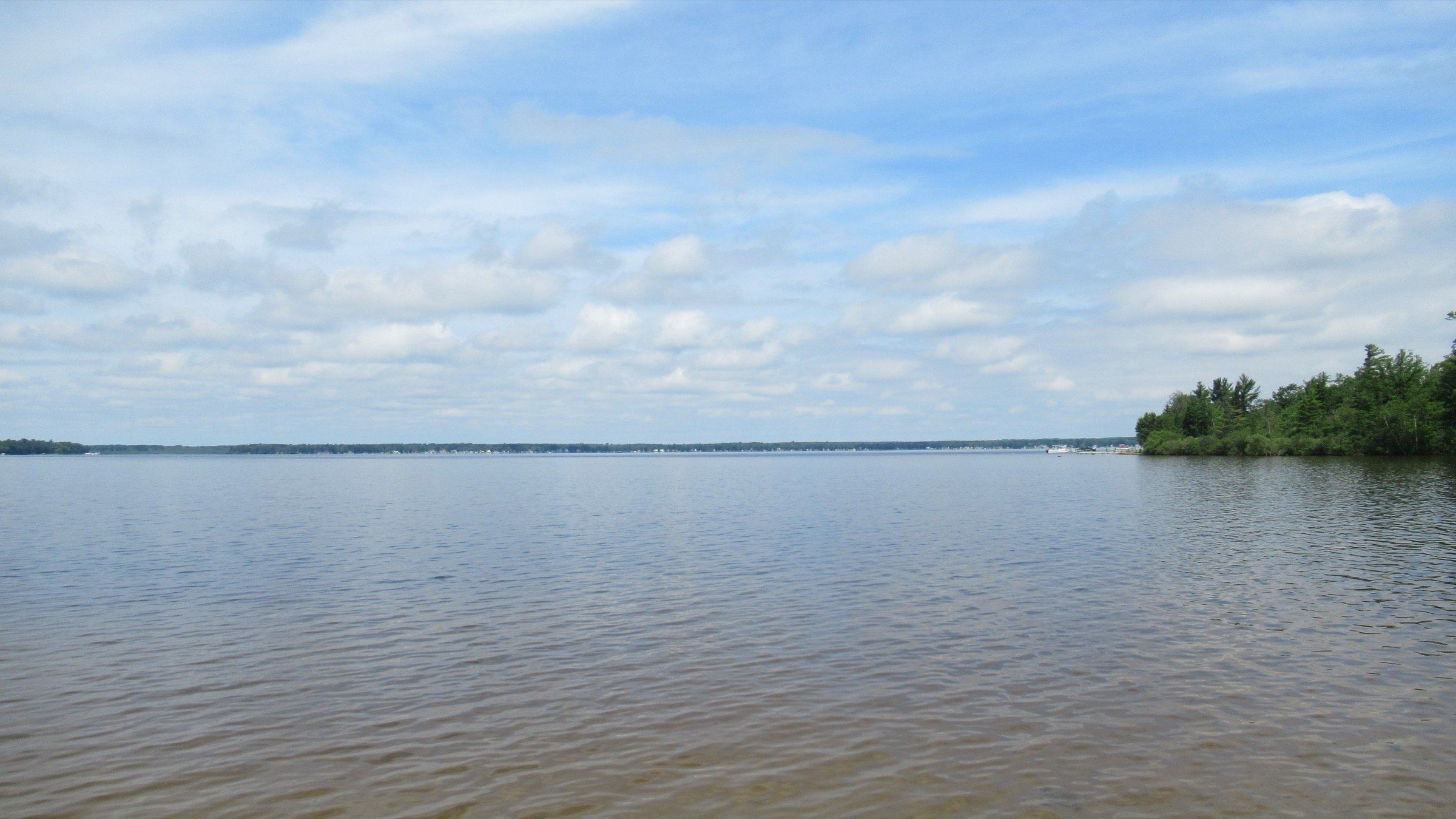
A broad, shallow, all-sports lake west of Cadillac: 2,496 acres, a state park beach and campground, a canal to paddle and crappie and bluegill through the ice.
Photo: Notorious4life, Wikimedia Commons (CC0 1.0)
Lake Mitchell is a camp-and-paddle lake, and an all-sports one with no local limits, so skiing and tubing are fine once you know where the shallows are. You get a state park with a campground and swim beach right on the water, a canal to paddle over to Lake Cadillac, a long list of walleye and panfish to chase, and steady ice fishing in winter, all just west of Cadillac in Wexford County.
It is big and shallow. The lake covers about 2,496 acres, but its maximum depth is 22 feet and it averages about 8.5 feet. That is the tradeoff for boaters: plenty of room, and plenty of rocks, sandbars and reed beds to learn before you open the throttle.
Base yourself at William Mitchell State Park, which holds the land between the two lakes. It has the boat launch, a fishing pier, the campground and the Carl T. Johnson Hunting and Fishing Center, and it is the trailhead for the Fred Meijer White Pine Trail State Park. Mrs. W.W. Mitchell donated the property in 1920.
The canal you paddle through has a logging past. George Mitchell had the Clam Lake Canal dug in 1873 to float logs to the sawmills on Lake Cadillac, and Lake Mitchell dropped about a foot once it opened. Black Creek is the natural link between the lakes, though it has several portages.
The names changed later. This was Big Clam Lake until 1903, when it and its smaller neighbor, then Little Clam Lake and now Lake Cadillac, took their present names. Cottages first went up on the east shore, and resorts and tourist cabins followed in the 1920s.
No special local limits apply to the lake, so standard Michigan boating law is the rule.
Swim at the state park's Lake Mitchell day-use area, where a buoyed swim area sits next to a beach house, restrooms and changing courts. Leave pets off the swim beach, and bring a Recreation Passport for vehicle entry.
William Mitchell State Park, on the strip of land between Lake Mitchell and Lake Cadillac, is your way in. It has a boat launch, fishing pier, kayak launch, swimming, a modern campground and paddlesport rentals, and it is the trailhead for the Fred Meijer White Pine Trail State Park. You need a Recreation Passport for vehicle entry.
Go slow until you know the lake. Hazards are not buoyed, and boats hit rocks and shallows every year, more often when the water is low. Leaving the canal, head southwest to avoid big rocks and shallows to the north and northwest. Treat reed beds as shallow water, watch for the sandbar running south from the large reed patch about half a mile off the west shore, and expect sandbars off many points.
Paddling is popular here. You can loop between Lake Mitchell and Lake Cadillac through the quarter-mile Clam Lake Canal.
Lake Mitchell is good water for bluegill, bullhead, crappie, largemouth and smallmouth bass, northern pike, rock bass, sunfish, walleye and yellow perch. Check current Michigan DNR rules before fishing.
Species include bluegill, bullhead, crappie, largemouth bass, smallmouth bass, northern pike, rock bass, sunfish, walleye, and yellow perch.
The quarter-mile Clam Lake Canal, inside Mitchell State Park, links Lake Mitchell with Lake Cadillac.
Lake Mitchell is a regular ice-fishing lake. DNR reports have anglers working the west end, including Big Cove, for bluegill and crappie, and catching pike and panfish near the coves. Some winters the ice holds foot traffic only, not machines, so check conditions first.
Mitchell State Park Lake Mitchell boating access site
Boating access site on Lake Mitchell inside the state park. You need a Recreation Passport for vehicle entry.
Rent a kayak or stand-up paddleboard at the state park campground contact station. Proceeds support the park, and hours vary by season.
Listed because their own sites say they rent on this water. Not an endorsement, and we have no ties to them. Check with them for what is available.
Fishing, launching at a state site or parking at a state park? See licenses and passes for what you need before you go.
Anything not listed here is unverified. Do not assume public access across private shoreline. Check the Michigan DNR boating access listings and the current fishing regulations.
Map of Lake Mitchell
2 places on an OpenStreetMap map
Lakefront cottages and homes are listed by the local rental managers and booking sites below.
Budget
Hampton Inn & Suites CadillacAAA Three Diamond · Featured by the Cadillac Area Visitors Bureau
Search all hotels in Cadillac: Booking.com · Expedia · Hotels.com · Google Hotels
We don’t take bookings or earn anything from these links. Rates, availability and any booking problems are handled by the booking site.
Grand Traverse & Inland Lakes
For lake and trail people in every season: two lakes, a state park beach between them, the end of the White Pine Trail and a big winter trail network.
About 4 miles away (straight line)
Straight-line distances from the map point.
State park
Cadillac's state park between Lake Mitchell and Lake Cadillac, with a campground, the Clam Lake Canal and the start of the White Pine Trail.
About 1 miles away (straight line)
Trail
A 92-mile paved rail trail whose northern end is in Cadillac, for long rides south through towns, farmland and woods toward Grand Rapids.
About 4 miles away (straight line)
Ski area
A ski resort west of Cadillac with 27 runs and 5 lifts across three peaks, plus about 10 miles of cross-country trails that are free to use.
About 10 miles away (straight line)
Lake · Grand Traverse & Inland Lakes
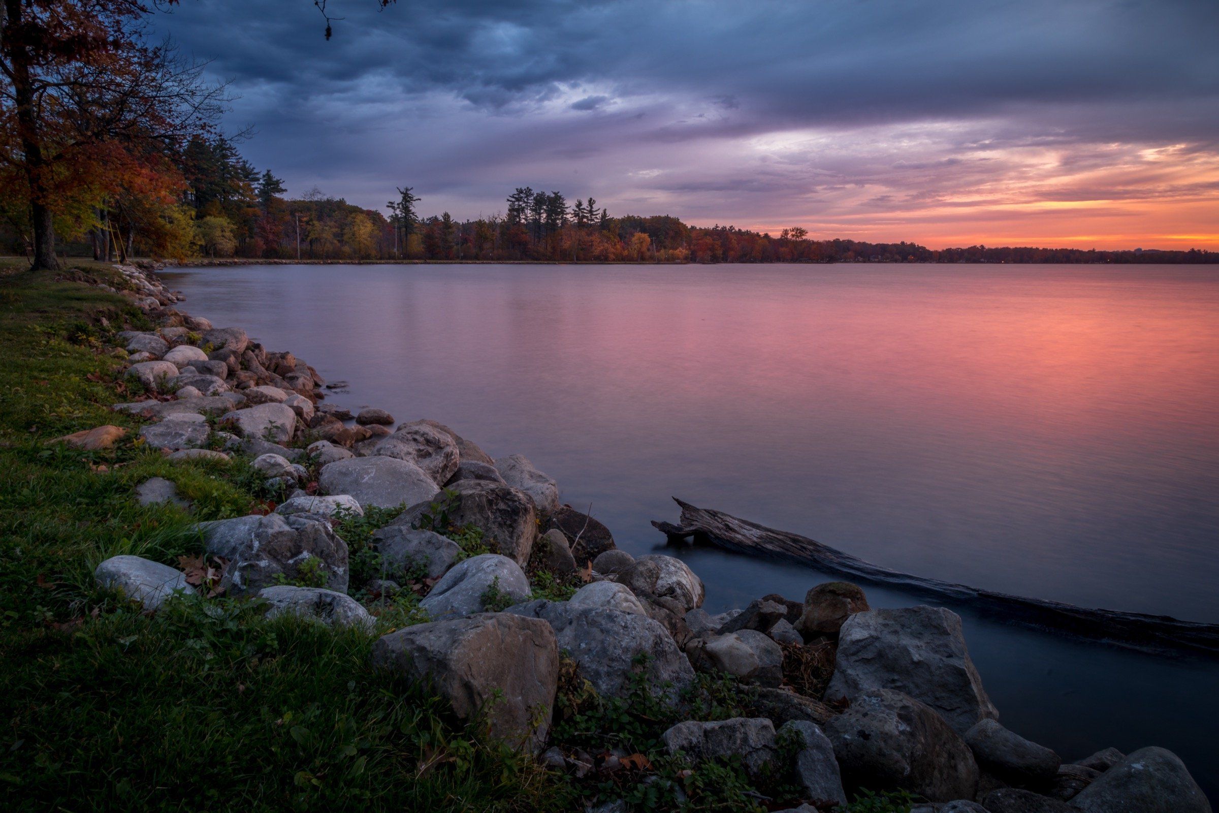
Cadillac's in-town, all-sports lake: 1,150 acres and 28 feet deep, a canal to Lake Mitchell, a 7.5-mile path and winter ice fishing for perch and walleye.
Lake · Grand Traverse & Inland Lakes
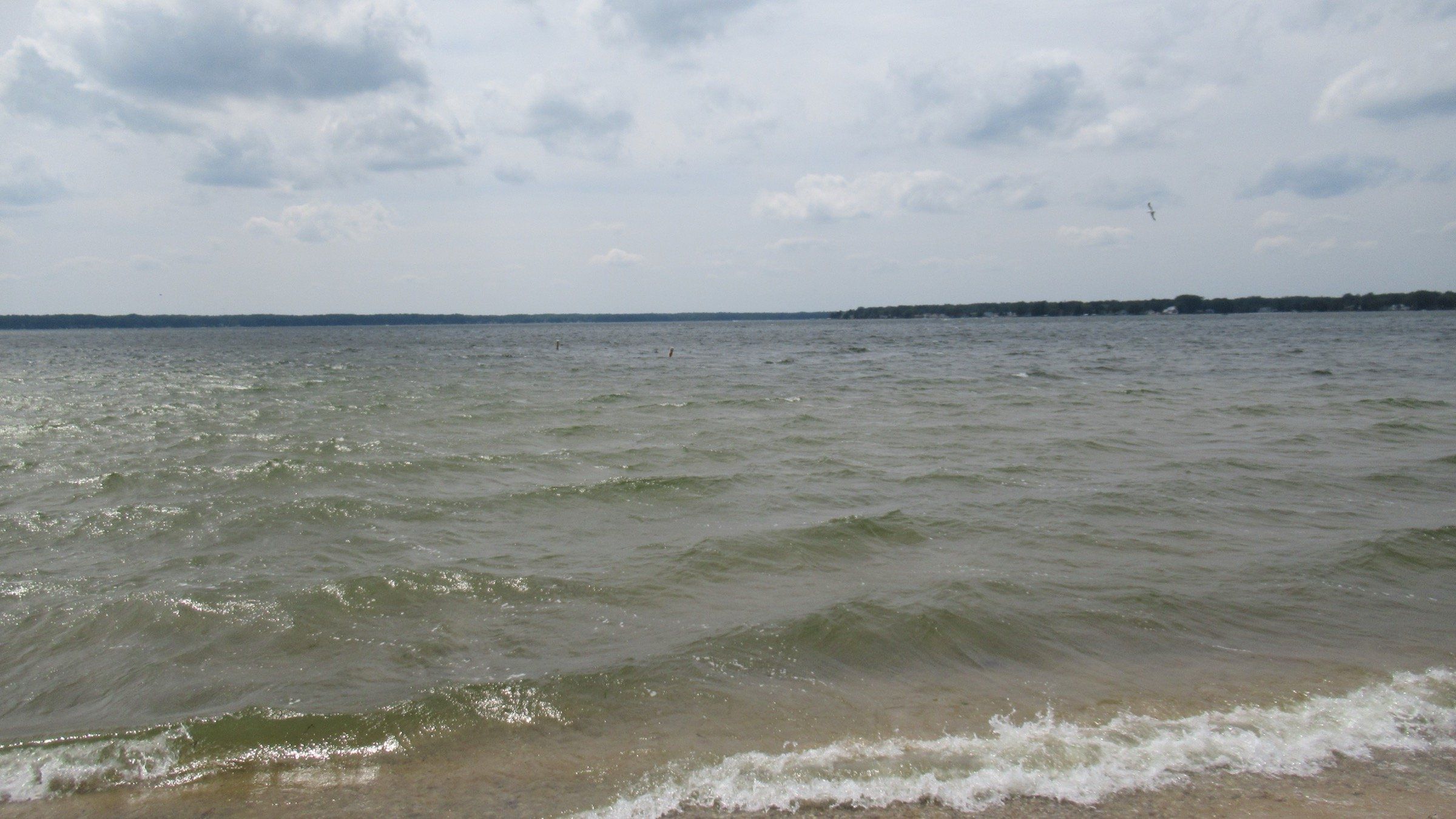
Lake City's all-sports town lake: 1,880 acres and mostly under 15 feet deep, with a public beach, a city launch, and walleye, perch and pike through the ice.
River · Ludington & Manistee
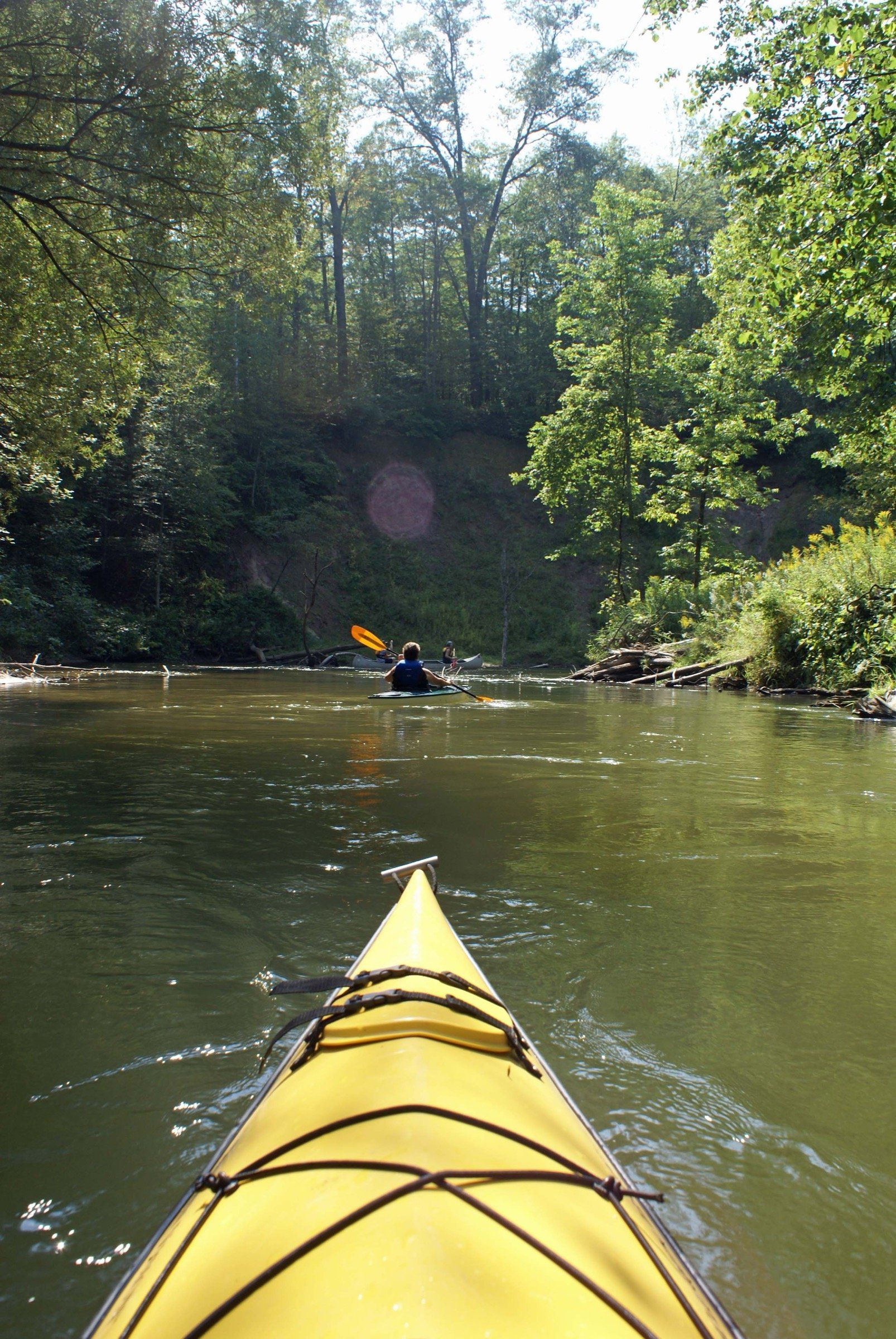
A narrow, winding river near Cadillac for canoe, kayak and raft trips from Wellston liveries, blue ribbon trout fishing and year-round access.
May we count your visit with Google Analytics? It helps us see which guides are useful. Nothing is collected unless you choose Allow. Details
Your browser sends Global Privacy Control, so analytics stays off and we will not ask again.