Ski area
Caberfae Peaks
A ski resort west of Cadillac with 27 runs and 5 lifts across three peaks, plus about 10 miles of cross-country trails that are free to use.
About 5 miles away (straight line)
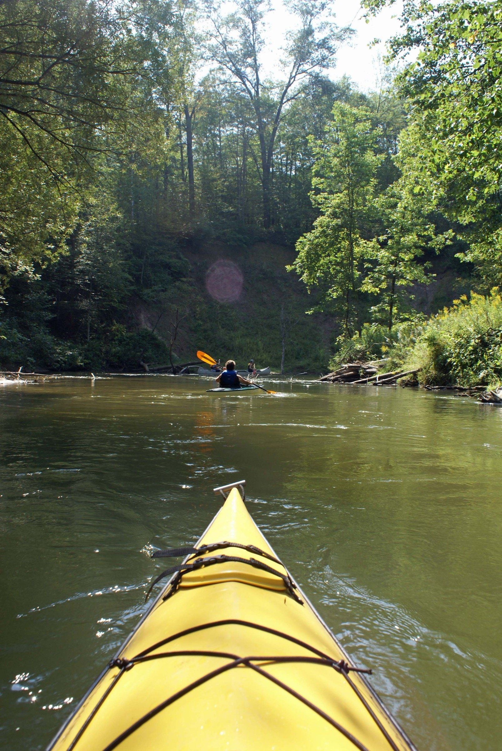
River · Ludington & Manistee
A narrow, winding river near Cadillac for canoe, kayak and raft trips from Wellston liveries, blue ribbon trout fishing and year-round access.
The Pine is a canoeing river first and a trout river close behind. It is narrow and winding, with steep banks, distinctive clay formations and a mixed conifer and hardwood forest that resembles old growth.
It forms near Tustin in Osceola County, where its North and East branches meet, and runs about 49 miles before ending in the Tippy Dam impoundment on the Manistee River in Manistee County. It is one of Michigan’s designated Natural Rivers, and in 1992 Congress added 25 miles to the National Wild and Scenic Rivers System as a scenic river, managed by the Huron-Manistee National Forests.
Most people come to canoe and to fish for trout, and also to picnic, hike, hunt, watch wildlife and swim. In summer you need a Forest Service permit to paddle, and weekdays are much quieter than weekends. No boat? Liveries such as Pine River Paddlesports Center in Wellston rent canoes, kayaks, rafts and paddleboards and run the shuttle.
A good place to start is Peterson Bridge, where M-37 crosses the river in Wexford County. The coordinates on this page mark it. A rest stop for paddlers sits on the stretch between Peterson Bridge and Low Bridge, which helps keep river users off private land along the banks. Camping in the corridor on national forest land is allowed only at designated sites.
Slow no-wake near Loomis Landing, from a marked line down to the M-55 bridge.
Canoeing is the river's signature activity: a moderate challenge that keeps you in close contact with the natural surroundings. The Forest Service limits daily watercraft numbers with a permit system from mid-May to early September, and a rest stop for paddlers sits between Peterson Bridge and Low Bridge.
The federal program calls the Pine a blue ribbon trout fishery. Most anglers fish from shore in the early morning and evening. Check current Michigan DNR rules before fishing.
Forest Service access sites are plowed in winter, so the river stays reachable year-round.
Skookum access sites
Carry-down launches on the north and south banks for canoes and car-top boats, with small gravel lots. You need a Recreation Passport for vehicles at state boating access sites.
Lincoln Bridge State Forest Campground
Carry-down launch for canoes and car-top boats. You need a Recreation Passport for vehicles at state boating access sites.
Silver Creek State Forest Campground
Carry-down launch for canoes and car-top boats. You need a Recreation Passport for vehicles at state boating access sites.
Wellston livery and campground on M-37 that lists canoe, kayak, raft and paddleboard rentals on the Pine, with several put-in and take-out points.
Listed because their own sites say they rent on this water. Not an endorsement, and we have no ties to them. Check with them for what is available.
Fishing, launching at a state site or parking at a state park? See licenses and passes for what you need before you go.
Anything not listed here is unverified. Do not assume public access across private riverbanks. Check the Michigan DNR boating access listings and the current fishing regulations.
Map of Pine River
1 place on an OpenStreetMap map
The pin marks one well-known point on the river, not its full course.
Riverfront homes and cabins are listed by the local rental managers and booking sites below.
Search all hotels in Kaleva: Booking.com · Expedia · Hotels.com · Google Hotels
We don’t take bookings or earn anything from these links. Rates, availability and any booking problems are handled by the booking site.
Straight-line distances from the map point.
Ski area
A ski resort west of Cadillac with 27 runs and 5 lifts across three peaks, plus about 10 miles of cross-country trails that are free to use.
About 5 miles away (straight line)
Attraction
More than half a million acres of public forest, run from Cadillac, with backpacking and ski trails, campgrounds and two National Scenic Rivers.
About 7 miles away (straight line)
Trail
The national scenic trail's long run up the west side of northern Michigan: Manistee National Forest, the Jordan River Valley, Petoskey and Mackinaw City.
About 8 miles away (straight line)
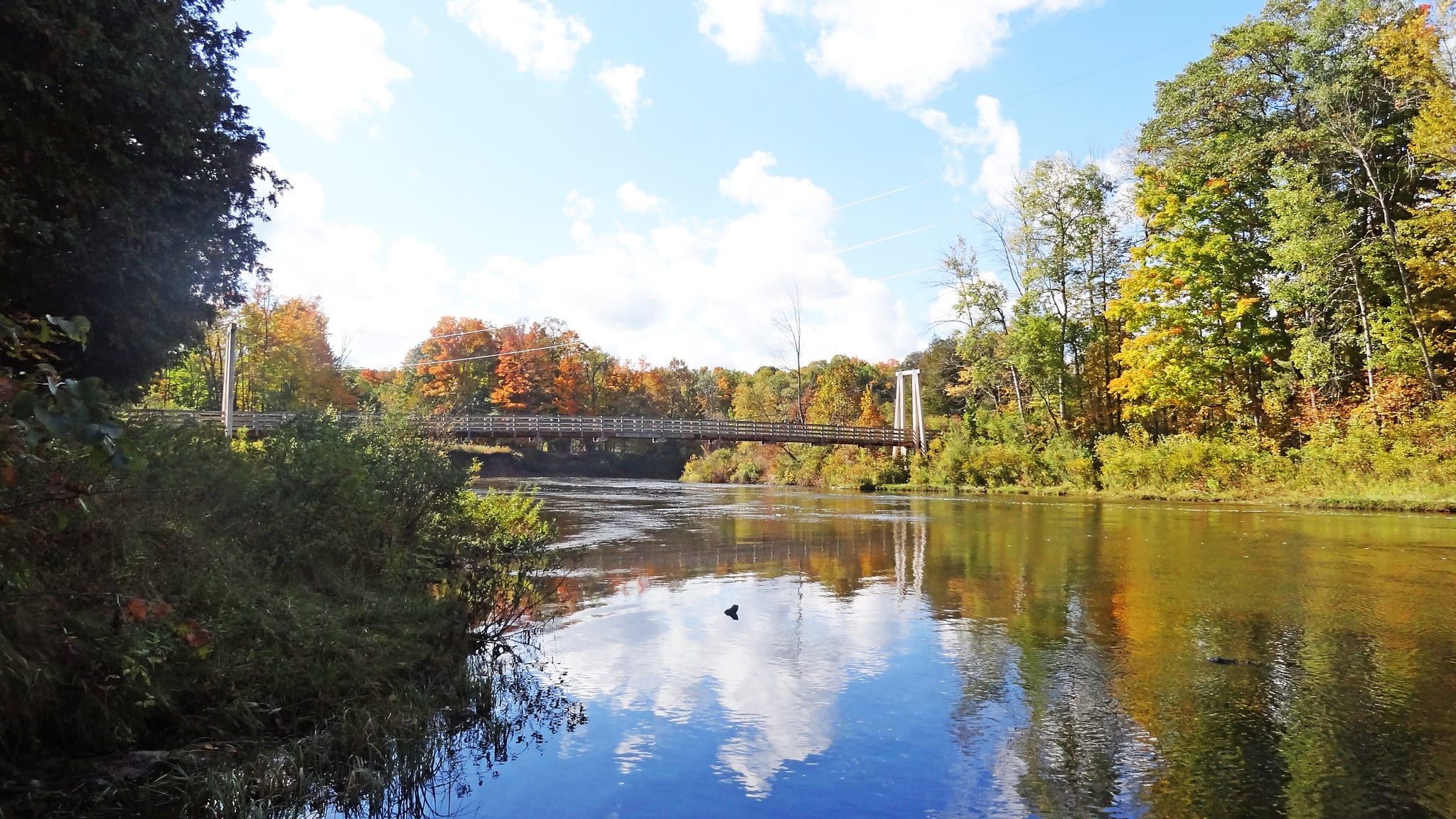
River · Ludington & Manistee
A big steelhead and salmon river below Tippy Dam, with liveries for summer canoe trips, winter steelhead, and 26 miles of National Recreational River.
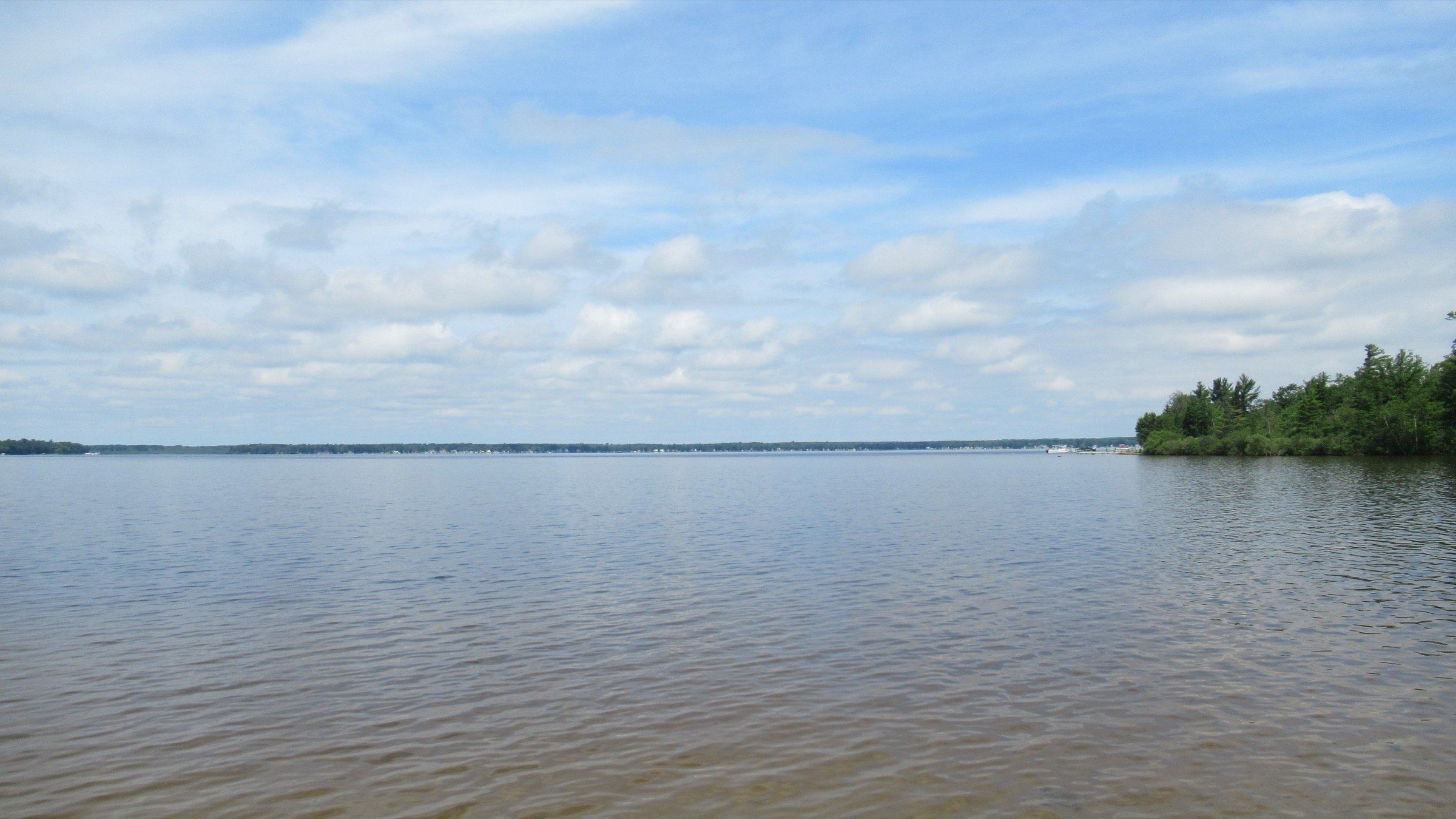
Lake · Grand Traverse & Inland Lakes
A broad, shallow, all-sports lake west of Cadillac: 2,496 acres, a state park beach and campground, a canal to paddle and crappie and bluegill through the ice.
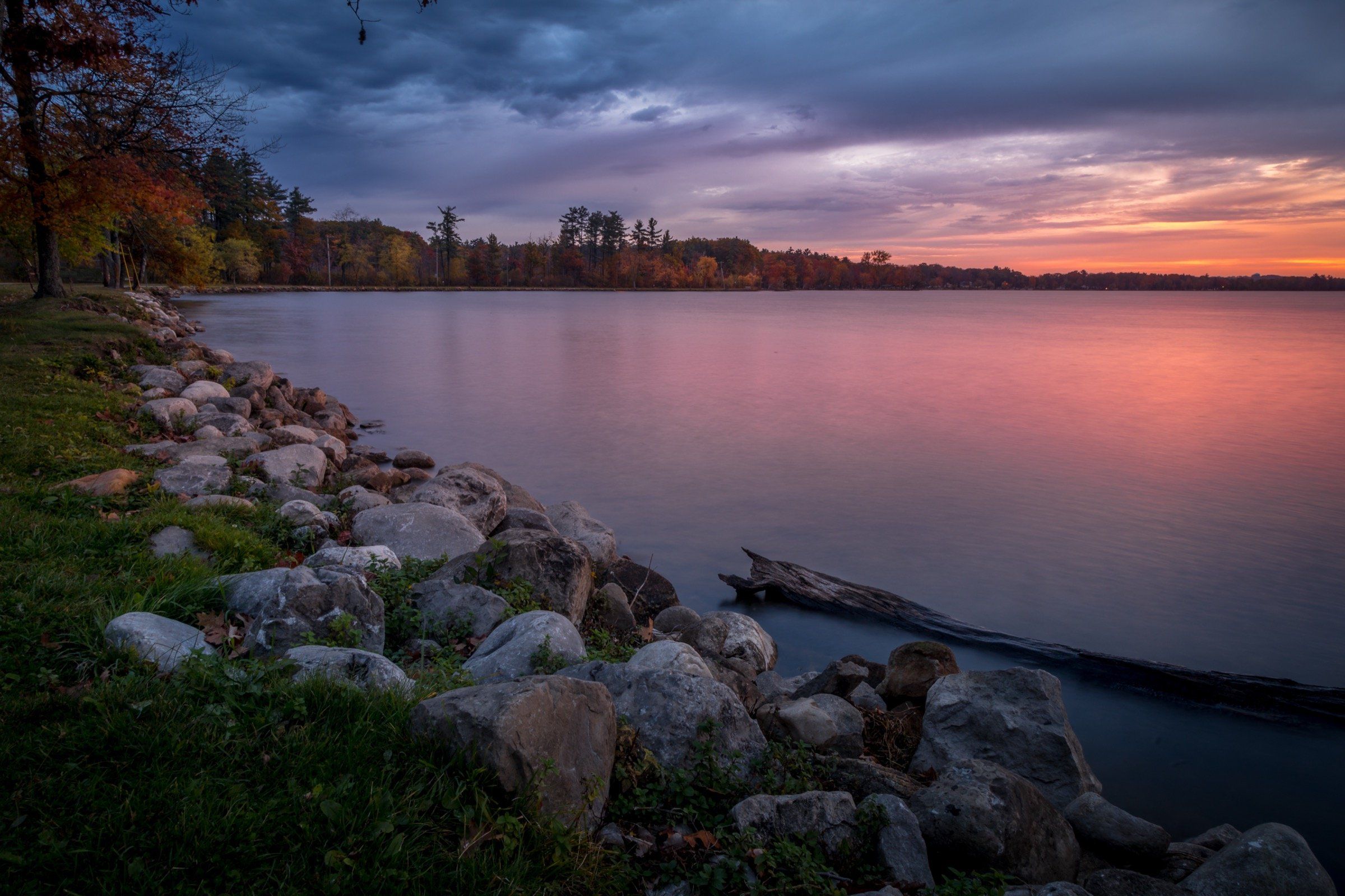
Lake · Grand Traverse & Inland Lakes
Cadillac's in-town, all-sports lake: 1,150 acres and 28 feet deep, a canal to Lake Mitchell, a 7.5-mile path and winter ice fishing for perch and walleye.
May we count your visit with Google Analytics? It helps us see which guides are useful. Nothing is collected unless you choose Allow. Details
Your browser sends Global Privacy Control, so analytics stays off and we will not ask again.