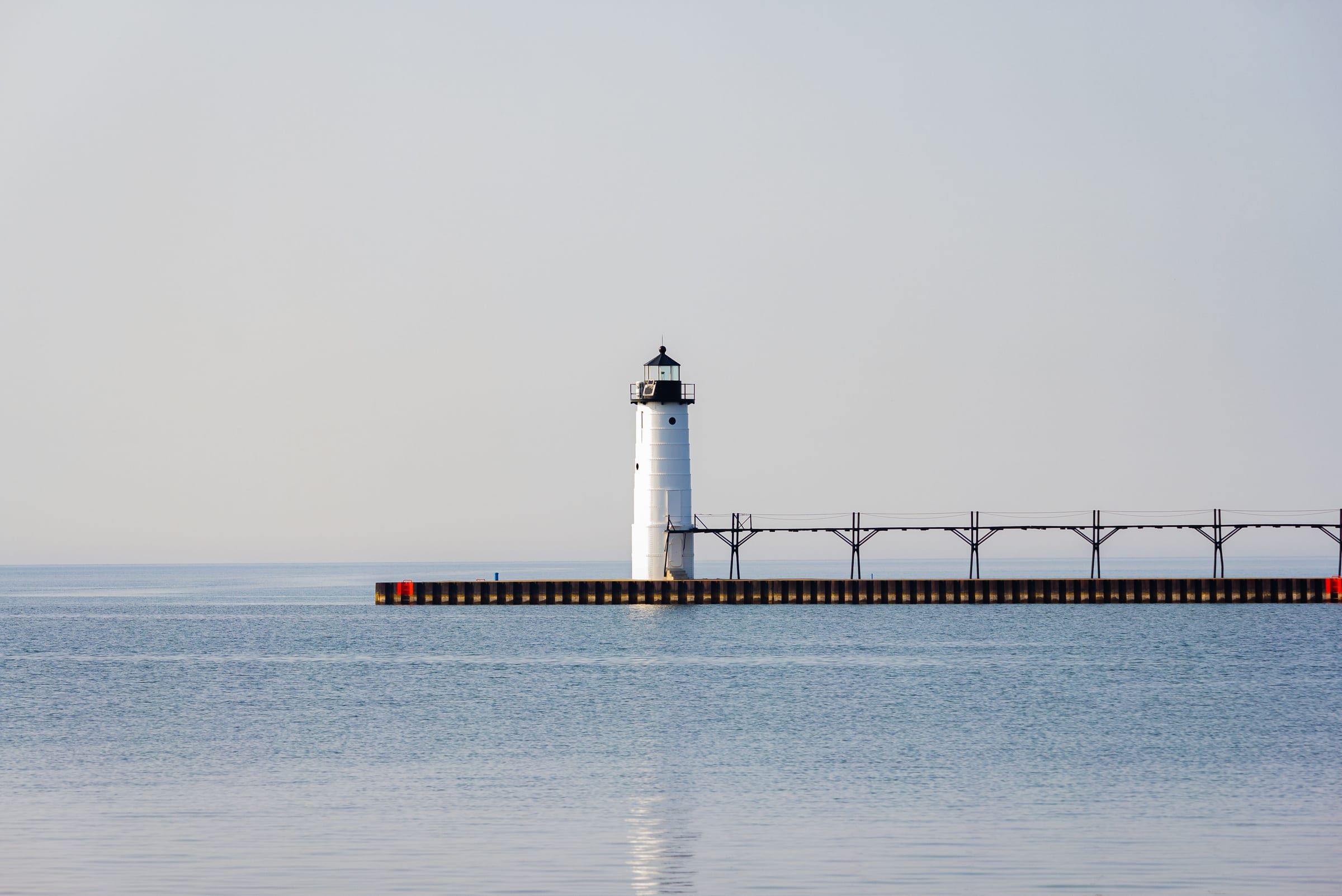
Ludington & Manistee
Manistee
A Lake Michigan port city where the river meets the lake, with a historic downtown riverwalk, three city beaches and a pierhead light to climb in season.
About 25 miles away (straight line)
Trail · Ludington & Manistee
The national scenic trail's long run up the west side of northern Michigan: Manistee National Forest, the Jordan River Valley, Petoskey and Mackinaw City.
The North Country Trail is the long-distance footpath of northern Michigan: a national scenic trail that comes up through the Manistee National Forest, crosses the middle of the northern Lower Peninsula, touches Little Traverse Bay at Petoskey and ends its Lower Peninsula run at Mackinaw City. You do not need to thru-hike it: pick a section for a day hike or a weekend.
Congress designated it a National Scenic Trail in 1980, and the National Park Service administers it. In all it runs about 4,800 miles across eight states, from North Dakota to Vermont, and volunteers build and maintain most of it. In Michigan, chapters of the North Country Trail Association each look after a stretch with the Forest Service, the DNR and local partners.
Manistee National Forest. In the Manistee National Forest, the trail runs for roughly 130 miles, crossing the Big Sable, Pere Marquette, Manistee and Little Manistee rivers and passing marshes along the way. The most popular piece is the Manistee River Trail loop: a 246-foot suspension bridge just below Hodenpyl Dam links the river trail on one side of the Manistee River with the North Country Trail on the other, making a loop of about 20 miles.
Grand Traverse country. North of Hodenpyl Dam Pond, the trail heads through the Pere Marquette State Forest, the Valley of the Giants and the Sand Lakes area, along the Boardman and Manistee rivers, and through the trail towns of Fife Lake and Kalkaska.
The Jordan River Valley. From southeast of Mancelona to east of Harbor Springs, the trail drops through the Jordan River Valley and follows the Jordan River, passes lakes and ponds, and crosses the 45th parallel, halfway between the Equator and the North Pole.
Petoskey to Mackinaw City. Coming into Petoskey from the south, hikers get their first look at Lake Michigan from an overlook, then follow the Bear River to the bay and walk through Bayfront Park and past Petoskey State Park. North of Harbor Springs, the trail crosses the forested dunes of Sturgeon Bay near Cross Village, a cedar swamp and several streams, runs through Wilderness State Park and reaches Mackinaw City, where it ends at the North Central Trailhead before the trail continues across the Straits.
Hiking is free, but parking, camping and park entry can carry fees on some stretches, and conditions change with the season. Check the North Country Trail Association’s maps and the land manager for the section you plan to hike before you go.
Map of North Country National Scenic Trail
4 places on an OpenStreetMap map
Ludington & Manistee
A Lake Michigan port city where the river meets the lake, with a historic downtown riverwalk, three city beaches and a pierhead light to climb in season.
About 25 miles away (straight line)
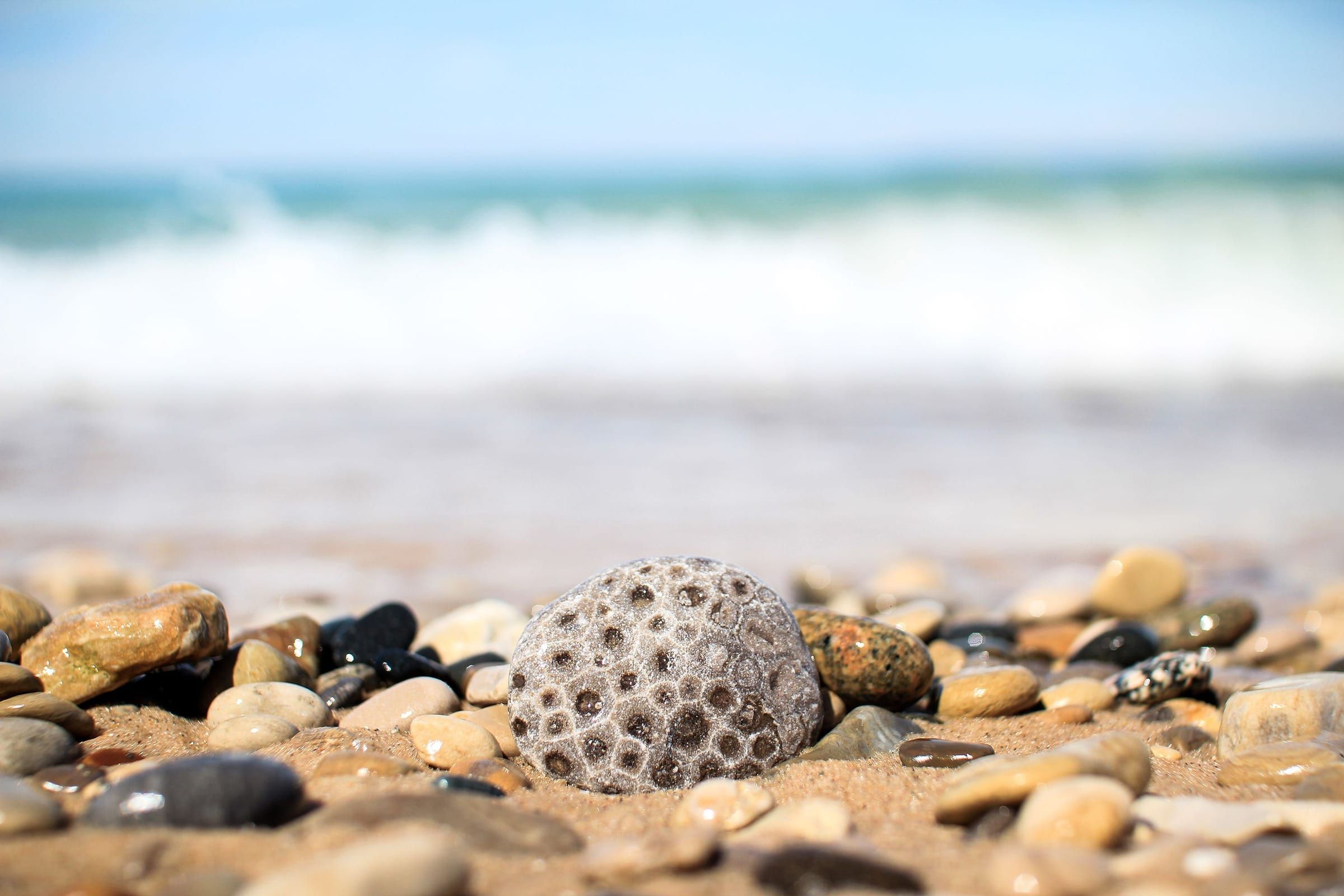
Charlevoix & Petoskey
A walkable bay town for stone hunting, shopping the Gaslight District and riding the Little Traverse Wheelway, with historic Bay View next door.
About 85 miles away (straight line)
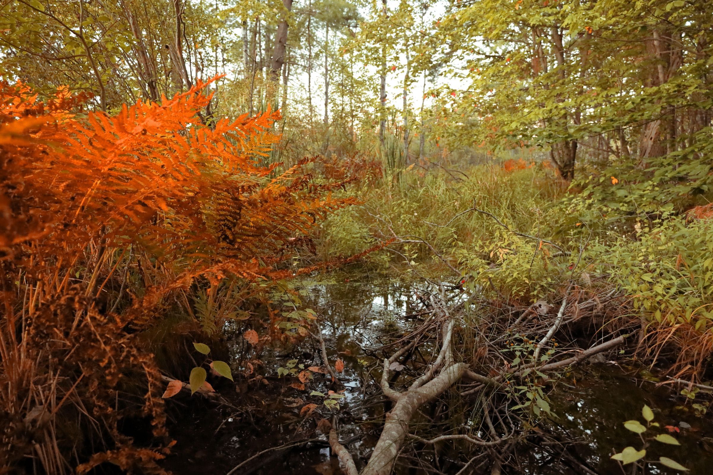
Charlevoix & Petoskey
For history, harbor views and the Tunnel of Trees: a small town on the north shore of Little Traverse Bay, with two ski areas nearby for winter.
About 90 miles away (straight line)
Charlevoix & Petoskey · Small town
The tiny Lake Michigan village at the north end of the M-119 Tunnel of Trees, with Legs Inn, a beach at the old port and centuries of Odawa history.
About 100 miles away (straight line)
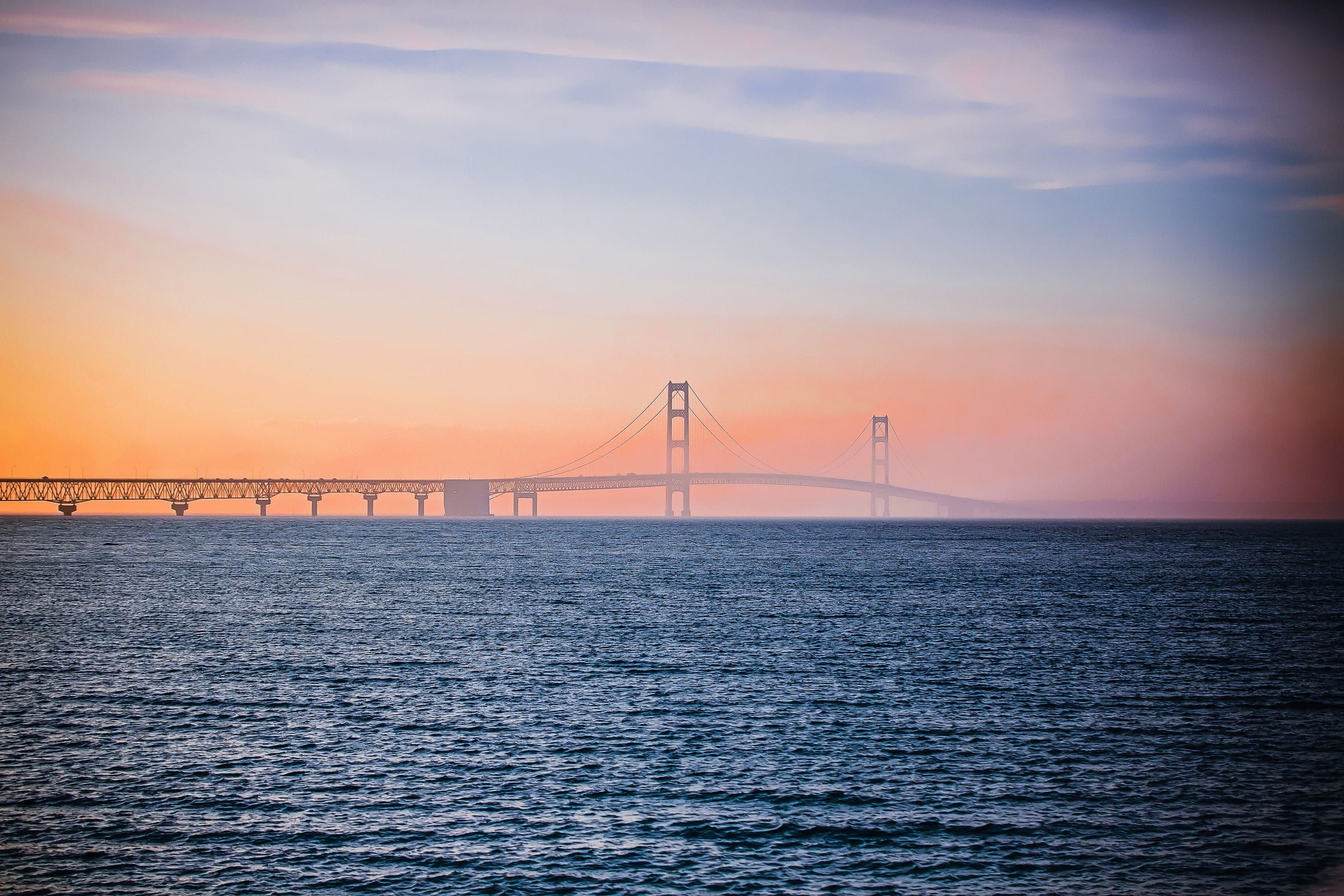
Mackinac & Straits
The base for the Straits, beside the Mackinac Bridge at the tip of the Lower Peninsula, with a reconstructed colonial fort and ferries to Mackinac Island.
About 115 miles away (straight line)
Straight-line distances, not driving distances.
Trail
A backpacking loop in the Manistee National Forest: the Manistee River Trail and the North Country Trail, joined by a suspension bridge near Hodenpyl Dam.
About 5 miles away (straight line)
Attraction
More than half a million acres of public forest, run from Cadillac, with backpacking and ski trails, campgrounds and two National Scenic Rivers.
About 7 miles away (straight line)
Museum
A house built in 1941 from about 60,000 glass bottles, now the Kaleva Historical Society's museum of local Finnish-American history.
About 8 miles away (straight line)
May we count your visit with Google Analytics? It helps us see which guides are useful. Nothing is collected unless you choose Allow. Details
Your browser sends Global Privacy Control, so analytics stays off and we will not ask again.