
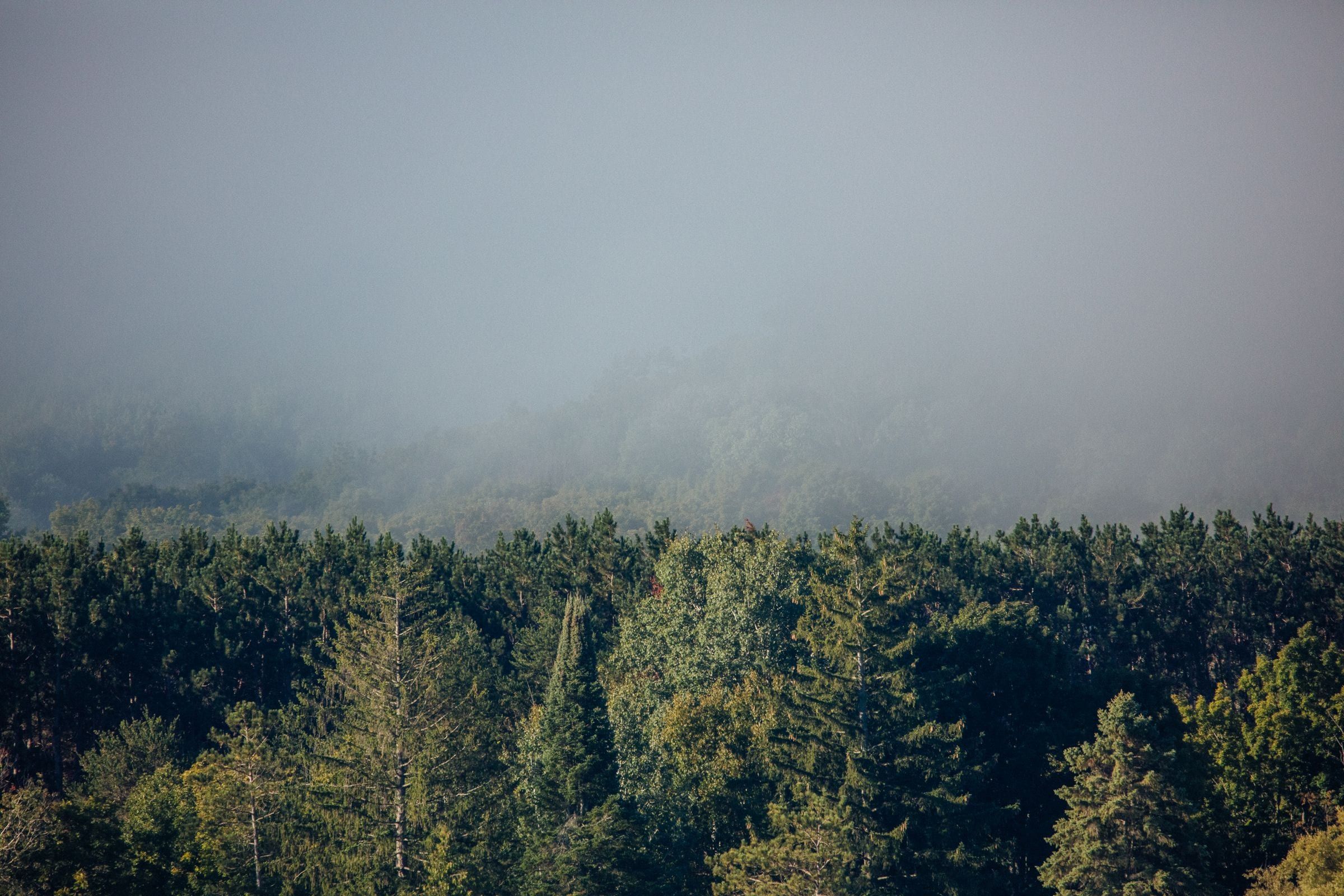
Charlevoix & Petoskey · Small town
East Jordan
For paddlers and anyone avoiding crowds: the Jordan, Michigan's first designated Natural River, floats into this small city at the south tip of Lake Charlevoix.
Under a mile away (straight line)
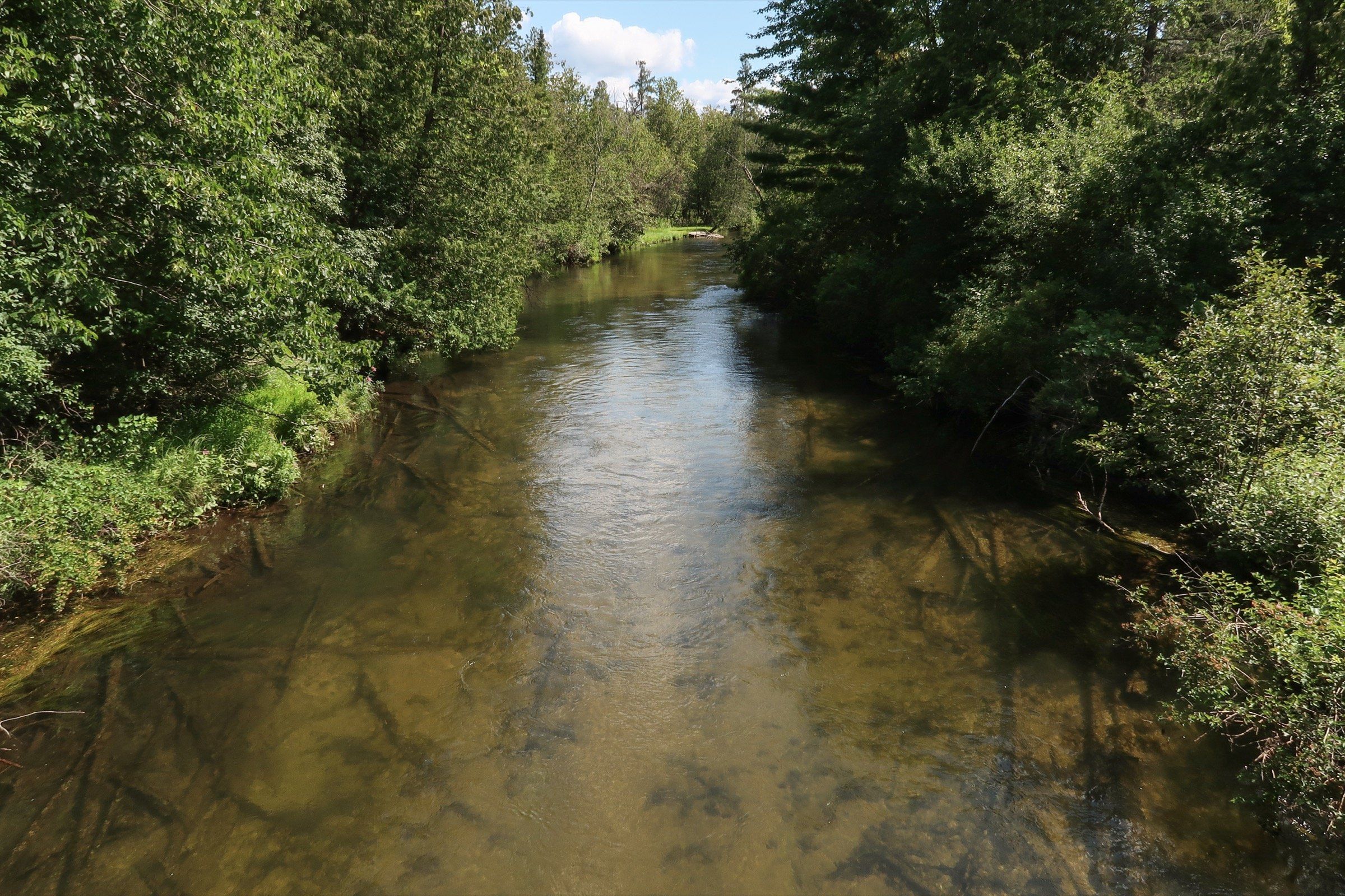
River · Charlevoix & Petoskey
A cold, clear, motor-free trout river for long floats through the Jordan River Valley, with DNR canoe launches, an East Jordan outfitter and winter steelhead.
Photo: Tim Kiser, Wikimedia Commons (CC BY-SA 4.0)
The Jordan is a river for a long day in a canoe or kayak, or a day of trout fishing. Motorboats are not allowed above the M-32 bridge, and the upper river winds through a hilly, wooded valley. In 1972 it became the first river designated under Michigan’s Natural Rivers program, which regulates building and land changes along the river to protect its natural character.
See the valley from above first. The Deadman’s Hill overlook off US-131 looks down across the Jordan River Valley, and it is the trailhead for the 18-mile Jordan Valley Pathway, which loops through the valley floor along the river, its tributaries and springs. To stay by the water, Graves Crossing State Forest Campground has rustic sites on the river.
Then get on it. Paddlers come for long floats through the valley, putting in at one of five DNR carry-down launches between Graves Crossing and Rogers Road Bridge, and Jordan Valley Outfitters in East Jordan rents kayaks, canoes, rafts and tubes. Anglers come for brook and brown trout and for the steelhead and salmon runs from Lake Charlevoix, and steelhead linger into winter.
The river rises in the hills of northwestern Antrim County and flows north into Charlevoix County. The mainstream runs 33 miles, with the Green River and Deer Creek as its two main tributaries. Near the mouth it spreads into hundreds of acres of marsh and wetland, the Jordan River Spreads, before it reaches the South Arm of Lake Charlevoix at East Jordan. The map pin marks East Jordan, the town at the river’s mouth.
Motorboats are not allowed anywhere upstream of the M-32 bridge in South Arm Township. This is a river for canoes and kayaks.
For a campsite on the river, look to Graves Crossing State Forest Campground, north of Mancelona off US-131 and M-66. It has 10 rustic sites in the Jordan River Valley and water access for canoeing and fishing. Upstream, the Deadman's Hill overlook in Antrim County is the trailhead for the DNR's 18-mile Jordan Valley Pathway. A Recreation Passport is required for vehicle entry.
Give the Jordan a full day. It is a river for long floats through the valley, tight and technical near the headwaters and mostly 20 to 50 feet wide below. The DNR has five carry-down launches between Graves Crossing and Rogers Road Bridge, and an East Jordan outfitter rents kayaks, canoes, rafts and tubes.
Fish for brook trout and some browns above Graves Crossing Road, and bigger brown trout downstream, where fish over 20 inches are possible. Time a trip for the steelhead and salmon runs in spring and fall. Check current Michigan DNR rules before fishing.
Rainbow trout (Michigan strain) were stocked from 2015 to 2020 and 2022 to 2026, and lake whitefish from 2024 to 2026.
The river stays cold and clear all year, and steelhead turn up in fair numbers in late fall and winter as well as in the spring run. Jordan Valley Outfitters also lists winter rafting trips. Check current DNR rules for the stretch you plan to fish.
Graves Crossing
DNR carry-down launch for canoes and kayaks at the state forest campground, with a single parking space listed.
Chestonia Bridge
DNR carry-down launch for canoes and kayaks with 12 parking spaces and a vault toilet. Recreation Passport required.
Webster Bridge
DNR carry-down launch for canoes and kayaks with five parking spaces and a vault toilet. Recreation Passport required.
Alba Road
DNR carry-down access for canoes and kayaks with seven parking spaces and a vault toilet. Recreation Passport required.
Rogers Road Bridge
DNR carry-down access for canoes and kayaks with 10 parking spaces and a vault toilet. Recreation Passport required.
Kayaks, canoes, rafts and tubes for the Jordan River, with rafting trips of about 1.5 or 3 hours and winter rafting.
Listed because their own sites say they rent on this water. Not an endorsement, and we have no ties to them. Check with them for what is available.
Fishing, launching at a state site or parking at a state park? See licenses and passes for what you need before you go.
Anything not listed here is unverified. Do not assume public access across private riverbanks. Check the Michigan DNR boating access listings and the current fishing regulations.
Map of Jordan River
2 places on an OpenStreetMap map
The pin marks one well-known point on the river, not its full course.
Riverfront homes and cabins are listed by the local rental managers and booking sites below.
Search all hotels in East Jordan: Booking.com · Expedia · Hotels.com · Google Hotels
We don’t take bookings or earn anything from these links. Rates, availability and any booking problems are handled by the booking site.
Charlevoix & Petoskey · Small town
For paddlers and anyone avoiding crowds: the Jordan, Michigan's first designated Natural River, floats into this small city at the south tip of Lake Charlevoix.
Under a mile away (straight line)
Straight-line distances from the map point.
Beach
Boyne City's dog-friendly beach on Lake Charlevoix at 862 Front Street, with cleanup supplies on hand and an easy put-in for kayaks and canoes.
About 6 miles away (straight line)
State park
Boyne City's state park on Lake Charlevoix, with a swimming beach, a boat launch, three modern campgrounds and 6.5 miles of trails.
About 6 miles away (straight line)
Beach
Boyne City's in-town beach on Front Street, a short walk from downtown, with a splash pad, playground, restrooms, picnic tables and a Mobi Mat. No lifeguard.
About 6 miles away (straight line)
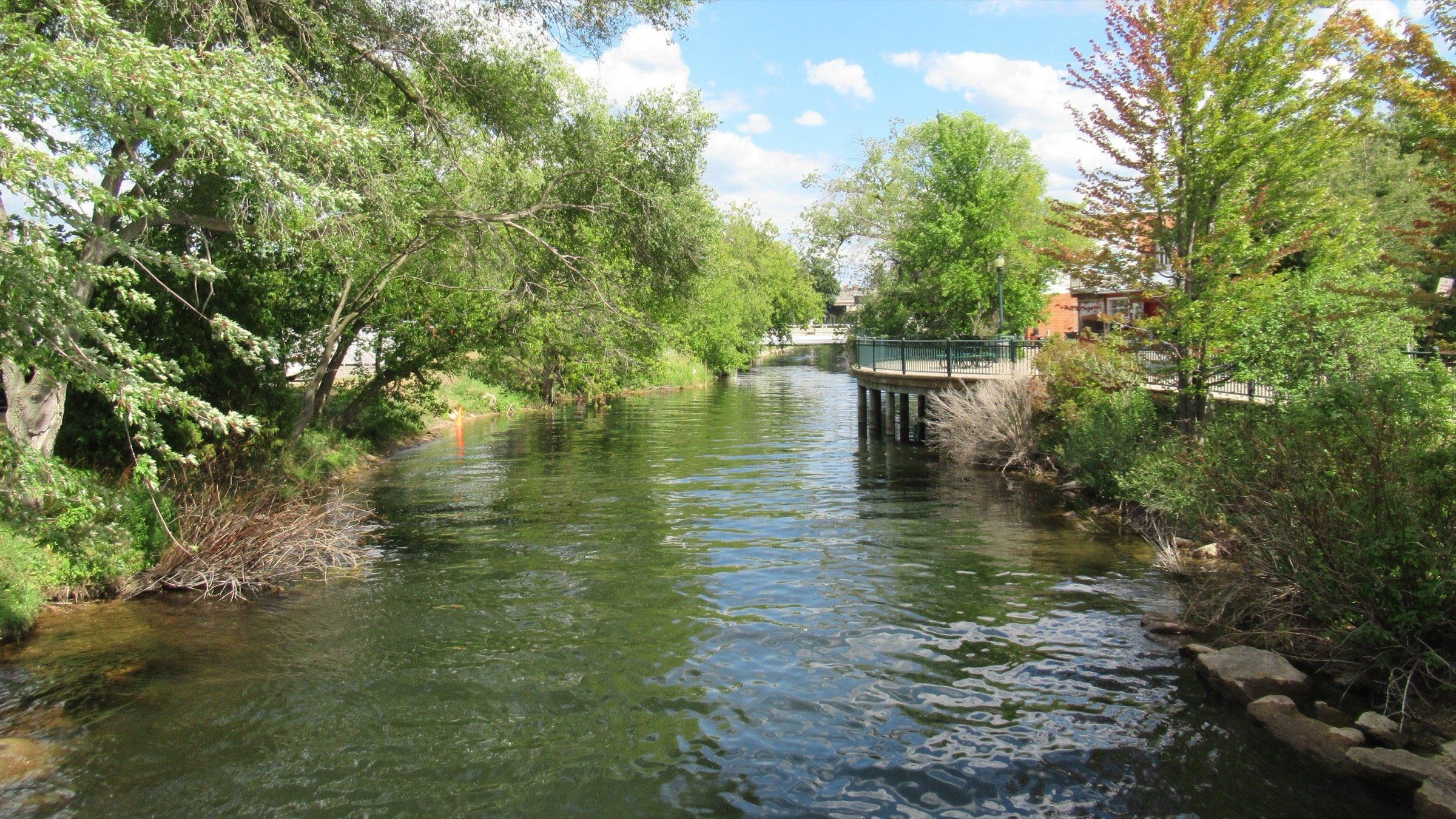
River · Charlevoix & Petoskey
A short trout stream into Lake Charlevoix at Boyne City, with an easy float of an hour or two from Dam Road to the lake and steelhead below the dam.
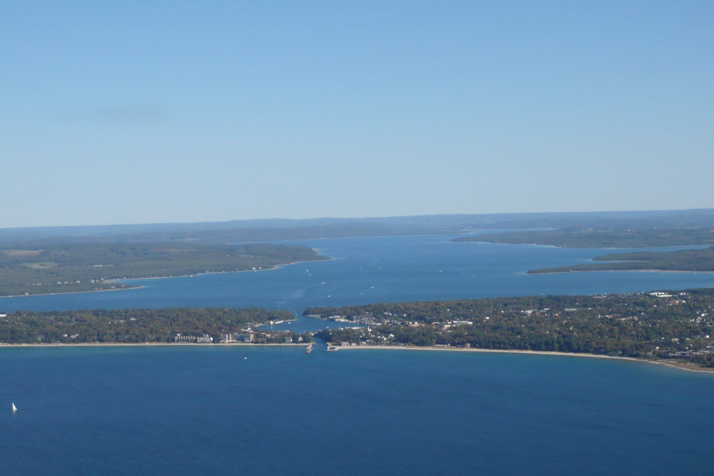
Lake · Charlevoix & Petoskey
An all-sports lake of 17,200 acres linking Charlevoix, Boyne City and East Jordan, with town marinas, a channel to Lake Michigan and walleye through the ice.
Lake · Charlevoix & Petoskey
A deep, clear all-sports lake south of Petoskey with marinas at Walloon Lake village, small township beaches and launches, and ice fishing in winter.
May we count your visit with Google Analytics? It helps us see which guides are useful. Nothing is collected unless you choose Allow. Details
Your browser sends Global Privacy Control, so analytics stays off and we will not ask again.