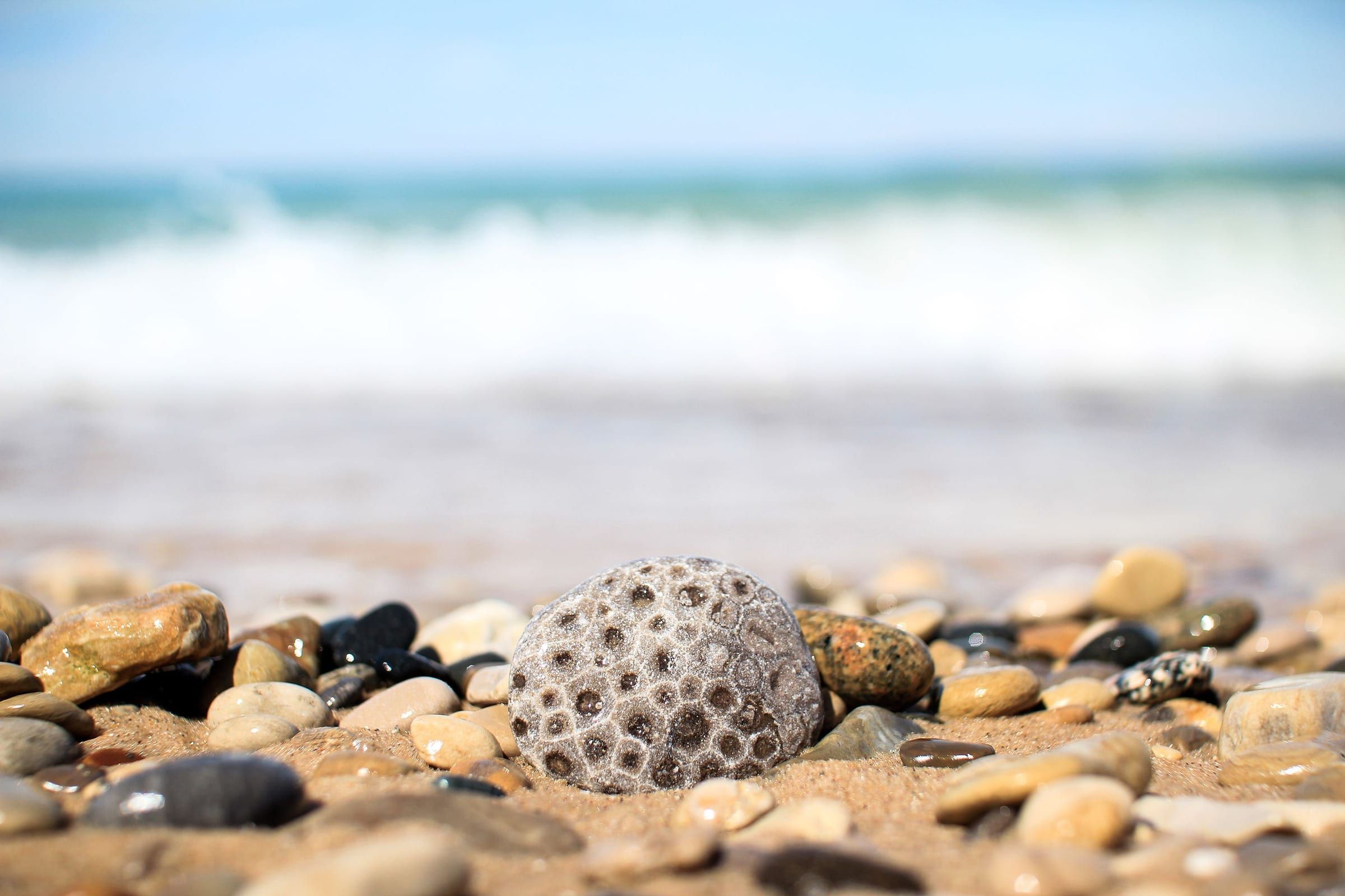
Charlevoix & Petoskey
Petoskey
A walkable bay town for stone hunting, shopping the Gaslight District and riding the Little Traverse Wheelway, with historic Bay View next door.

Day trip · US-31
North on US-31 from Petoskey through Alanson and Pellston to Mackinaw City, with the Mackinac Bridge, Colonial Michilimackinac and ferries to Mackinac Island.
From Petoskey, US-31 heads northeast past Bay View and then north through the small communities of Conway, Oden, Alanson, Pellston, Levering and Carp Lake. This is the final stretch of the Lake Michigan Circle Tour on US-31, and the highway ends where it meets I-75 just south of Mackinaw City.
Mackinaw City sits at the tip of the Lower Peninsula beside the Mackinac Bridge. Colonial Michilimackinac, the reconstructed 1715 French fort and fur trading post, stands at the edge of downtown with views across the Straits toward the bridge.
Many visitors use the day to reach Mackinac Island. The car stays on the mainland: passenger ferries leave from Mackinaw City, and once on the island people get around on foot, by bicycle or by horse-drawn carriage. The main ferry season runs from late April through October, so this trip is best planned for those months.
Map of Petoskey to Mackinaw City and the Straits
5 places on an OpenStreetMap map
Charlevoix & Petoskey
A walkable bay town for stone hunting, shopping the Gaslight District and riding the Little Traverse Wheelway, with historic Bay View next door.
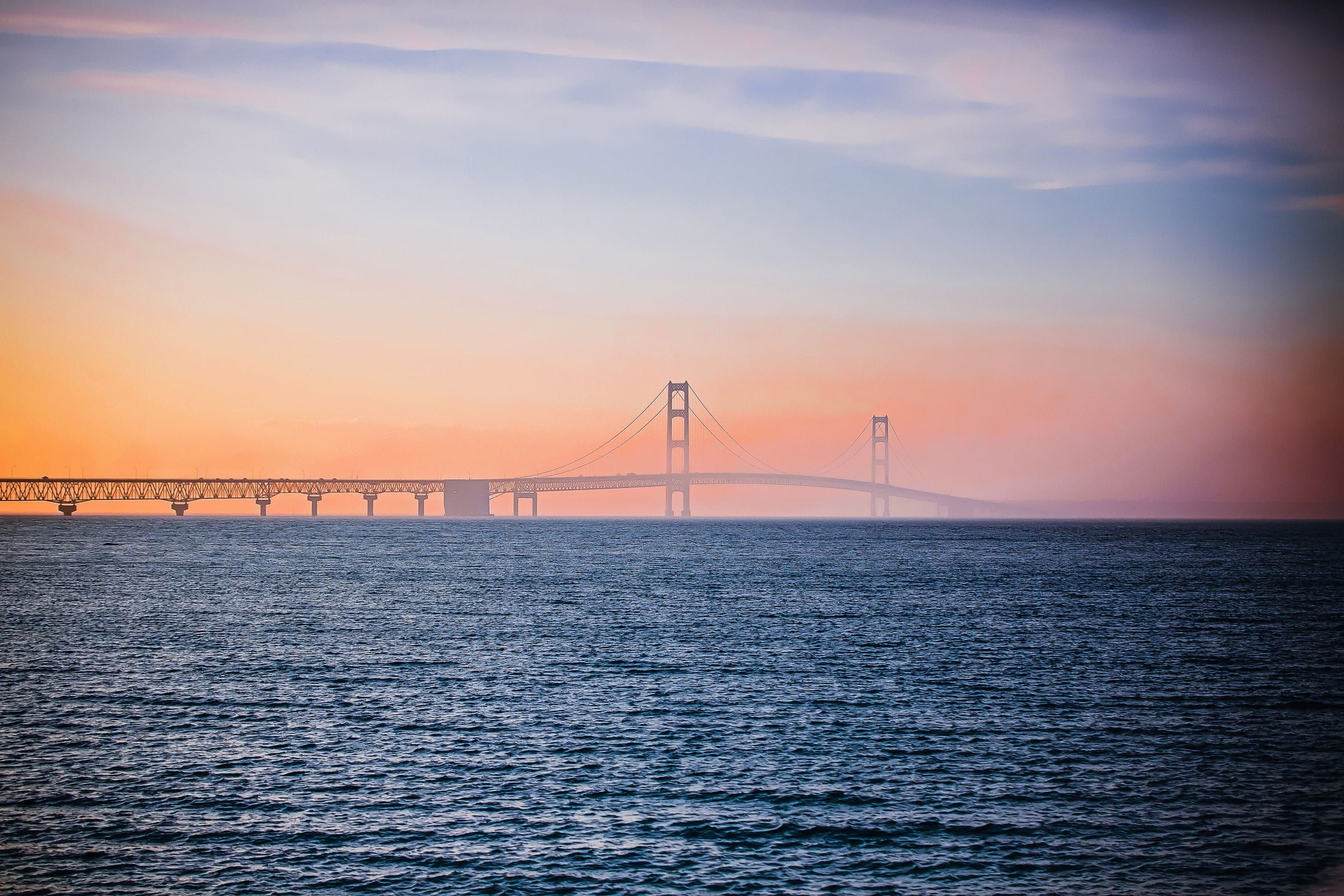
Mackinac & Straits
The base for the Straits, beside the Mackinac Bridge at the tip of the Lower Peninsula, with a reconstructed colonial fort and ferries to Mackinac Island.
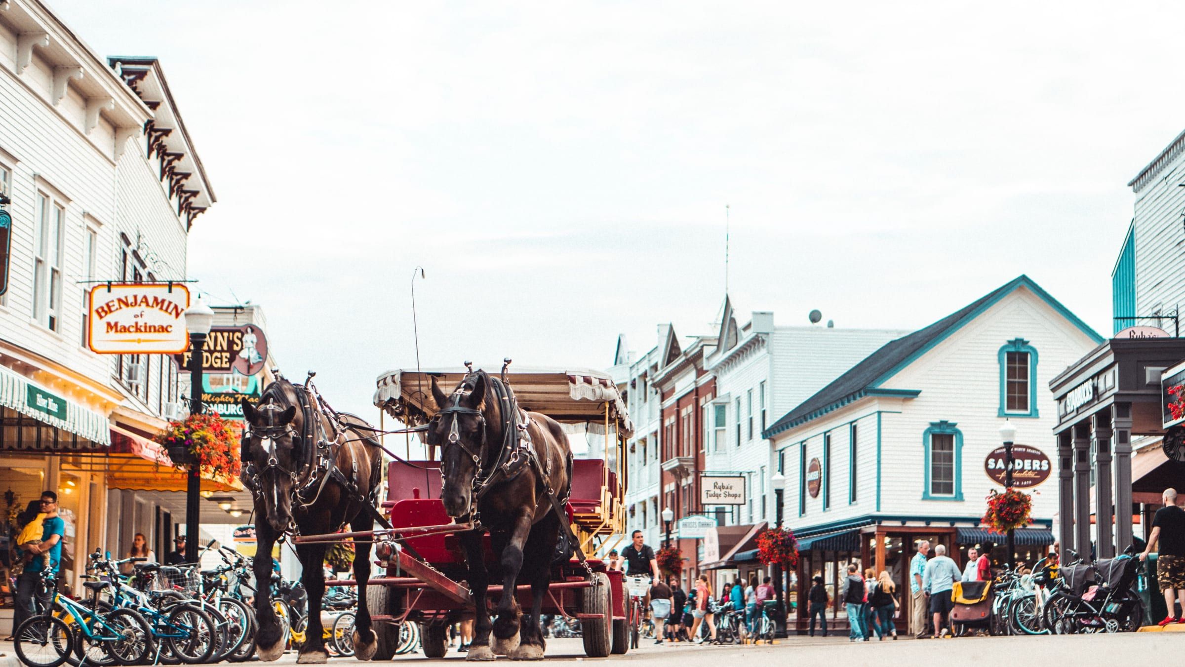
Mackinac & Straits
A car-free island in the Straits of Mackinac. Bike or walk from a busy harbor town to an old fort and a state park that covers most of the island.
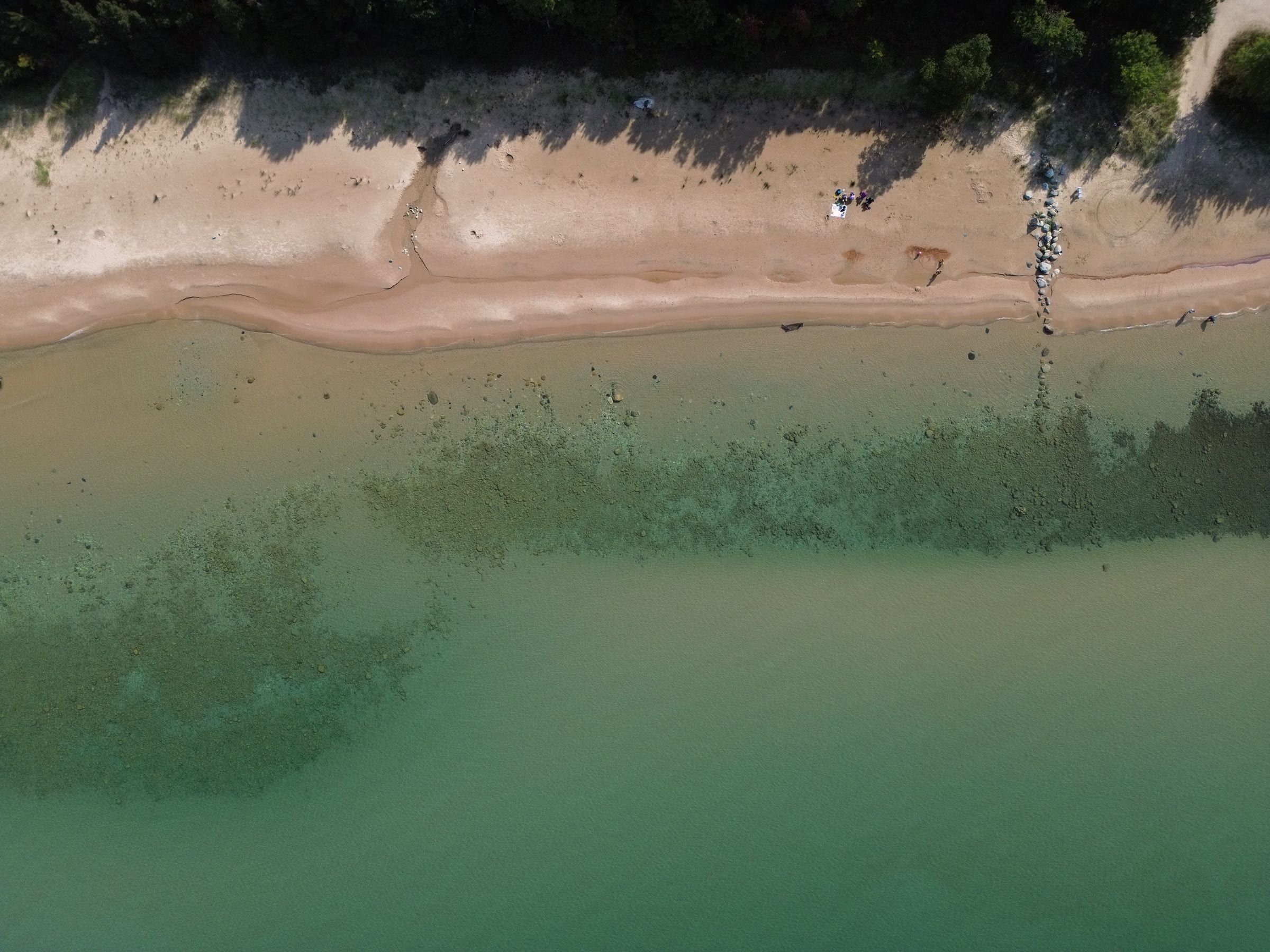
Charlevoix & Petoskey · Small town
A Victorian summer community beside Petoskey for history lovers and concertgoers, a National Historic Landmark with music and lectures you can attend.
Historic site
Mackinaw City's 18th-century fort and fur trading village, rebuilt from historic maps and one of the longest-running archaeological digs in the country.
Bridge
The five-mile suspension bridge that carries I-75 across the Straits of Mackinac between Mackinaw City and St. Ignace, open since November 1, 1957.
May we count your visit with Google Analytics? It helps us see which guides are useful. Nothing is collected unless you choose Allow. Details
Your browser sends Global Privacy Control, so analytics stays off and we will not ask again.