
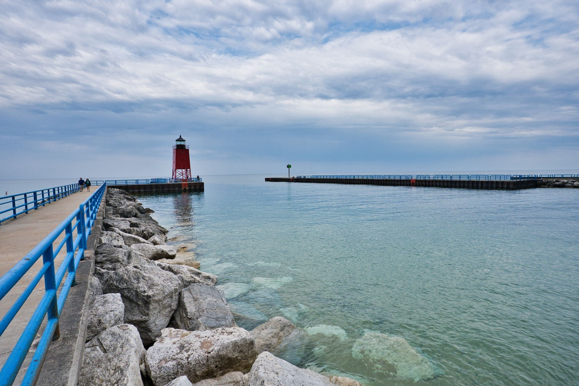
Charlevoix & Petoskey
Charlevoix
For boaters, beachgoers and first-timers: a harbor town where three lakes meet, with a summer drawbridge, a pier lighthouse and Earl Young's stone houses.
Day trip · US-31, M-66, C-56
A loop from Charlevoix down the South Arm on M-66 to East Jordan, across on the Ironton Ferry to Boyne City, and back along the north shore.
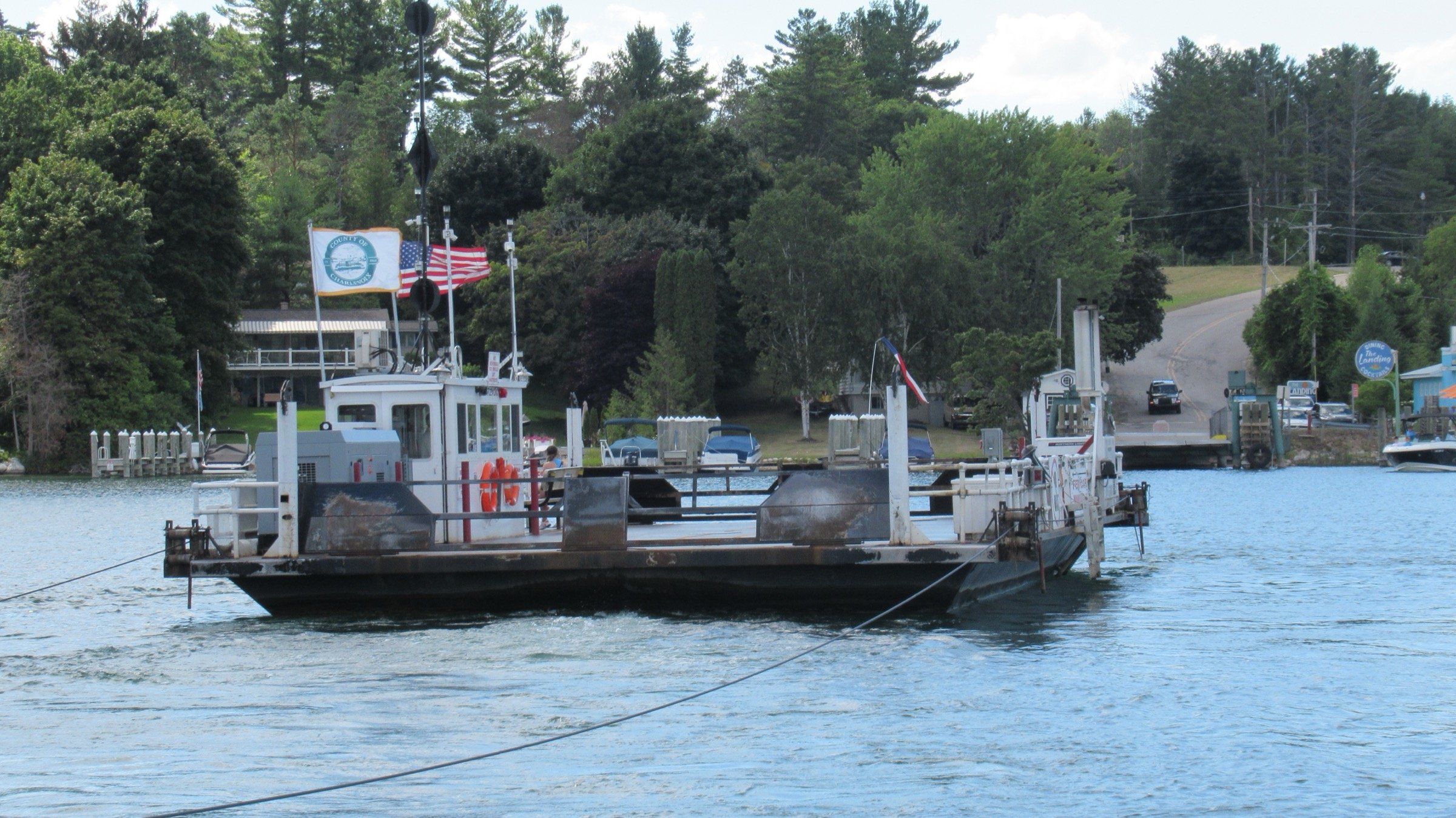
Photo: Notorious4life, Wikimedia Commons (CC0 1.0)
Lake Charlevoix has two parts: a main basin running east from Charlevoix to Boyne City, and the long, narrow South Arm reaching down to East Jordan. This loop takes in both. From Charlevoix, follow US-31 south to M-66, which runs along the lakeshore and then the west side of the South Arm through Ironton to East Jordan at the arm’s southern end.
From East Jordan, head back north on M-66 to Ironton and board the Ironton Ferry, a county-run cable ferry that has crossed the narrows of the South Arm since the 1800s and is a Michigan State Historic Site. On the far side, Ferry Road leads to Boyne City at the east end of the lake, where the Boyne River comes in.
The Petoskey Area Visitors Bureau’s Circle Lake Charlevoix route returns from Boyne City along Lake Street (C-56) to US-31, which carries you back to Charlevoix. Because the ferry runs only in the warmer months, plan this loop for late spring through fall.
Map of Charlevoix around Lake Charlevoix to East Jordan and Boyne City
5 places on an OpenStreetMap map
Charlevoix & Petoskey
For boaters, beachgoers and first-timers: a harbor town where three lakes meet, with a summer drawbridge, a pier lighthouse and Earl Young's stone houses.

Charlevoix & Petoskey · Small town
For Lake Charlevoix days in any season: a small city with a state park beach, ridge trails above downtown and the National Morel Mushroom Festival each May.

Charlevoix & Petoskey · Small town
For paddlers and anyone avoiding crowds: the Jordan, Michigan's first designated Natural River, floats into this small city at the south tip of Lake Charlevoix.
May we count your visit with Google Analytics? It helps us see which guides are useful. Nothing is collected unless you choose Allow. Details
Your browser sends Global Privacy Control, so analytics stays off and we will not ask again.