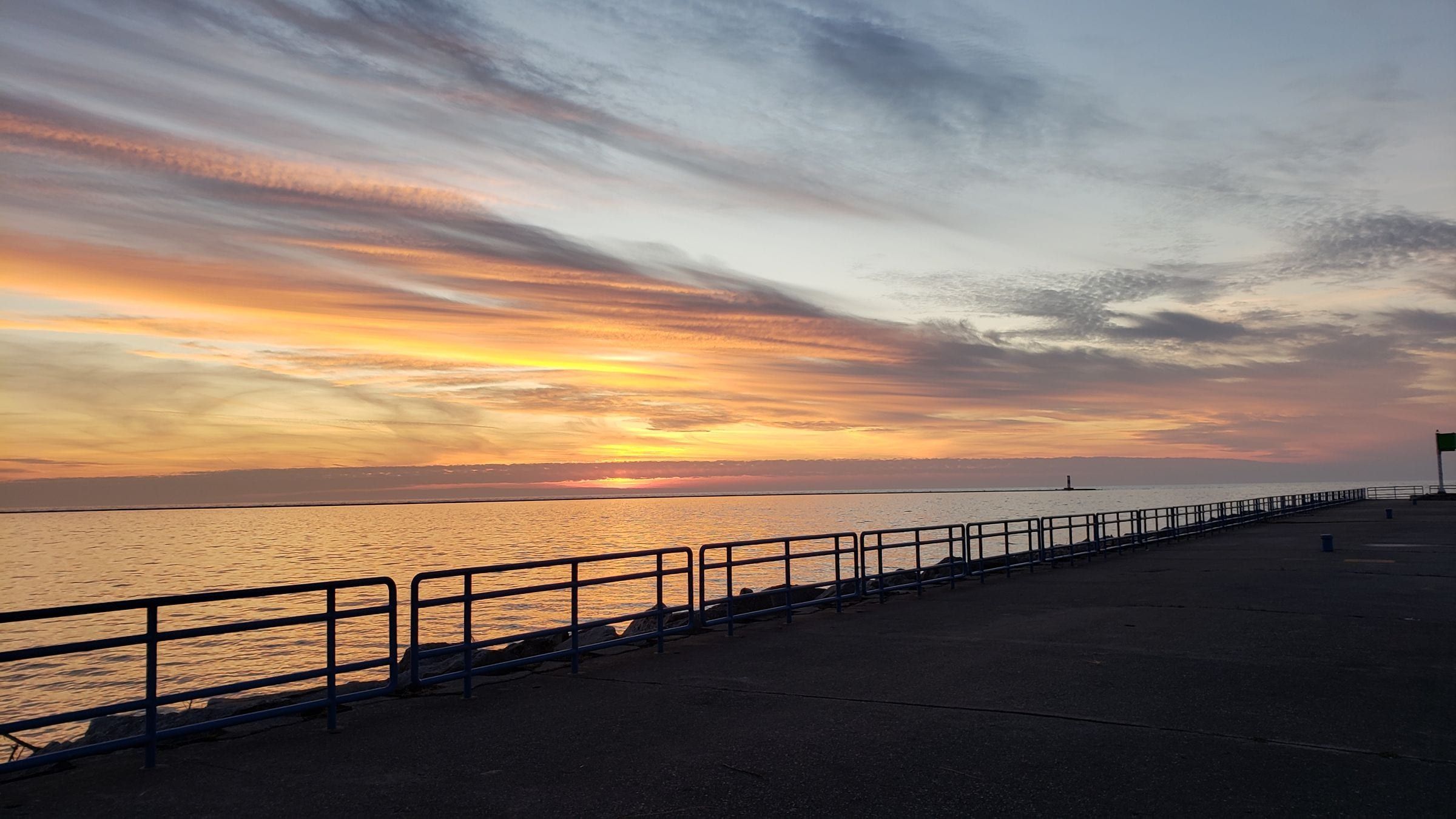
Ludington & Manistee
Ludington
A Lake Michigan harbor town for beach and lighthouse trips, with the S.S. Badger car ferry and a big dune state park just north of town.
Day trip · M-116
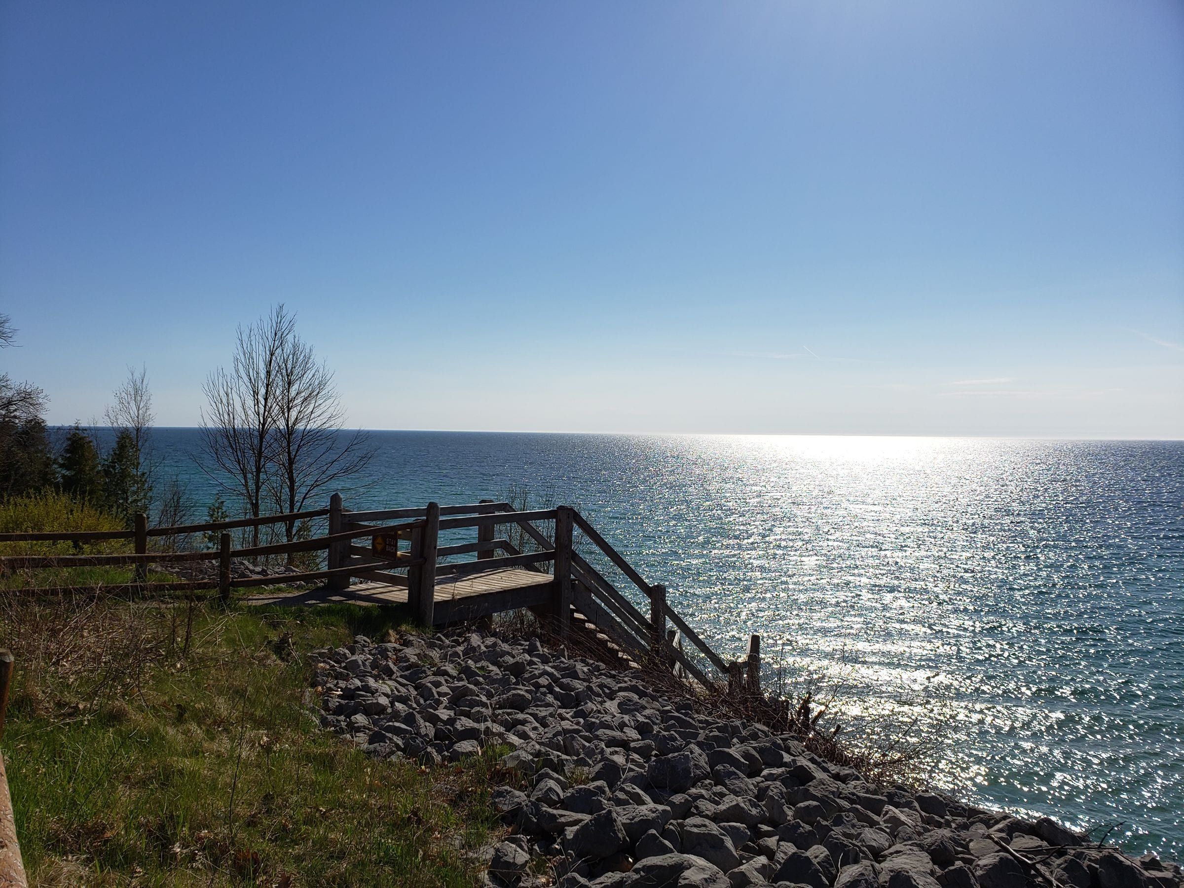
Out and back on M-116 along the Lake Michigan dunes to Ludington State Park, with a walk to Big Sable Point Lighthouse.
M-116 starts on Ludington Avenue in town, turns north onto Lakeshore Drive and runs past residential neighborhoods before curving out to the Lake Michigan shore. The last part of the drive follows the coast through sand dunes and ends at the entrance to Ludington State Park.
The park lies between Hamlin Lake and a long stretch of Lake Michigan beach, with dunes, campgrounds, a stretch of the Big Sable River and many miles of marked trails. The main excursion is the walk or bike ride north to Big Sable Point Lighthouse, a black-and-white banded tower from 1867 whose tower is open for climbs in season.
This is a short trip that can fill a whole day with beach time and hiking. Lakeshore Keepers opens the lighthouse from late spring into fall, with a shorter schedule after Labor Day. The path has little shade, so bring water on hot days.
Map of Ludington to Ludington State Park and Big Sable Point
2 places on an OpenStreetMap map
Ludington & Manistee
A Lake Michigan harbor town for beach and lighthouse trips, with the S.S. Badger car ferry and a big dune state park just north of town.
State park
A big dune park between Hamlin Lake and 7 miles of Lake Michigan shore, with three campgrounds, 21 miles of trails and the walk to Big Sable Point Lighthouse.
Lighthouse
An 1867 lighthouse, 112 feet tall and banded black and white, on the Lake Michigan shore in Ludington State Park. You reach it on a 1.8-mile walk or ride.
May we count your visit with Google Analytics? It helps us see which guides are useful. Nothing is collected unless you choose Allow. Details
Your browser sends Global Privacy Control, so analytics stays off and we will not ask again.