
Benzie & Sleeping Bear · Small town
Leland
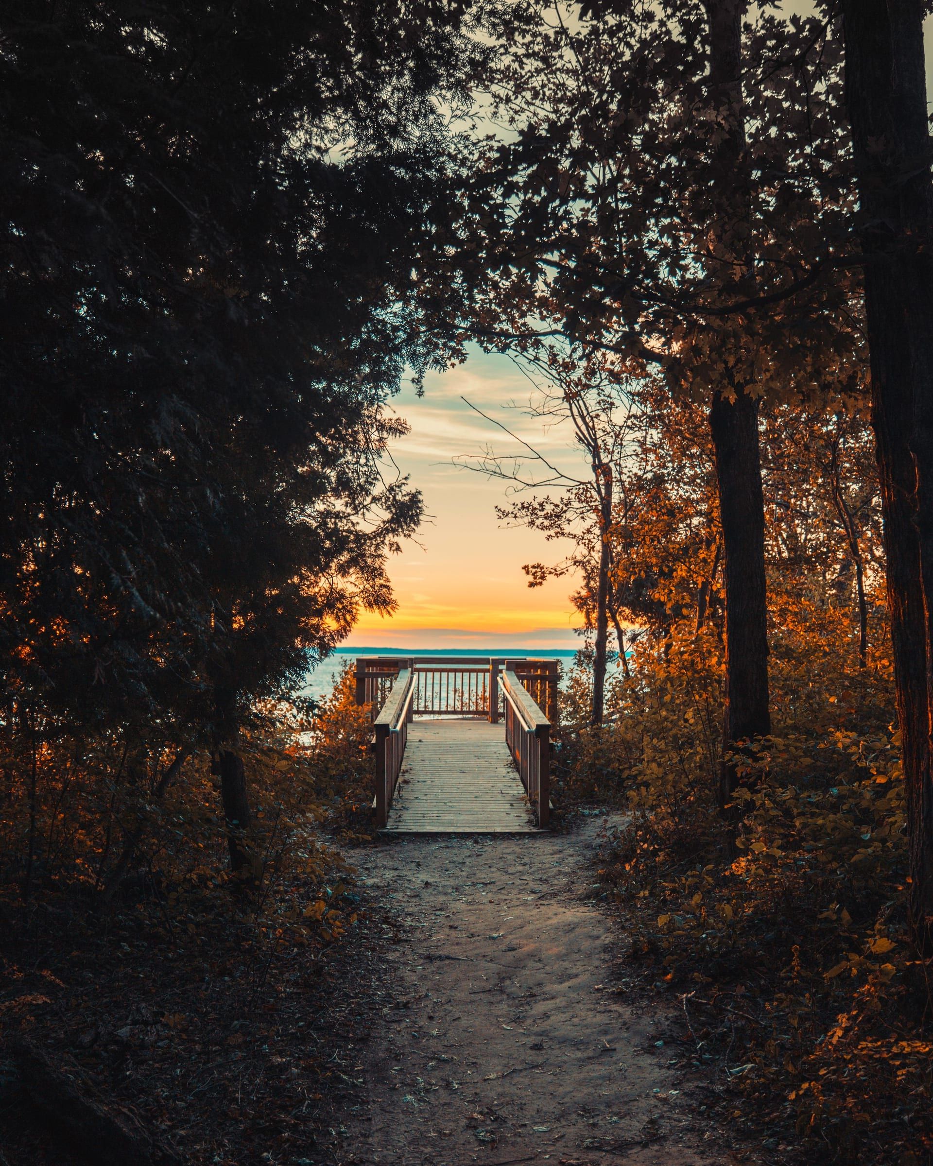
Come for Fishtown, a working fishing village on the National Register, in a Leelanau village set between Lake Michigan and Lake Leelanau.
About 2 miles away (straight line)
Lake · Benzie & Sleeping Bear
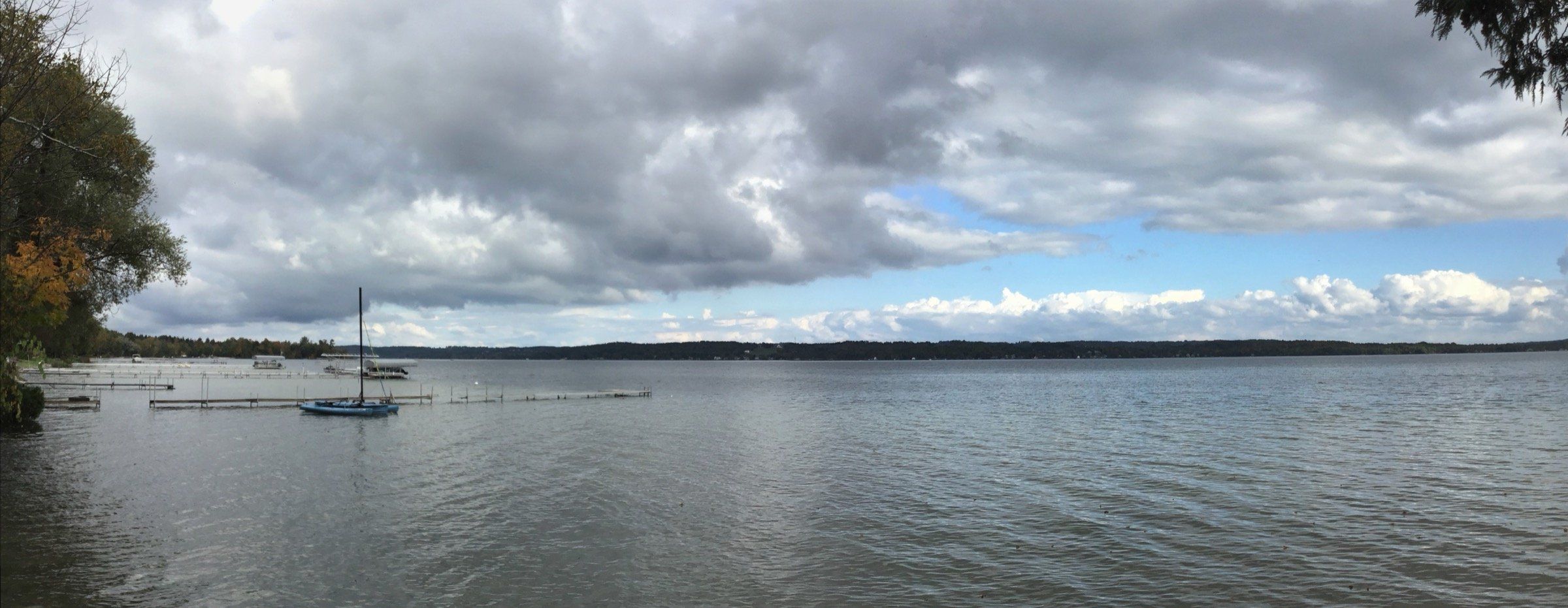
A long, clear, all-sports lake down the Leelanau Peninsula: walleye in both basins, lake trout in the deep north, township beaches and winter ice fishing.
Lake Leelanau is a long, clear, all-sports lake running down the middle of the Leelanau Peninsula: ski, tube and cruise outside the no-wake Narrows, or spend the day fishing. It covers about 8,608 acres in two basins. The north basin is the deep one, up to 121 feet with an average of 40, and the south basin reaches 62 feet with an average of 24. Walleye, smallmouth bass and perch are in both basins, and the north basin adds lake trout and lake whitefish. Swim at the public beaches on the north basin, and come back in winter to fish through the ice.
Pick your basin before you launch. North Lake Leelanau and South Lake Leelanau meet at the Narrows beside the small community of Lake Leelanau, where M-204 crosses on a bridge. The north basin is listed for lake trout and lake whitefish along with walleye, smallmouth bass and yellow perch. The south basin is listed for walleye, bass, rock bass and perch. Several state launches, including one at the Narrows, put you on either side. The map pin marks the middle of the lake near the Narrows.
The lake stretches about 16 miles, from near Leland in the north to the community of Cedar at its southern end. At the north end it drains through the Leland River, which runs northwest for about a mile to Lake Michigan at Leland.
Slow, no-wake speed through the buoyed Narrows at the village of Lake Leelanau, and on the Carp River at Leland from the M-22 bridge upstream into the north arm of the lake. No other local limits are listed.
Two public beaches sit on North Lake Leelanau: Bartholomew Park (Nedow's Beach) at the end of Pearl Street in Leland, with a launch, picnic area and dock, and Schneider's Beach and Park at the end of Popp Road off M-204, about 1.5 miles west of the village of Lake Leelanau.
On the Michigan DNR's list of better fishing waters, North Lake Leelanau is good for lake trout, lake whitefish, rock bass, smallmouth bass, walleye and yellow perch, and South Lake Leelanau for rock bass, smallmouth bass, walleye and yellow perch. Check current Michigan DNR rules before fishing.
Species include lake trout, lake whitefish, rock bass, smallmouth bass, walleye, and yellow perch.
Lake trout in North Lake Leelanau every year from 2015 through 2026. No DNR stocking recorded in South Lake Leelanau since 2015.
Clear water. Long-term average Secchi depth was about 16.3 feet in North Lake Leelanau and 15.2 feet in South Lake Leelanau (Leelanau Conservancy data through 2014).
The two basins meet at the Narrows by the village of Lake Leelanau. At the north end the lake drains through the Leland River, which runs about a mile to Lake Michigan at Leland.
Lake Leelanau is ice-fished in winter. The DNR has reported limit catches of walleye at the south end of South Lake Leelanau through the ice (February 2021). Early-season ice can be hit or miss, so check conditions before you go out.
The Narrows boating access site
Two lanes that take any trailerable boat, a pier, paved parking for 29 trailers, vault toilets and a boat wash. A Recreation Passport is required.
Lake Leelanau East boating access site
Two lanes, a pier, paved parking for 18 trailers, a vault toilet and a boat wash. A Recreation Passport is required.
Lake Leelanau West boating access site
One lane, a pier, gravel parking for 5 trailers, a vault toilet and a boat wash. A Recreation Passport is required.
Carp River boating access site (Leland)
One lane on the river at Leland with paved parking for 5 trailers. A Recreation Passport is required.
Bartholomew Park (Leland)
Public beach and park on North Lake Leelanau at the end of Pearl Street in Leland, listed with a boat launch, picnic area and dock.
Fishing, launching at a state site or parking at a state park? See licenses and passes for what you need before you go.
Anything not listed here is unverified. Do not assume public access across private shoreline. Check the Michigan DNR boating access listings and the current fishing regulations.
Map of Lake Leelanau
2 places on an OpenStreetMap map
Lakefront cottages and homes are listed by the local rental managers and booking sites below.
Budget
The Leland LodgeListed by the Leland Chamber of Commerce
Search all hotels in Leland: Booking.com · Expedia · Hotels.com · Google Hotels
We don’t take bookings or earn anything from these links. Rates, availability and any booking problems are handled by the booking site.
Benzie & Sleeping Bear · Small town
Come for Fishtown, a working fishing village on the National Register, in a Leelanau village set between Lake Michigan and Lake Leelanau.
About 2 miles away (straight line)
Straight-line distances from the map point.
Beach
Leland's public Lake Michigan beach, a short walk from downtown at the end of Cedar Street, joined to Hall Beach and Fishtown by the shore. A local sunset spot.
About 2 miles away (straight line)
Beach
A national lakeshore beach at the end of Bohemian Road (County Road 669) on Good Harbor Bay, with a picnic area, a seasonal vault toilet and sunsets toward Pyramid Point.
About 9 miles away (straight line)
Beach
Northport's village beach on Grand Traverse Bay, just south of the marina on Bay Street, with a sandy swim area, restrooms, picnic tables and a playground.
About 10 miles away (straight line)
Bay · Grand Traverse & Inland Lakes
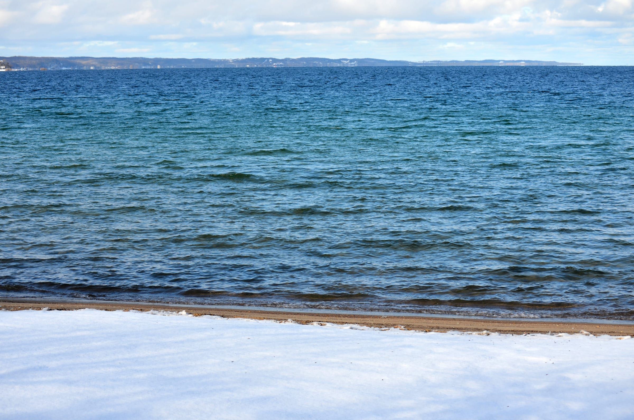
Traverse City's big water: a Lake Michigan bay with city beaches, five public harbors with slips, fuel at two, sailing, paddling and trout and salmon fishing.
River · Benzie & Sleeping Bear
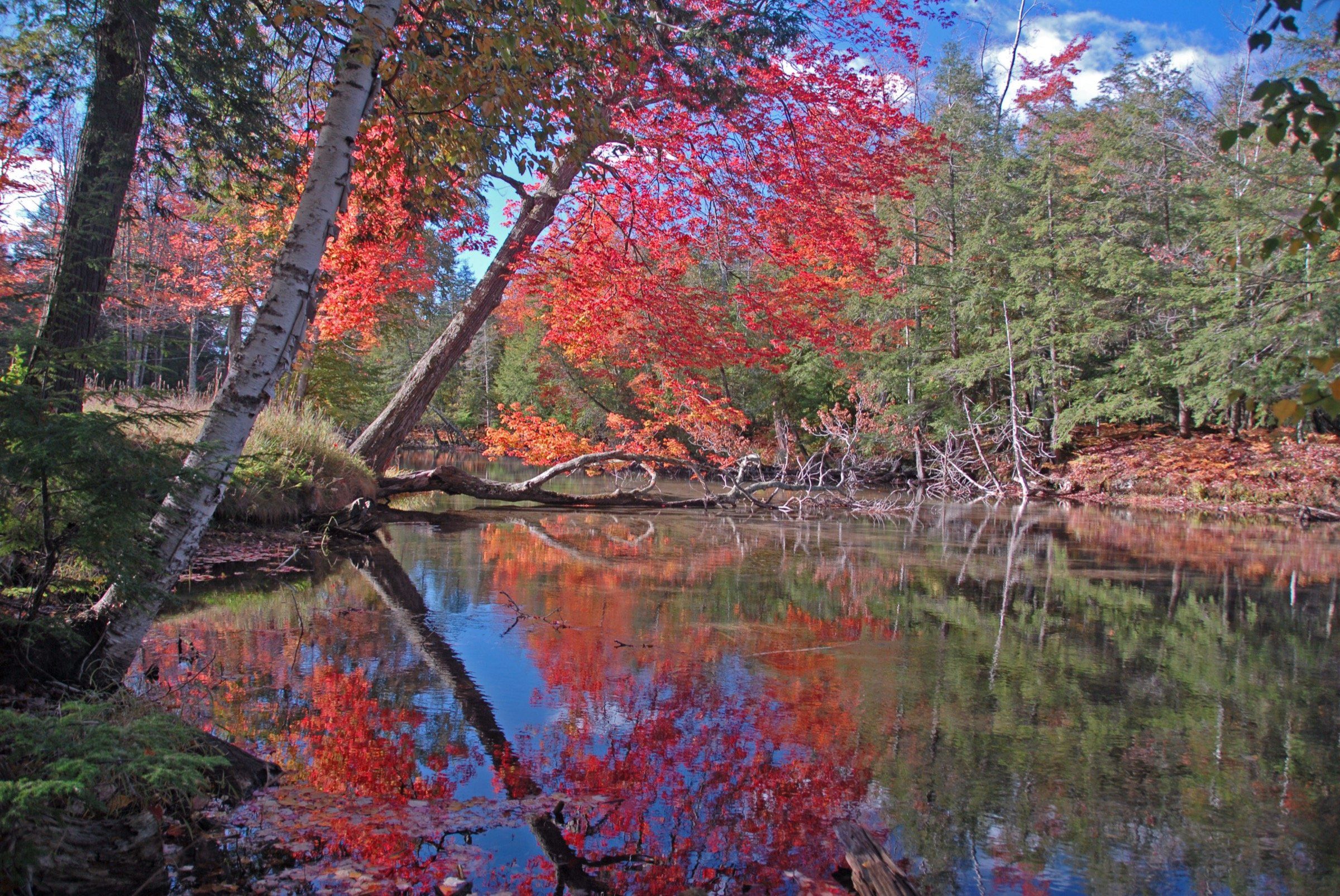
A gentle, clear, shallow float for families and first-time paddlers, winding from Glen Lake to Lake Michigan at Glen Arbor.
Lake · Benzie & Sleeping Bear
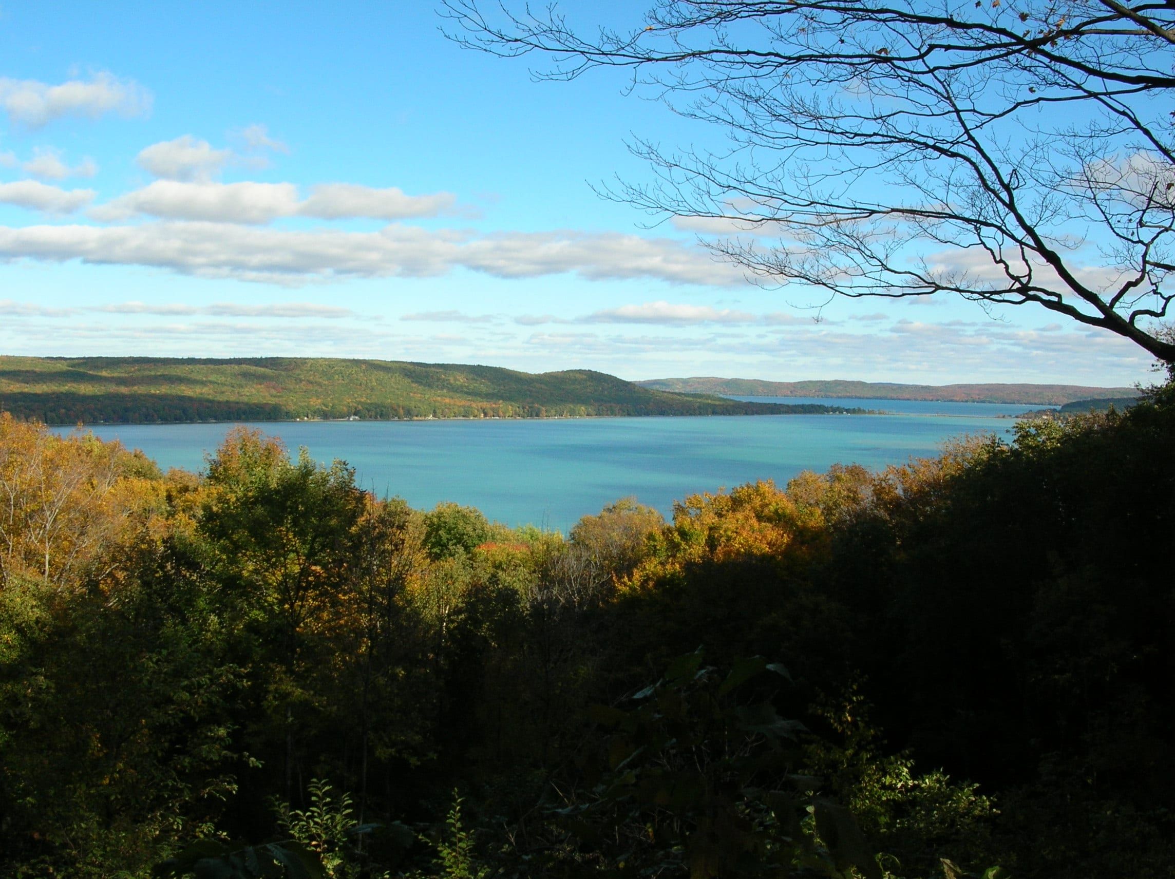
A clear two-basin lake at Glen Arbor: ski and cruise deep Big Glen from the marina, swim and paddle sandy Little Glen, ice fish for perch in winter.
May we count your visit with Google Analytics? It helps us see which guides are useful. Nothing is collected unless you choose Allow. Details
Your browser sends Global Privacy Control, so analytics stays off and we will not ask again.