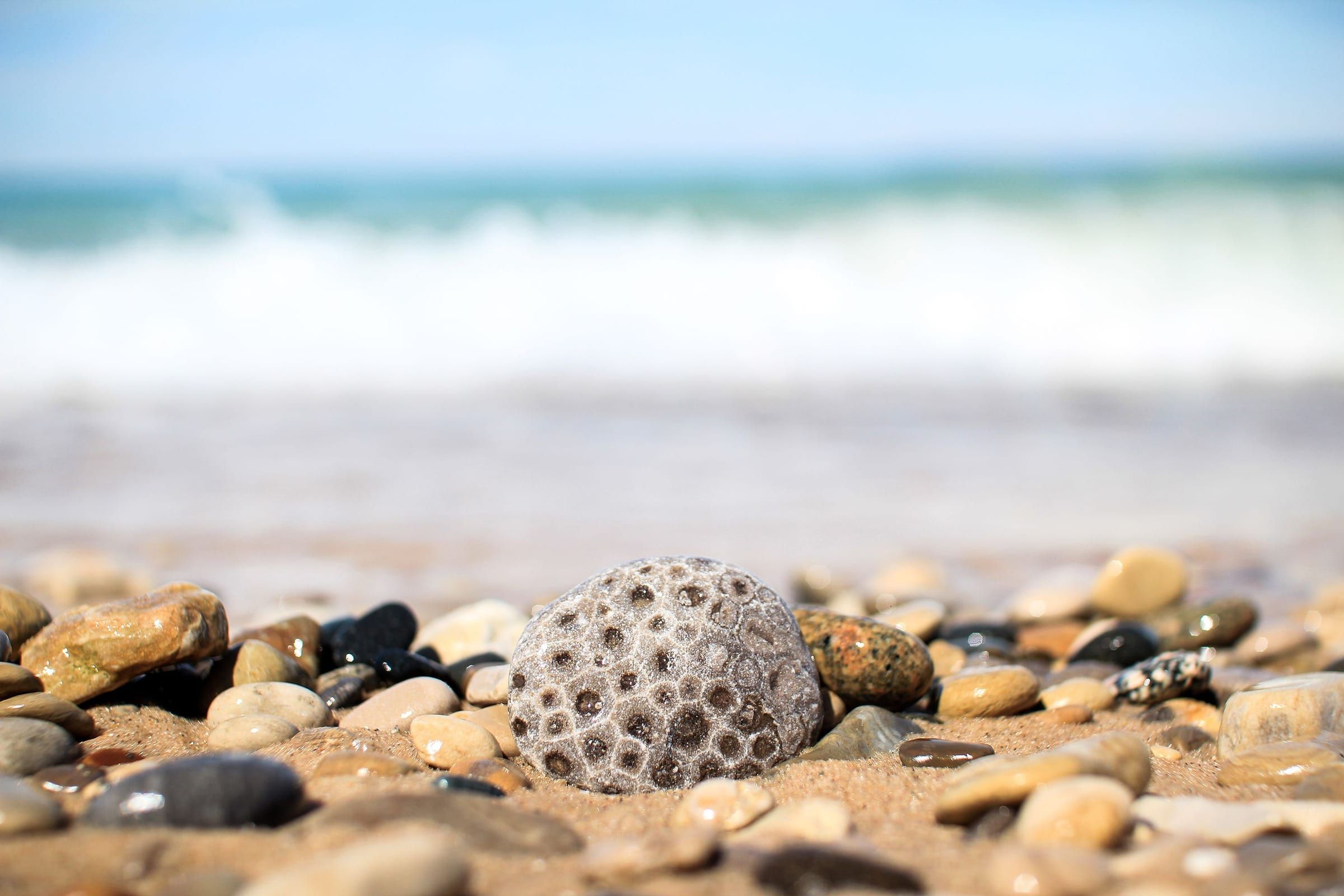
Charlevoix & Petoskey
Petoskey
A walkable bay town for stone hunting, shopping the Gaslight District and riding the Little Traverse Wheelway, with historic Bay View next door.
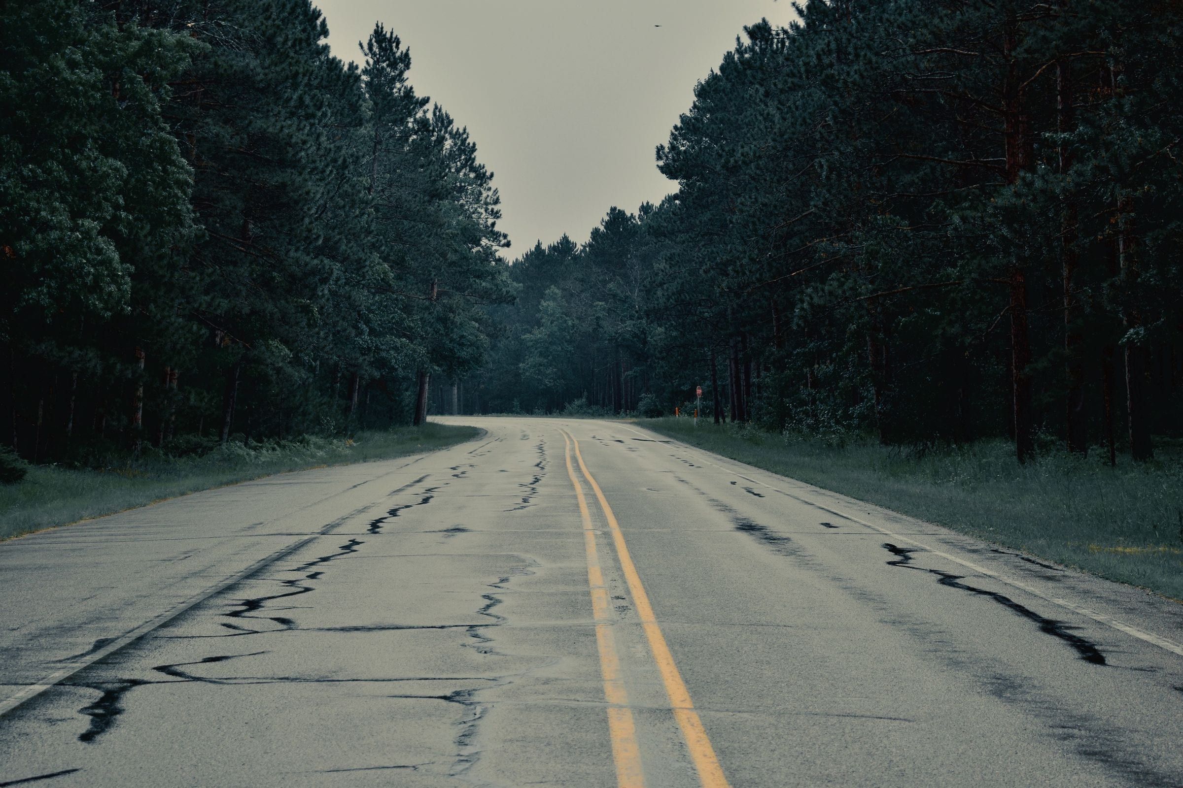
Getting here · I-75, US-131, US-31, I-96, M-72
From Detroit, I-75 is the main road north to Gaylord, Petoskey and Mackinaw City, while I-96 leads west to US-31 and the Lake Michigan shore.
From Detroit, the shape of the trip depends on which end of the region you want. For the north, I-75 does most of the work. The Petoskey visitors bureau sends Detroit drivers up I-75 to exit 282 at Gaylord and then west on US-131 into Petoskey. From Petoskey, US-31 continues north toward the Mackinac Bridge and Mackinaw City, and Mackinac State Historic Parks describes I-75 as the main road to the ferry towns of Mackinaw City and St. Ignace.
For Traverse City and Sleeping Bear Dunes, the National Park Service names I-75 and M-72 among the approaches from the south, with M-72 crossing west from Grayling to Traverse City.
For the southern shore, the route bends west instead. The Ludington and Grand Haven visitors bureaus both point Detroit drivers onto I-96 west to US-31, then north to Ludington or south into Grand Haven. Check MDOT’s road closure map before setting out.
Map of Getting here from Detroit
4 places on an OpenStreetMap map
Charlevoix & Petoskey
A walkable bay town for stone hunting, shopping the Gaslight District and riding the Little Traverse Wheelway, with historic Bay View next door.
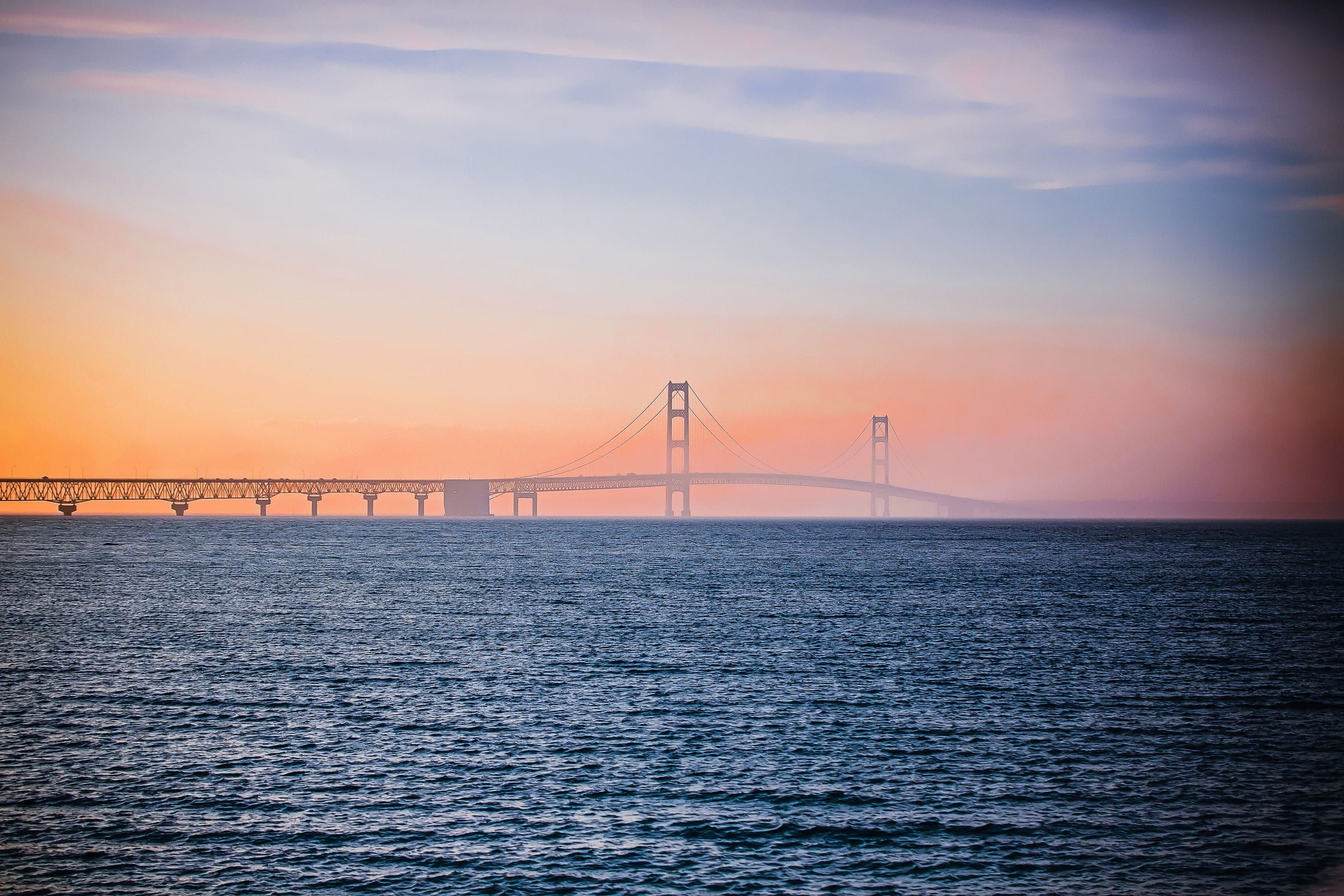
Mackinac & Straits
The base for the Straits, beside the Mackinac Bridge at the tip of the Lower Peninsula, with a reconstructed colonial fort and ferries to Mackinac Island.
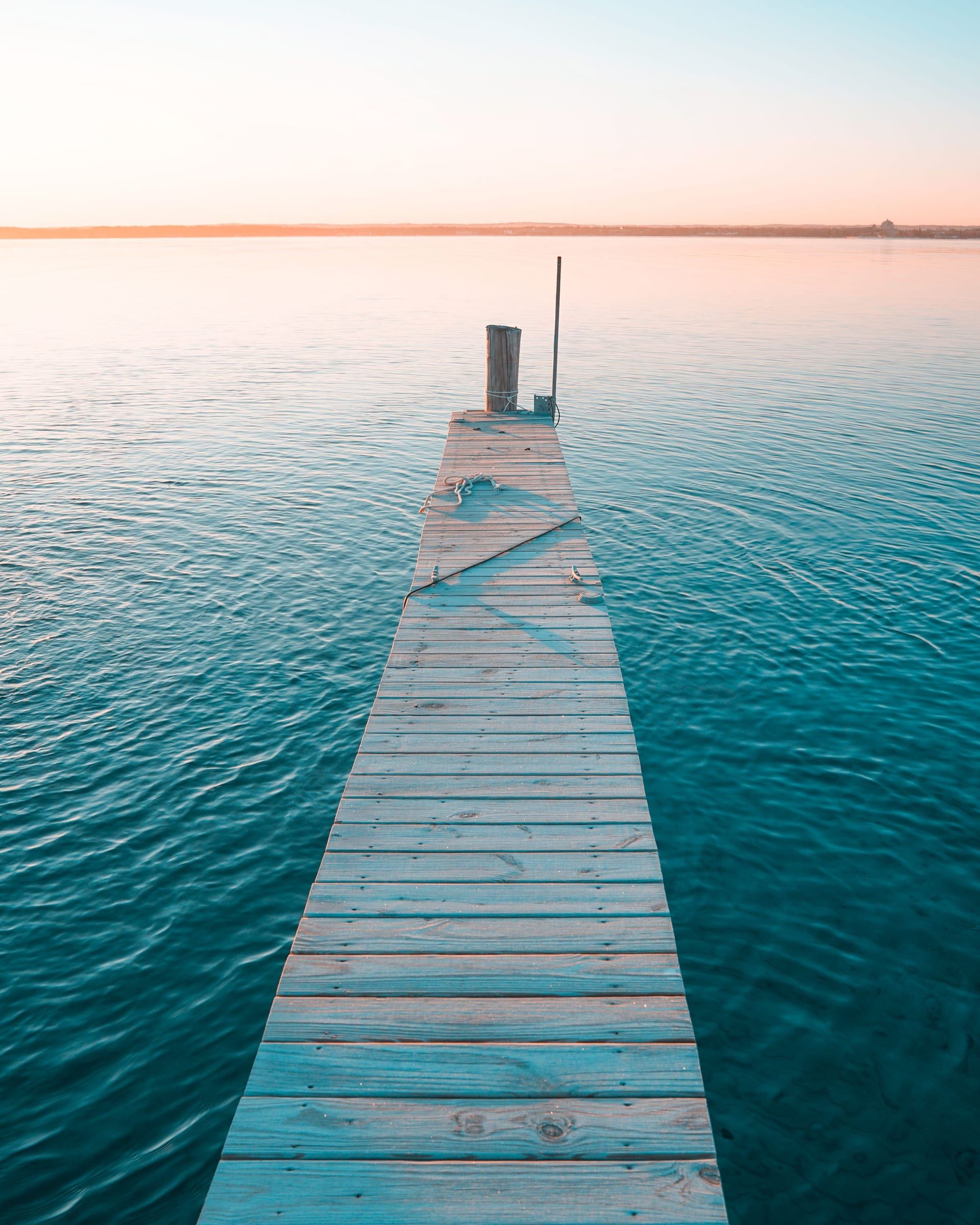
Grand Traverse & Inland Lakes
A bayfront city at the head of Grand Traverse Bay, with a walkable Front Street downtown, bay beaches, cherry orchards and two wine peninsulas close by.
Ludington & Manistee
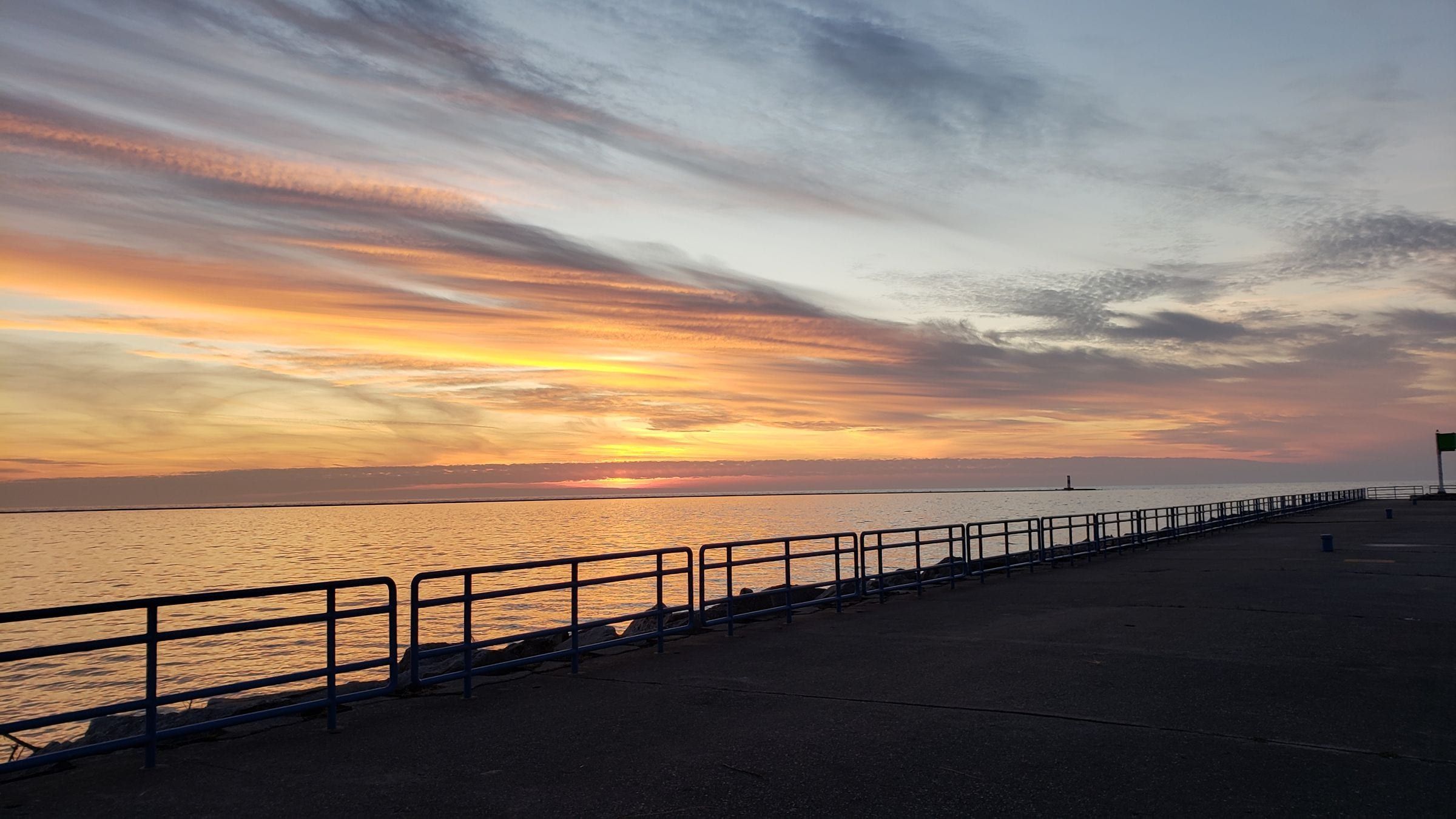
A Lake Michigan harbor town for beach and lighthouse trips, with the S.S. Badger car ferry and a big dune state park just north of town.
Southern Gateway
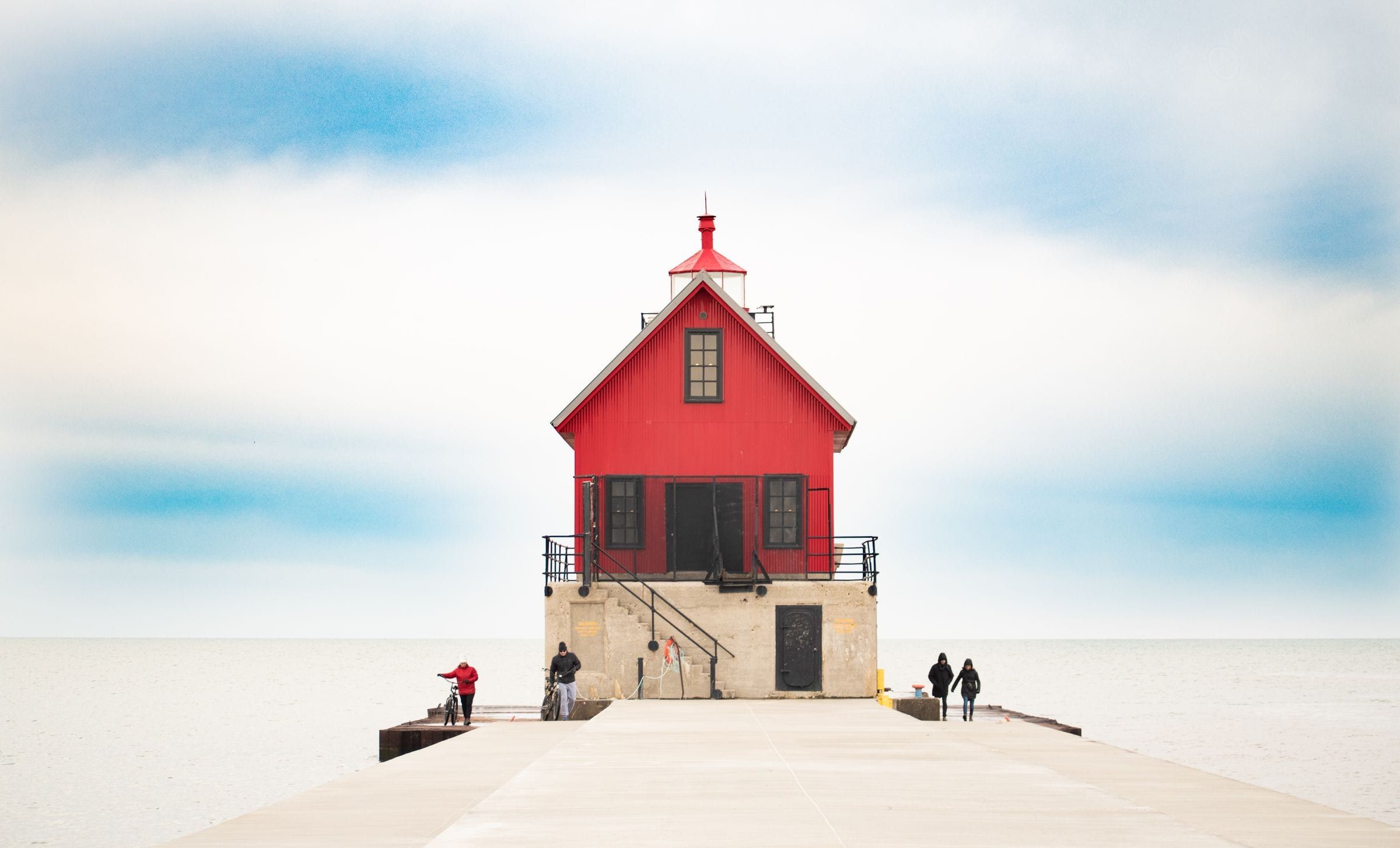
A Lake Michigan beach city on the Grand River: a state park beach, a pier walk to two red lights, a riverfront boardwalk and free Musical Fountain shows.
Bridge
The five-mile suspension bridge that carries I-75 across the Straits of Mackinac between Mackinaw City and St. Ignace, open since November 1, 1957.
May we count your visit with Google Analytics? It helps us see which guides are useful. Nothing is collected unless you choose Allow. Details
Your browser sends Global Privacy Control, so analytics stays off and we will not ask again.