
Southern Gateway
Muskegon
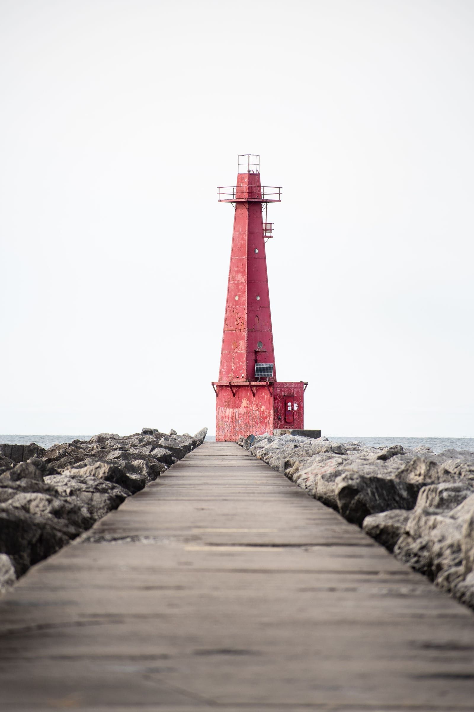
A port city for dune hikes and beach days: state parks on both sides of town, a city beach, pier lighthouses, maritime museums and a ferry to Milwaukee.
About 35 miles away (straight line)
River · Southern Gateway
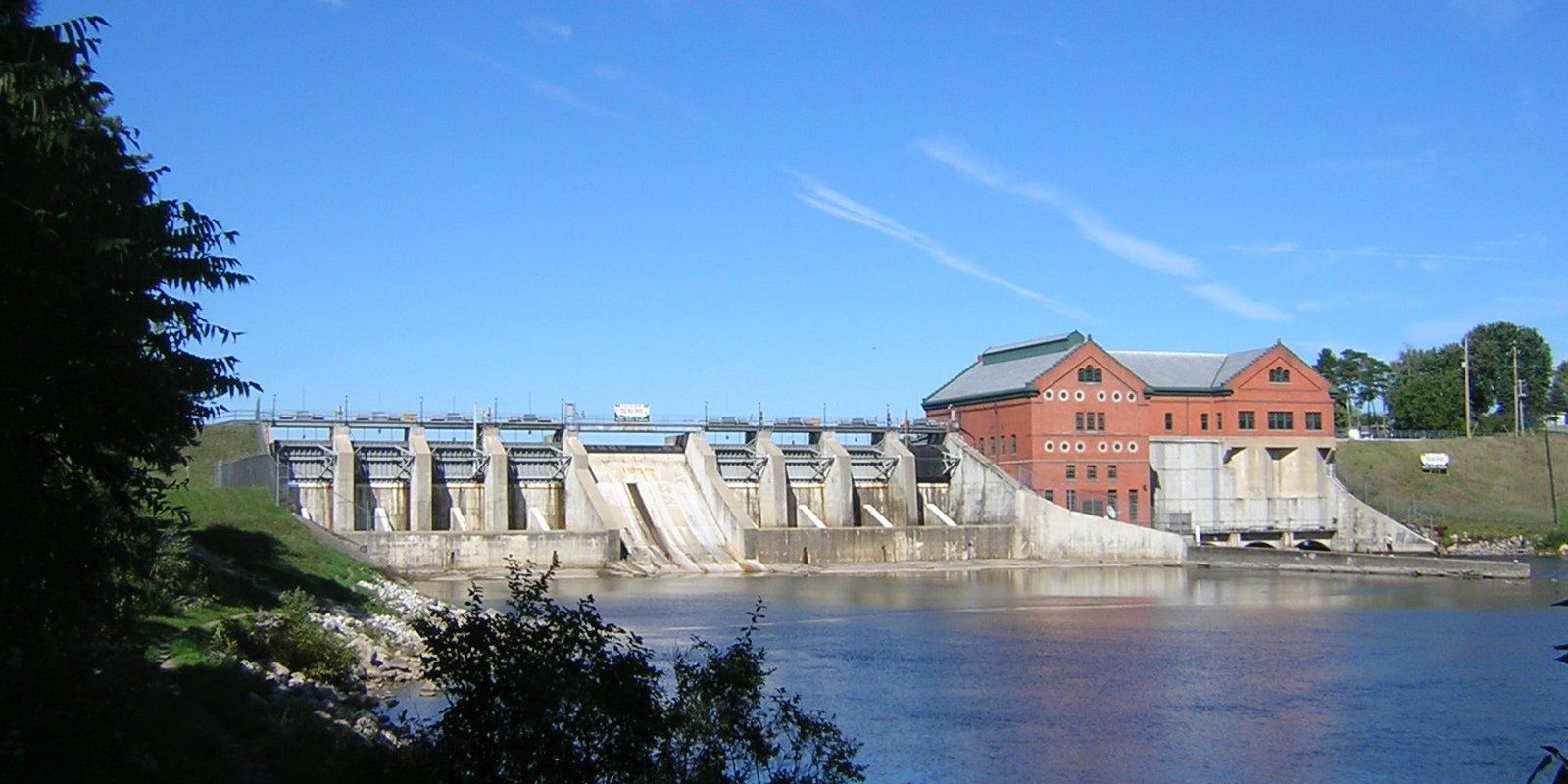
A long trout, salmon and walleye river below Croton Dam, with Newaygo liveries for canoes and tubes, plenty of DNR ramps and early-winter steelhead.
The Muskegon is a long river for anglers and paddlers. Focus on the lower reach below Croton Dam, where a string of boat ramps and shore-fishing sites runs down to Muskegon Lake, and liveries in Newaygo, such as Wisner Rents Canoes, rent canoes, kayaks and tubes. Anglers keep at it into early winter, when steelhead hold in both the shallows and the deeper holes.
It begins near Houghton and Higgins lakes in the north-central Lower Peninsula and runs about 219 miles to Muskegon Lake. Its watershed covers more than 2,700 square miles, second in Michigan only to the Grand River’s, and some 94 tributaries feed it.
Between Croton Dam in Newaygo County and Muskegon Lake you will find boat ramps and shore-fishing sites in the City of Newaygo, the Muskegon State Game Area and elsewhere along the river. The coordinates on this page mark Croton Dam, the upper end of that lower river. Many of the state ramps are in shallow water, so launching the largest boats can be difficult.
The river ends at a restored waterfront. Muskegon Lake, which receives it, was removed from the list of Great Lakes Areas of Concern in 2025 after decades of cleanup.
More than a dozen Muskegon River access sites run from Muskegon Lake and the Muskegon State Game Area up through the City of Newaygo, Newaygo State Park and beyond, many with boat ramps and shore fishing.
Cool and cold tributaries help sustain trout in the river system. Check current Michigan DNR rules before fishing.
Brown trout and rainbow trout every year from 2016 to 2026 in the Newaygo County stretch, and coho salmon there each year from 2019 to 2026. Walleye in the Muskegon County stretch in 2016, 2017, 2019 and 2024, and in Osceola County in 2017, 2019, 2022 and 2025.
Steelhead fishing carries into early winter: a December DNR report had the river producing steelhead both in the shallows and the deeper holes. Check current DNR rules and river conditions before you go.
Maple Island boating access site
Two-lane hard-surface ramp with a carry-down area, a courtesy pier and parking for about 25 trailers. Shallow water can make launching the largest boats difficult. You need a Recreation Passport for vehicles at state boating access sites.
Bridgeton River Launch Park
Township launch with a hard-surface ramp, carry-down area, two piers and parking for about 12 trailers.
Anderson Flats boating access site
Three-lane hard-surface ramp with parking for about 15 trailers. Shallow water can make launching the largest boats difficult. You need a Recreation Passport for vehicles at state boating access sites.
New Bridge boating access site
Single-lane hard-surface ramp with parking for about 10 trailers. Shallow water can make launching the largest boats difficult. You need a Recreation Passport for vehicles at state boating access sites.
Henning Park
Newaygo County park launch with two lanes, parking for about 40 trailers and a fish-cleaning station.
High Rollway boating access site
Three-lane hard-surface ramp with parking for about 30 trailers. Shallow water can make launching the largest boats difficult. You need a Recreation Passport for vehicles at state boating access sites.
Pine Street boating access site
Single-lane hard-surface ramp with parking for about 30 trailers. Shallow water can make launching the largest boats difficult. You need a Recreation Passport for vehicles at state boating access sites.
Canoe, kayak, tube and boat rentals, plus raft trips, on the Muskegon River in Newaygo.
Listed because their own sites say they rent on this water. Not an endorsement, and we have no ties to them. Check with them for what is available.
Fishing, launching at a state site or parking at a state park? See licenses and passes for what you need before you go.
Anything not listed here is unverified. Do not assume public access across private riverbanks. Check the Michigan DNR boating access listings and the current fishing regulations.
Map of Muskegon River
2 places on an OpenStreetMap map
The pin marks one well-known point on the river, not its full course.
Riverfront homes and cabins are listed by the local rental managers and booking sites below.
Upscale
Shoreline Inn & Conference CenterFeatured by Visit Muskegon (the Muskegon County visitors bureau) in its meeting planners article
Mid-range
Delta Hotels Muskegon Convention CenterFeatured by Visit Muskegon (the Muskegon County visitors bureau) in its meeting planners article
Confirm details before booking.
Search all hotels in Muskegon: Booking.com · Expedia · Hotels.com · Google Hotels
We don’t take bookings or earn anything from these links. Rates, availability and any booking problems are handled by the booking site.
Southern Gateway
A port city for dune hikes and beach days: state parks on both sides of town, a city beach, pier lighthouses, maritime museums and a ferry to Milwaukee.
About 35 miles away (straight line)
River · Southern Gateway
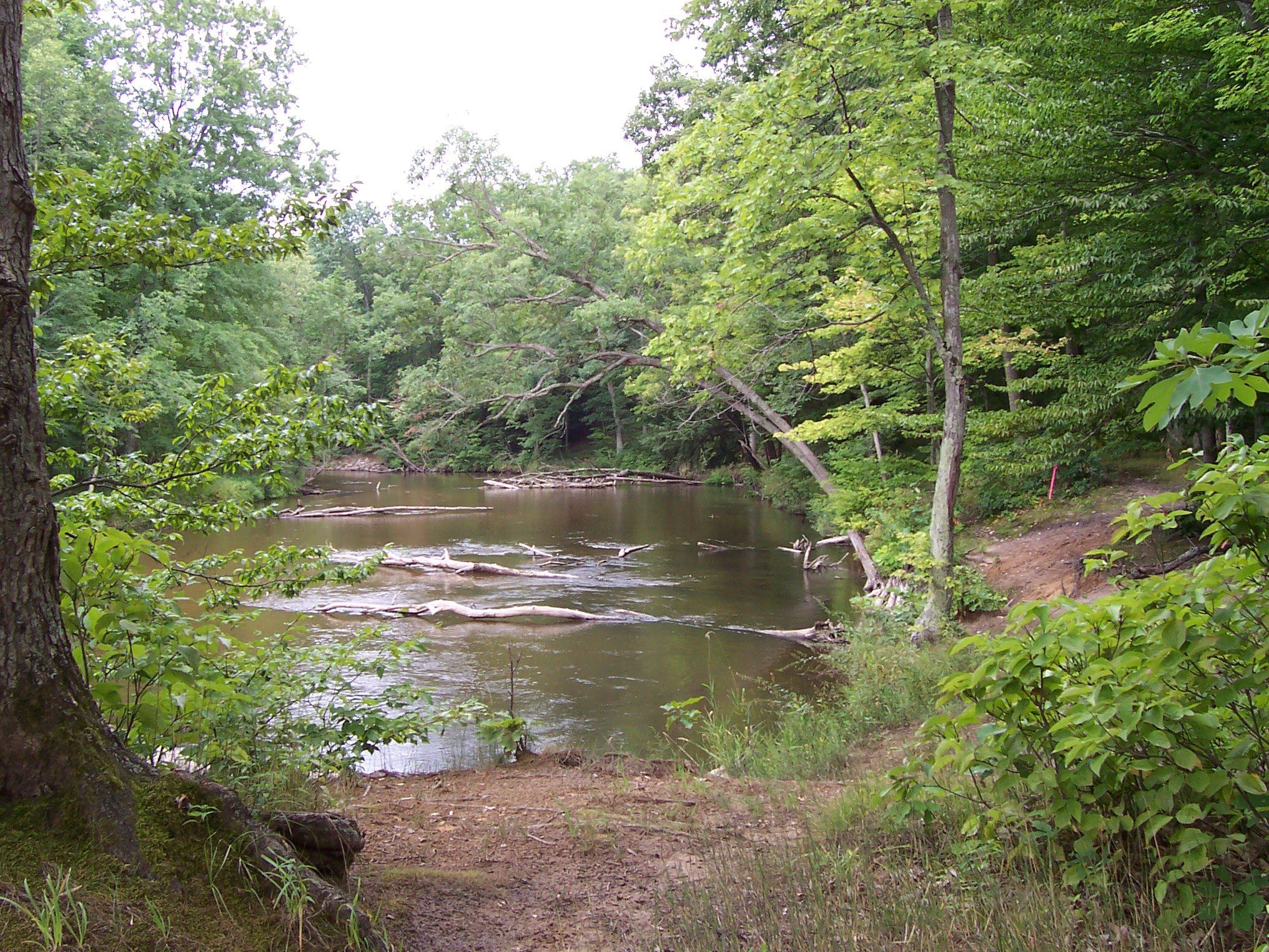
An easy Natural River float by tube, canoe or kayak near Hesperia, with Montague liveries, fall salmon, spring steelhead and quiet winter trout fishing.
May we count your visit with Google Analytics? It helps us see which guides are useful. Nothing is collected unless you choose Allow. Details
Your browser sends Global Privacy Control, so analytics stays off and we will not ask again.